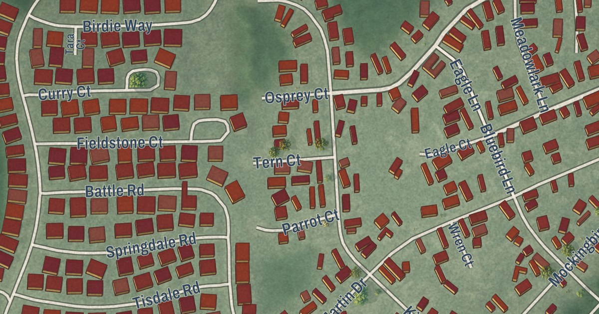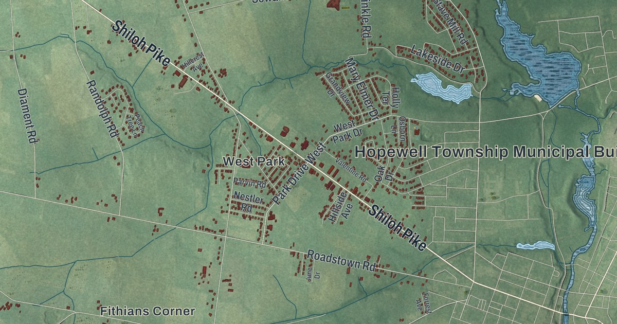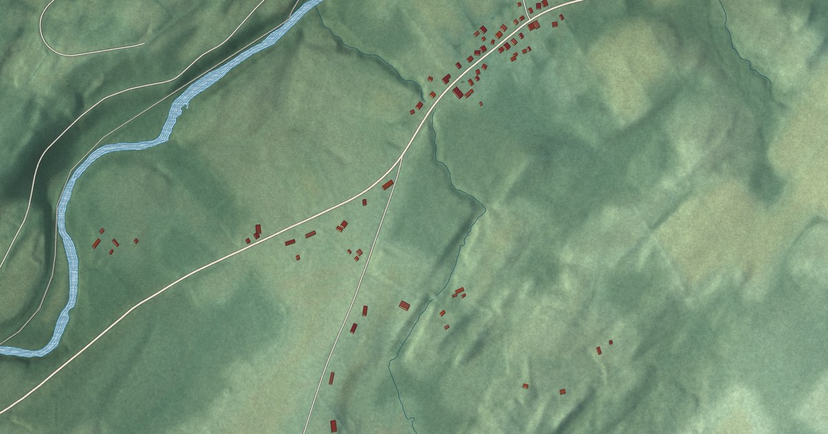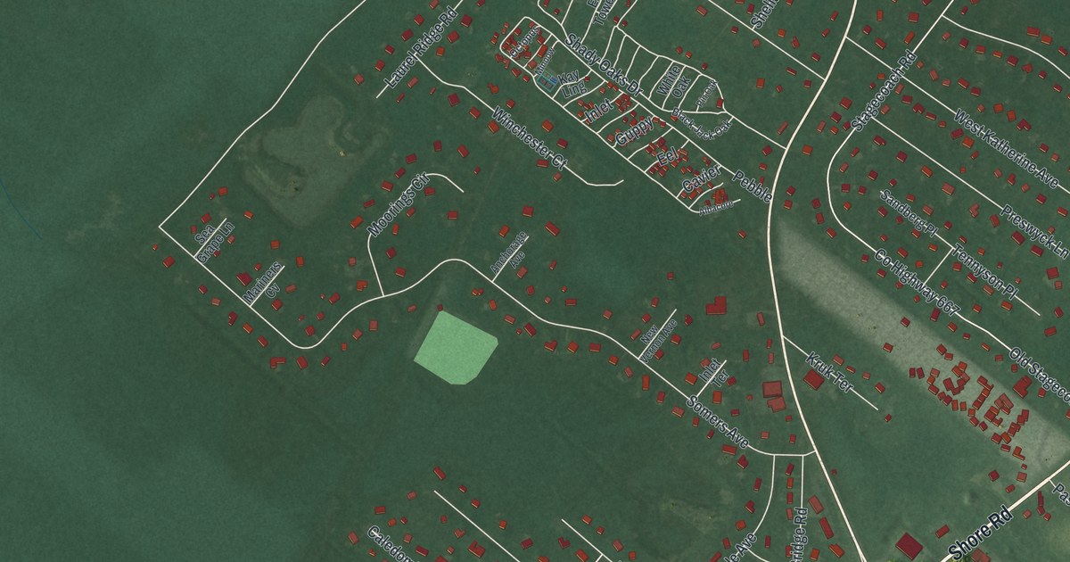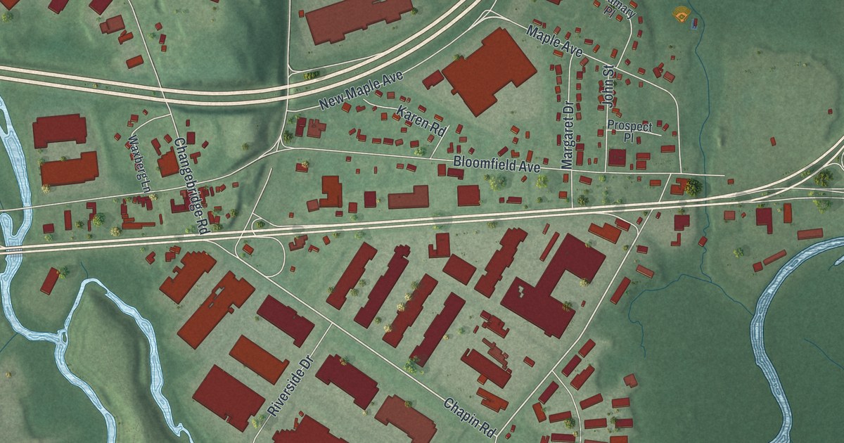
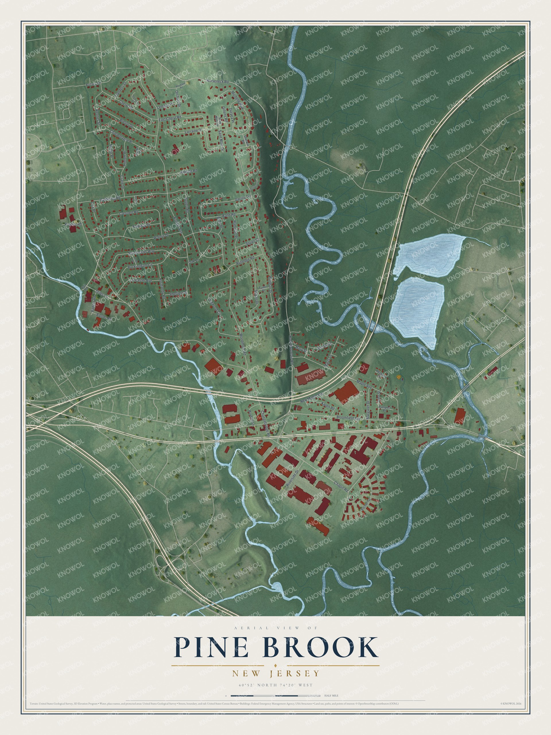
This beautifully detailed map of Pine Brook, New Jersey was created in 2026 using aerial imagery combined with modern topographical, census, street and landmark data. It’s a one-of-a-kind view of Pine Brook that combines accurate data with a vintage aesthetic. The map shows every building in its true location, many of the roads carry their names, and the shaded topographic relief shows the shape of the land.
Explore an aerial view of Pine Brook, New Jersey
On the map you’ll find Stiles Lane, New Maple Avenue, Maple Avenue, Horseneck Road, Chapin Road, and more. If you look closely you can even find your house accurately drawn in its correct location. Zoom in on the preview to look for yours.
Did You Know?
Dutch farmers from New Amsterdam settled Pine Brook in the 1710s. They raised dairy cattle, fruit and vegetables. Nearby mills made cider and cider brandy for many years. In 1760 Pine Brook built the first schoolhouse in Montville Township, a log building.
Take a closer look at the Pine Brook map
Names on this map
These names are printed on this map.
Streets and roads: Stiles Lane, New Maple Avenue, Maple Avenue, Horseneck Road, Chapin Road, Bloomfield Avenue, Changebridge Road, Hook Mountain Road, Windsor Drive, Konner Avenue, Woodmont Road, Gathering Road.
More street names, A to Z
Adamary Place, Badger Road, Barnet Road, Birch Place, Bogert Road, Breton Drive, Brittany Road, Buckingham Circle, Charlemagne Place, Cheryl Road, Collard Lane, Crane Drive, Crescent Road, Demoray Court, Dogwood Circle, Duryea Place, East Cheryl Road, Flanders Drive, Garrity Terrace, Gillens Road, Hamilton Place, Hilldale Road, Isolde Court, John Street, Karen Road, Kramer Road, Lancaster Avenue, Leeds Avenue, Lemans Place, Lisa Place, Lorraine Drive, Manchester Way, Margaret Drive, Marts Lane, Mary Street, Merlin Place, Michelle Way, Normandy Road, Oak Lane, Orchard Drive, Parkway Drive, Pellington Court, Prospect Place, Rachel Terrace, Rand Road, Rennes Street, Riverside Drive, Roe Ri Road, Rutledge Road, Saint Malo Drive, Sheffield Street, Sherwin Road, Stuart Court, Sylvan Drive, Tristam Place, Tudor Place, Vail Road, Walnut Drive, Waxberg Lane, Woodland Road.
See it on a wall
The Pine Brook map as an 18 x 24 inch print in a black frame.

This beautifully detailed map of Pine Brook makes an attractive addition to your office, library, or den, and it can even be used to teach children the geography and history of the area. It also makes a great gift for anyone with Pine Brook roots. When you’re done exploring, click here to get your copy of the Pine Brook map.