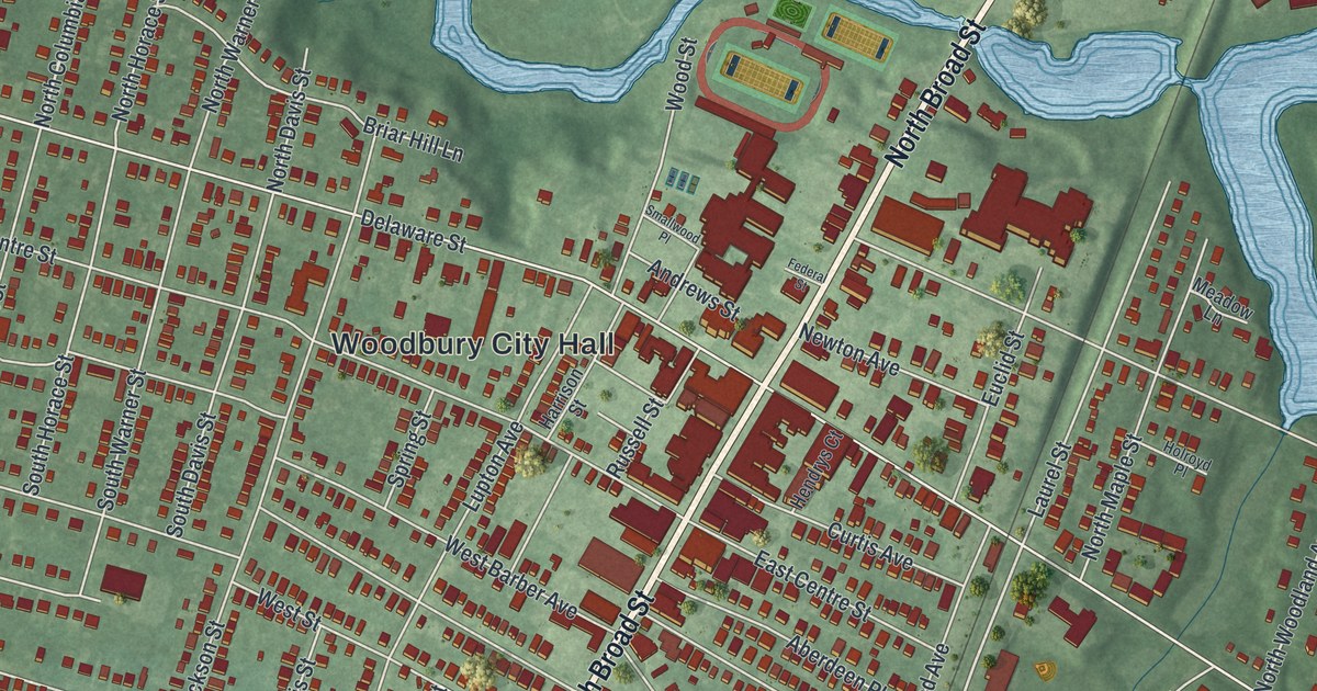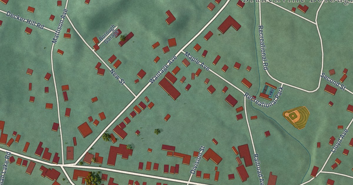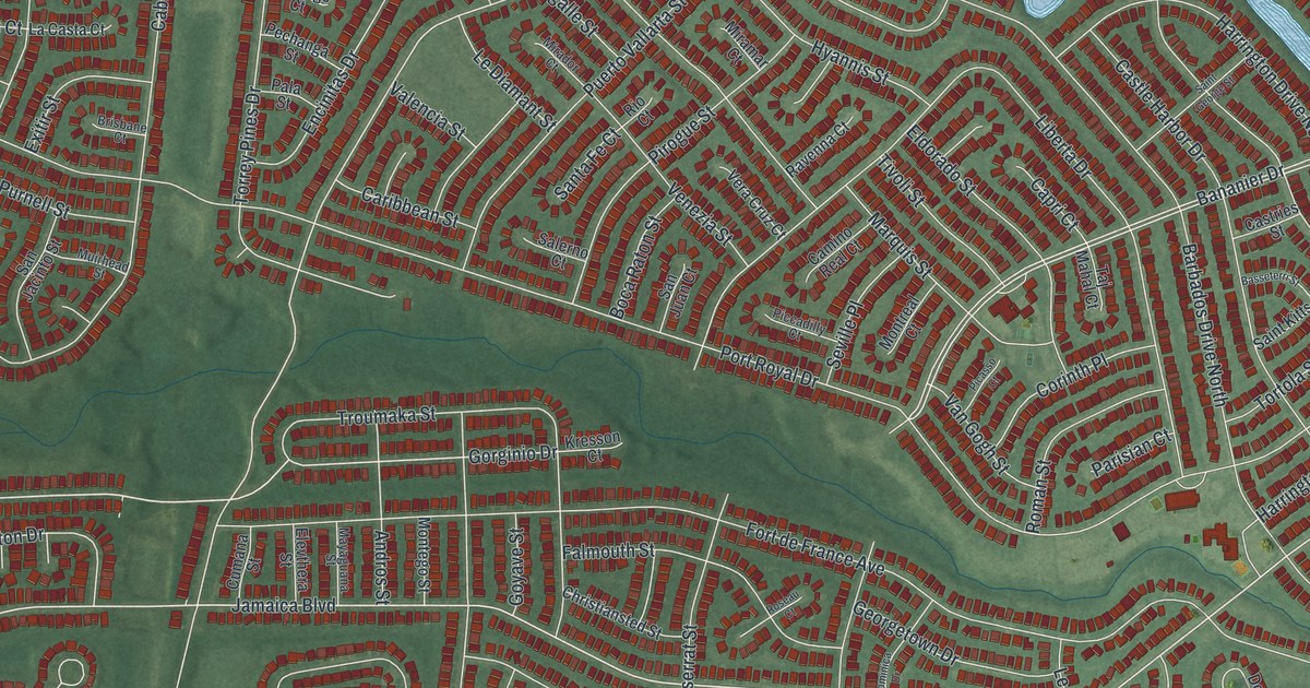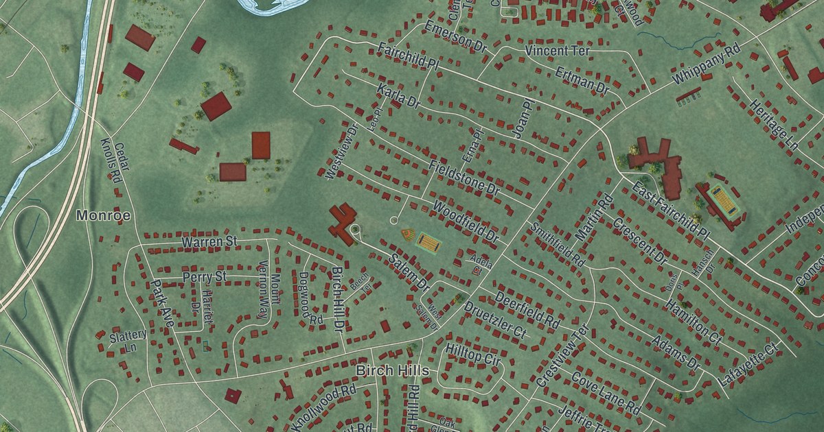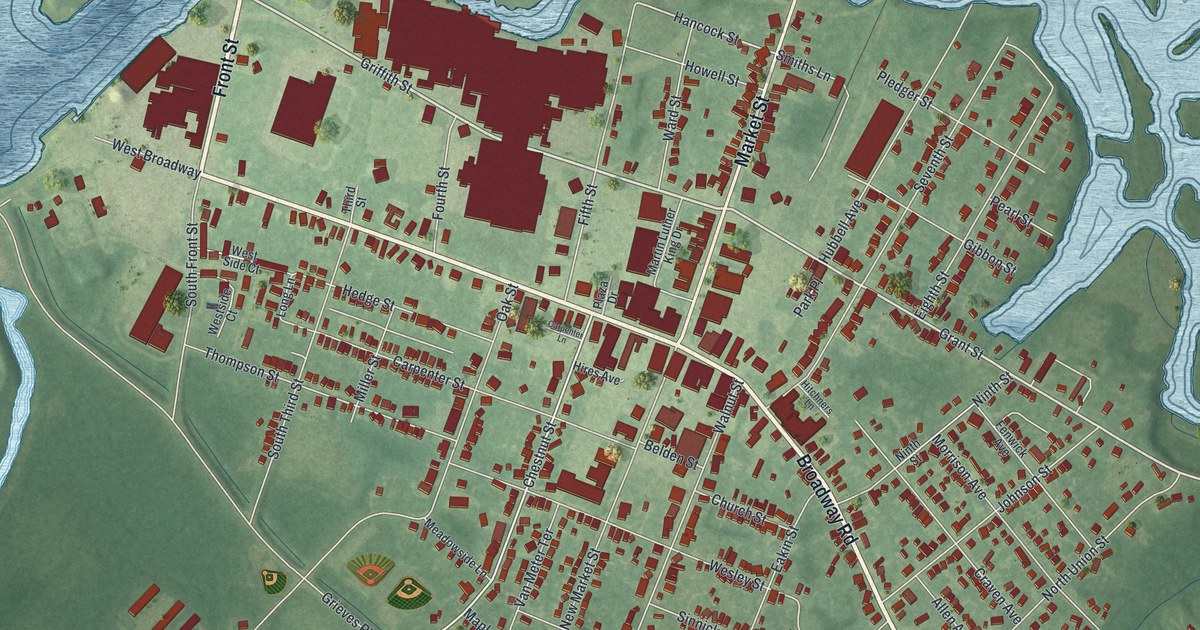
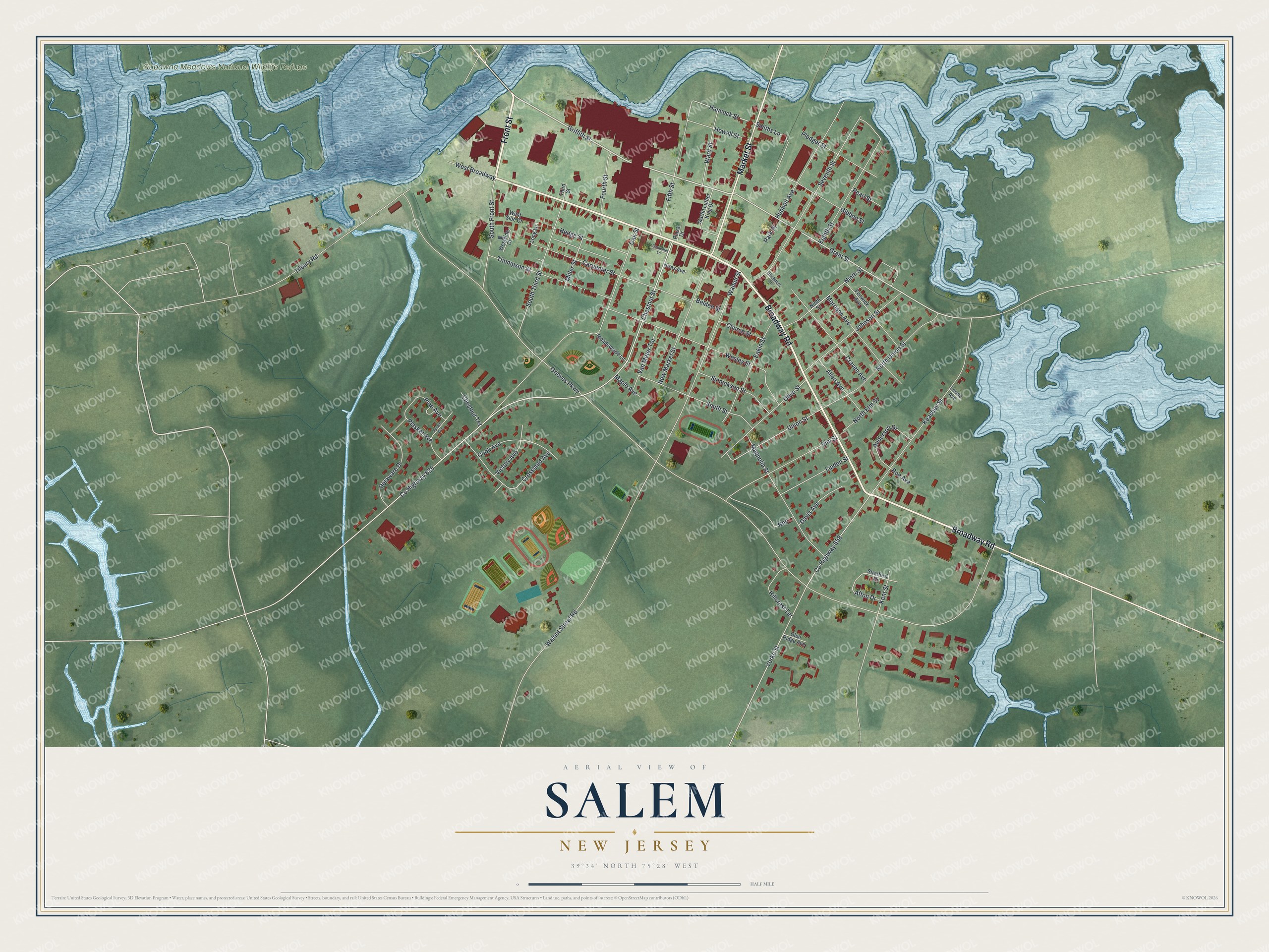
This beautifully detailed map of Salem, New Jersey was created in 2026 using aerial imagery combined with modern topographical, census, street and landmark data. It’s a one-of-a-kind view of Salem that combines accurate data with a vintage aesthetic. The map shows every building in its true location, many of the roads carry their names, and the shaded topographic relief shows the shape of the land.
Explore an aerial view of Salem, New Jersey
On the map you’ll find Supawna Meadows National Wildlife Refuge, along with Front Street, Broadway Road, Market Street, Griffith Street, Grant Street, and more. If you look closely you can even find your house accurately drawn in its correct location. Zoom in on the preview to look for yours.
Did You Know?
Salem was founded by John Fenwick, a Quaker, who laid out the town and colony in 1675. He settled near an abandoned Swedish fort on the Delaware Bay shore. The name Salem comes from shalom, the Hebrew word for peace.
Take a closer look at the Salem map
Names on this map
These names are printed on this map.
Places: Supawna Meadows National Wildlife Refuge.
Streets and roads: Front Street, Broadway Road, Market Street, Griffith Street, Grant Street, Chestnut Street, Yorke Street, Union Street, Hancock Street, Grieves Parkway, County Highway 625, Walnut Street Road.
More street names, A to Z
Afton Drive, Allen Avenue, Anderson Drive, Belden Street, Carpenter Lane, Carpenter Street, Chestnut Terrace, Church Street, Cook Avenue, County Highway 658, Craven Avenue, Crossland Avenue, Davis Avenue, Delaware Drive, Eakin Street, Eighth Street, Elm Street, Fenwick Avenue, Fifth Street, Fourth Street, Gibbon Street, Glen Ridge Avenue, Hedge Street, Hillcrest Terrace, Hires Avenue, Hitchners Lane, Howell Street, Hubbell Avenue, Johnson Street, Keasbey Street, Kent Street, Leona Avenue, Linden Street, Long Lane, Magnolia Street, Maple Avenue, Martin Luther King Drive, Meadowside Lane, Miller Street, Morrison Avenue, New Market Street, Ninth Street, Nnp, North Elm Street, North Union Street, Oak Street, Olive Street, Park Place, Pearl Street, Pine Avenue, Plasket Avenue, Plaza Drive, Pledger Street, Roe Avenue, Seventh Street, Sinnickson Street, Smiths Lane, Smith Street, South Front Street, South Third Street, Spruce Avenue, Stratford Drive, Third Street, Thompson Street, Tilbury Road, Van Meter Terrace, Victory Avenue, Walnut Street, Ward Street, Wesley Street, West Broadway, Westside Court, West Side Court.
See it on a wall
The Salem map as an 18 x 24 inch print in a black frame.

This beautifully detailed map of Salem makes an attractive addition to your office, library, or den, and it can even be used to teach children the geography and history of the area. It also makes a great gift for anyone with Salem roots. When you’re done exploring, click here to get your copy of the Salem map.