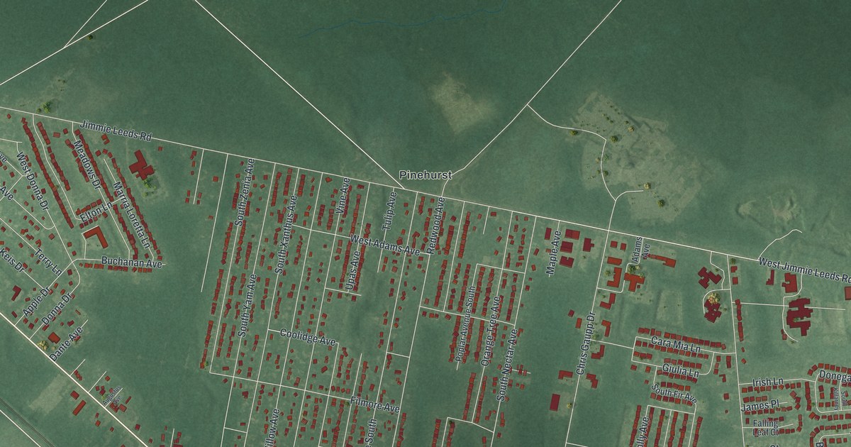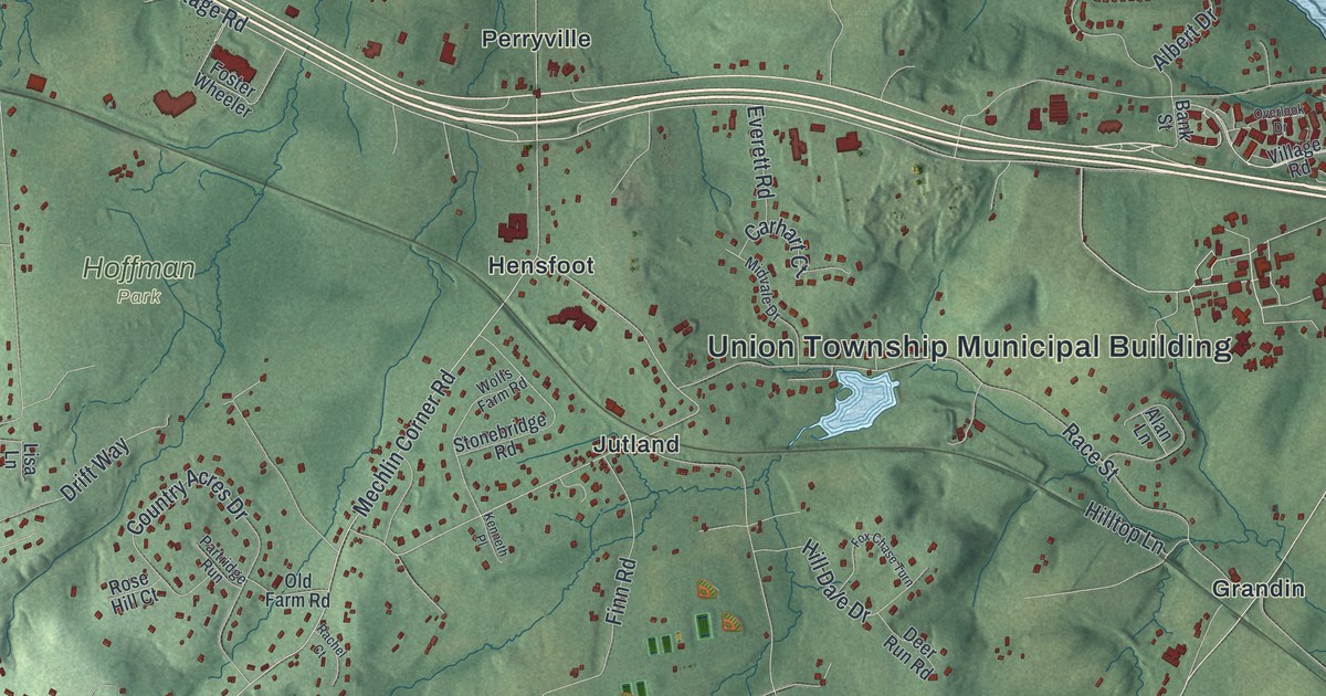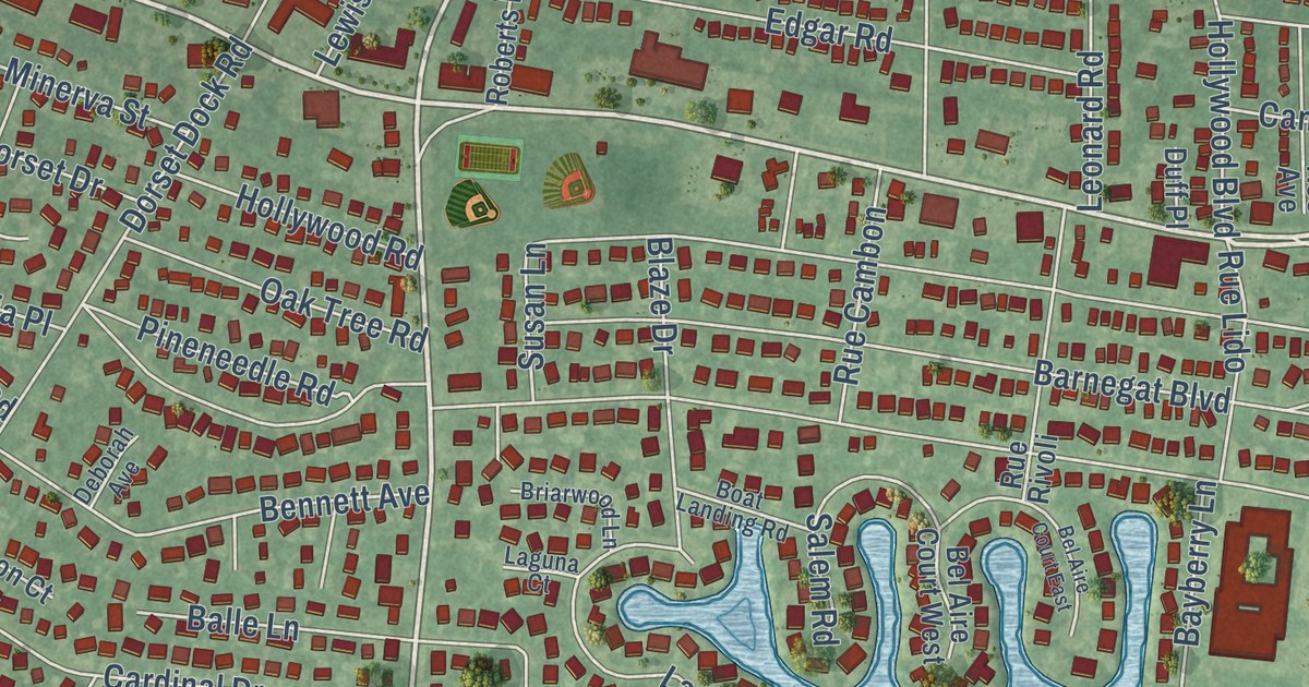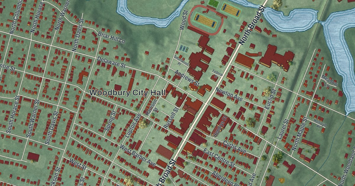
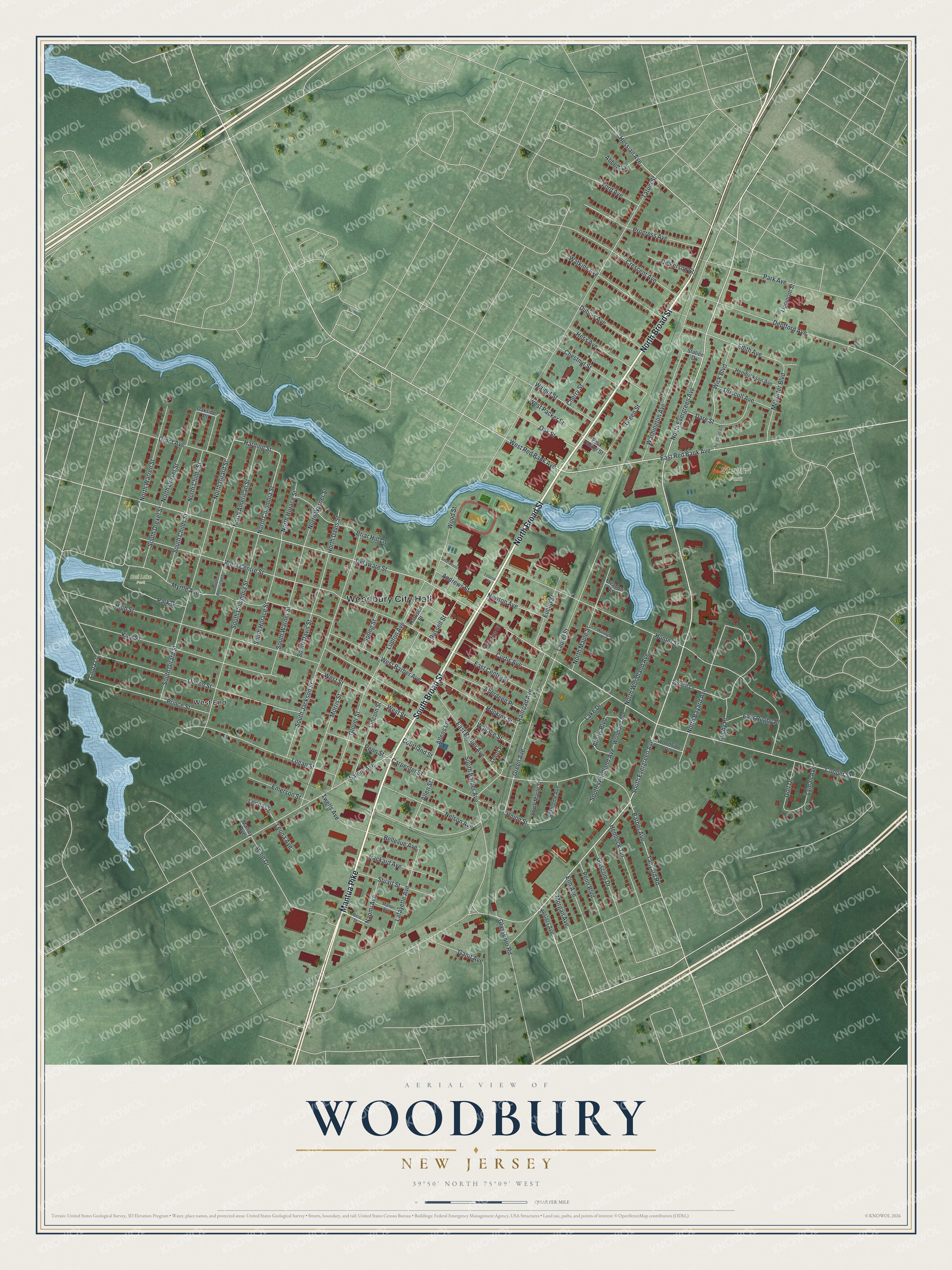
This beautifully detailed map of Woodbury, New Jersey was created in 2026 using aerial imagery combined with modern topographical, census, street and landmark data. It’s a one-of-a-kind view of Woodbury that combines accurate data with a vintage aesthetic. The map shows every building in its true location, many of the roads carry their names, and the shaded topographic relief shows the shape of the land.
Explore an aerial view of Woodbury, New Jersey
On the map you’ll find Woodbury City Hall, West End, Stewart Park, and Bell Lake Park, along with Mantua Pike, Broad Street, Evergreen Avenue, Harding Street, and more. If you look closely you can even find your house accurately drawn in its correct location. Zoom in on the preview to look for yours.
Did You Know?
Henry Wood founded Woodbury in 1683. He was a Quaker who had been jailed in Lancaster, England, for his faith. He sailed from his home near Bury to build a community where his family could worship freely. The city name joins his surname with his hometown.
Take a closer look at the Woodbury map
Names on this map
These names are printed on this map.
Places: Woodbury City Hall, Stewart Park, Bell Lake Park and West End.
Streets and roads: Mantua Pike, South Broad Street, North Broad Street, North Evergreen Avenue, South Evergreen Avenue, Harding Street, East Red Bank Avenue, North Girard Street, North Columbia Street, Green Avenue, North Bayard Avenue, Union Street.
More street names, A to Z
Abbett Lane, Aberdeen Place, Acme Drive, Allens Boulevard, Allens Lane, Allen Street, Andrews Street, Barber Avenue, Bellevue Avenue, Briar Hill Lane, Burholme Avenue, Carpenter Street, Cherry Street, Chestnut Street, Cooper Street, Courtland Street, Crescent Avenue, Curtis Avenue, Dare Street, Delaware Street, Deptford Avenue, Dickerson Street, Driscoll Avenue, Dubois Avenue, East Barber Avenue, East Centre Street, East Packer Street, East Rugby Place, Edith Avenue, Elm Avenue, Emerson Street, Euclid Street, Federal Street, Ford Avenue, Gantt Avenue, Glassboro Road, Glover Street, Golf Drive, Grant Avenue, Green Street, Griscom Drive, Harrison Street, Hemlock Terrace, Hendrickson Avenue, Hendrys Court, Hess Avenue, Hessian Avenue, Hesters Avenue, High Street, Holroyd Place, Hopkins Street, Hunter Street, King Street, Lafayette Avenue, Lake Drive, Laurel Street, Leeds Place, Leona Avenue, Leona Court, Lincoln Street, Linda Lane, Lippincott Street, Logan Street, Lupton Avenue, Lyman Avenue, Mahley Avenue, Manor Avenue, Meadow Lane, Mehorter Boulevard, Morgan Avenue, Morris Street, Myrtle Avenue, Naomi Avenue, Nelson Avenue, Newton Avenue, North American Street, North Childs Street, North Davis Street, North Drexel Street, North Horace Street, North Maple Street, North Warner Street, North Warren Street, North Woodland Avenue, Oakside Place, Oak Street, Packard Avenue, Park Avenue, Park Drive, Penn Boulevard, Penn Street, Prince Street, Progress Avenue, Queen Street, Railroad Avenue, Reid Street, Roosevelt Avenue, Rugby Place, Russell Street, Salem Avenue, Smallwood Place, South American Street, South Barber Avenue, South Childs Street, South Columbia Street, South Davis Street, South Drexel Street, South Girard Street, South Horace Street, South Jackson Street, South Maple Street, South Warner Street, South Woodland Avenue, Spring Street, Spruce Lane, Station Drive, Stuart Street, Tanyard Road, Tatum Street, Twells Avenue, Wallace Street, Walnut Street, Washington Avenue, Watkins Avenue, West Barber Avenue, West Centre Street, West Packer Street, West Red Bank Avenue, West Street, Wick Boulevard, Woodland Avenue, Woodside Place, Wood Street.
See it on a wall
The Woodbury map as an 18 x 24 inch print in a black frame.

This beautifully detailed map of Woodbury makes an attractive addition to your office, library, or den, and it can even be used to teach children the geography and history of the area. It also makes a great gift for anyone with Woodbury roots. When you’re done exploring, click here to get your copy of the Woodbury map.