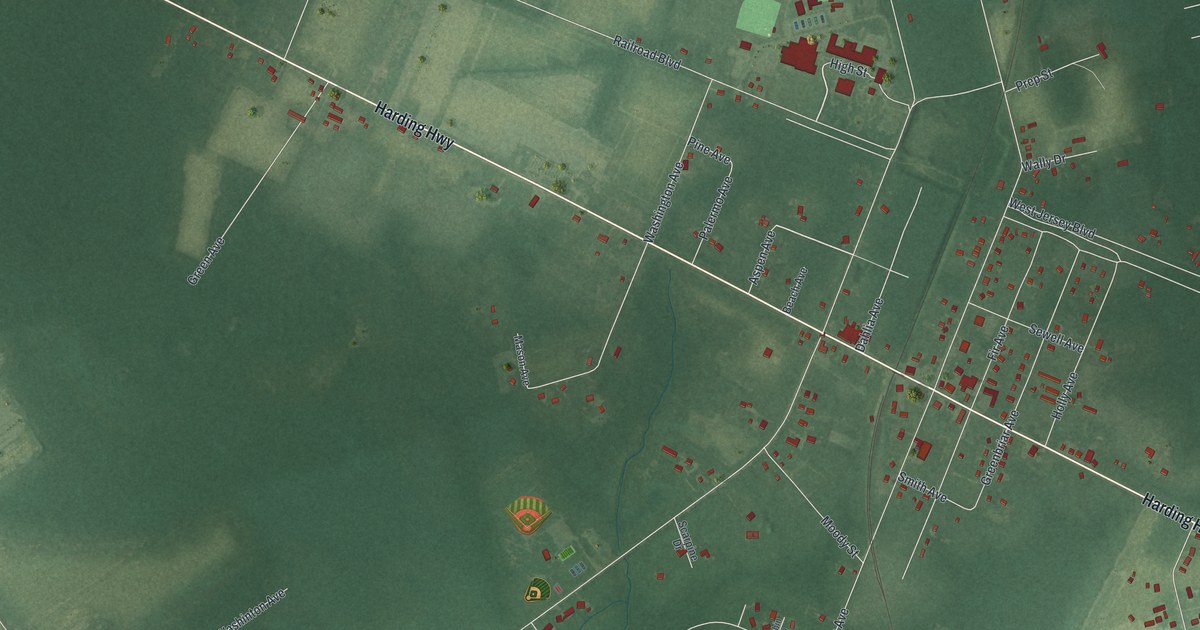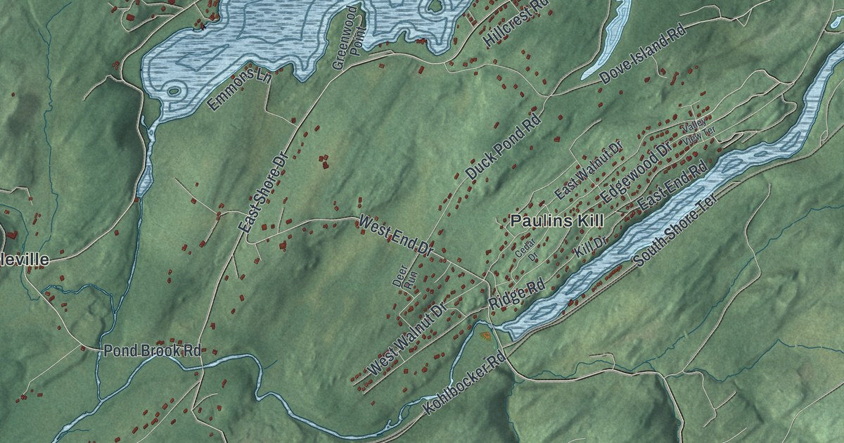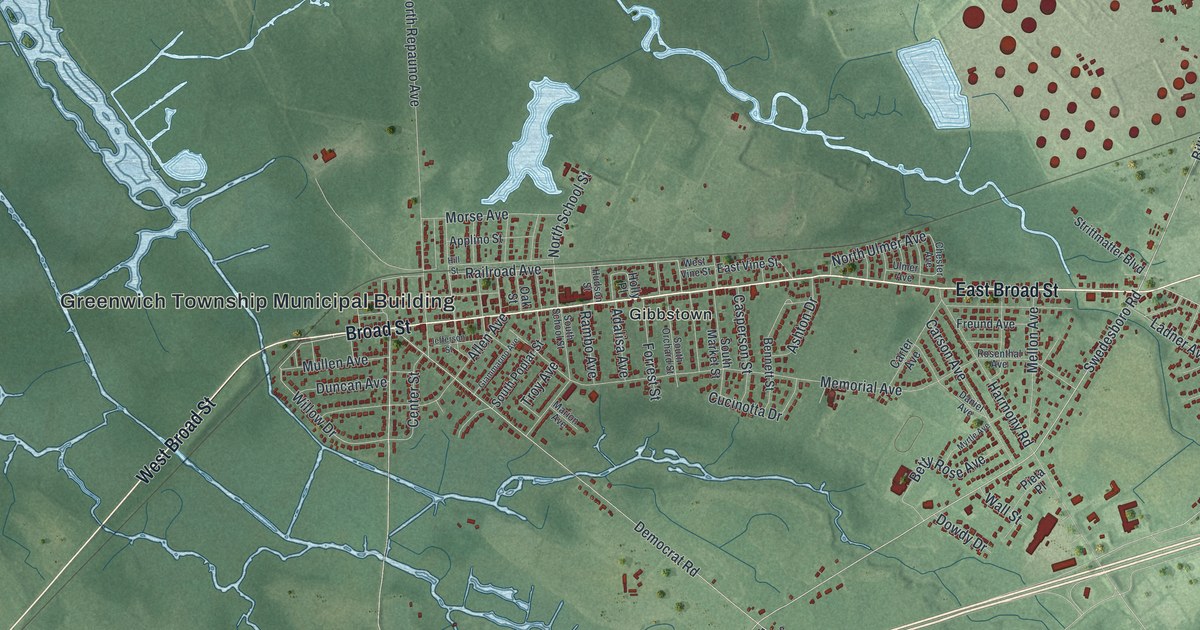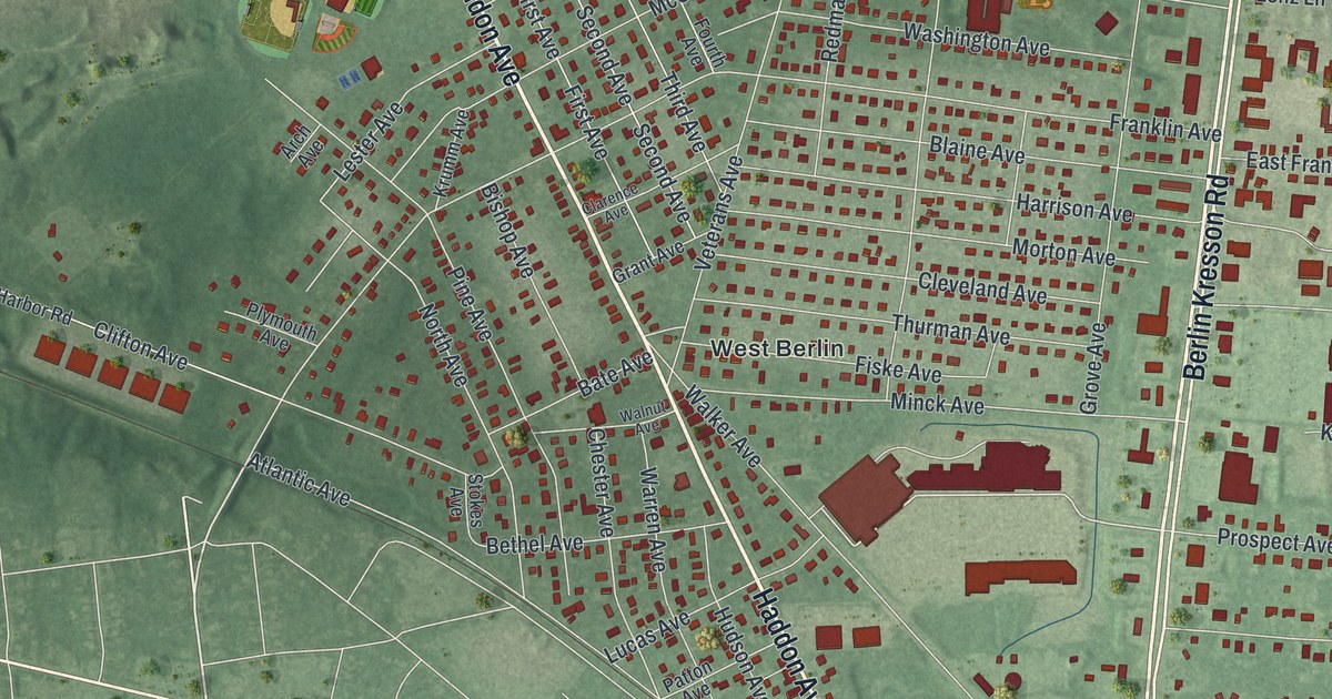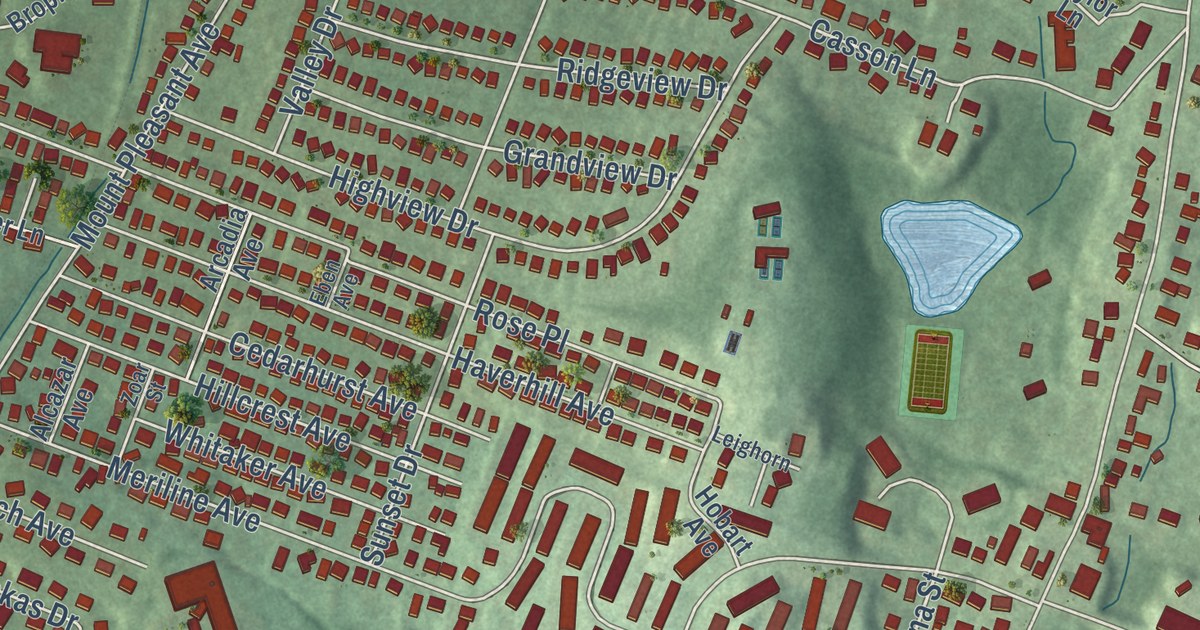
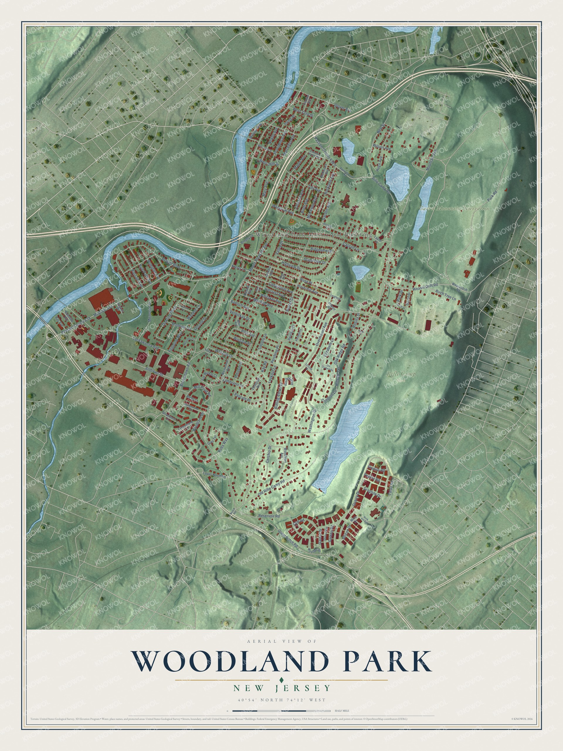
This beautifully detailed map of Woodland Park, New Jersey was created in 2026 using aerial imagery combined with modern topographical, census, street and landmark data. It’s a one-of-a-kind view of Woodland Park that combines accurate data with a vintage aesthetic. The map shows every building in its true location, many of the roads carry their names, and the shaded topographic relief shows the shape of the land.
Explore an aerial view of Woodland Park, New Jersey
On the map you’ll find Woodland Park Municipal Building, along with Park Road, Rolling Views Drive, Rosina Street, Rifle Camp Road, and more. If you look closely you can even find your house accurately drawn in its correct location. Zoom in on the preview to look for yours.
Did You Know?
The borough was formed in 1914 from part of Little Falls township, under the name West Paterson. Nearly a century later, in 2008, its citizens voted to drop that name. They chose to call their borough Woodland Park instead.
Take a closer look at the Woodland Park map
Names on this map
These names are printed on this map.
Places: Woodland Park Municipal Building, Garret Mountain Reservation and Rifle Camp Park.
Streets and roads: Park Road, Rolling Views Drive, Rosina Street, Rifle Camp Road, McBride Avenue, Passaic County 639, Lackawanna Avenue, Mount Pleasant Avenue, Overmount Avenue, Quarry Drive, Browertown Road, Bergen Boulevard.
More street names, A to Z
Alcazar Avenue, Alexandria Court, Andrews Drive, Arcadia Avenue, Bartsch Avenue, Birch Tree Lane, Bolds Lane, Borrego Drive, Boulder Drive, Briarwood Court, Brophy Lane, Bush Avenue, Casson Lane, Cedarhurst Avenue, Cedarwood Terrace, Cerchio Drive, Chestnut Grove Avenue, Cliff Road, Cliffside Drive, Condron Lane, Dowling Parkway, Eben Avenue, Elizabeth Lane, Filippone Way, Fritz Lane, Galena Road, Garden Avenue, Garnet Drive, Garret Drive, Glover Avenue, Grandview Drive, Granite Road, Graphite Drive, Great Notch Road, Grey Terrace, Harrison Court, Haverhill Avenue, Hazel Street, Highview Drive, Hillcrest Avenue, Hillside Terrace, Hobart Avenue, Hromiak Terrace, Hughes Place, Hugo Avenue, Irving Place, Jackson Avenue, Kay Road, Leighorn, Lincoln Lane, Lookout Lane, Lower Notch Road, Lozrovich Place, Maple Avenue, Marcellus Avenue, Mary Avenue, McKeown Avenue, McKewon Avenue, Memorial Drive, Meriline Avenue, Mica Drive, Miller Avenue, Mill Pond Road, Mountain Avenue, Mulrooney Circle, Neeser Lane, Newby Avenue, New Street, Notch Road, Oak Ridge Road, Old Orchard Road, Old Rifle Camp Road, Park Drive, Pascale Place, Passaic Avenue, Passaic County 636 II, Pebble Road, Pershing Place, Pitts Avenue, Pompton Avenue, Providence Avenue, Quartz Way, Radcliffe Avenue, Ray Avenue, Reservoir Road, Ridgeview Drive, Robinson Drive, Robs Way, Rock Hill Avenue, Rockland Avenue, Rose Place, Ryle Park Avenue, Silicon Drive, South Drive, Squirrelwood Road, Sunset Drive, Taft Avenue, Talus Road, Taylor Lane, Terrace Avenue, Valley Drive, Van Winkle Court, Verbickas Drive, Vetrone Drive, Wallace Lane, Washington Drive, Weasel Drift Road, Weaseldrift Road, Wedgewood Drive, West 32nd Street, West 35th Street, West 36th Street, Westerholt Avenue, Whitaker Avenue, Williams Drive, Willow Way, Wilson Avenue, Winding Way, Winslow Place, Woodland Drive, Woodlawn Avenue, Woodrow Avenue, Zambrano Drive, Zendzian Avenue, Zoar Street.
See it on a wall
The Woodland Park map as an 18 x 24 inch print in a black frame.

This beautifully detailed map of Woodland Park makes an attractive addition to your office, library, or den, and it can even be used to teach children the geography and history of the area. It also makes a great gift for someone who left Woodland Park and still calls it home. When you’re done exploring, click here to get your copy of the Woodland Park map.