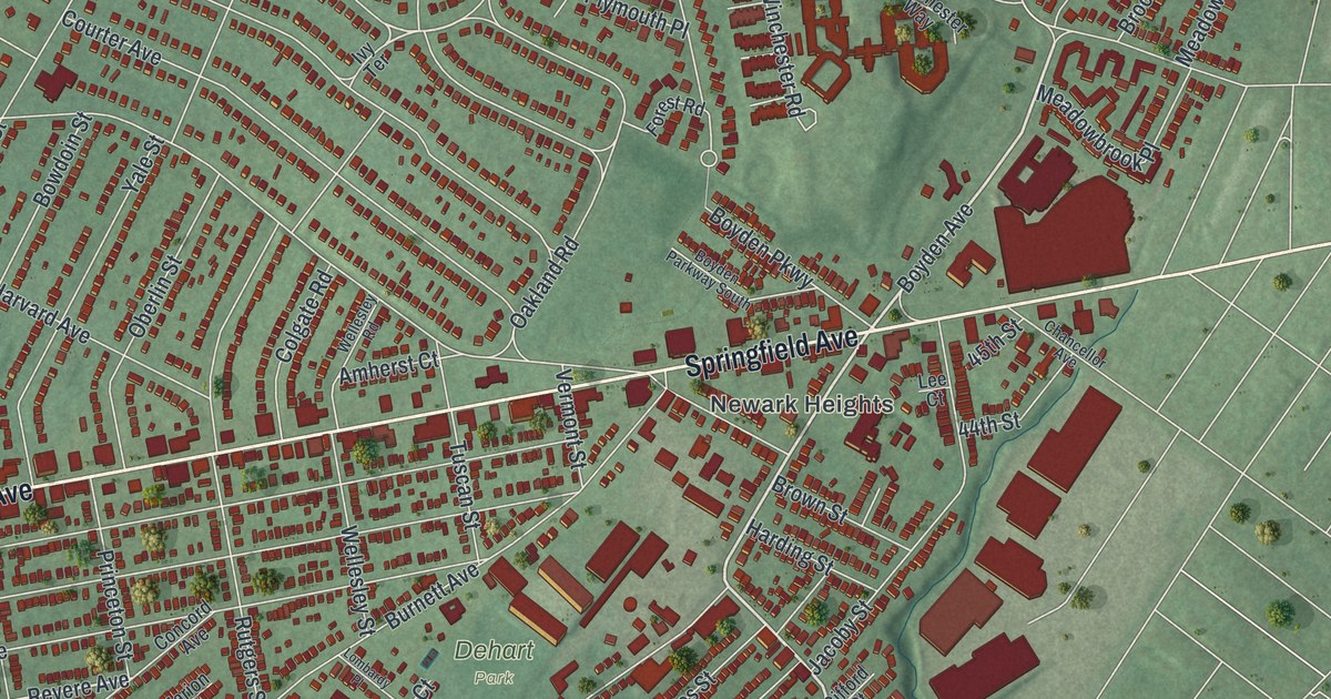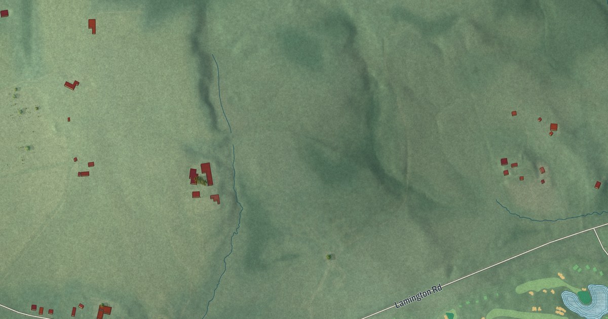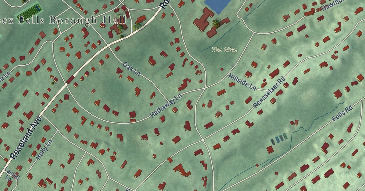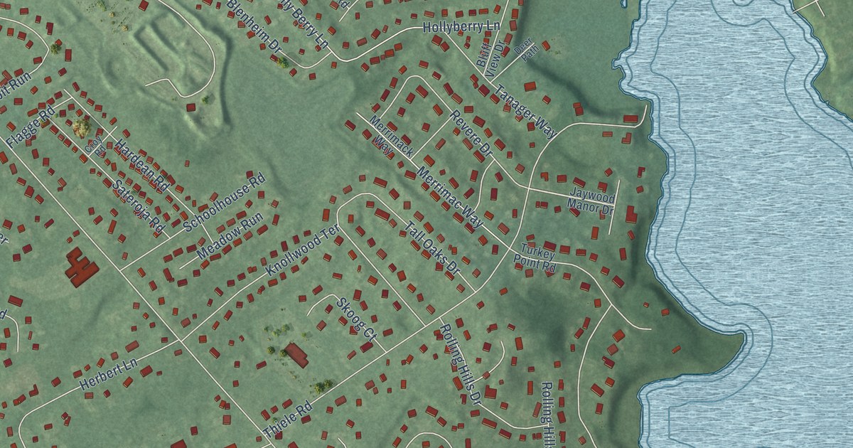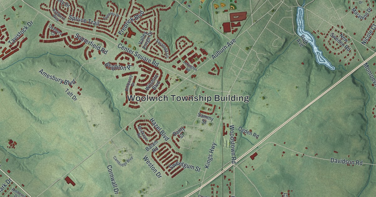
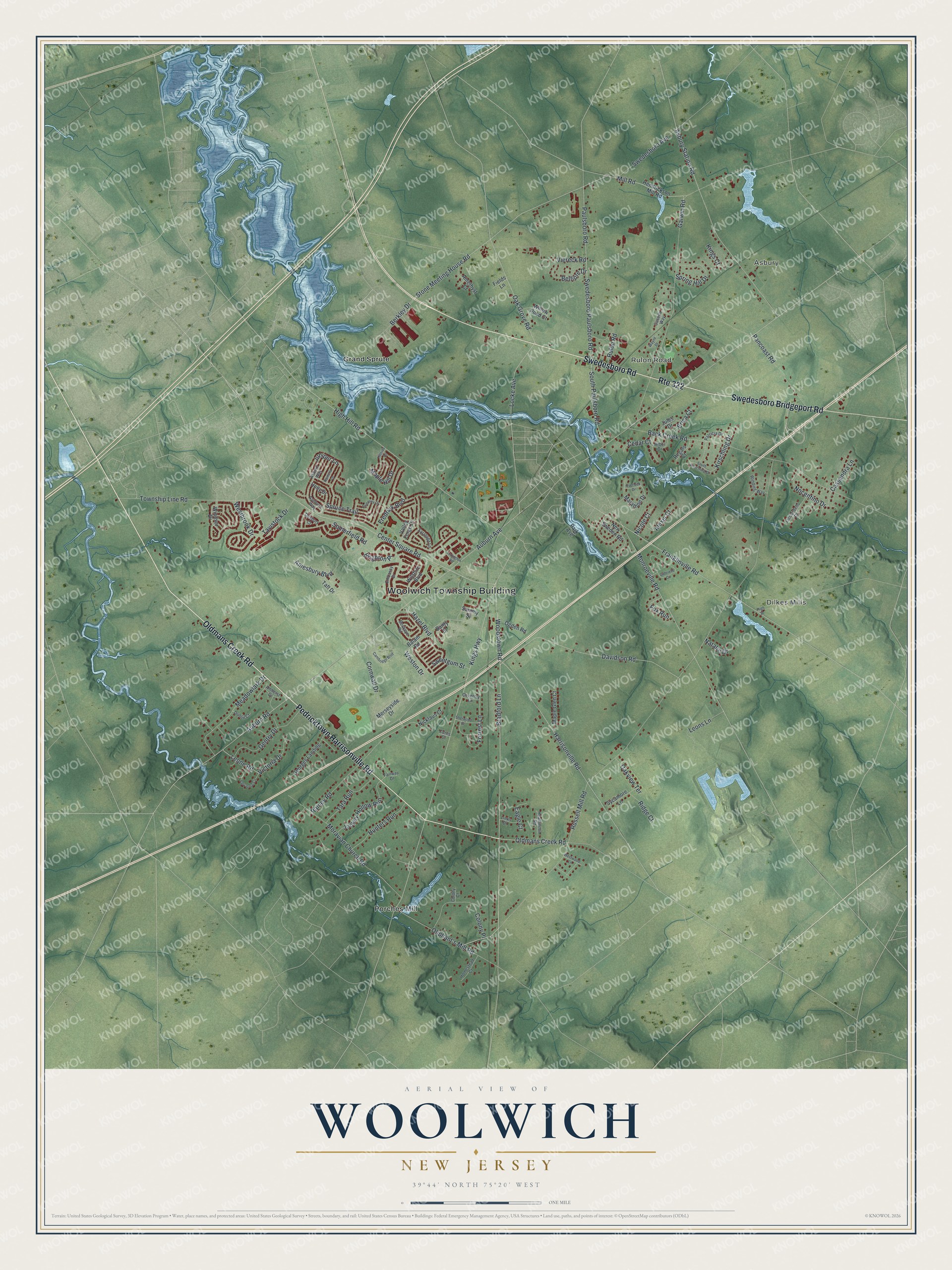
This beautifully detailed map of Woolwich, New Jersey was created in 2026 using aerial imagery combined with modern topographical, census, street and landmark data. It’s a one-of-a-kind view of Woolwich that combines accurate data with a vintage aesthetic. The map shows every building in its true location, many of the roads carry their names, and the shaded topographic relief shows the shape of the land.
Explore an aerial view of Woolwich, New Jersey
On the map you’ll find Woolwich Township Building, Asbury, Dilkes Mills, Grand Sprute, and Porches Mill, along with Swedesboro Bridgeport Road, Pedricktown Harrisonville Road, Swedesboro Road, Oldmans Creek Road, Rulon Road, and more. If you look closely you can even find your house accurately drawn in its correct location. Zoom in on the preview to look for yours.
Did You Know?
Mount Zion African Methodist Episcopal Church was built in Woolwich in 1834. The church played an important part in the Underground Railroad in South Jersey. In 2001 the church and its cemetery joined the National Register of Historic Places.
Take a closer look at the Woolwich map
Names on this map
These names are printed on this map.
Places: Woolwich Township Building, Asbury, Dilkes Mills, Rulon Road, Grand Sprute and Porches Mill.
Streets and roads: Swedesboro Bridgeport Road, Pedricktown Harrisonville Road, Swedesboro Road, Oldmans Creek Road, Route 322, Center Square Road, Swedesboro Paulsboro Road, Stone Meeting House Road, Mill Road, Berkley Drive, Hazel Boulevard, Russell Mill Road.
More street names, A to Z
Alexis Court, Amesbury Boulevard, Amethyst Court, Amherst Drive, Arbor Drive, Asburn Way, Asbury Station Road, Ashburn Way, Auburn Avenue, Auburn Road, Back Creek Road, Balam Road, Banty Street, Belfiore Drive, Bradford Lane, Brighton Place, Buckeye Road, Cambridge Boulevard, Casella Way, Cassandra Lane, Cedar Court, Colony Court, Colony Place, Cornwall Drive, Coventry Lane, Curtis Court, Davidson Road, Dempsey Drive, Dunlin Court, Duxbury Court, Eagle Court, Embassy Drive, Erica Court, Fairway Drive, Fields Lane, Forrest Lane, Fox Run, Franklinville Road, Fredrick Boulevard, Gabrielle Circle, Garwin Road, Gentry Drive, Georges Landing, Harrisonville Road, Heatherton Road, Hendrickson Mill Road, High Hill Road, High Street, Hillside Drive, Holly Drive, Homestead Court, Hunters Run, Jockey Hollow Run, Jules Drive, Juniper Lane, Kings Court, Kings Highway, Kirschling Drive, Leone Road, Leons Lane, Lexington Road, Licciardello Drive, Links Drive, Locke Avenue, Maple Glen Court, Maple Hill Drive, Marathon Drive, Meadowlark Drive, Merseyside Drive, Monroeville Road, Moravian Church Road, Natalie Drive, New Sweden Road, Nicklaus Court, Nicole Court, Nocentino Drive, Oak Grove Road, Oakview Terrace, Ogden Road, Oliphant's Mill Road, Overlook Drive, Pancoast Road, Park Avenue, Patricia Drive, Paulsboro Road, Rainey Road, Ramona Lane, Regals Court, Ridge Court, Salvatore Circle, Sammy Street, Saratoga Lane, Sherwood Drive, Somerfield Road, South Kirschling Drive, South Paulsboro Road, Spring Hill Drive, Spruce Trail, Swedesboro Avenue, Sweetgum Street, Sycamore Lane, Taft Drive, Tara Run, Tavistock Drive, Township Line Road, Valley Forge Drive, Victoria Drive, Viereck Road, Wayne Drive, Westbrook Drive, Weston Drive, Westwood Lane, Willow Pond Court, Wilshire Boulevard, Winding Way, Windsor Drive, Woodstown Road.
See it on a wall
The Woolwich map as an 18 x 24 inch print in a black frame.

This beautifully detailed map of Woolwich makes an attractive addition to your office, library, or den, and it can even be used to teach children the geography and history of the area. It also makes a great gift for anyone with Woolwich roots. When you’re done exploring, click here to get your copy of the Woolwich map.