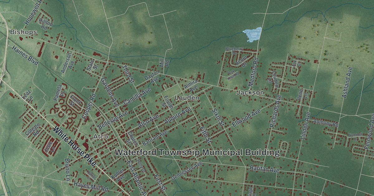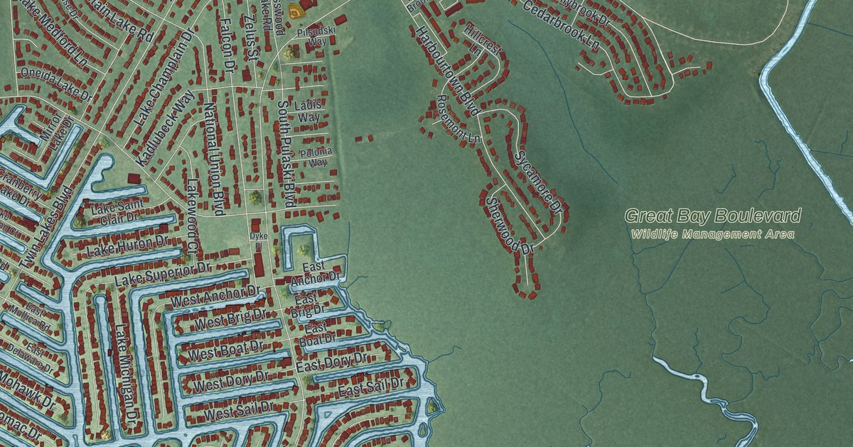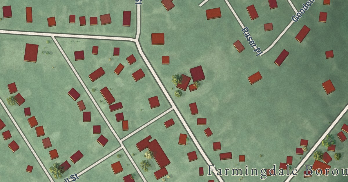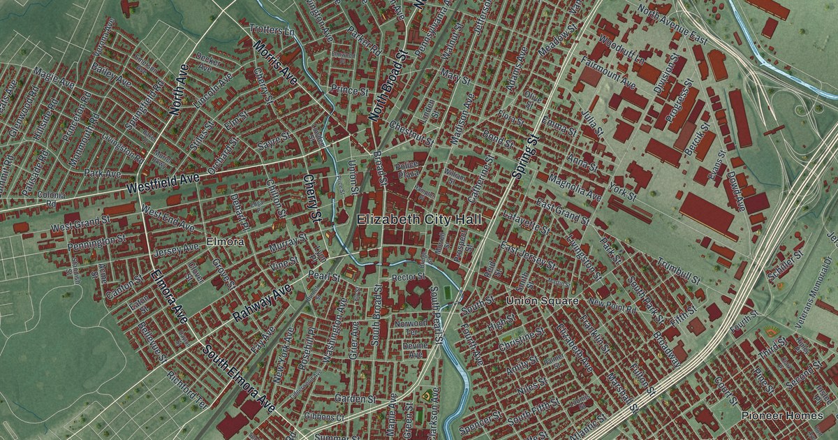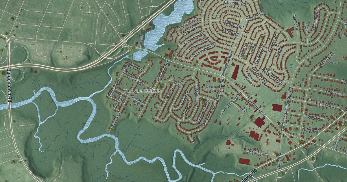
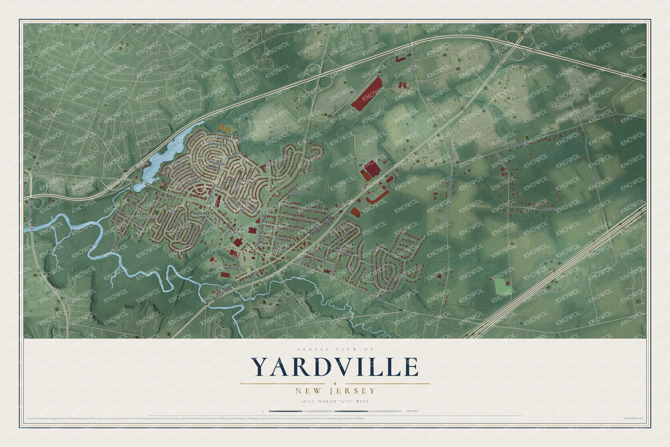
This beautifully detailed map of Yardville, New Jersey was created in 2026 using aerial imagery combined with modern topographical, census, street and landmark data. It’s a one-of-a-kind view of Yardville that combines accurate data with a vintage aesthetic. The map shows every building in its true location, many of the roads carry their names, and the shaded topographic relief shows the shape of the land.
Explore an aerial view of Yardville, New Jersey
On the map you’ll find Yardville Heights, along with Bordentown Road, Yardville Allentown Road, Elton Avenue, Broad Street, Edgebrook Road, and more. If you look closely you can even find your house accurately drawn in its correct location. Zoom in on the preview to look for yours.
Did You Know?
Yardville was once called Sand Hill. Passengers on the pioneer Camden and Amboy Railroad got off the train here. Stagecoaches then carried them on to Trenton. In 1850 the village was renamed to honor its first postmaster. That’s from the 1939 WPA guide to New Jersey.
Take a closer look at the Yardville map
Names on this map
These names are printed on this map.
Places: Yardville Heights.
Streets and roads: Bordentown Road, Yardville Allentown Road, Elton Avenue, South Broad Street, Edgebrook Road, Uncle Pete's Road, Yardville Hamilton Squ Road, Crosswicks Hamilton Square Road, Cabot Drive, Argonne Avenue, Sunnybrae Boulevard, Winding Way.
More street names, A to Z
Althea Avenue, Amsterdam Road, Apollo Drive, Arlington Avenue, Bear Court, Beaumont Road, Bonnie Rae Drive, Bruno Crescent, Buck Road, Carlisle Avenue, Church Street, Clarendon Avenue, Claude Road, Coleridge Avenue, Colts Neck Terrace, Dailey Drive, Dan Road, Darien Court, Doe Drive, Dover Road, Edgemont Road, Elkshead Terrace, Falmouth Road, Fawn Lane, Fenway Road, Fox Lane, Frederick Avenue, Gerard Road, Grandview Avenue, Hastings Road, Hauser Avenue, Highland Avenue, Intervale Road, Iorio Drive, Joe Dimaggio Drive, John Court, Kay Road, Kim Valley Road, Klockner Road, Lakeside Boulevard, Lakeview Court, Lakeview Drive, Lenox Avenue, Locust Avenue, Mae Drive, Maitland Road, Manor Boulevard, Martins Lane, Melody Court, Merrick Road, Middleton Drive, Murray Avenue, O'Rourke Drive, Oak Lane, Olszak Court, Ovington Drive, Papps Drive, Prospect Avenue, Rock Royal Road, Scullin Drive, Senf Drive, Soden Drive, Springdale Avenue, Timber Wolf Drive, Toby Lane, Valley View Road, Van Kannel Avenue, Village Drive East, Village Road West, Villa Place, Waln Avenue, Wharian Court, White Stag Drive, Woodside Avenue.
See it on a wall
The Yardville map as an 18 x 24 inch print in a black frame.

This beautifully detailed map of Yardville makes an attractive addition to your office, library, or den, and it can even be used to teach children the geography and history of the area. It also makes a great gift for anyone who grew up in Yardville or moved away. When you’re done exploring, click here to get your copy of the Yardville map.