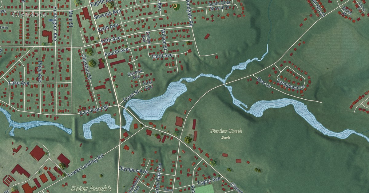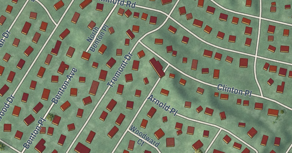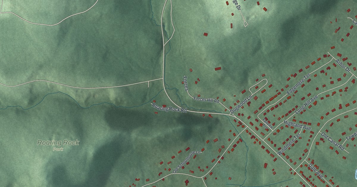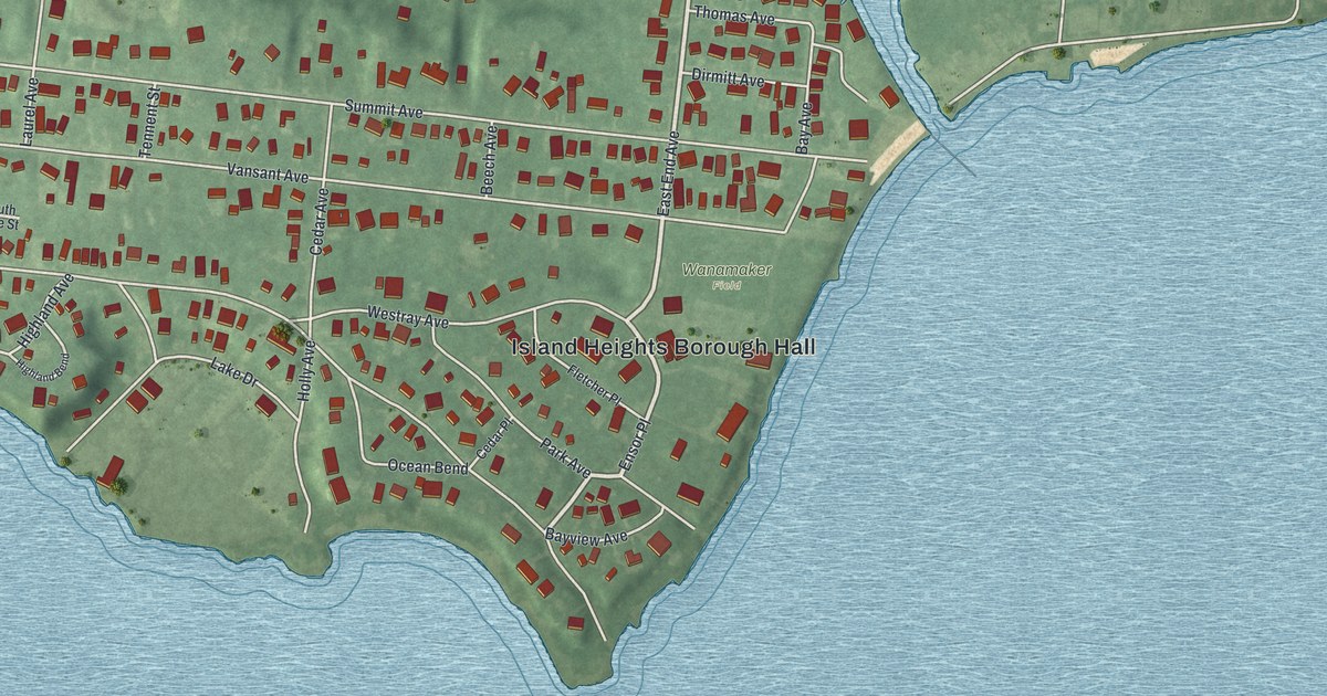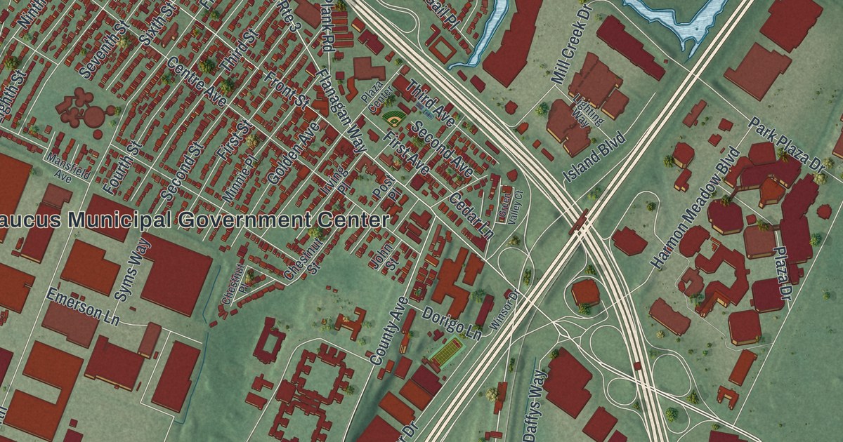
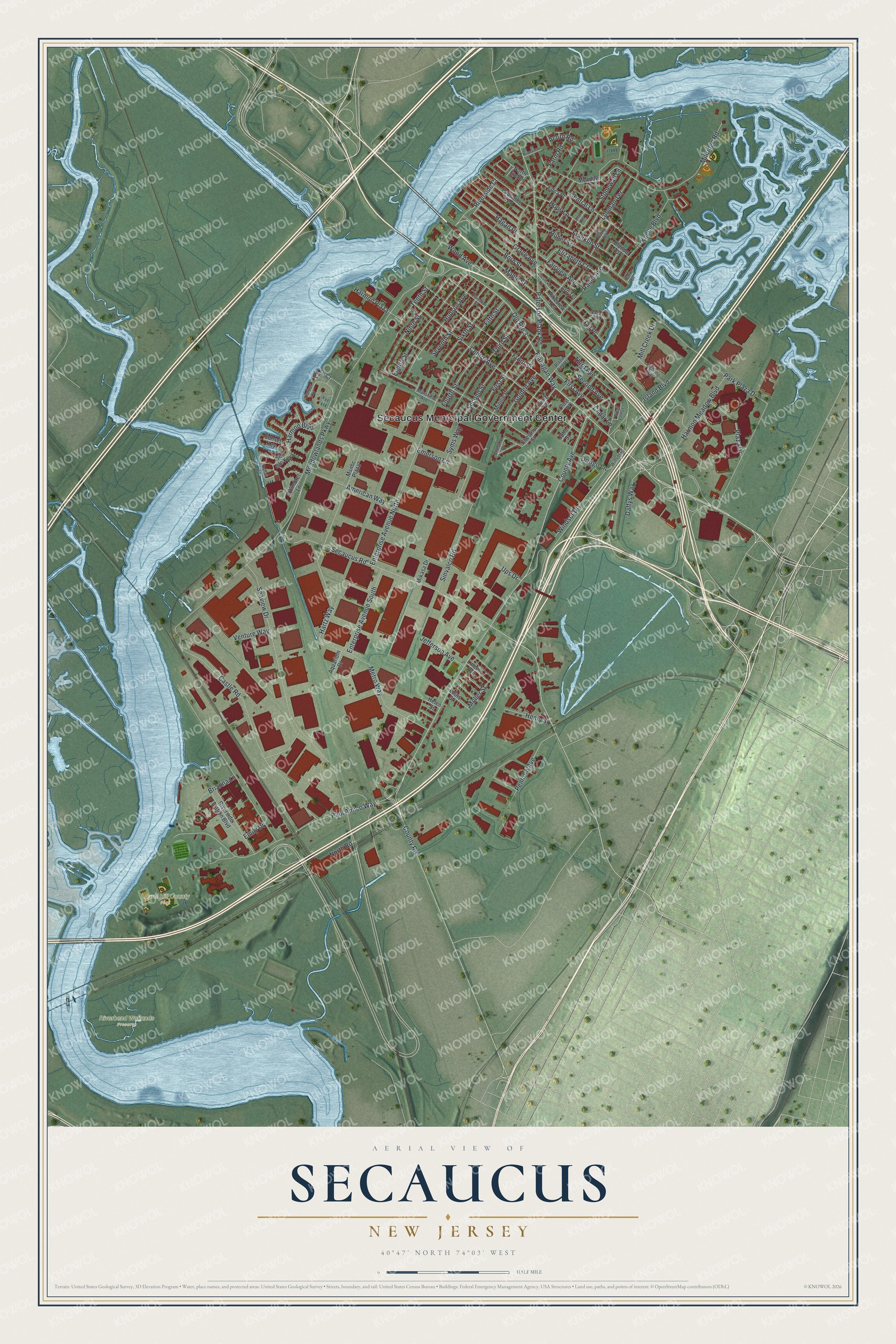
This beautifully detailed map of Secaucus, New Jersey was created in 2026 using aerial imagery combined with modern topographical, census, street and landmark data. It’s a one-of-a-kind view of Secaucus that combines accurate data with a vintage aesthetic. The map shows every building in its true location, many of the roads carry their names, and the shaded topographic relief shows the shape of the land.
Explore an aerial view of Secaucus, New Jersey
On the map you’ll find Secaucus Municipal Government Center, Laurel Hill County Park, and Riverbend Wetlands Preserve, along with Paterson Plank Road, Secaucus Road, Flanagan Way, Seaview Drive, and more. If you look closely you can even find your house accurately drawn in its correct location. Zoom in on the preview to look for yours.
Did You Know?
Secaucus began as a farm town known for its flowers. In the early 1900s it held about 55 pig farms. During World War II the pigs numbered nearly 250,000 and outnumbered people 16 to 1. The farms fed Newark and New York, and the last ones closed by court order in the late 1950s.
Take a closer look at the Secaucus map
Names on this map
These names are printed on this map.
Places: Secaucus Municipal Government Center, Laurel Hill County Park and Riverbend Wetlands Preserve.
Streets and roads: Paterson Plank Road, County Road, Secaucus Road, Flanagan Way, Old Route 3, Seaview Drive, Tenth Street, Meadowlands Parkway, Harmon Boulevard, Ninth Street, County Avenue, Park Plaza Drive.
More street names, A to Z
Acorn Road, Allan Terrace, American Way, Aquarium Drive, Arn Terrace, Blondel Drive, Born Street, Brianna Lane, Castle Road, Cedar Lane, Central Lane, Centre Avenue, Chestnut Place, Chestnut Street, Clarendon Street, Cove Court, Daffys Way, Dorigo Lane, Edna Place, Eighth Street, Elizabeth Court, Emerson Lane, Emily Drive, Enterprise Avenue North, Enterprise Avenue South, Fairview Avenue, Farm Road, Fifth Street, First Avenue, First Street, Fourth Street, Franklin Street, Front Street, Gail Place, Garry Terrace, Golden Avenue, Grace Avenue, Green Valley Court, Hagan Place, Harbor Ky, Harmon Meadow Boulevard, Harmon Plaza, Hartz Way, Helen Street, Henry Street, Hops Lane, Huber Street, Hudson Avenue, Irving Place, Island Boulevard, Jefferson Avenue, John Street, Koelle Boulevard, Lausecker Lane, Lighting Way, Lincoln Avenue, Louis Street, Luhman Terrace, Mansfield Avenue, Maple Street, Meadow Lane, Metro Way, Mikasa Drive, Mill Creek Drive, Millridge Road, Minnie Place, Moller Street, Msnbc Plaza, North End Drive, North Road, Park Drive, Paul Amico Way, Paulanne Terrace, Penhorn Avenue, Pikeview Terrace, Plaza Center, Plaza Drive, Post Place, Radio Avenue, Riverside Court, Riverside Station Boulevard, Riverview Drive, Sea Isle Key, Second Avenue, Second Street, Seventh Street, Sinvalco Road, Sixth Street, Stonewall Lane, Sunset Key, Syms Way, Third Avenue, Third Street, Topsail Lane, Ups Drive, Valley Court, Venture Way, Whimbrel Lane, Windsor Drive, Winsor Drive, Wood Avenue.
See it on a wall
The Secaucus map as an 18 x 24 inch print in a black frame.

This beautifully detailed map of Secaucus makes an attractive addition to your office, library, or den, and it can even be used to teach children the geography and history of the area. It also makes a great gift for anyone who grew up in Secaucus or moved away. When you’re done exploring, click here to get your copy of the Secaucus map.