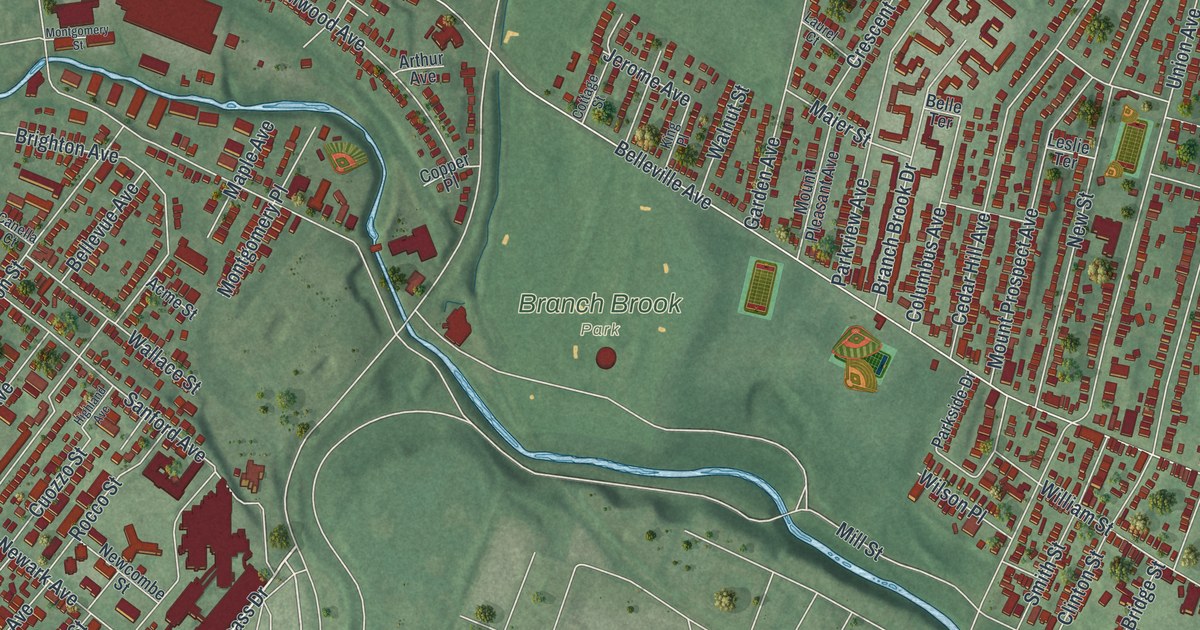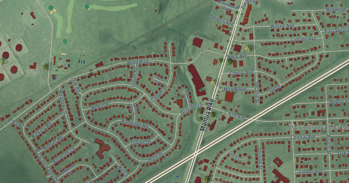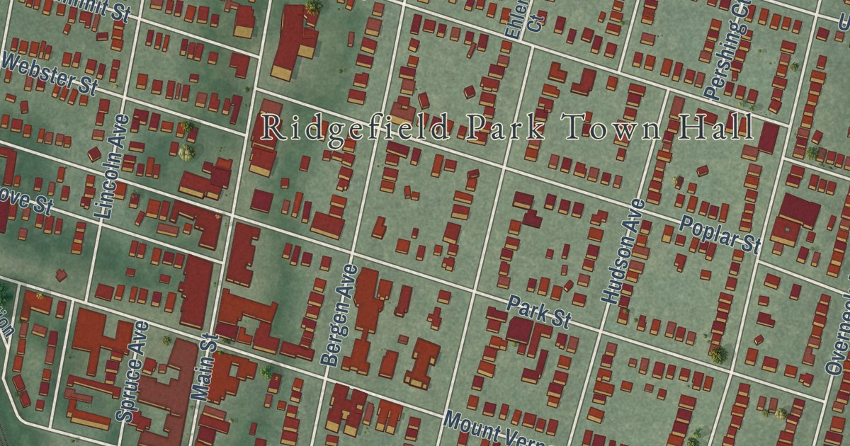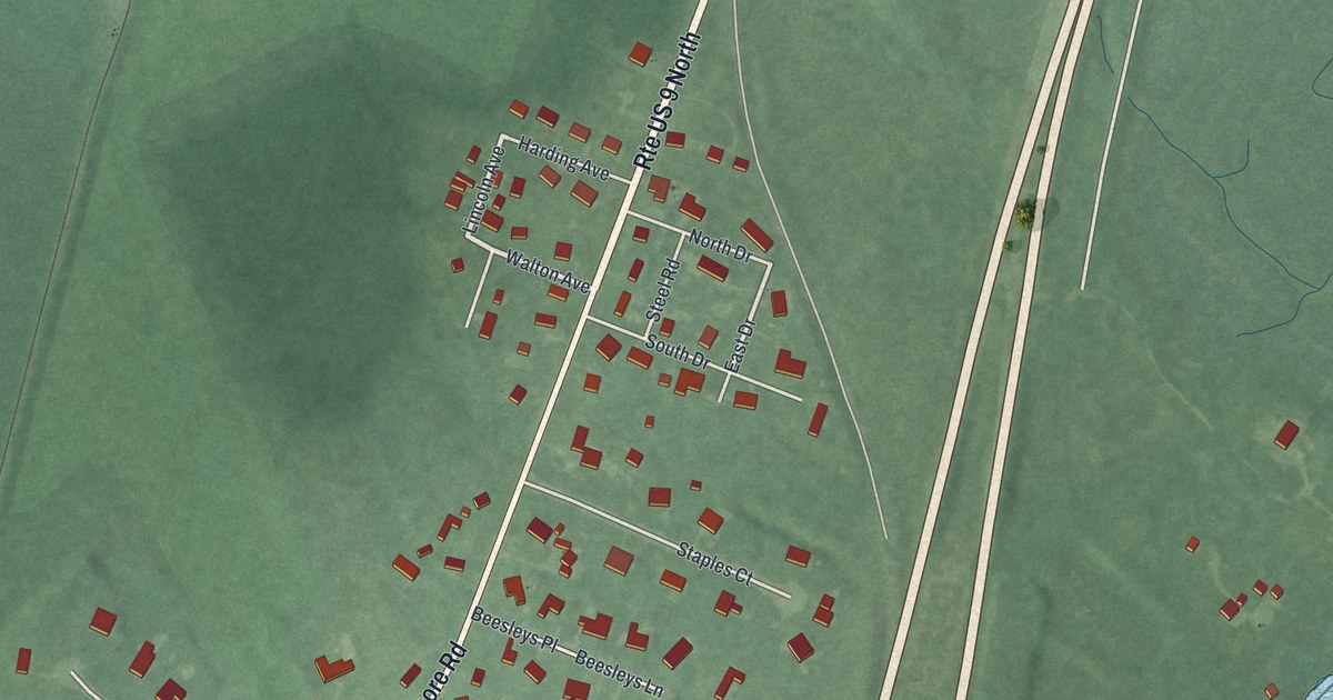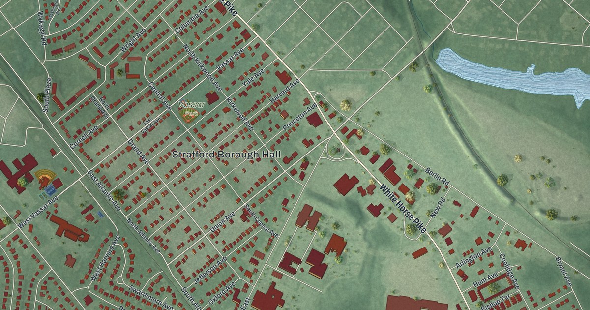
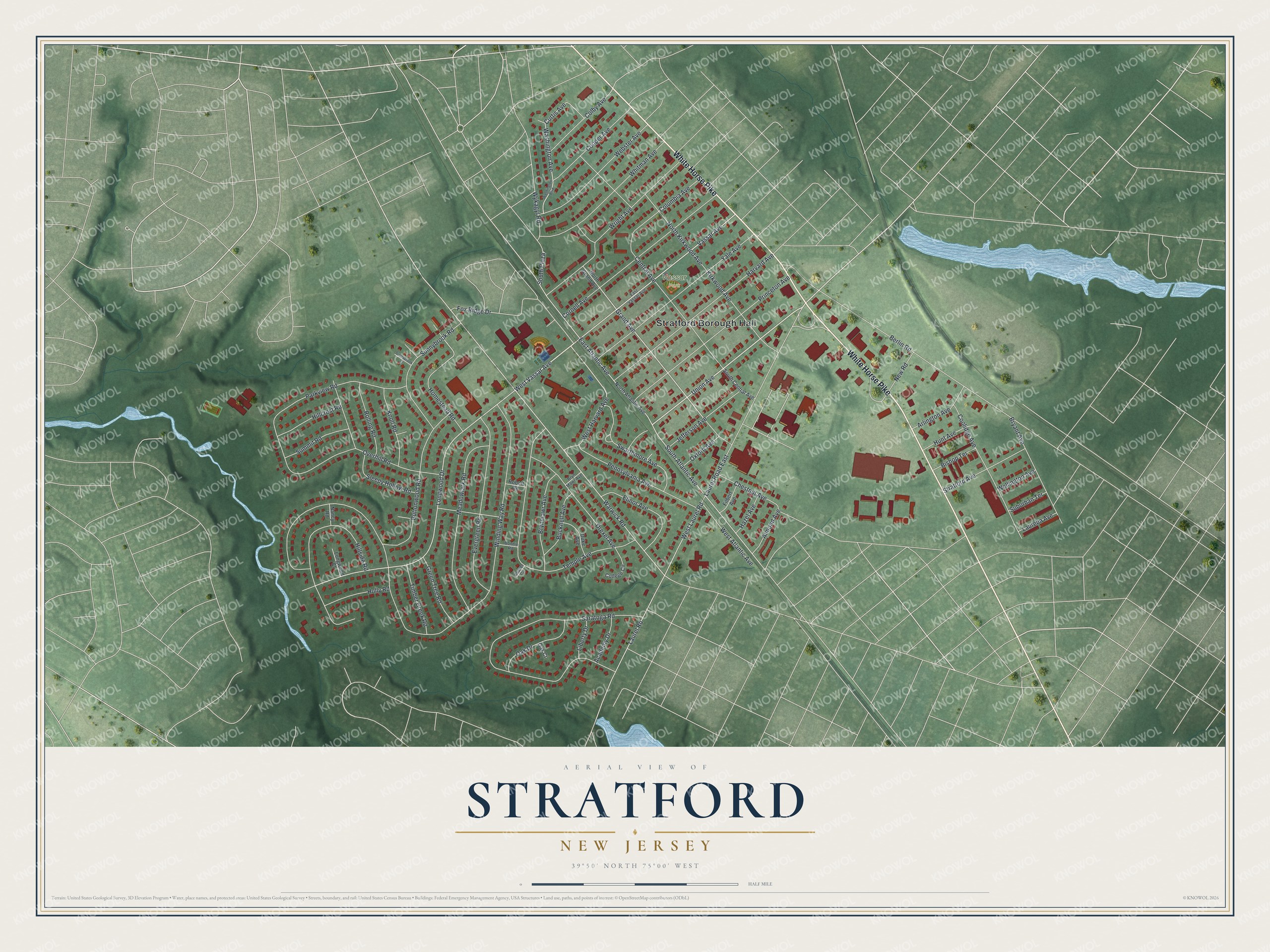
This beautifully detailed map of Stratford, New Jersey was created in 2026 using aerial imagery combined with modern topographical, census, street and landmark data. It’s a one-of-a-kind view of Stratford that combines accurate data with a vintage aesthetic. The map shows every building in its true location, many of the roads carry their names, and the shaded topographic relief shows the shape of the land.
Explore an aerial view of Stratford, New Jersey
On the map you’ll find Stratford Borough Hall and Vassar Park, along with White Horse Pike, Vassar Avenue, Union Avenue, Atlantic Avenue, and more. If you look closely you can even find your house accurately drawn in its correct location. Zoom in on the preview to look for yours.
Did You Know?
The White Horse Hotel in Stratford was built in the eighteenth century. It served as a stage stop, post office and town hall, and it gave its name to the White Horse Pike. The same family ran it as a hotel. Its original sign, a plain wooden board showing a white horse, still swung in the breeze. That’s from the 1939 WPA guide to New Jersey.
Take a closer look at the Stratford map
Names on this map
These names are printed on this map.
Places: Stratford Borough Hall and Vassar Park.
Streets and roads: White Horse Pike, West Vassar Avenue, Union Avenue, Vassar Avenue, West Atlantic Avenue, Grand Avenue, Warwick Road, Longwood Drive, South Atlantic Avenue, Winding Way Road, Curtis Avenue, Saratoga Road.
More street names, A to Z
Academy Drive, Almond Avenue, Arlington Avenue, Beaver Circle, Berlin Road, Bishop Terrace, Bonnie Road, Bryant Avenue, Brynmawr Avenue, Bryn Mawr Avenue, Bucknell Avenue, Buttonwood Road, Central Avenue, Chestnut Avenue, Colby Avenue, College Circle, Columbia Avenue, Coolidge Avenue, Cooper Avenue, Cornell Avenue, Drexel Avenue, Duke Avenue, East Atlantic Avenue, East Vassar Avenue, Elinor Avenue, Evergreen Road, Filbert Avenue, Fox Ridge Drive, Green Tree Road, Harvard Avenue, Hazel Avenue, Hillcrest Road, Hillside Road, Holly Road, Homestead Road, Hunt Avenue, Jefferson Avenue, Kirkwood Avenue, Knoll Road, Laureba Avenue, Laurel Road, Laurel Road East, Liberty Drive, Longwood Court, Meadowlark Road, Nancy Road, New Road, North Atlantic Avenue, North Grand Avenue, North Kirkwood Avenue, Oak Court, Oak Drive, Overhill Road, Oxford Avenue, Parkview Road, Pennsylvania Avenue, Princeton Avenue, Robert Road, Rolling Road, Sleepy Hollow Road, South Central Avenue, South Plaza, Stratford Avenue, Suburban Terrace, Summit Road, Sunnybrook Court, Sunnybrook Road, Swarthmore Avenue, Temple Avenue, Timber Creek Road, Washington Avenue, Washington Boulevard, Webster Avenue, Wellington Avenue, West Harvard Avenue, West Laurel Road, Whitman Avenue, Wright Avenue, Wykagyl Road, Yale Avenue.
See it on a wall
The Stratford map as an 18 x 24 inch print in a black frame.

This beautifully detailed map of Stratford makes an attractive addition to your office, library, or den, and it can even be used to teach children the geography and history of the area. It also makes a great gift for someone who left Stratford and still calls it home. When you’re done exploring, click here to get your copy of the Stratford map.