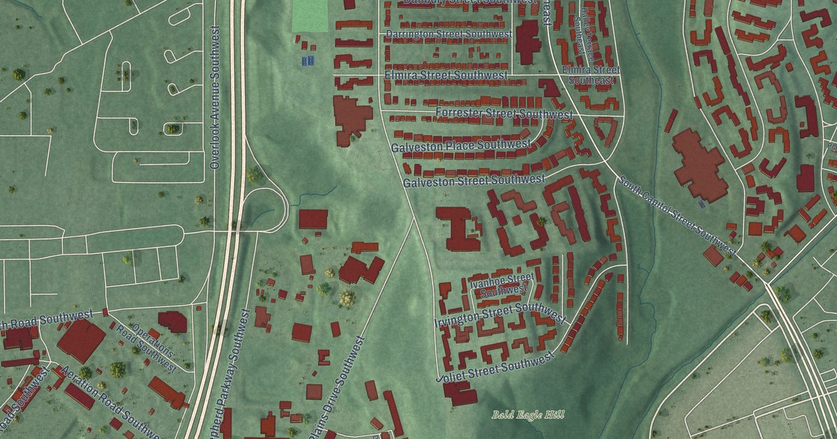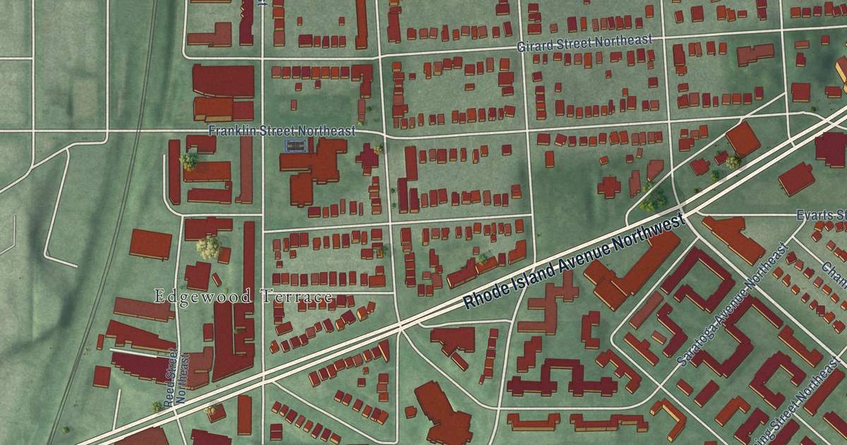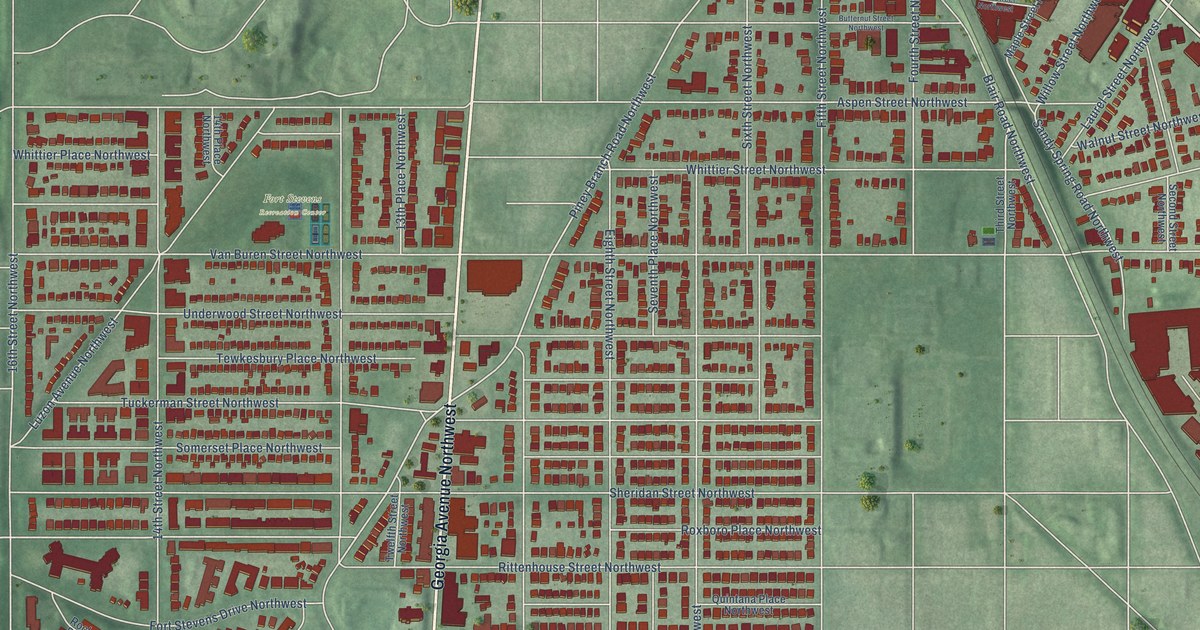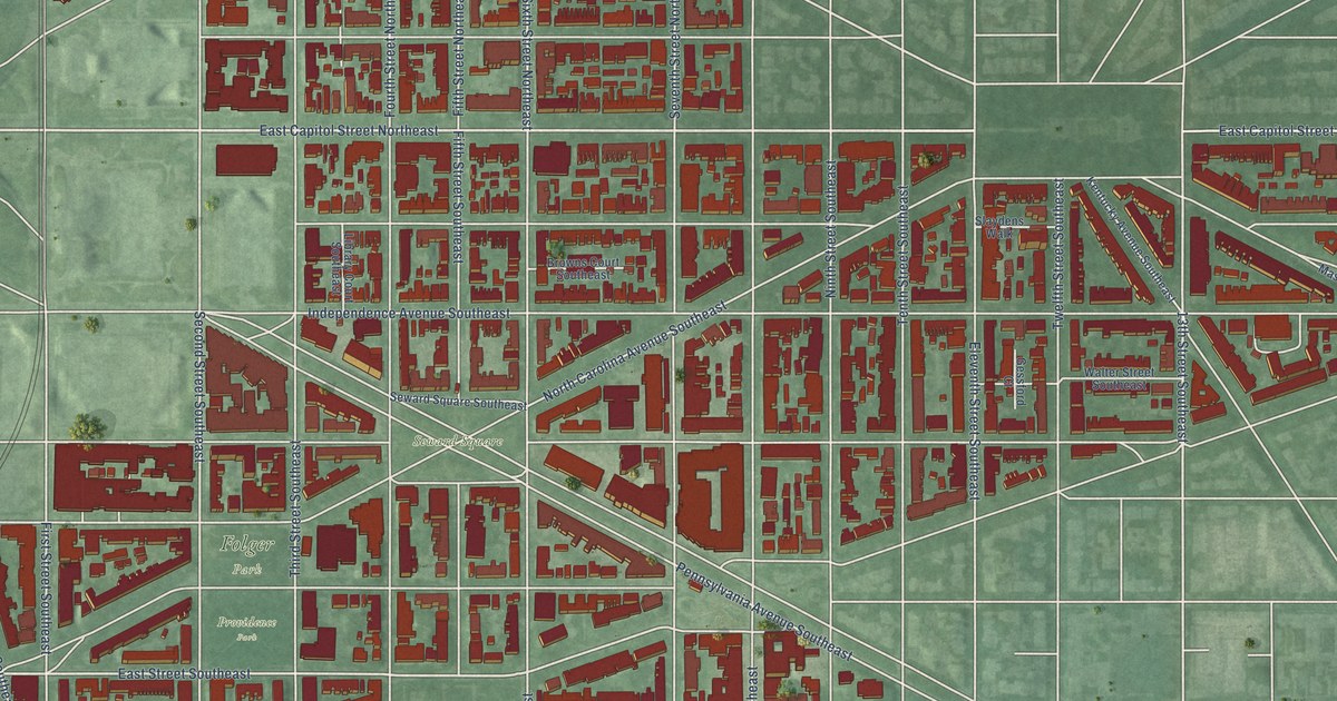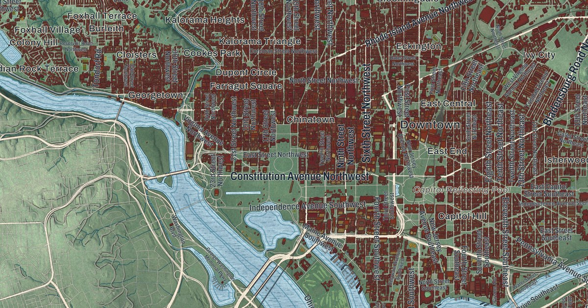
This beautifully detailed map of Washington, D.C. was created in 2026 using aerial imagery combined with modern topographical, census, street and landmark data. It’s a one-of-a-kind view of Washington that combines accurate data with a vintage aesthetic. The map shows every building in its true location, many of the roads carry their names, and the shaded topographic relief shows the shape of the land.
Explore an aerial view of Washington, D.C.
On the map you’ll find Downtown, Bald Eagle Hill, Bunker Hill, Burnham Barrier, Buzzard Point, Anacostia First High Reservoir, Capitol Reflecting Pool, Adams Morgan, American University Park, Anacostia, and Barnaby Woods, along with Barnaby Terrace, and more. If you look closely you can even find your house accurately drawn in its correct location. Zoom in on the preview to look for yours.
Take a closer look at the Washington map
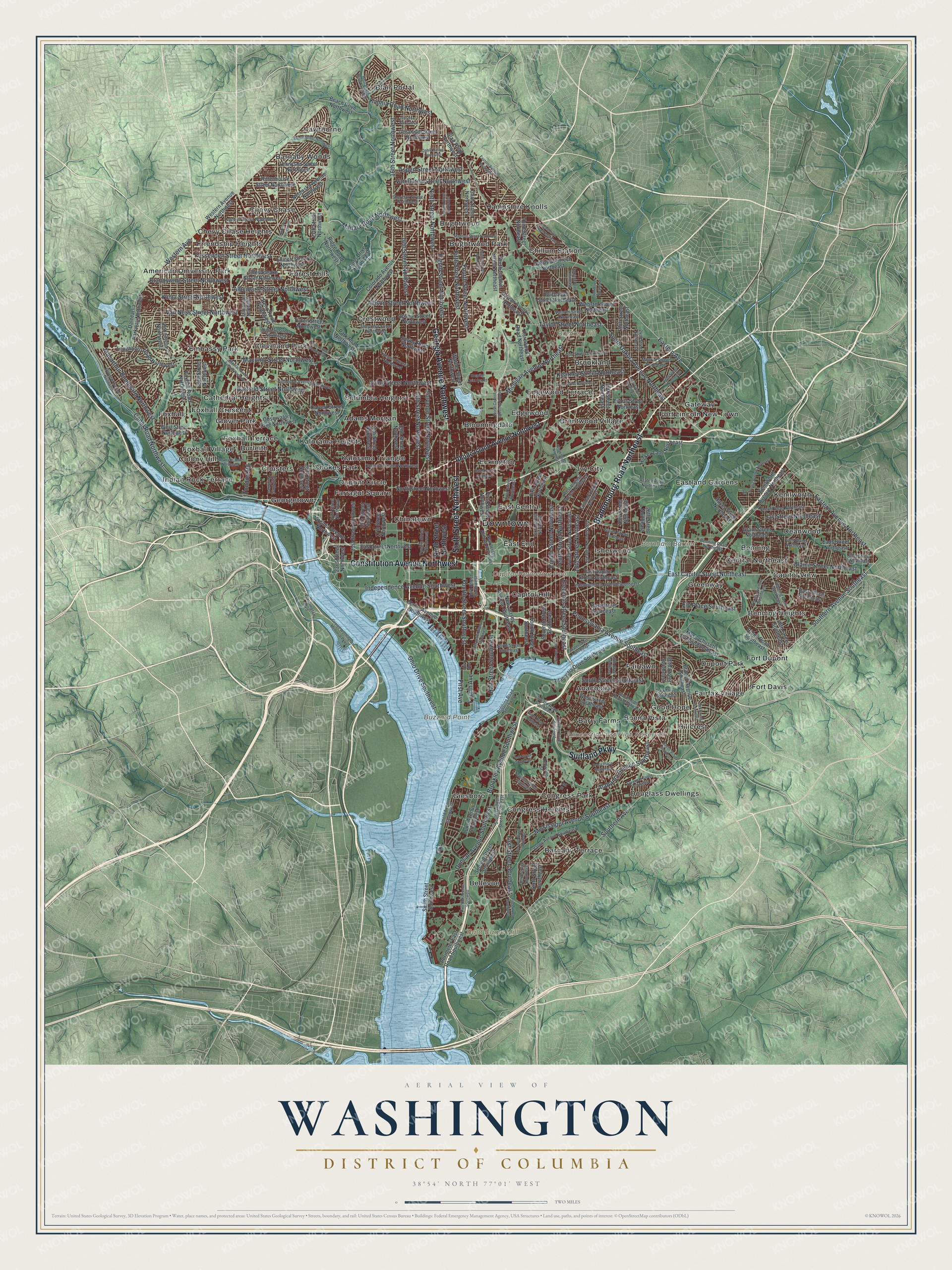
Street and place names on the Washington, D.C. map
These names are printed on the map of Washington, D.C..
Places: Downtown, Bald Eagle Hill, Bunker Hill, Burnham Barrier, Buzzard Point, Anacostia First High Reservoir, Capitol Reflecting Pool, Adams Morgan, American University Park, Anacostia, Barnaby Terrace, Barnaby Woods, Barry Farms, Bellevue, Benning, Benning Heights, Blair Portal, Bloomingdale, Brentwood Village, Brightwood, Brightwood Park, Brookland, Buena Vista, Burleith, Capitol Hill, Capitol View, Cathedral Heights, Central Northeast, Chevy Chase, Chevy Chase Heights, Chillum Station, Chinatown, Cleveland Park, Cloisters, Colony Hill, Columbia Heights, Congress Heights, Congress Park, Cookes Park, Crestwood, Deanwood, Douglass Dwellings, Dupont Circle, Dupont Park, East Central, East End, Eastland Gardens, Eckington, Edgewood, Edgewood Terrace, Embassy Park, Fairfax Village, Fairlawn, Farragut Square, Forest Hills, Fort Davis, Fort Dupont, Fort Lincoln New Town, Foxhall, Foxhall Crescent, Foxhall Terrace, Foxhall Village, Friendship Heights, Gateway, Georgetown, Giesboro, Glover Park, Good Hope, Greenway, Hampshire Knolls, Hawthorne, Hillcrest, Indian Rock Terrace, Isherwood, Ivy City, Kalorama Heights, Kalorama Triangle and Kenilworth.
Streets and roads: Constitution Avenue Northwest, Sixth Street Northwest, Georgia Avenue Northwest, Bladensburg Road Northeast, Suitland Parkway, 16th Street Northwest, East Capitol Street Northeast, Fifth Street Northwest, Eastern Avenue, Tenth Street Northeast, Michigan Avenue Northeast, Eleventh Street Southeast.
More street names, A to Z
13th Street Northeast, 13th Street Northwest, 14th Street Northeast, 14th Street Northwest, 15th Street Northwest, 16th Street Northeast, 17th Street Northeast, 17th Street Northwest, 18th Street Northwest, 18th Street Southeast, 19th Street Northeast, 19th Street Northwest, 20th Street Northeast, 21st Street Northwest, 23rd Street Northwest, 24th Street Northeast, 24th Street Northwest, 26th Street Northeast, 27th Street Northwest, 30th Street Northwest, 30th Street Southeast, 32nd Street Northwest, 34th Street Northwest, 36th Street Southeast, 38th Street Northwest, 44th Street Northwest, 46th Street Southeast, 49th Street Northwest, Alabama Avenue Southeast, Albemarle Street Northwest, Allison Street Northwest, Anacostia Avenue Northeast, Anacostia Drive Southeast, Arnold Avenue Southwest, Ash Street Southeast, Aspen Street Northwest, Azalea Road Northeast, Bass Place Southeast, Bates Street Northwest, Beach Drive Northwest, Beech Street Northwest, Benning Road Northeast, Benning Road Southeast, Blaine Street Northeast, Blair Road Northwest, Branch Avenue Southeast, Brandywine Street Northwest, Brookley Avenue Southwest, Bruce Place Southeast, Buchanan Street Northeast, Calvert Street Northwest, Canal Road Northwest, Cathedral Avenue Northwest, Chesapeake Street Northwest, Clay Street Northeast, Colorado Avenue Northwest, Corcoran Street Northwest, Dahlia Street Northwest, Dalecarlia Parkway Northwest, Delaware Avenue Southwest, Duncan Avenue Southwest, Eads Street Northeast, East Capitol Street Southeast, Eastern Avenue Northeast, Eastern Avenue Northwest, East Street Northwest, East Street Southeast, Eaton Road Southeast, Eighth Street Northeast, Eighth Street Northwest, Eleventh Street Northwest, Ellicott Street Northwest, Ely Place Southeast, Evarts Street Northeast, Fessenden Street Northwest, Fifth Street Northeast, First Avenue, First Street Northeast, First Street Northwest, First Street Southeast, First Street Southwest, Fitch Place Northeast, Fourth Avenue, Fourth Street Northwest, Fourth Street Southeast, Fourth Street Southwest, Foxhall Road Northwest, Gales Street Northeast, Galloway Street Northeast, Garfield Street Northwest, George Washington Memorial Parkway, Geranium Street Northwest, Good Hope Road Southeast, Grant Street Northeast, Half Street Southwest, Harewood Road Northeast, Hawaii Avenue Northeast, Hayes Street Northeast, Hickey Lane Northeast, Hospital Cent Ser Road, Howard Road Southeast, Independence Avenue Southeast, Independence Avenue Southwest, Iris Street Northwest, Irving Street Northeast, Irving Street Northwest, Jay Street Northeast, Kalmia Road Northwest, Kearney Street Northeast, Kenilworth Avenue Northeast, Legation Street Northwest, Loughboro Road Northwest, Luke Avenue Southwest, Macarthur Boulevard Northwest, Macomb Street Northwest, Madison Street Northwest, Maine Avenue Southwest, Massachusetts Avenue Northwest, Massachusetts Avenue Southeast, Military Road Northwest, Mills Avenue Northeast, Mississippi Avenue Southeast, Monroe Street Northeast, Naylor Road Southeast, Nebraska Avenue Northwest, Newcomb Street Southeast, New Jersey Avenue Northwest, New Jersey Avenue Southeast, Newton Street Northwest, Ninth Street Northeast, Ninth Street Northwest, North Capitol Street Northeast, North Capitol Street Northwest, North Street Northwest, North Street Southeast, Oak Street, Observatory Lane Northwest, Oglethorpe Street Northeast, Ohio Drive Southwest, Otis Street Northeast, Overlook Avenue Southwest, Park Drive Southeast, Park Road Northwest, Parsons Avenue, Pennsylvania Avenue Southeast, Perimeter East Road Southwest, Porter Street Northwest, Potomac Avenue Northwest, Redwood Street, Reno Road Northwest, Reservoir Road Northwest, Rhode Island Avenue Northwest, Ridge Road Northwest, Ridge Road Southeast, Rittenhouse Street Northwest, Robbins Road Southwest, Rodman Street Northwest, Ross Drive Northwest, Sargent Road Northeast, Savannah Street Southeast, Second Street Northwest, Second Street Southeast, Second Street Southwest, Seventh Street Northwest, Seventh Street Southeast, Shepherd Street Northwest, Sheridan Road Southeast, Sheridan Street Northwest, Sheriff Road Northeast, Sixth Street Northeast, Sixth Street Southeast, Smith Street Southwest, South Capitol Street Southeast, South Dakota Avenue Northeast, Southern Avenue, Southern Avenue Southeast, South Street Southeast, Spring Road Northwest, Taylor Street Northeast, Tennyson Street Northwest, Texas Avenue Southeast, Third Avenue, Third Street Northeast, Third Street Northwest, Third Street Southeast, Third Street Southwest, Tilden Street Northwest, Tondorf Road, Trinidad Avenue Northeast, Twelfth Street Northeast, Twelfth Street Northwest, Upshur Street Northwest, Valley Avenue Southeast, Van Buren Street Northwest, Van Ness Street Northwest, Varnum Street Northeast, Virginia Avenue Northwest, Vista Street Northeast, Warder Street Northwest, Washington Boulevard, Water Street Southeast, Webster Street Northeast, West Beach Drive Northwest, Western Avenue, Western Avenue Northwest, West Street Northwest, West Street Southeast, West Virginia Avenue Northeast, Yuma Street Northwest.
See the Washington, D.C. map on a wall
The Washington map as an 18 x 24 inch print in a black frame.

This beautifully detailed map of Washington makes an attractive addition to your office, library, or den, and it can even be used to teach children the geography and history of the area. It also makes a great gift for anyone with Washington roots. When you’re done exploring, click here to get your copy of the Washington map.