If you grew up in Eulalia Township, live out one of the hollow roads around Coudersport, or have family near Olmsted or Frinks, you'll find your road on this map. It's a modern aerial view of Eulalia Township in Potter County, Pennsylvania, built with modern data and a vintage artistic feel. Eulalia wraps all the way around Coudersport, so the borough's streets sit unlabeled in the middle, and the township's own buildings are marked in red out along the valleys. The river winds off to the southwest in pale blue, and the hills are shaded in tan and sage. Explore the print options for Eulalia.
Dingman Run Road, Olmsted and Mina
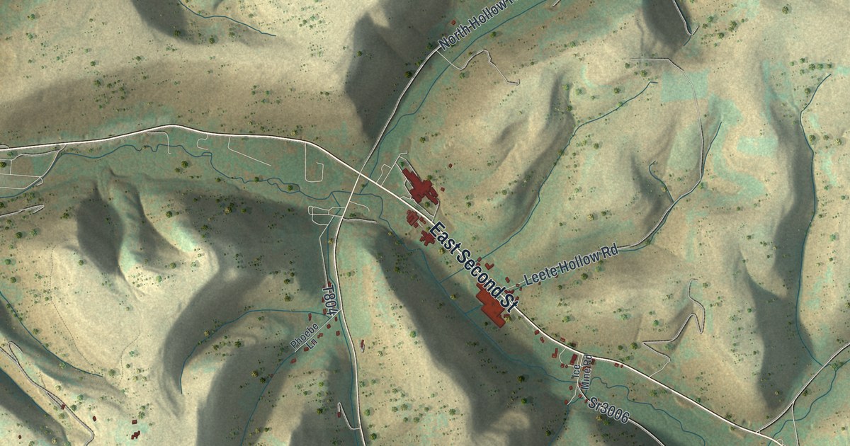
Start at the plain grid of streets in the middle of the map. That's Coudersport. Head east on East Second Street and you'll pass a row of red buildings where North Hollow Road and Leete Hollow Road both branch off to the north. South of town, Dutch Hill Road and Buffalo Street climb into the hills, where Kio Road, Sunrise Ridge Road, Troupe Road and Ayers Hill Road cross the ridges near the bottom edge. Now go back through town and follow the river southwest. T-311 runs down the valley past Olmsted to Mina, near the bottom left, with Old Shovel Road just across the water. Dingman Run Road climbs north out of the valley just west of town, and West Branch Dingman Run Road takes the next hollow over. Frinks sits in the top right off Prosser Hollow Road, and the Susquehannock State Forest label is out in the big hills on the left. Many roads carry a name or a township number, and each red mark is a building, so zoom in and look for yours.
Eulalia was Potter County's first township. The Lycoming County court set it up on December 5, 1810, and the county's 1890 history says it once took in the whole southern part of the county. Its hills kept letting down the people who came to dig. Coal mines were opened on the hilltops in 1839, but the bed didn't average more than fourteen inches, and a trial shaft on the east side of Nelson Run turned up a twelve-inch vein. Then came oil. Joe Tait had found oil in the most improbable places over in McKean County, but when he came to Potter County he drilled a well so dry it blew dust in his face. He tried again in 1881 and did no better. In July 1885 a driller named Watson put down the Nelson well, five miles west by south of Coudersport, and struck thirty-five feet of oil sand at 1,460 feet. He drilled another one on Dingman's Run.
The history also notes that Olmsted station, No. 2, of the Tide Water Pipe Co. stood three miles south of Coudersport, thirty miles from the Rixford pump station. Olmsted is printed on the map about that far down the valley, beside the river, and Dingman Run Road is easy to find just west of town.
For families from Frinks to Mina
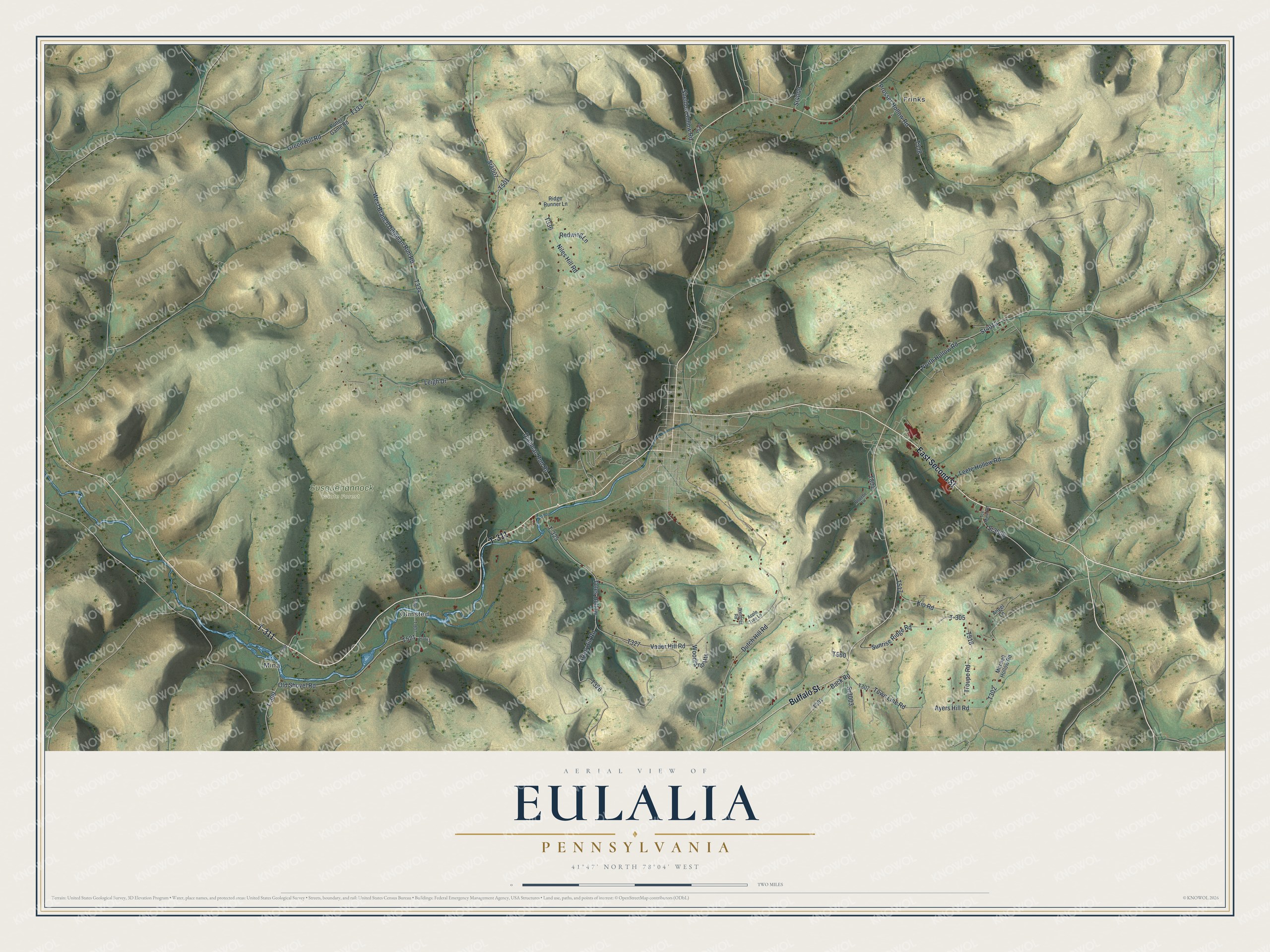
Created by KNOWOL in 2026, this map of Eulalia suits a den, an office or a camp wall. The shading is built on USGS elevation data, so the ridges and hollows have their real shape, and the roads come from Census Bureau records. The title panel reads "Aerial View of Eulalia, Pennsylvania," with the coordinates 41°47' North, 78°04' West and a two-mile scale bar.
It's a good one to give someone who grew up in Eulalia Township, hunts the Susquehannock State Forest, or has family out on one of these hollow roads. Open the preview and zoom in on your road. Shop the Eulalia, Pennsylvania map.