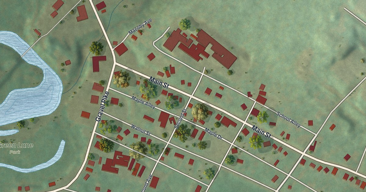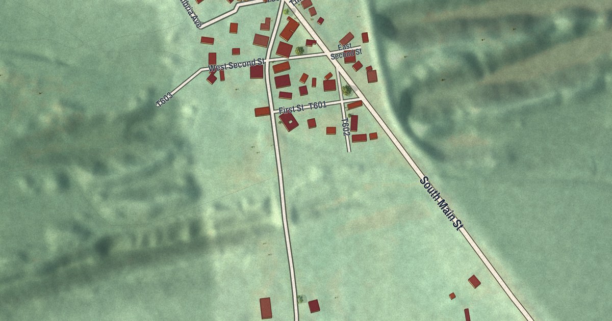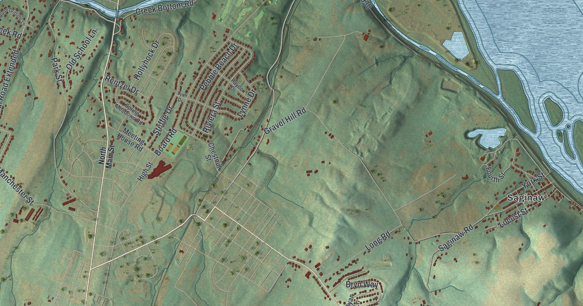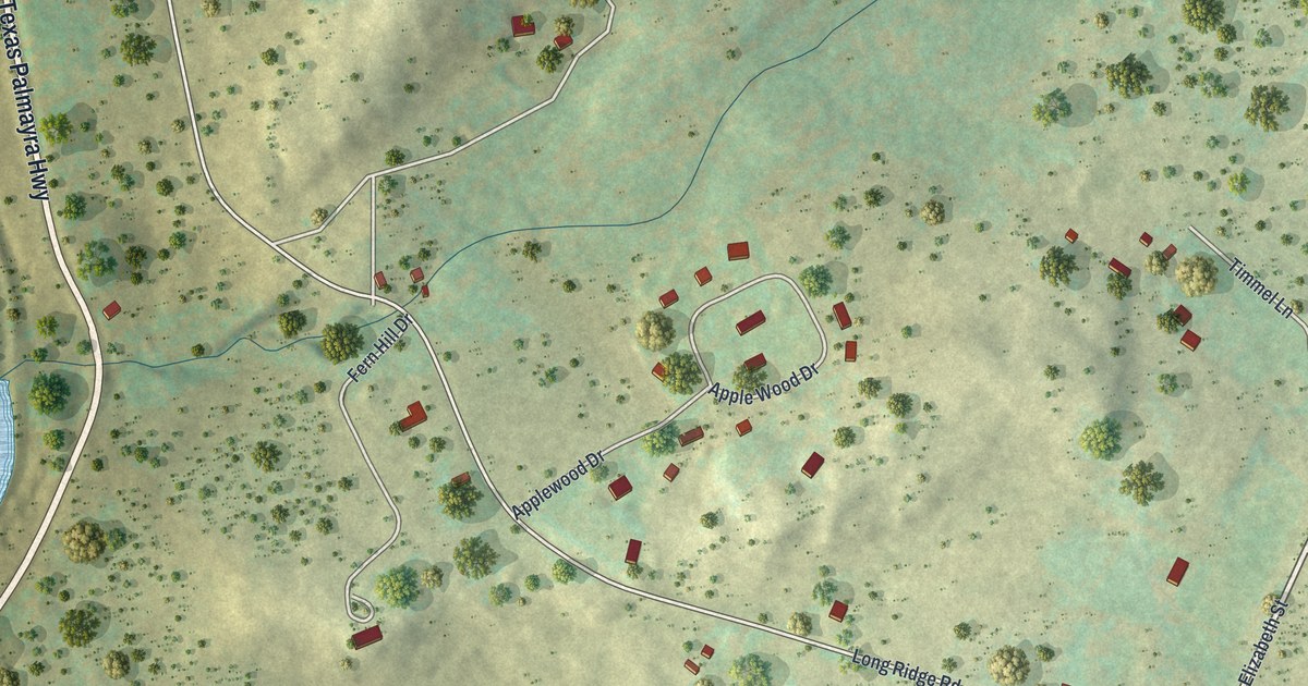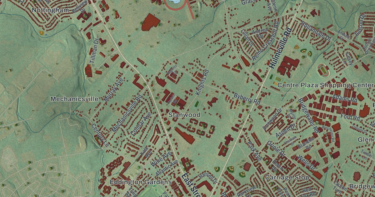
This beautifully detailed map of Bensalem, Pennsylvania was created in 2026 using aerial imagery combined with modern topographical, census, street and landmark data. It’s a one-of-a-kind view of Bensalem that combines accurate data with a vintage aesthetic. The map shows every building in its true location, many of the roads carry their names, and the shaded topographic relief shows the shape of the land.
Explore an aerial view of Bensalem, Pennsylvania
On the map you’ll find Siles, King David Cemetery, Neshaminy State Park, Roosevelt Memorial Park, Yezzi Park, Andalusia, Bridgewater, Brookwood, Carriage Stop, Centre Plaza Shopping Center, Cornwell, Cornwells Manor, and more. If you look closely you can even find your house accurately drawn in its correct location. Zoom in on the preview to look for yours.
Take a closer look at the Bensalem map
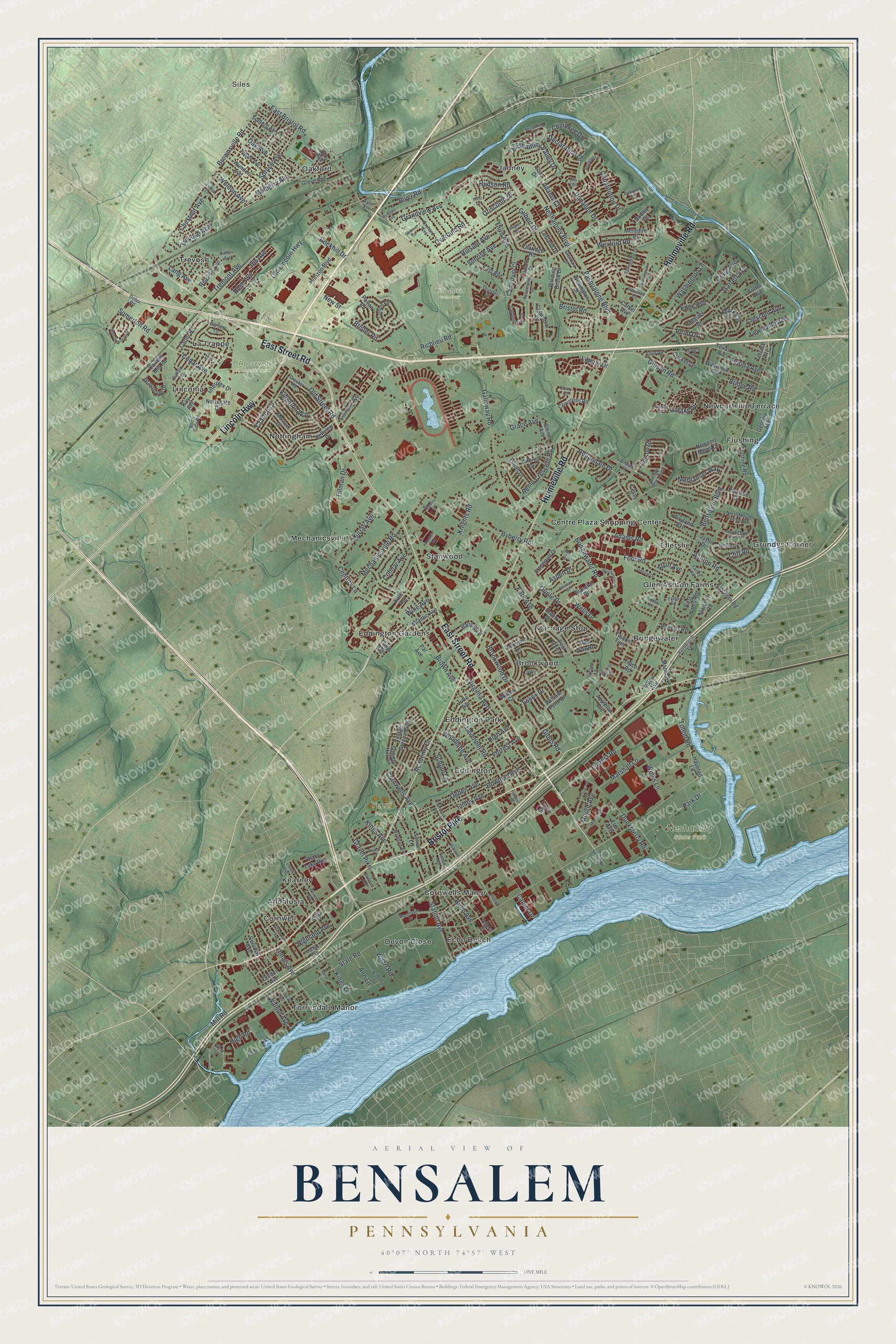
Street and place names on the Bensalem, Pennsylvania map
These names are printed on the map of Bensalem, Pennsylvania.
Places: Siles, King David Cemetery, Neshaminy State Park, Roosevelt Memorial Park, Yezzi Park, Andalusia, Bridgewater, Brookwood, Carriage Stop, Centre Plaza Shopping Center, Cornwell, Cornwells Manor, Devon Close, Echo Beach, Eddington, Eddington Gardens, Eddington Park, Ellerslie, Flushing, Glen Ashton Farms, Grundys Corner, Janney, Kearney, La Trappe, Linconia, Mechanicsville, Newportville Terrace, Nottingham, Oakford, Stanwood, Torresdale Manor and Trevose.
Streets and roads: Bristol Pike, East Street Road, Hulmeville Road, Lincoln Highway, Knights Road, Essex Drive, Oriole Drive, Garrett Avenue, Bensalem Boulevard, State Road, Bristol Road, Neshaminy Boulevard.
More street names, A to Z
Academy Drive, Adams Court, Adams Road, Adler Road, Allen Avenue, Alvin Avenue, Amwell Street, Andrea Drive, Ann Lane, Ann Street, Appleton Avenue, Arrowood Drive, Ashton Road, Aspen Drive, Atlantic Avenue, Beechwood Boulevard, Bellview Drive, Belmont Avenue, Biddles Lane, Birch Avenue, Black Lake Run, Blanche Road, Bogle Road, Boston Avenue, Bowman Avenue, Bridge Road, Bridgewater Road, Brister Road, Brookwood Drive, Brown Avenue, Brownsville Road, Buckingham Drive, Buffalo Avenue, Byberry Road, Camel Avenue, Camer Drive, Canterbury Court, Carter Road, Carters Mill Road, Cedar Avenue, Century Lane, Cesey Lane, Chatham Drive, Cherokee Drive, Chestnut Avenue, Claridge Road, Clarmont Avenue, Cliff Road, Clinton Avenue, Clive Avenue, Clovernook Avenue, Colmar Avenue, Colonial Avenue, Columbia Drive, Constitution Drive, Cornwells Avenue, Cowcross Road, Crafton Drive, Craig Avenue, Crescent Avenue, Crespo Lane, Cricket Lane, Declaration Drive, Dobor Road, Donallen Drive, Dresher Road, Dudley Court, Dunksferry Road, Eagen Court, East Bristol Road, East Drive, East Yates Road, Ebury Court, Edge Avenue, Elk Avenue, Elm Avenue, Essington Way, Farley Road, Federal Street, Finley Avenue, First Avenue, Florence Lane, Florida Avenue, Flushing Road, Ford Road, Forrest Avenue, Forrest Road, Franklin Avenue, Fulton Avenue, Galaxy Drive, Galloway Road, Garfield Lane, Garland Road, Georgia Avenue, Gibbs Road, Gibson Road, Gilbert Drive, Glendale Drive, Glenn Avenue, Grace Avenue, Grandview Avenue, Gravel Pike, Graystone Drive, Griscomb Drive, Grove Avenue, Hansell Drive, Haunted Lane, High Avenue, Highland Avenue, High Road, Hillside Avenue, Hollandale Drive, Horizon Boulevard, Hudson Road, Imperial Court, Interplex Drive, Iris Avenue, Jason Drive, Jordan Drive, Judson Drive, Judson Drive East, June Avenue, Kate Avenue, Kay Avenue, Kings Avenue, Kings Lane, Kingston Way, Kleckner Road, Knable Lane, Lang Avenue, Lavender Road, Leeland Drive, Lewisville Avenue, Liberty Drive, Lillian Drive, Lisa Turn, Locust Avenue, Louis Drive, Lowell Avenue, Maple Avenue, Maria Circle, Mark Circle, Marshall Lane, Marwin Road, Mechanicsville Road, Meredith Place, Merganser Way, Michael Drive, Mill Road, Moore Avenue, Morrow Drive, Mulberry Avenue, Murray Avenue, Myrtle Drive, Neshaminy Drive, Neshaminy Valley Drive, Newport Mews Drive, New Street, Northgate Drive, North Gate Road, North Mount Vernon Circle, Oak Avenue, Oakford Avenue, Ogden Avenue, Old Bridge Road, Old Lincoln Highway, Old Street Road, Orchard Avenue, Orchid Avenue, Overland Road, Oxford Court, Palm Avenue, Palton Road, Par Avenue, Paris Avenue, Park Avenue, Park Drive, Parkview Drive, Pasqualone Boulevard, Pear Tree Lane, Pickwick Court, Point Drive, Portside Drive, Reading Avenue, Red Fox Road, Regents Court, Remo Crescent Road, Richardson Avenue, Richlieu Road, River Road, Roberts Road, Robin Drive, Rockhill Drive, Rose Avenue, Rosemarie Drive, Rywal Lane, Saddlebrook Drive, Sandy Lane, School 28, School Lane, Senator Lane, Simons Avenue, Society Hill Drive, Somers Avenue, Somerton Road, South Mount Vernon Circle, Springdale Drive, Spruce Avenue, Station Avenue, Summit Lane, Sunrise Avenue, Sunset Lane, Tatham Road, Tauton Turn, Tennis Avenue, Terrace Avenue, Texas Avenue, Third Avenue, Thunder Circle, Tillman Drive, Timber Lane, Totem Road, Trace Road, Treeline Drive, Tremont Avenue, Trevose Avenue, Tucker Road, Tulip Avenue, Uranus Drive, Vandergrift Lane, Village Greene Boulevard, Virginia Avenue, Walnut Avenue, Washington Lane, Wayland Avenue, Weldon Avenue, Wellington Drive, Wells Drive, West Court, West Drive, Wexford Road, Wharf Road, Whittier Avenue, Wildman Avenue, Wildwood Avenue, William Penn Drive, Williams Avenue, Willow Court, Winchester Road, Winding Brook Drive, Wine Avenue, Winks Lane, Woodbine Avenue, Woodhaven Drive, Wunder Avenue, Yates Road.
See the Bensalem, Pennsylvania map on a wall
The Bensalem map as an 18 x 24 inch print in a black frame.

This beautifully detailed map of Bensalem makes an attractive addition to your office, library, or den, and it can even be used to teach children the geography and history of the area. It also makes a great gift for someone who left Bensalem and still calls it home. When you’re done exploring, click here to get your copy of the Bensalem map.