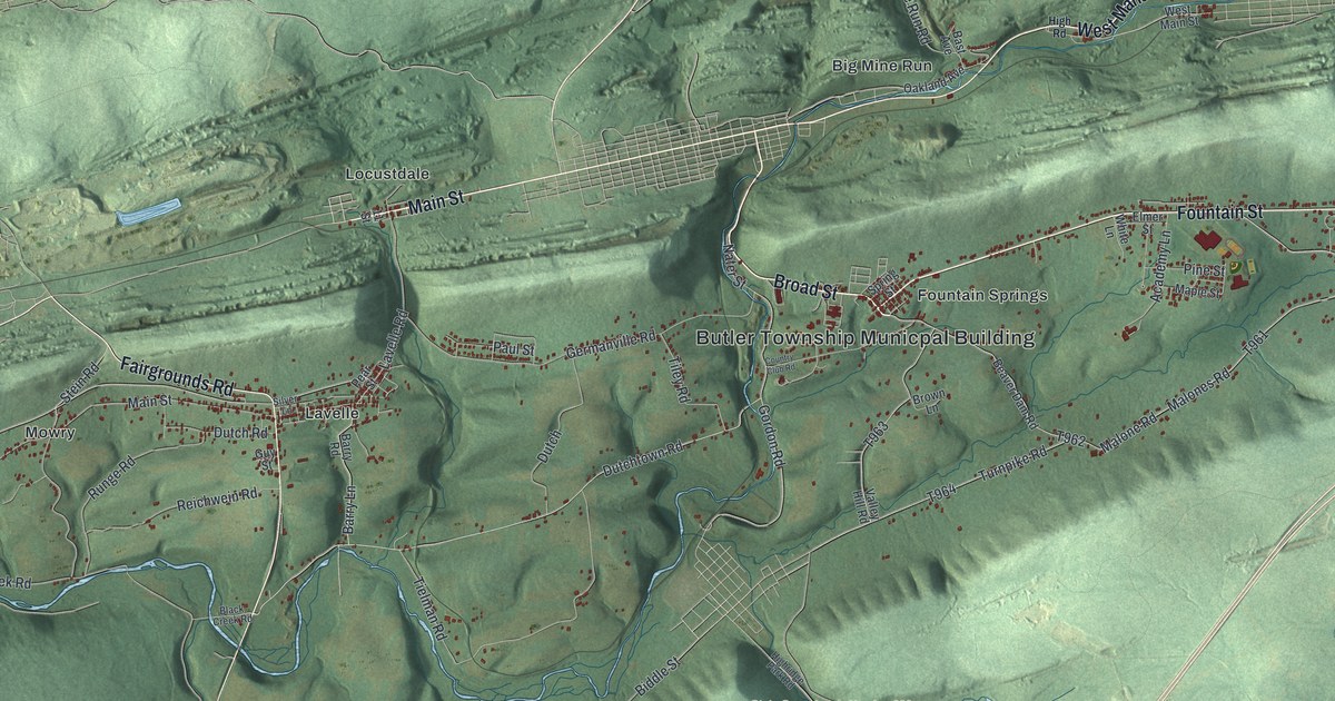
If you grew up in Fountain Springs, Lavelle or Locustdale, or you have family along the ridge roads of Butler Township, this map gives you plenty to find. It's a modern aerial view of Butler Township in Schuylkill County, Pennsylvania, made from modern data and given a vintage feel. Long ridges run across the sheet in shaded green. Buildings are marked in red along the valleys between them. The view reaches from Helfenstein in the lower left to Big Mine Run and Connerton up top. Explore the print options for Butler, Schuylkill County.
From Fountain Springs to Helfenstein on High Road
Start at Fountain Springs, near the middle of the sheet, where Broad Street meets Fountain Street. The Butler Township building is labeled just below. Fountain Street heads east along the foot of the ridge, and Malone Road drops south from it. Now go back west. Main Street runs from Locustdale toward Lavelle and Mowry. At Lavelle, Fairgrounds Road crosses and heads south toward Dutchtown Road. From Lavelle, follow High Road west past Mowry to Helfenstein in the lower left corner. Up top, Big Mine Run sits in the next valley north, and Connerton is out at the top right. Down at the bottom, Gordon Mountain Road runs past State Game Lands Number 326. Many roads are labeled, and each red shape is a building, so zoom in on the preview and look for yours.
Fountain Springs is where Butler Township got its start. The 1881 History of Schuylkill County says Nicholas Seitzinger is believed to have made a clearing there as early as 1795. In 1810 George Seitzinger built a tavern along the old Centre turnpike. For a time it was the only inn of its kind in the area. The place was named for a spring that gushed out of one of its hills. The same book says the Seitzingers had a clever way to get venison. They caught a young doe and tamed her. When they wanted fresh meat, they sent her out to lure other deer within rifle range. Gray wolves often howled right under their cabin windows.
Fountain Springs stayed at the heart of things as the township grew. The first schoolhouse was built there about 1830, on the ground where the Miners' hospital stood by 1881. Butler was once part of Barry Township. When it became its own township in 1848, the first election was held at Fountain Springs. By 1880 the book counted Locust Dale and Big Mine Run among the township's mining villages. Both are printed on this map, with Locustdale now spelled as one word. The tavern and the spring aren't labeled, but Fountain Street and Spring Street both run through the village today.
For home in Fountain Springs, Lavelle or Locustdale
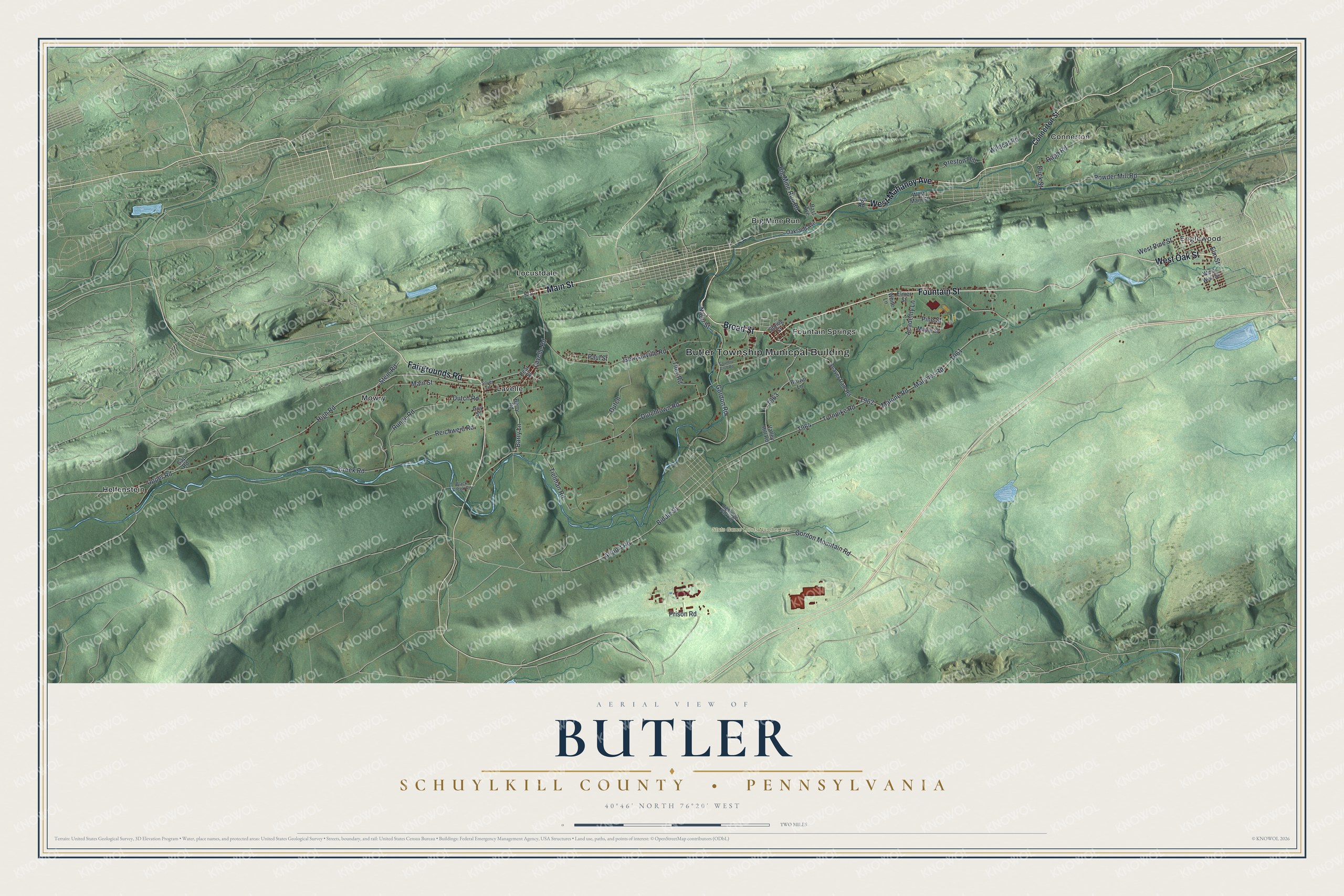
Created by KNOWOL in 2026, this Butler Township map shows the long ridges in shaded green, with streams in blue and buildings in dark red along the valleys. The shaded hills come from USGS elevation data. The title panel reads "Aerial View of Butler, Schuylkill County, Pennsylvania," with the coordinates 40°46' North, 76°20' West and a two-mile scale bar.
It suits a kitchen, a den or a hunting camp wall. It's a thoughtful gift for someone who went to school in Butler Township or moved away from Lavelle or Locustdale. Open the preview, zoom in on Fountain Street and find a roof you know. Shop the Butler, Schuylkill County, Pennsylvania map.