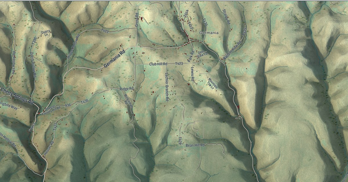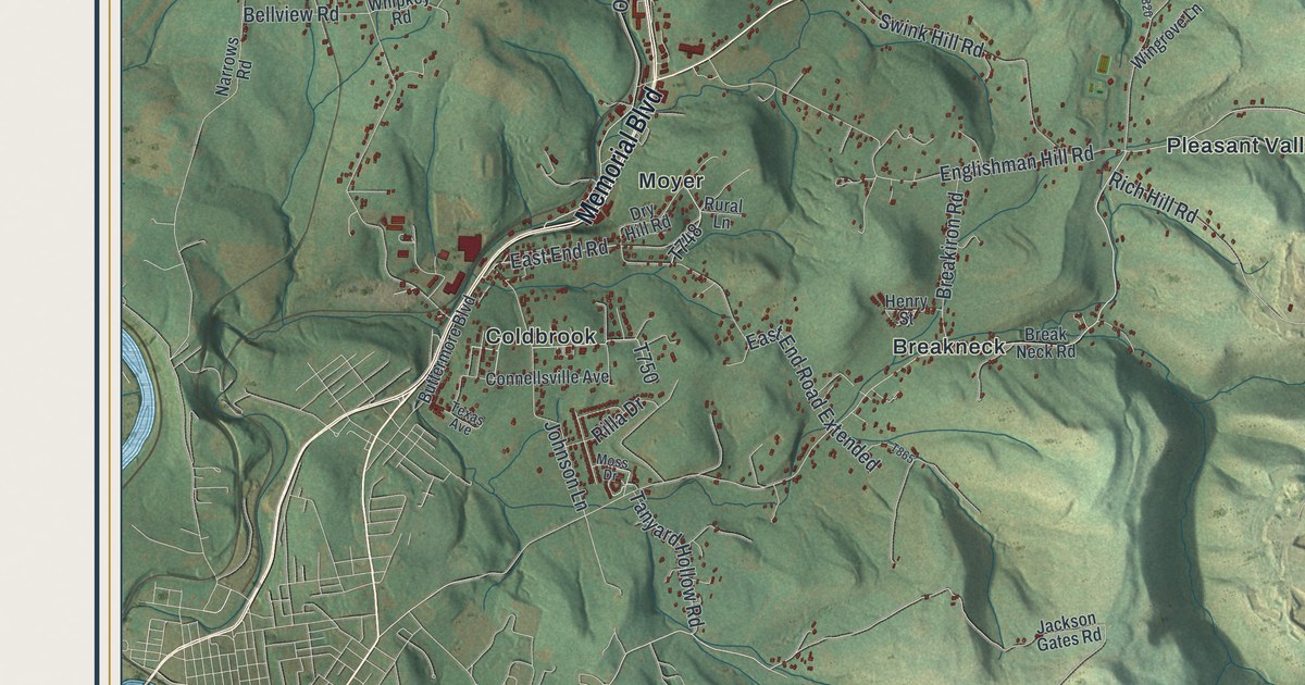
If you grew up in Pennsville or Prittstown, have family up near Bear Rocks, or drive Memorial Boulevard every day, this map gives you plenty to find. It's a modern aerial view of Bullskin Township in Fayette County, Pennsylvania, made from modern data and printed with a vintage feel. Green shaded hills fill the whole sheet, and each building is a small red shape. Prittstown, Pennsville, Moyer and Coldbrook line up along the left side, and the high hills rise on the right. Explore the print options for Bullskin.
From Prittstown to Breakneck and Bear Rocks
Start at Prittstown, on Memorial Boulevard near the left side of the map. Follow Memorial Boulevard south. You'll pass Pennsville, then Moyer, and come to Coldbrook near the bottom left corner. Just east of there is Breakneck. Breakneck Road runs east from it, past Pleasant Valley and on into the hills. Now go back to the spot where Pleasant Valley Road leaves Memorial Boulevard, south of Pennsville. It climbs northeast through Wooddale to Laurelville, near the top of the sheet. Just west of it, Bridgeport and Hammondville sit by a blue lake marked Jacobs Creek Park. From Laurelville, Three Mile Lane heads east to Bear Rocks, a tight little grid of streets in the top right. Bear Rocks Road runs south from there along the high ground. Many of the roads are labeled, and each red shape is a building, so zoom in on the preview and look for yours.
Breakneck got its name from an accident. In 1818, an iron furnace went up on White's Run, in the south end of the township. It was called the Findley Furnace. While it was being built, a workman fell from the stack. He said "that it was a regular breakneck affair." After that, most people called the furnace Breakneck. The story is told in an 1882 county history, the History of Fayette County. The furnace could make 100 tons of iron a month, but it usually made no more than 70. It shut down for good in the fall of 1837. By 1882, the book was calling that part of the township the Breakneck district. The furnace isn't marked on the map, but Breakneck is, just east of Coldbrook.
Bullskin had an older furnace, too. Isaac Meason built the Mount Vernon Furnace in the early 1800s, and his son Isaac ran it for years. The book gives two different dates for when it started. It stood on Mounts' Creek, north of the center of the township, near the iron ore at the foot of Chestnut Ridge. The stack was small, but about 60 men worked there. They cast kettles and other iron goods and hauled them to Connellsville to ship. It had shut down for good by 1830. By 1882, only the solid stone stack was left. It was added to the National Register of Historic Places in 1991, and its listing puts it off Eutsey Road, near the center of this map. It isn't labeled on the print.
The same book gives two stories for the name Bullskin. One says settlers from Virginia picked it to remember a place back home. The other says a pioneer killed an animal so big that, he bragged, its skin would have covered the whole country. The book says people in 1882 didn't much like the name. Some had tried to change it, but they never got anywhere. BULLSKIN is printed in tall capital letters across the title panel of this map.
A gift for anyone from Pennsville, Moyer or Bear Rocks
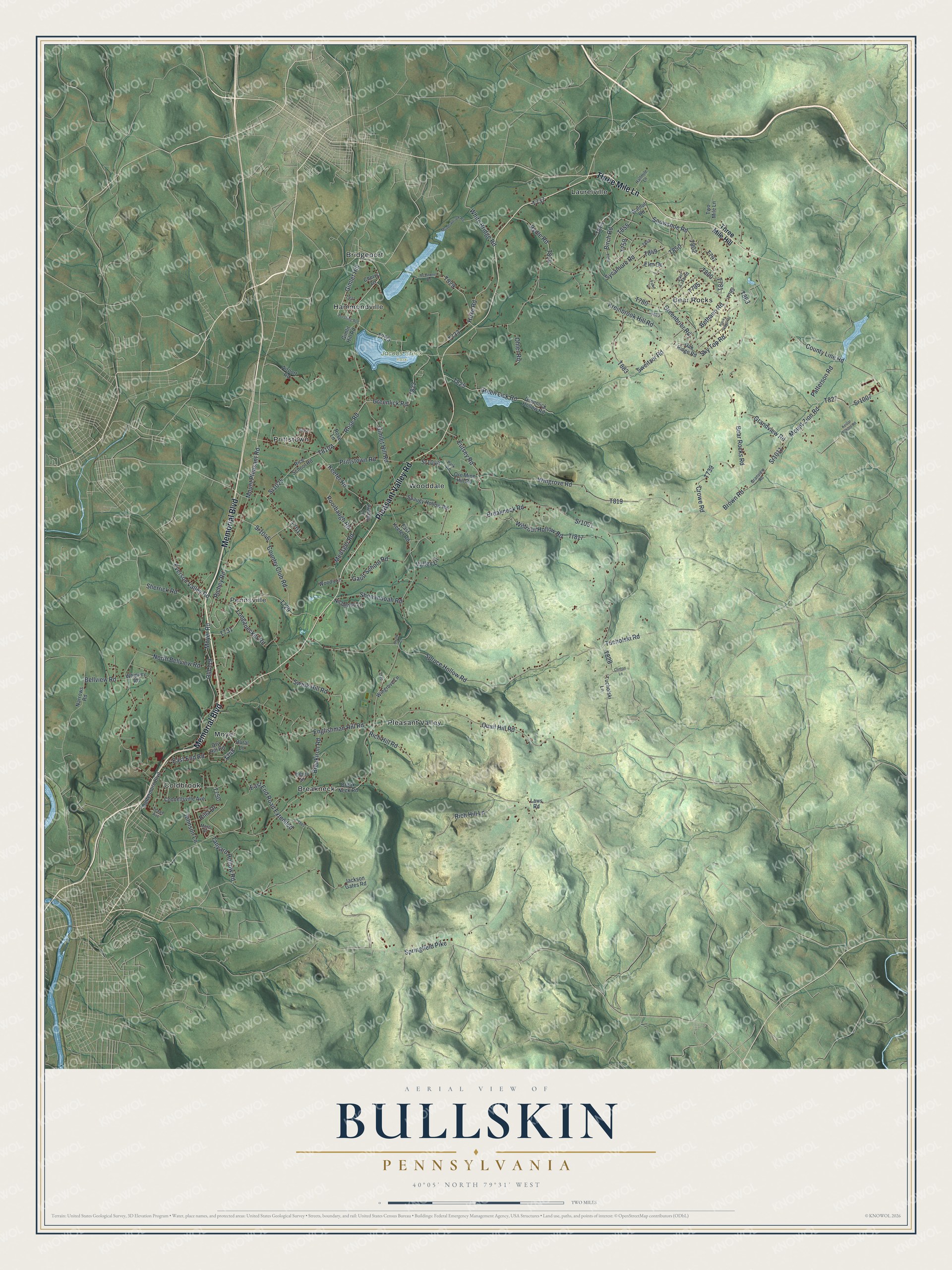
Created by KNOWOL in 2026, this Bullskin map fits an office, a den or a family room, anywhere someone can stop and trace a road home. The shaded hills come from USGS elevation data, so the high ground on the right is the real shape of the land. The title panel reads "Aerial View of Bullskin, Pennsylvania" with the coordinates 40°05' North, 79°31' West and a two-mile scale bar.
It's a thoughtful gift for someone who grew up in Pennsville or Moyer, went to school in Bullskin, or moved away and still thinks about these hills. Open the preview, zoom in and find the road you know. Shop the Bullskin, Pennsylvania map.