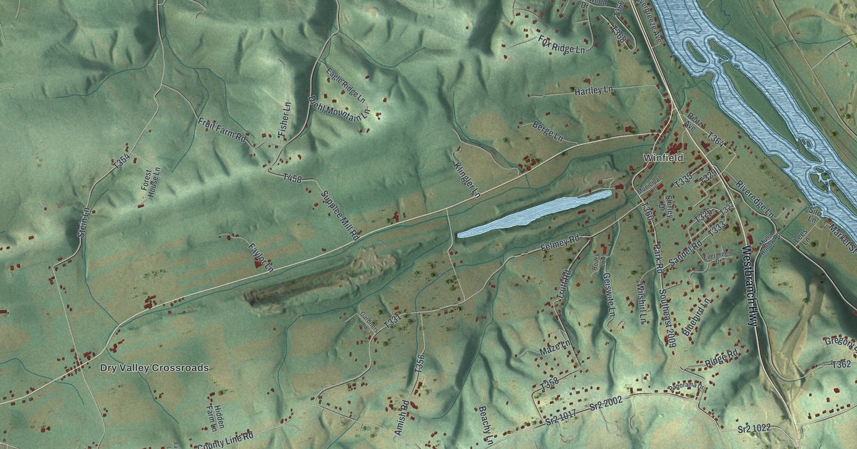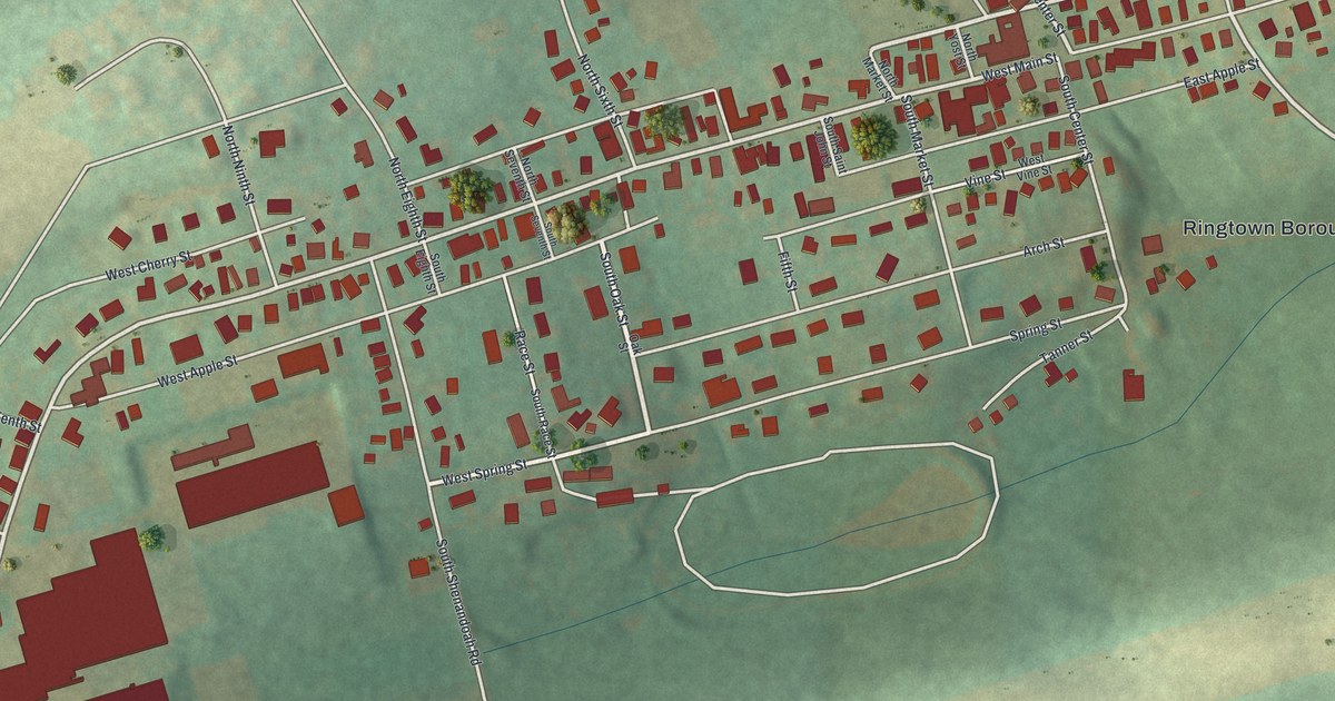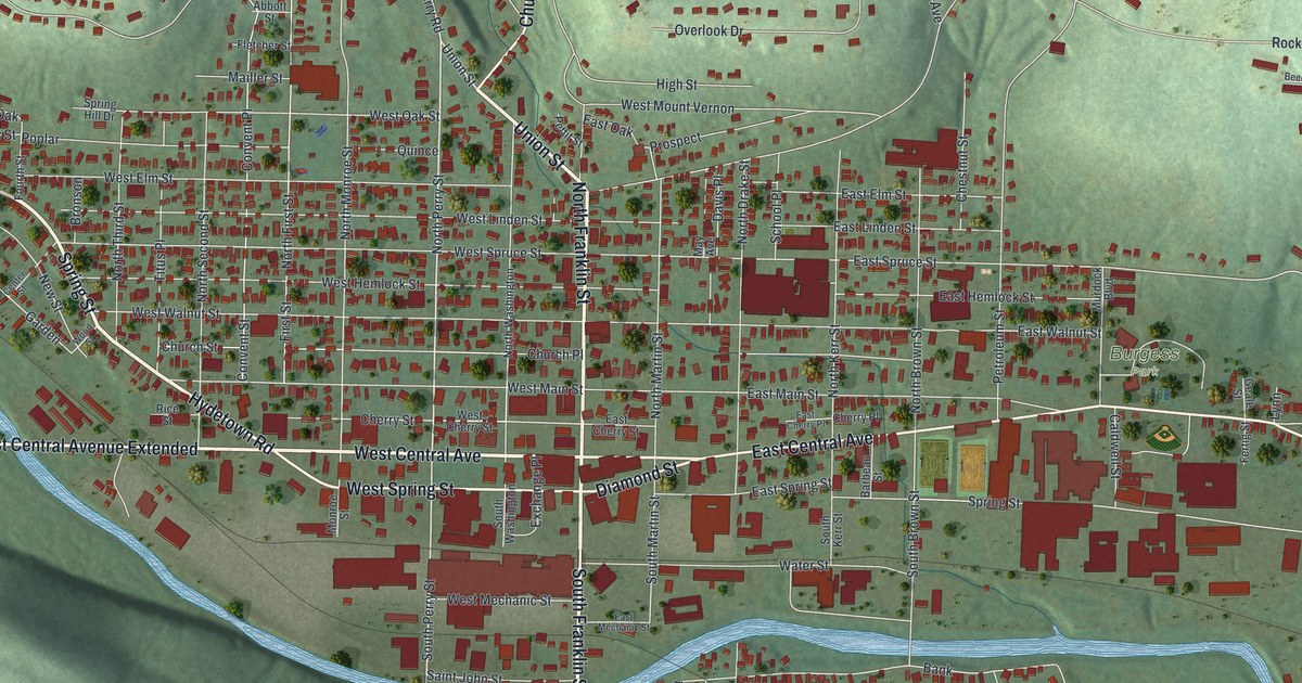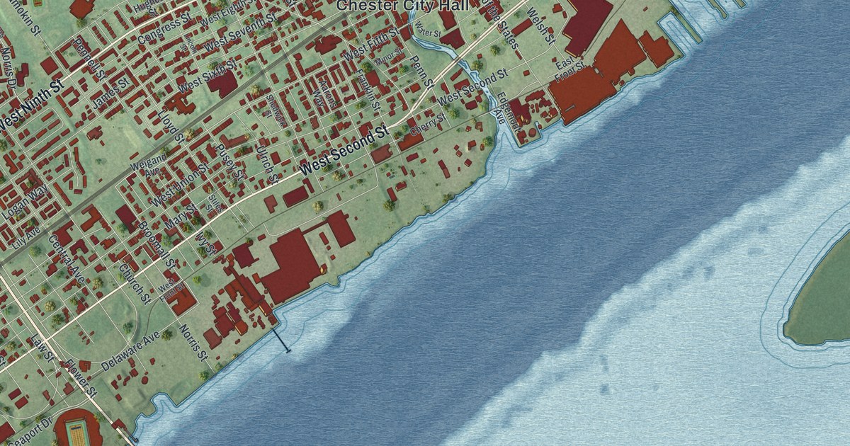
This beautifully detailed map of Chester City, Pennsylvania was created in 2026 using aerial imagery combined with modern topographical, census, street and landmark data. It’s a one-of-a-kind view of Chester City that combines accurate data with a vintage aesthetic. The map shows every building in its true location, many of the roads carry their names, and the shaded topographic relief shows the shape of the land.
Explore an aerial view of Chester City, Pennsylvania
On the map you’ll find Chester City Hall, Chester Park, Deshong Park, Crozer Park, and South Chester, along with West Ninth Street, East Ninth Street, West Second Street, Industrial Highway, Highland Avenue, West Fourth Street, Edgmont Avenue, and more. If you look closely you can even find your house accurately drawn in its correct location. Zoom in on the preview to look for yours.
Take a closer look at the Chester City map
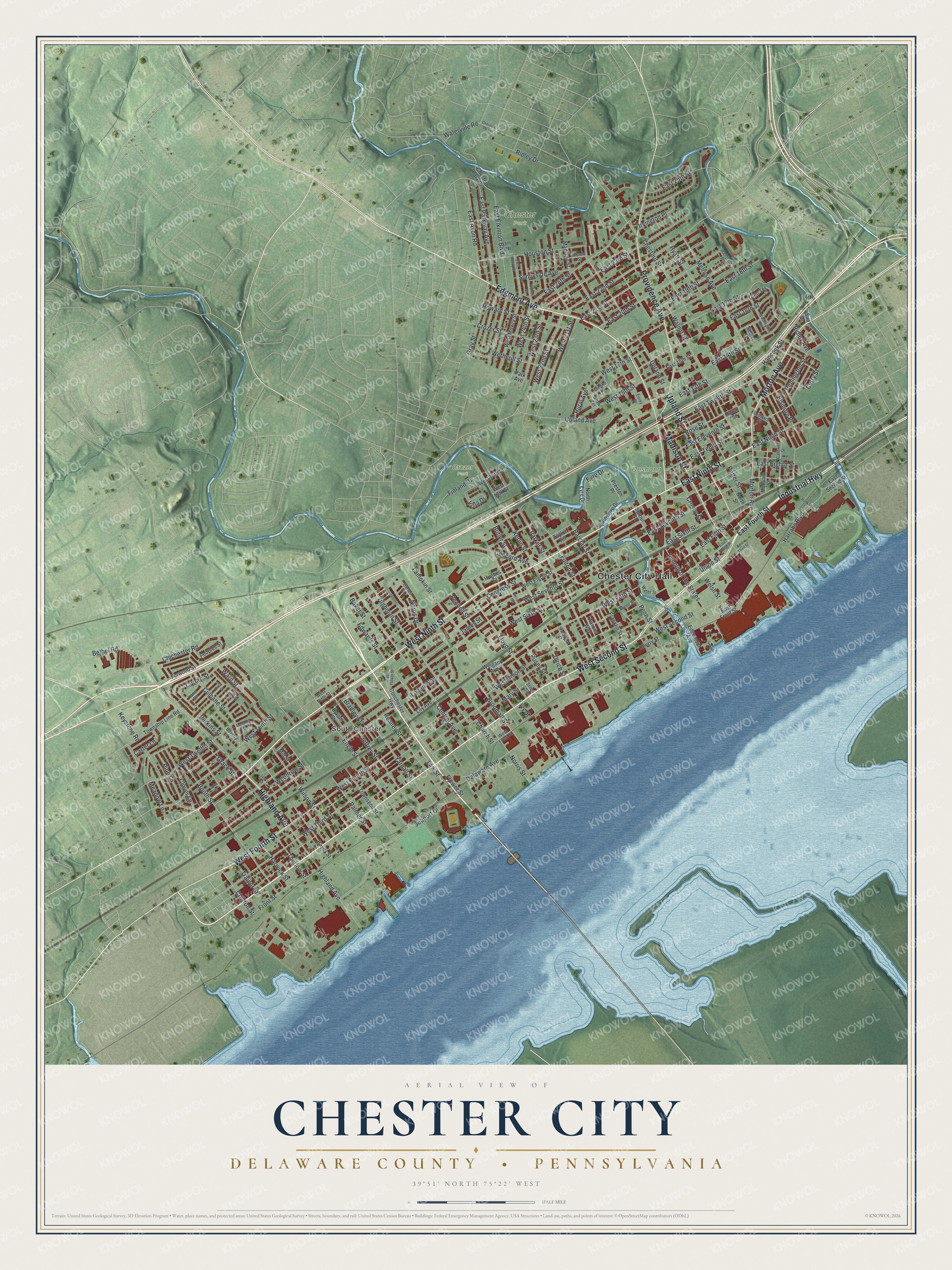
Street and place names on the Chester City, Pennsylvania map
These names are printed on the map of Chester City, Pennsylvania.
Places: Chester City Hall, Chester Park, Deshong Park, Crozer Park and South Chester.
Streets and roads: West Ninth Street, East Ninth Street, West Second Street, Industrial Highway, Highland Avenue, West Fourth Street, Edgmont Avenue, Providence Avenue, Morton Avenue, Upland Street, Madison Street, East 13th Street.
More street names, A to Z
Aarons Way, Avenue of the States, Baker Street, Barclay Street, Bethel Road, Beverly Lane, Booth Street, Bradley Street, Broomall Street, Butler Street, Byram Street, Caldwell Street, Carlas Lane, Carter Lane, Central Avenue, Cherry Street, Chester Park Drive, Chestnut Parkway, Chestnut Street, Chichester Road, Church Street, Clayton Street, Clover Lane, Conchester Highway, Concord Avenue, Congress Street, Crosby Street, Crozer Street, Culhane Street, Curran Street, Curry Street, Delaware Avenue, Doran Street, East 14th Street, East 15th Street, East 16th Street, East 17th Street, East 18th Street, East 19th Street, East 20th Street, East 21st Street, East 22nd Street, East 23rd Street, East 24th Street, East 25th Street, East Avon Road, East Eighth Street, East Eleventh Street, East Elkinton Boulevard, East Fifth Street, East Flower Street, East Fourth Street, East Front Street, East Mowry Street, East Parkway Avenue, East Second Street, East Seventh Street, East Sixth Street, East Tenth Street, East Third Street, East Twelfth Street, Edgemont Avenue, Edwards Street, Elsinore Place, Engle Street, Esrey Street, Eyre Drive, Finland Drive, Flower Street, Forwood Street, Franklin Street, Front Street, Fulton Street, Gingko Lane, Glen Terrace, Grace Street, Gray Street, Hancock Street, Harrahs Boulevard, Harwick Street, Hayes Street, Hinkson Street, Houston Street, Howard Street, Hughes Street, Hyatt Street, Irvington Place, Ivy Street, James Street, Jeffrey Street, John Street, Kane Street, Kerlin Street, Keystone Road, Lamokin Street, Law Street, Ledward Street, Lewis Street, Lily Avenue, Lincoln Street, Lloyd Street, Logan Way, Mary Street, McCarey Street, McIlvain Street, Meade Street, Meadow Lane, Melrose Avenue, Mill Street, Minor Street, Nolan Street, Norris Drive, Norris Street, North Eyre Drive, North Street, Palmer Street, Park Avenue, Parker Street, Pennell Street, Penn Street, Peoples Street, Perkins Street, Pine Lane, Potter Street, Preston Place, Price Street, Pusey Street, Reaney Street, Remington Street, Ridley Avenue, Ridley Drive, Rose Street, Rural Avenue, Seaport Drive, Seigel Street, Shaw Terrace, Shedwick Street, South Eyre Drive, Sproul Street, Stiles Street, Sun Drive, Sunnyside Avenue, Taylor Terrace, Thurlow Street, Tilghman Street, Townsend Street, Township Line Road, Trainer Street, Ulrich Street, Union Street, Upland Avenue, Villa Drive, Walnut Street, Ward Street, Washington Avenue, Washington Boulevard, Water Street, Waterville Road, Weigand Avenue, Welsh Street, West 13th Street, West 14th Street, West 15th Street, West 17th Street, West 21st Street, West 22nd Street, West 23rd Street, West 24th Street, West Eighth Street, West Fifth Street, West Front Street, West Mowry Street, West Seventh Street, West Sixth Street, West Tenth Street, West Third Street, West Twelfth Street, West Union Street, Wetherill Street, Wilson Street, Woodrow Street, Worrell Street, Yarnall Street.
See the Chester City, Pennsylvania map on a wall
The Chester City, Delaware County map as an 18 x 24 inch print in a black frame.

This beautifully detailed map of Chester City makes an attractive addition to your office, library, or den, and it can even be used to teach children the geography and history of the area. It also makes a great gift for anyone who grew up in Chester City or moved away. When you’re done exploring, click here to get your copy of the Chester City map.