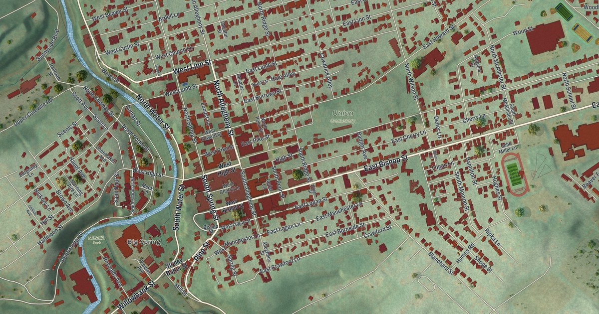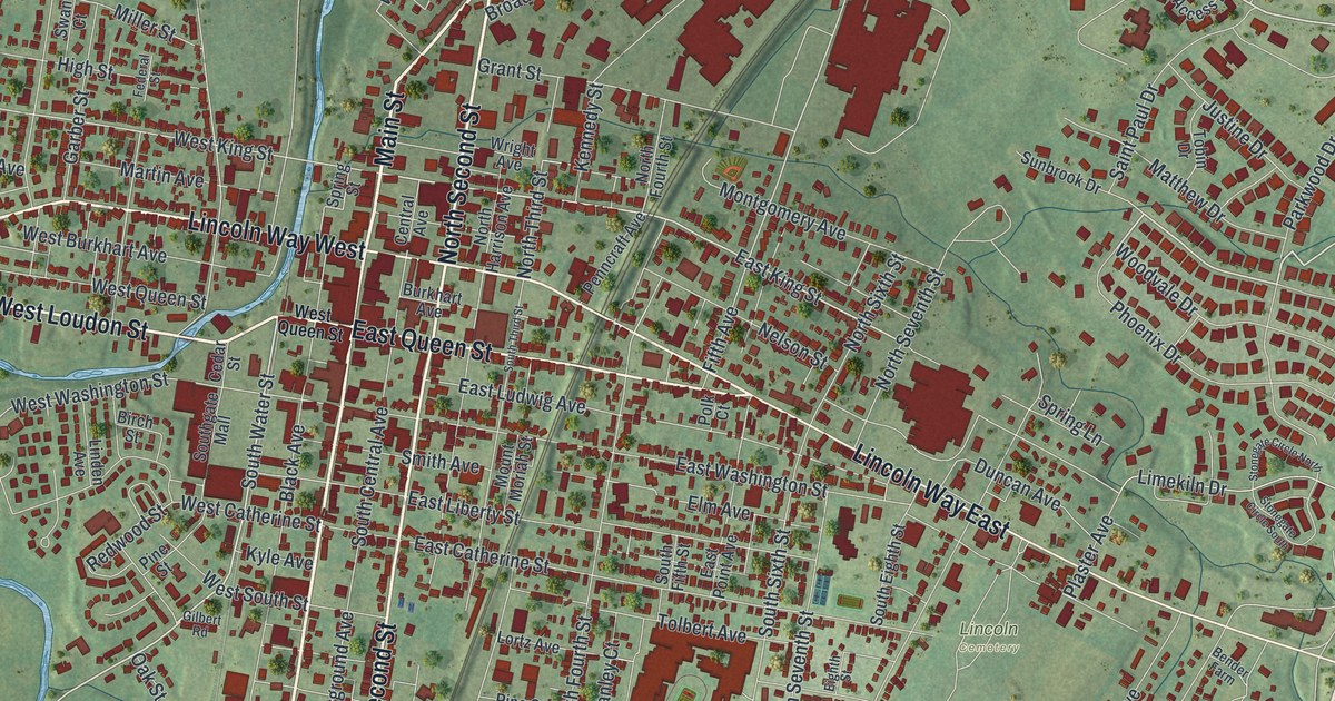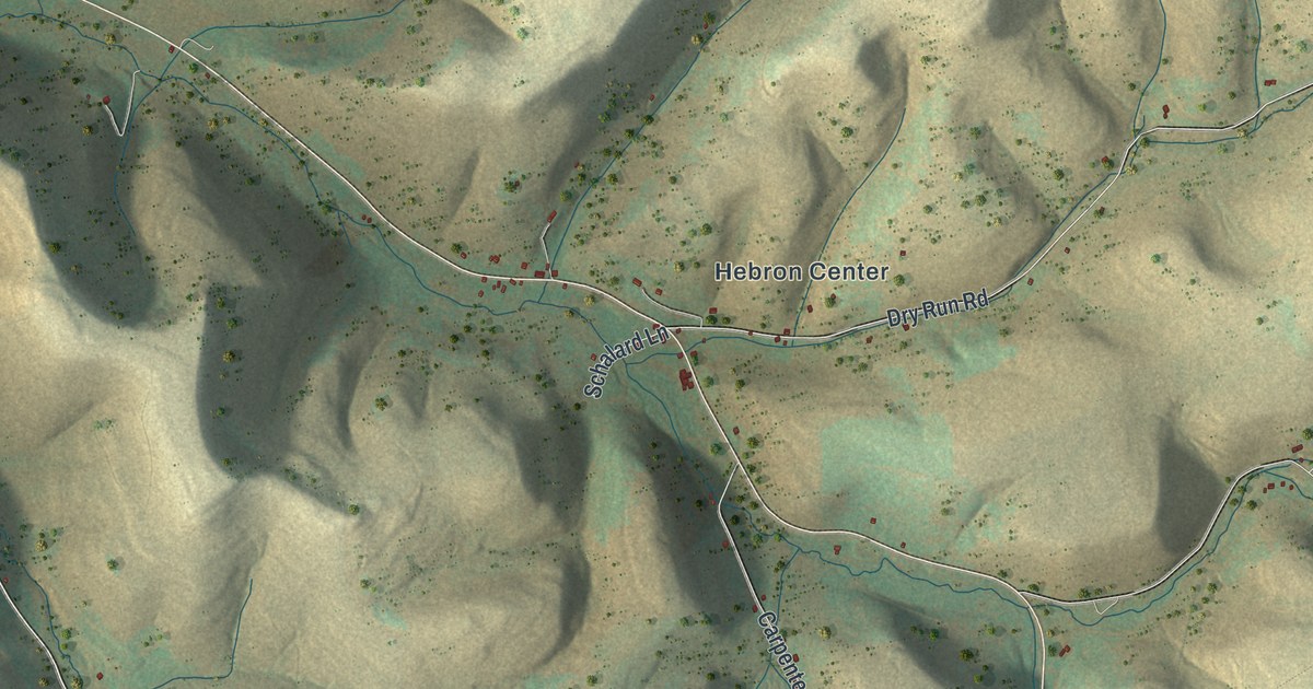
If you grew up in Hebron Township, have family near Coneville or Hebron Center, or come up every fall to hunt State Game Lands Number 204, this map has your creek road on it. It's a modern aerial view of Hebron Township in Potter County, Pennsylvania, drawn from modern data with a vintage artistic feel. The hills are shaded in tan and moss green, and more than 900 buildings are marked in red along the roads that wind through the hollows. Explore the print options for Hebron.
Hebron Center, Whitney Creek Road and Steer Brook Road
Start at Coneville, near the top left, where the road runs along a creek. Topeka Hollow Road sits just to the northwest, near the top left corner. Follow the long road southeast from Coneville and you'll reach Hebron Center, where Dry Run Road heads east and Carpenter Road drops south. Past Hebron Center, South Branch Road branches off to the east. Dry Run Road meets Summit Road up in the top right, and Dwight Road sits farther east near the right edge. Ridge Road and Tennessee Road cross the middle of the sheet farther south, and Steer Brook Road runs down toward the bottom edge. Over on the left side, below the State Game Lands Number 204 label, White Chopin Road, Carley Hill Road and Whitney Creek Road come together near West Hebron Road. Just east of there, Sheldon Hollow Road runs straight south. Many of the roads are named and each red mark is a building, so zoom in and look for yours.
A lot of those road names are really creek names. An 1890 county history says Fishing Creek flows southwest from near the Hebron post office toward Roulette. Whitney's Creek, South Branch and other streams that feed the Oswayo rise in the north half of the township. They flow northwest "through magnificent gulches." Dent Brook and Steer Brook rise in the southeast corner and run south into the Allegheny through deep ravines. The creeks aren't labeled on the map, but Whitney Creek Road, South Branch Road and Steer Brook Road are, and there's a road labeled Fishing Creek in the lower left.
The same history quotes a Dr. Mattison, who wrote that until 1829 the only families in Hebron were those of Peabody, Whitney, Reuben Card and John White. A colony of Seventh Day Baptists from Alfred came next, and the early settlers made a covenant not to use liquor. According to Mattison, it was a resolution that was rigidly kept.
For Hebron Center families and game lands hunters
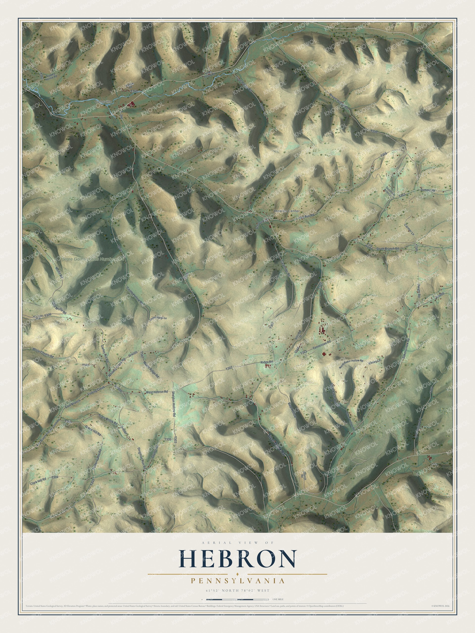
Created by KNOWOL in 2026, this map of Hebron suits a den, an office or a camp wall. The hollows are shaded from USGS elevation data, and the road lines come from the Census Bureau. The title panel reads "Aerial View of Hebron, Pennsylvania," with the coordinates 41°52' North, 78°02' West and a one-mile scale bar.
Buy it for someone who grew up in Hebron Township, still has family out on one of these creek roads, or hunts the game lands every season. Open the preview, zoom in and find the road you know. Shop the Hebron, Pennsylvania map.