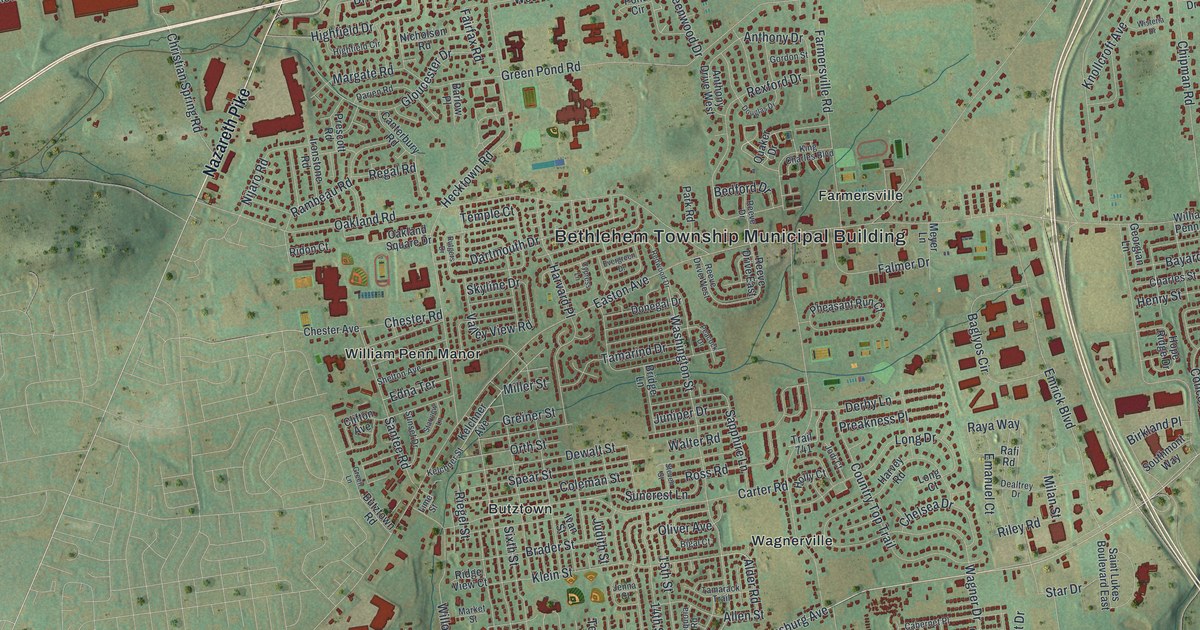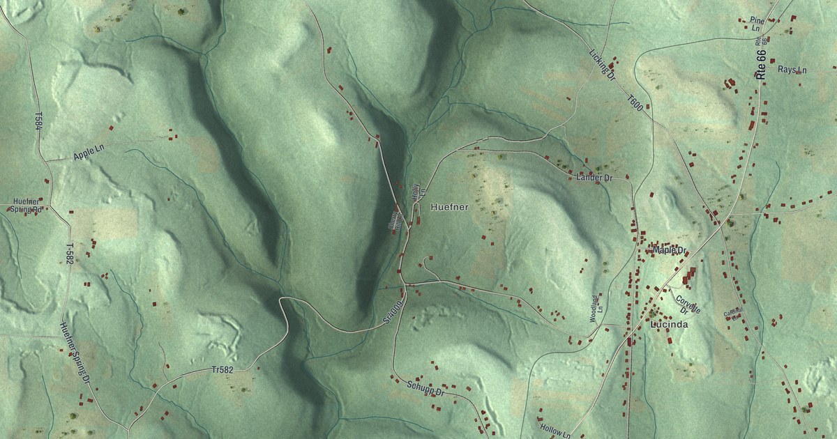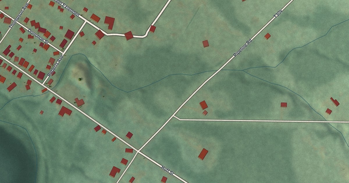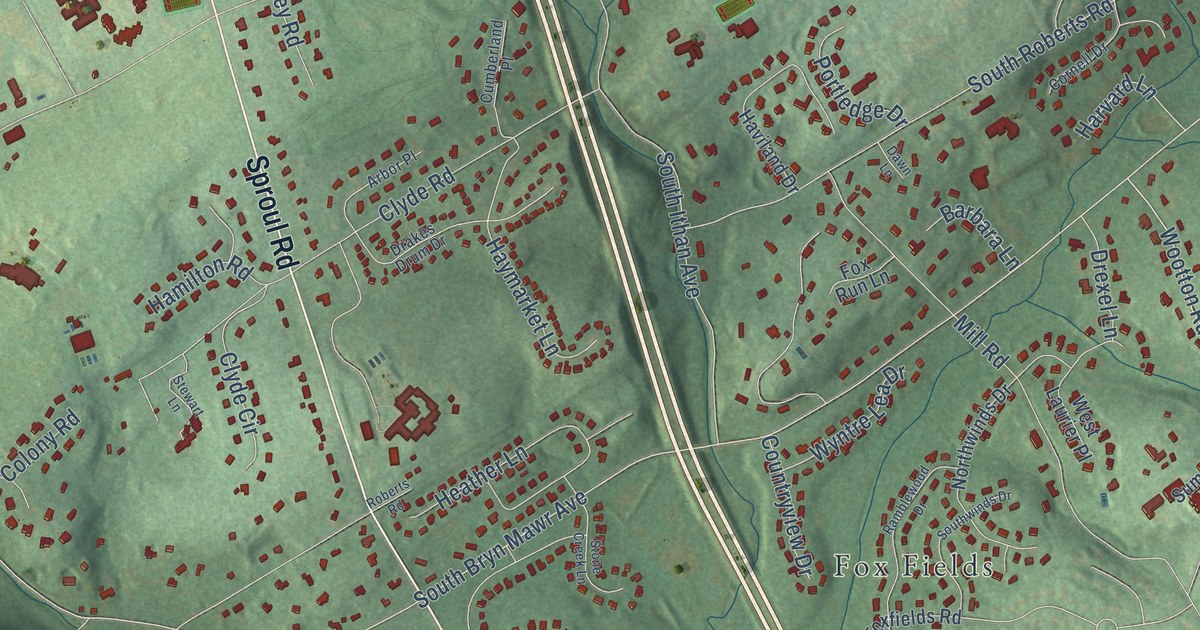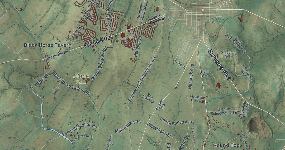
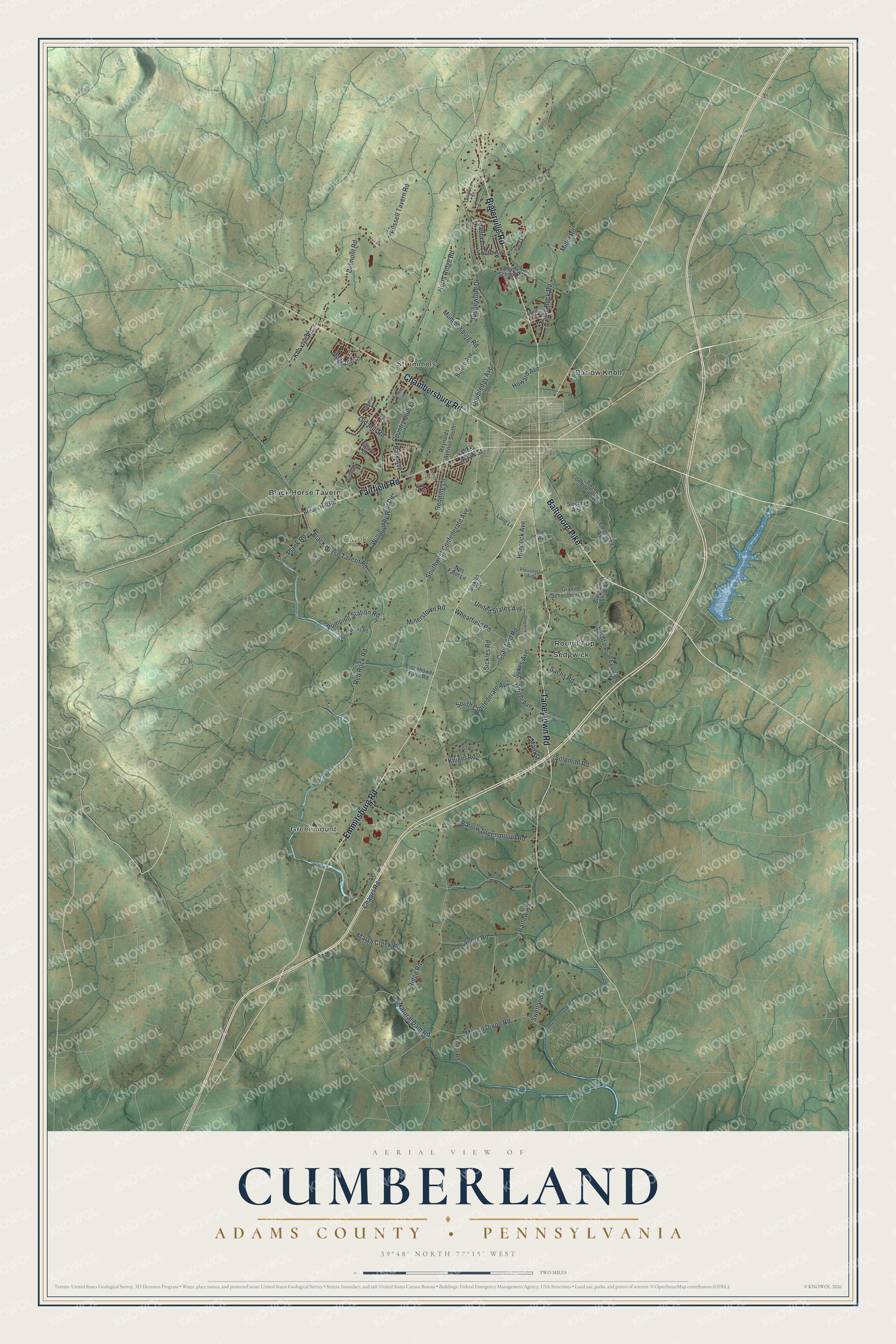
This beautifully detailed map of Cumberland, Adams County, Pennsylvania was created in 2026 using aerial imagery combined with modern topographical, census, street and landmark data. It’s a one-of-a-kind view of Cumberland that combines accurate data with a vintage aesthetic. The map shows every building in its true location, many of the roads carry their names, and the shaded topographic relief shows the shape of the land.
Explore an aerial view of Cumberland, Adams County, Pennsylvania
On the map you’ll find Greenmount, Plank Farm, Barlow Knoll, Black Horse Tavern, Round Top, Sedgwick, and Stremmels, along with Baltimore Pike, Emmitsburg Road, Taneytown Road, Biglerville Road, Chambersburg Road, and more. If you look closely you can even find your house accurately drawn in its correct location. Zoom in on the preview to look for yours.
Did you know this piece of Cumberland, Adams County, Pennsylvania history?
From the 1886 History of Adams County, Pennsylvania: "The ‘‘Manor of Maske,’’ including all Cumberland Township and the greater part of Freedom, was established in 1740, but squatters were here some years prior to that year."
Take a closer look at the Cumberland, Adams County map
Street and place names on the Cumberland, Adams County, Pennsylvania map
These names are printed on the map of Cumberland, Adams County, Pennsylvania.
Places: Greenmount, Plank Farm, Barlow Knoll, Black Horse Tavern, Round Top, Sedgwick and Stremmels.
Streets and roads: Baltimore Pike, Emmitsburg Road, Taneytown Road, Biglerville Road, Chambersburg Road, Fairfield Road, Southwest Confederate Avenue, Red Rock Road, Pumping Station Road, Knight Road, Millerstown Road, Doubleday Avenue.
More street names, A to Z
Apple Avenue, Barlow Greenmount Road, Barlow Road, Battalion Lane, Belmont Road, Bittern Drive, Black Horse Tavern Road, Blacksmith Shop Road, Boyds School Road, Bream Hill Road, Buford Avenue, Chapel Road, Colgrove Avenue, Country Club Lane, Crawford Road, Dietrick Drive, East Confederate Avenue, Eisenhower Drive, Eisenhower Farm Road, Fox Field Lane, Friendship Lane, Granite Schoolhouse Lane, Hancock Avenue, Herrs Ridge Road, Horner Road, Hospital Road Extended, Howard Avenue, Howe Avenue, Hunt Avenue, Hunters Trail, Ivy Lane, Knoxlyn Road, Laura Lane, Long Lane, Longview Drive, Main Street, Marsh Creek Road, Mason Dixon Road, Miller Road, Mummasburg Road, Natural Dam Road, Nps Farm Lane, Old Mill Road, Palace Drive, Park Avenue, Pegram Street, Plank Road, Pleasanton Avenue, Redding Lane, Reynolds Avenue South, Ridge Road, Ridgewood Drive, Round Top Lane, Russell Tavern Road, Sachs Road, Sedgwick Avenue, Sentz Road, Sickles Avenue, Sickles Road, Slocum Avenue, Solomon Road, South Avenue, South Confederate Avenue, Swetland Road, Sykes Avenue, Table Rock Road, United States Avenue, Water Works Road, West Middle Street, Wheatfield Road, Willoughby Run Road, Wright Avenue.
See the Cumberland, Adams County, Pennsylvania map on a wall
The Cumberland, Adams County map as an 18 x 24 inch print in a black frame.

This beautifully detailed map of Cumberland, Adams County makes an attractive addition to your office, library, or den, and it can even be used to teach children the geography and history of the area. It also makes a great gift for anyone who grew up in Cumberland or moved away. When you’re done exploring, click here to get your copy of the Cumberland, Adams County map.