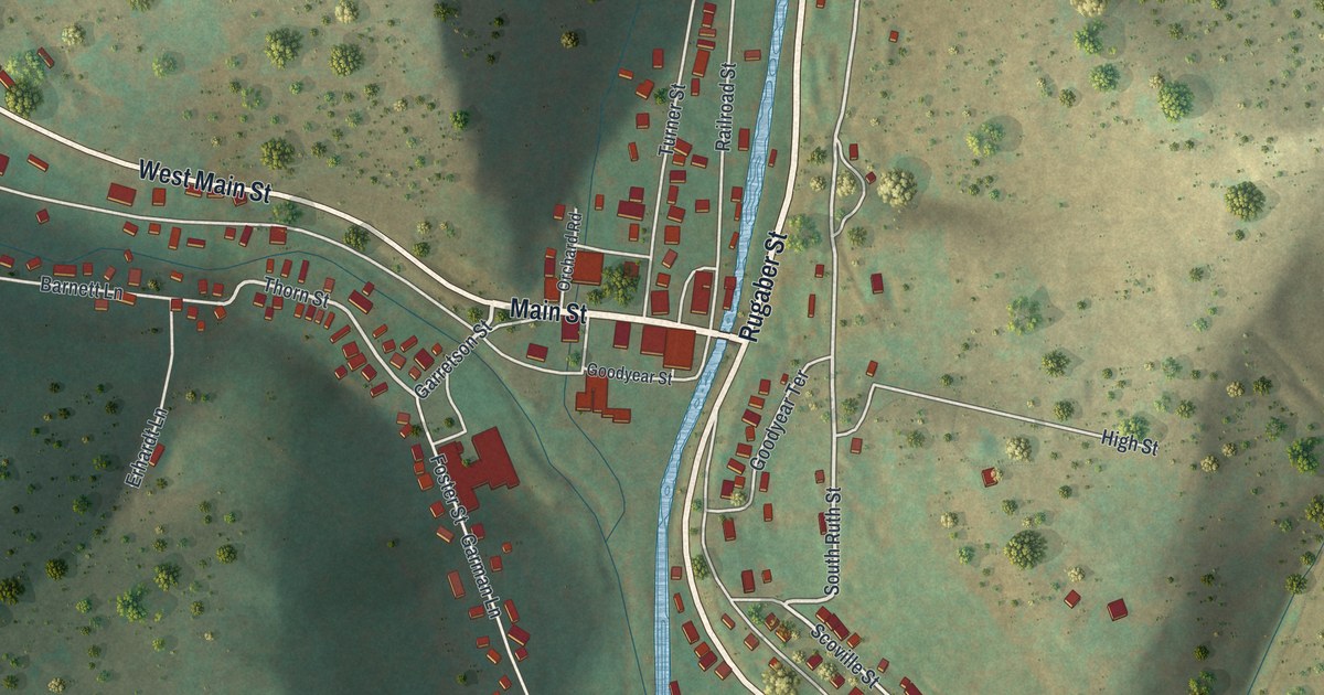
If you grew up in Austin or still have family on one of these streets, this map gives you the whole town in one view. It's a modern aerial view of Austin, a borough in Potter County, Pennsylvania, drawn from modern data with a vintage artistic feel. The creek runs down the middle of the valley in pale blue, about 340 buildings are marked in red, and dark green hillsides close in from both sides. You can pick out the ball diamonds by Costello Road and the houses climbing West Main Street. Explore the print options for Austin.
Rugaber Street, Main Street and Costello Road
Start where Main Street meets Rugaber Street at the creek, right in the middle of the sheet. Rugaber Street runs north along the east bank. Turner Street and Railroad Street sit across the water, and North Ruth Street climbs the slope to the east. Now head west. Main Street turns into West Main Street and climbs the long valley toward the top left, with Thorn Street running just below it. Garretson Street and Goodyear Street both branch off Main. Back at Rugaber Street, Costello Road heads southeast past the ball diamonds, with Scoville Street and School Street alongside and McCoy Hollow Road branching off near the bottom edge. High Street climbs east into the hills. Many of the streets are labeled and each red shape is a building, so zoom in on the preview and look for yours.
Austin grew up fast. An 1890 county history dates the town to the fall of 1886, when work began on two big sawmills. Oliver S. Garretson, who owned furniture and foundry works in Buffalo, bought the hardwood on the tract, so the plan became a double mill: hardwood for Garretson, hemlock for Mr. Goodyear. The new town was laid out with Mr. Austin's house as the central point. His garden, which the history calls one of the finest in the country, had to be given up for the mill pond. The hemlock mill piped its condensed steam into that pond, so it never froze over, even in the coldest weather. By February 1887 there were 700 people here, and Austin became a borough on June 14, 1888.
A state historical marker on Rugaber Street tells what happened twenty-five years after the mills went up. On September 30, 1911, the Bayless Pulp and Paper Co. dam broke. It was a concrete dam built in 1909, nearly fifty feet high and 534 feet long. Its water and debris came down Freeman Run into Austin and Costello. At least 78 people were killed. The marker calls it the second worst single-dam disaster in Pennsylvania, and it led to a 1913 state law regulating how dams are built. Neither the dam nor Freeman Run is labeled on this sheet, but the creek is the blue ribbon running right beside Rugaber Street. Follow it down through town and you're following the path of the flood.
For someone who knows Rugaber Street and Freeman Run
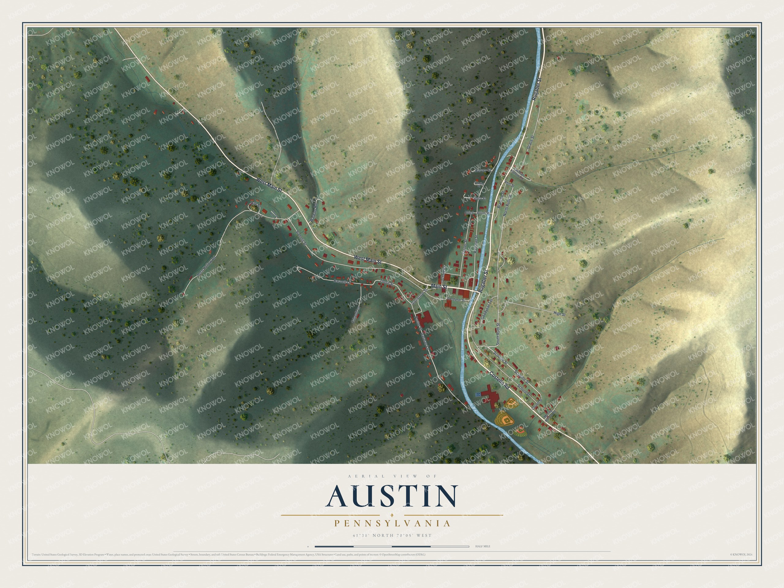
Created by KNOWOL in 2026, this map of Austin fits a kitchen, a den or an office wall. The hills are shaded from USGS elevation data, and the streets come from Census Bureau records. The title panel reads "Aerial View of Austin, Pennsylvania," with the coordinates 41°38' North, 78°05' West and a half-mile scale bar.
Give it to someone who grew up in Austin and moved away, or whose family goes back to the mill years. Open the preview, zoom in and find the street you know. Shop the Austin, Pennsylvania map.