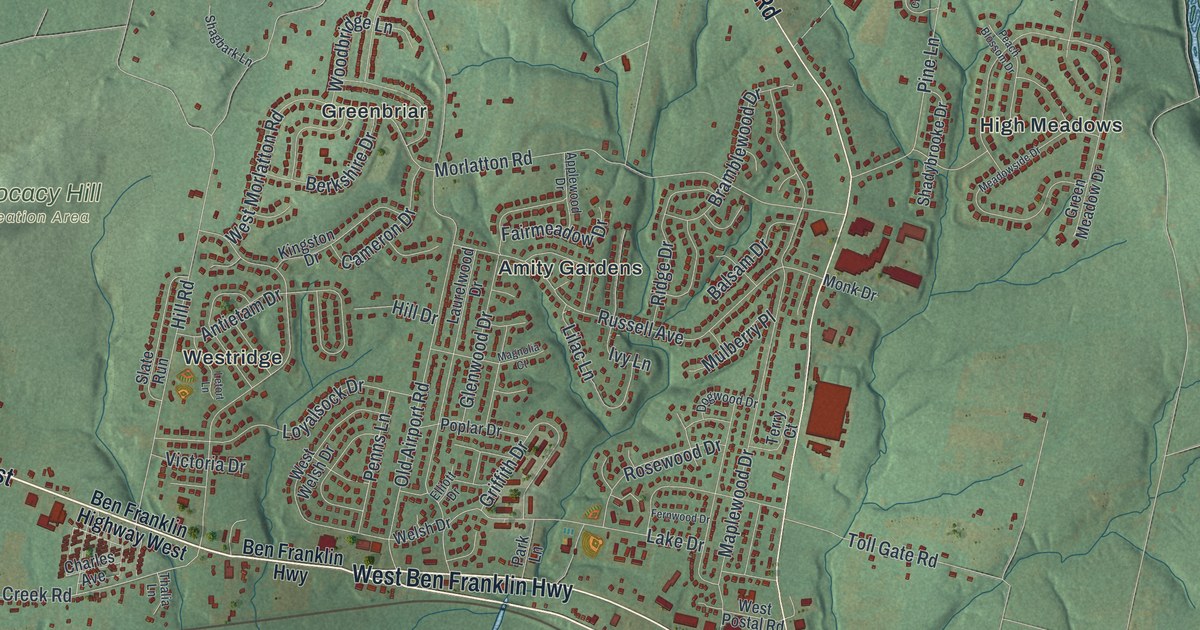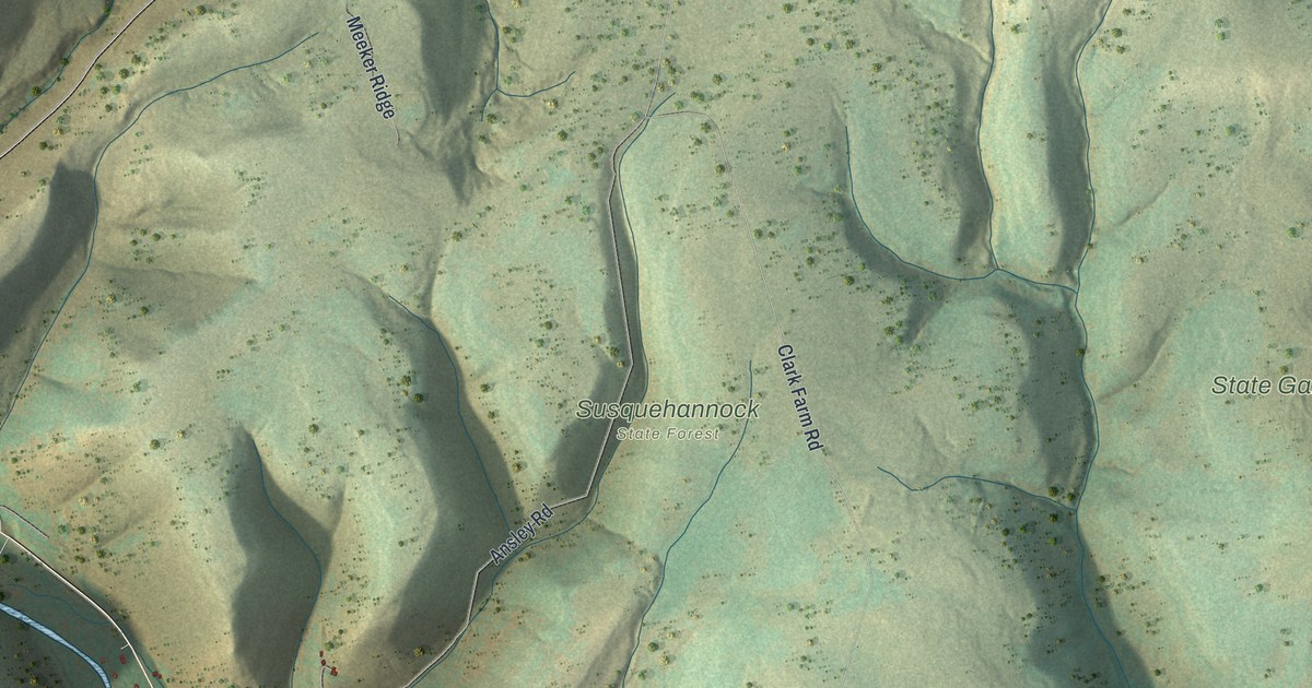
If you grew up near West Pike, drove Rte 6 West to school, or have a camp up on Meeker Road, this map covers the hills you know. It's a modern aerial view of Pike Township in Potter County, Pennsylvania, made from modern data and given a vintage look. Deep hollows fall away in dark green shadow, and the ridges between them are shaded in sand and pale green. About 1,080 buildings are marked in red, most of them strung along the valley roads. Susquehannock State Forest and State Game Lands Number 64 are both named in the middle of the sheet. Explore the print options for Pike, Potter County.
From West Pike down Rte 6 West
Start at West Pike, printed on the left side of the map. Loucks Mills Road comes down into the village from the top left corner, and Hardscrabble Road branches off it near the top. Old Rte 6 passes right through West Pike. Now follow Rte 6 West as it runs southeast down the long valley toward the bottom of the sheet. Near the bottom, the label changes to Grand Army of the Republic Highway, and the road turns east. Smith Lane and Johnson Brook Road meet it in the lower right, with Yahn Road and Fiero Road close by. Go back to West Pike and take Meeker Road instead. It climbs northeast past Meeker Ridge and Pike Summit Road, all the way to Phoenix Run Road in the top right corner. Many of the roads are labeled, and each red shape is a building, so zoom in on the preview and look for yours.
The stream beside Rte 6 West isn't labeled. An 1890 county history names it as Pine Creek. It says the Genesee Fork flows south along the west side of the township and joins Pine Creek at West Pike. From there Pine Creek heads southeast through the township and on into Tioga County. That's the blue line you can follow on the map, down the same valley as the highway.
The same history tells what one traveler thought of this valley. In 1826 Orlo J. Hamlin was on his way to Smethport. He stopped at noon at the Phoenix Tavern on Pine Creek. During dinner he heard hounds. He looked up the trail toward a sawmill and saw a man running at full speed. The man had a rifle in one hand and a powder horn in the other. He had no hat, and his coat of many colors was torn. Hamlin took him as a bad sign for the new country. He called the Pine Creek valley narrow, steep, rough and rocky, and not fit for farming. By 1890 the same book called West Pike the trading center of "a limited but rich agricultural district." James Ives and I.S. Baldwin ran large general stores there.
For someone who knows West Pike and Meeker Road
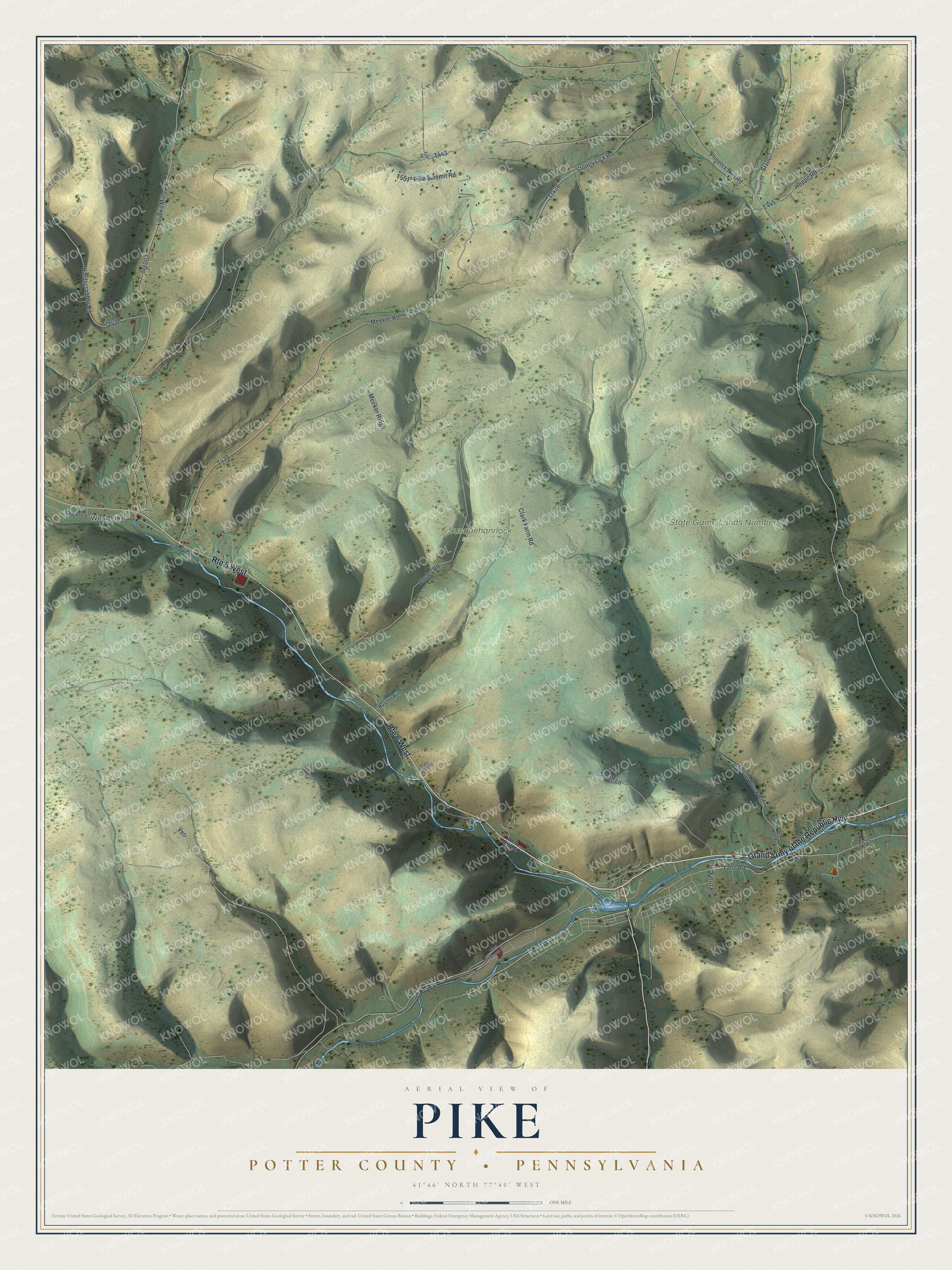
Created by KNOWOL in 2026, this Pike map suits a den, an office or a camp wall, where the hollows read from across the room. Up close, the back roads and single houses come clear. The shaded hills come from USGS elevation data, and the roads come from Census Bureau records. The title panel reads "Aerial View of Pike, Potter County, Pennsylvania," with the coordinates 41°46' North, 77°40' West and a one-mile scale bar.
It's a thoughtful gift for someone who grew up in Pike Township, moved away from Potter County, or still has family out on these roads. Open the watermarked preview, find West Pike and follow Rte 6 West down the valley. Shop the Pike, Potter County, Pennsylvania map.