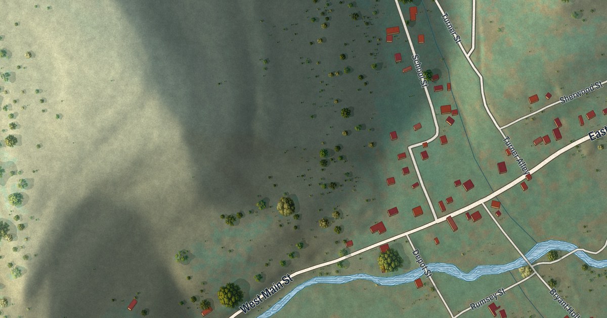
If you grew up in Oswayo or still have family on East or West Main Street, this map shows the whole borough on one sheet. It's a modern aerial view of the Borough of Oswayo in Potter County, Pennsylvania, made from modern data with a vintage look. Shaded hills rise on both sides of a narrow valley. A creek winds along the valley floor, and about 130 buildings are marked in red where the streets meet. Explore the print options for the Borough of Oswayo, Potter County.
East Main Street, School Street and Depot Street in Oswayo
Start in the middle of town, where West Main Street turns into East Main Street. That's where most of the red buildings sit. Follow West Main Street southwest and it runs beside the creek all the way to the bottom left corner. Toad Hollow Road is down there too. Now go back and follow East Main Street northeast. Rose Lake Road carries on toward the top right edge. Just off East Main, Sherwood Street runs east from Pinneo Hill Road. Back in the center, School Street heads north past Turner Street and Turner Alley. It climbs toward Johnson Hollow Road near the top. South of the creek, Depot Street runs down to Rumsey Street and Maple Street. Bryant Hollow heads off toward the bottom right. The creek isn't labeled, but you can't miss it. Many of the roads are named, and each red mark is a building, so zoom in on the preview and look for yours.
Oswayo shows up in an 1890 history of Potter County. It says a log schoolhouse stood in the village about 1840. It was taken away before 1849, maybe in 1847, to make room for William McDougall's store. That was the first store in Oswayo. In 1866 the school district built the Oswayo graded school. It burned in February 1876. The book counts 321 people in the village in 1880 and guesses about 500 by 1890. The 2020 census counted 134 people in the borough.
The same book mentions some interesting boulders near the village. The writer wasn't sure if they came from the nearby hills or from somewhere unknown. The map doesn't mark the boulders or the old school. It does print School Street, and the shading shows how steep those hills are on each side of the valley.
For anyone who knows East Main Street and School Street
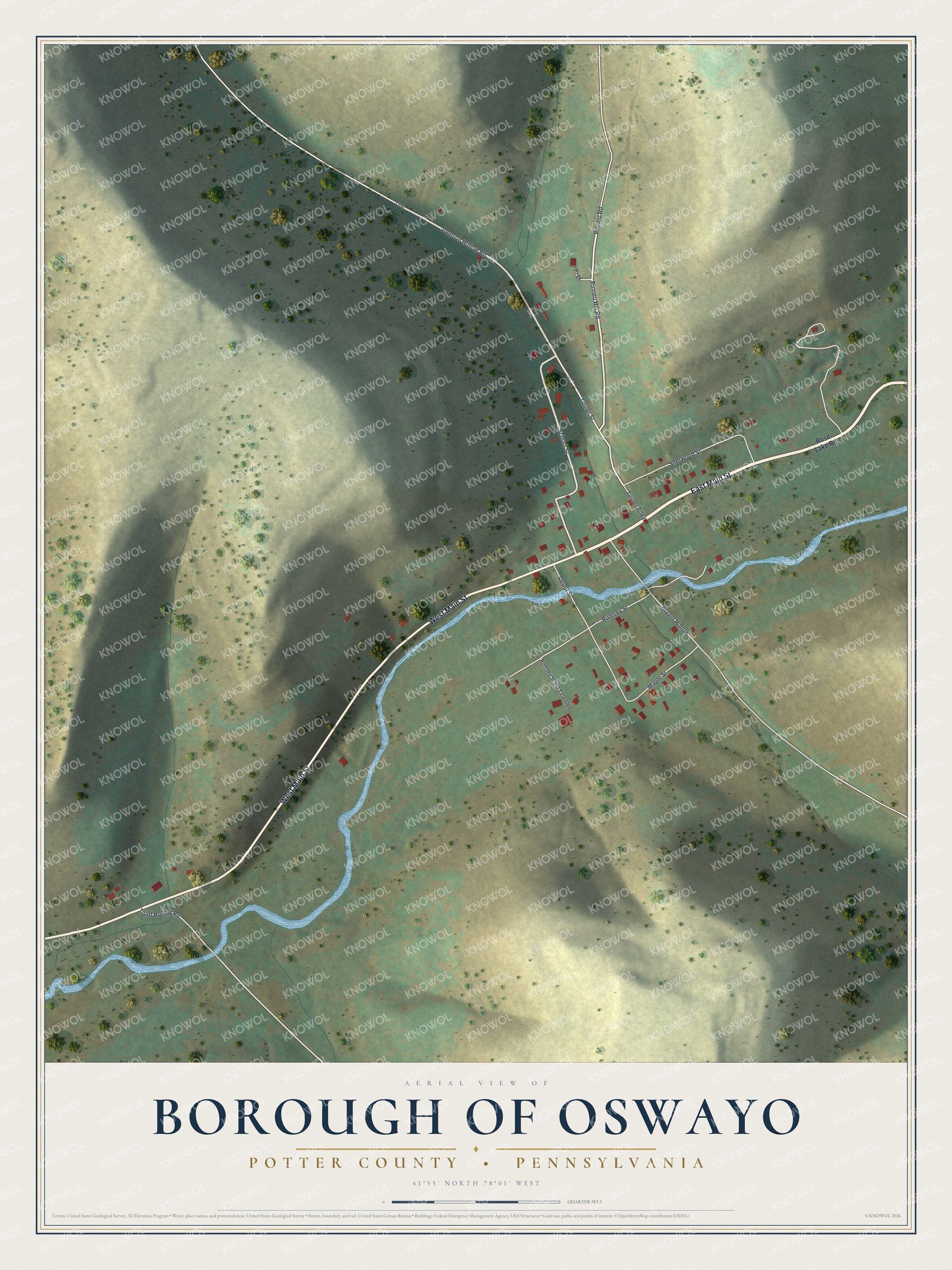
Created by KNOWOL in 2026, this map of Oswayo fits a kitchen, a den or a camp wall. The hills are shaded from USGS elevation data, so the valley shows its real shape. The title panel reads "Aerial View of Borough of Oswayo, Potter County, Pennsylvania," with 41°55' North, 78°01' West and a quarter-mile scale bar.
It's a thoughtful gift for someone who grew up on School Street, has family near Depot Street, or moved away and still thinks of this valley. Open the preview, zoom in and find the house you know. Shop the Borough of Oswayo, Potter County, Pennsylvania map.