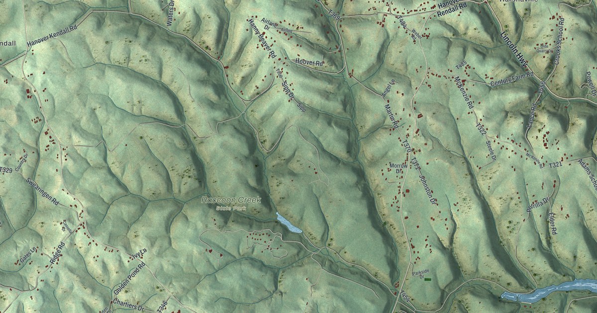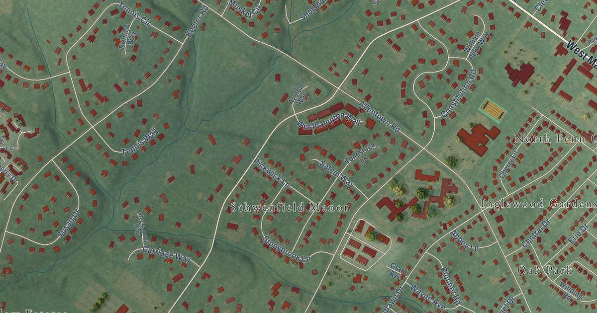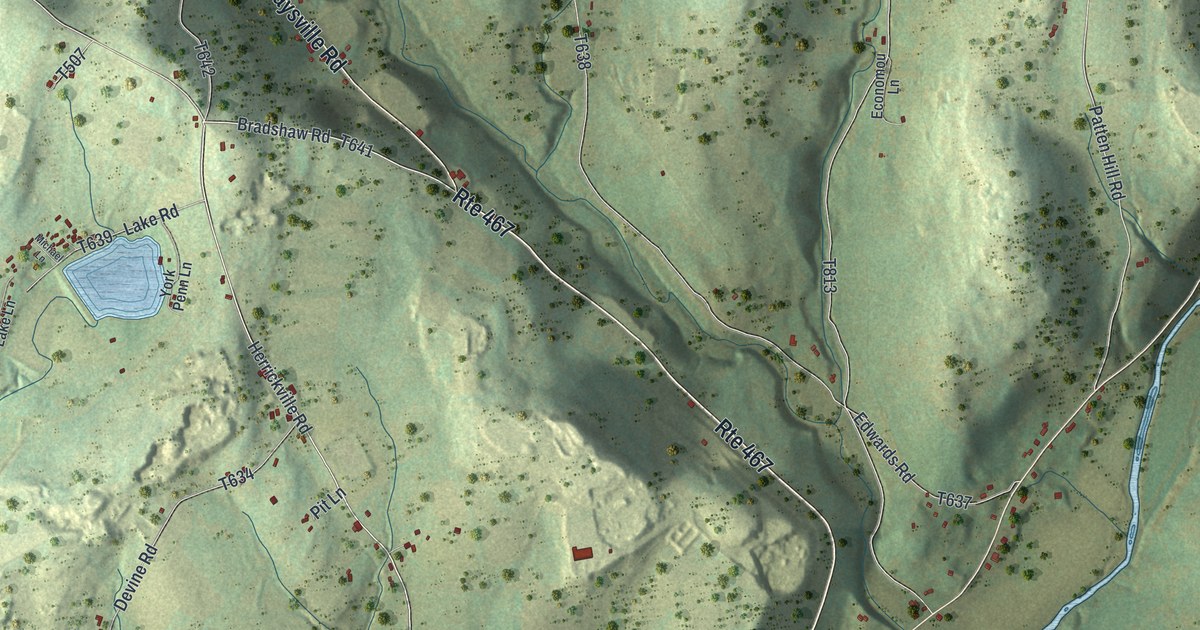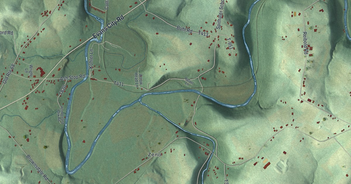
This beautifully detailed map of Forward, Butler County, Pennsylvania was created in 2026 using aerial imagery combined with modern topographical, census, street and landmark data. It’s a one-of-a-kind view of Forward that combines accurate data with a vintage aesthetic. The map shows every building in its true location, many of the roads carry their names, and the shaded topographic relief shows the shape of the land.
Explore an aerial view of Forward, Butler County, Pennsylvania
On the map you’ll find Wahlville, Watters, Buhls Station, Ribold, and Zeno, along with Prospect Road, Evans City Road, Reibold Road, Kohler Lane, Mars Evans City Road, Wagner Road, and more. If you look closely you can even find your house accurately drawn in its correct location. Zoom in on the preview to look for yours.
Did you know this piece of Forward, Butler County, Pennsylvania history?
From the 1895 History of Butler County, Pennsylvania: "The Mahoning sandstone on the Ifl't farm has been quarried, and the Butler limestone on the Wahl lands has been burned."
Take a closer look at the Forward, Butler County map
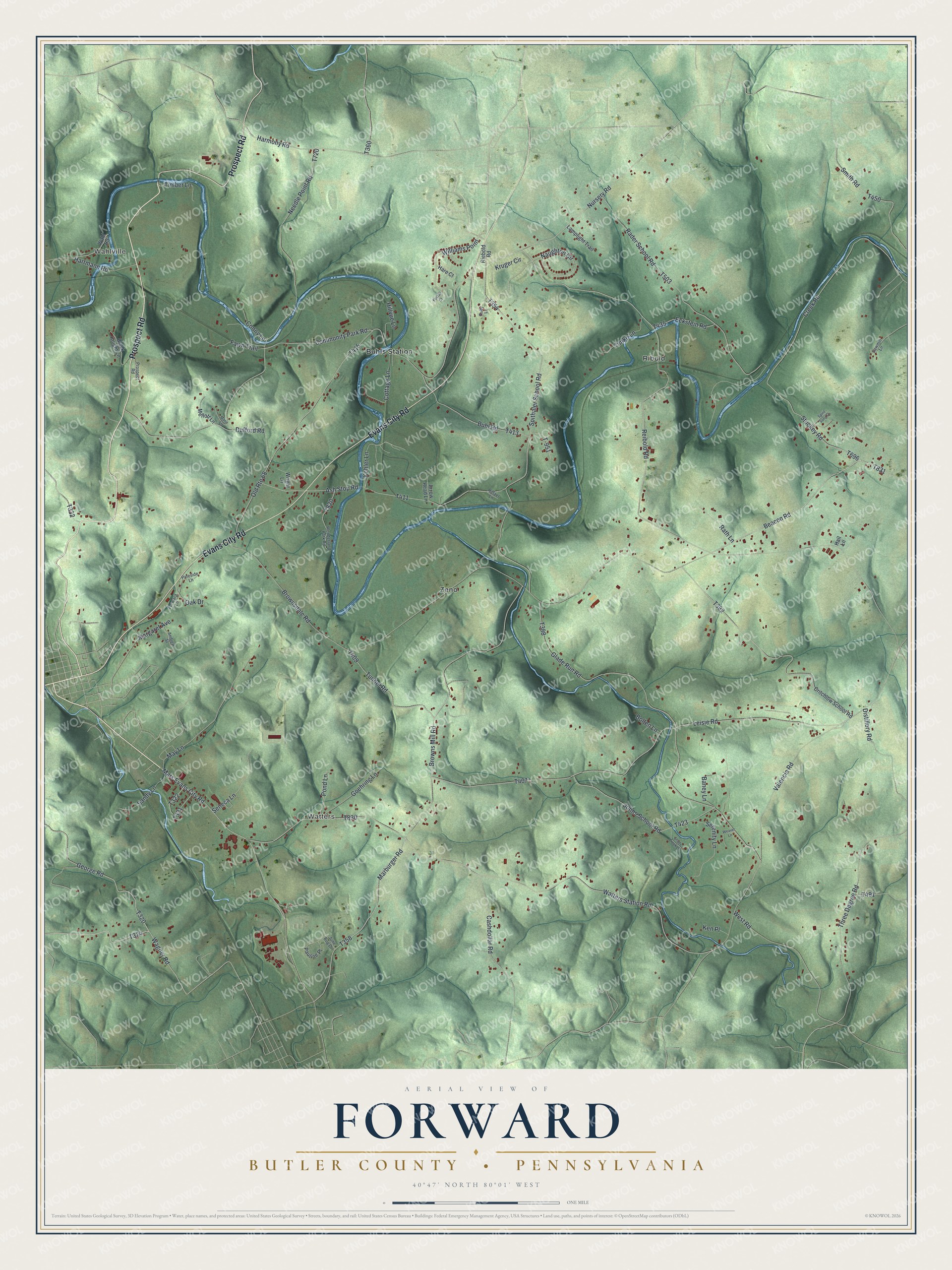
Street and place names on the Forward, Butler County, Pennsylvania map
These names are printed on the map of Forward, Butler County, Pennsylvania.
Places: Wahlville, Watters, Buhls Station, Ribold and Zeno.
Streets and roads: Prospect Road, Evans City Road, Reibold Road, Kohler Lane, Mars Evans City Road, Wagner Road, Beacon Road, Williams Point, Valencia Road, George Road, Harmony Road, Marburger Road.
More street names, A to Z
Andrew Street, Arrow Head Lane, Ash Stop Road, Baney Lane, Black Knight Lane, Bolten Lane, Brownsdale Road, Browns Mill Road, Buhl Road, Cashdollar Road, Community Park Road, Conny Lane, Cottage Lane, Creek Road, Critchlow School Road, Distillery Road, Dufford Road, Eckstein Road, Fawn Trail, Forward Lane, Foxtail Court, Glade Run Road, Goehring Lane, Hall Lane, Hare Court, Hartmann Road, Hillvue Lane, Johns School Road, June Bug Drive, Ken Place, Kruger Circle, Lamplight Trail, Leisie Road, Margaret Avenue, Marie Lane, May Lane, Mellott Lane, Naughton Circle, Needle Point Road, Nursery Road, Oak Drive, Old Route 68, Pauline Place, Pineside Lane, Pond Lane, Rader School Road, Rafael Lane, Rath Lane, Riebold Road, Ruby Lane, Sandy Lane, Sawmill Lane, Seneca Lane, Serenity Lane, Shady Creek Lane, Smith Road, Spirit Song Drive, Spithaler School Road, Stuckey Road, T-951, Three Degree Road, Timber Lane, Timko Lane, Tunnel Road, Wahl Road, Watters Station Road, Weaver Lane, West Road, Wonderland Park Road, Wright Lane.
See the Forward, Butler County, Pennsylvania map on a wall
The Forward, Butler County map as an 18 x 24 inch print in a black frame.

This beautifully detailed map of Forward, Butler County makes an attractive addition to your office, library, or den, and it can even be used to teach children the geography and history of the area. It also makes a great gift for anyone who grew up in Forward or moved away. When you’re done exploring, click here to get your copy of the Forward, Butler County map.