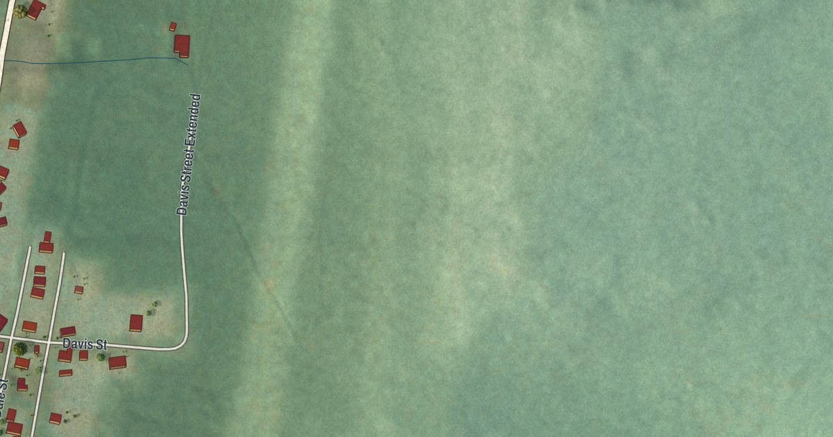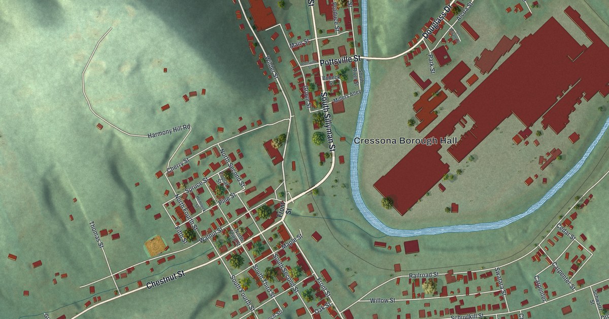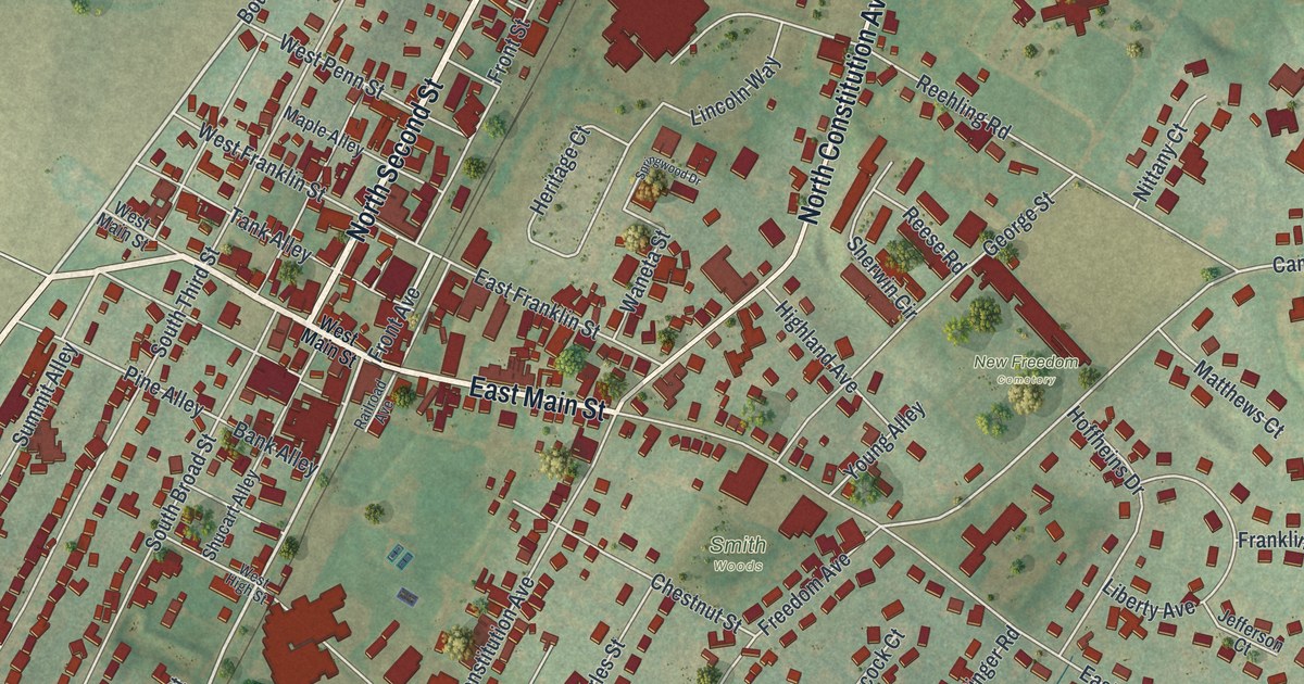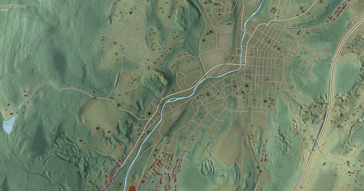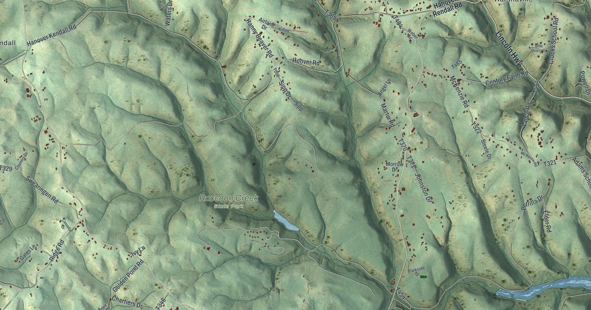
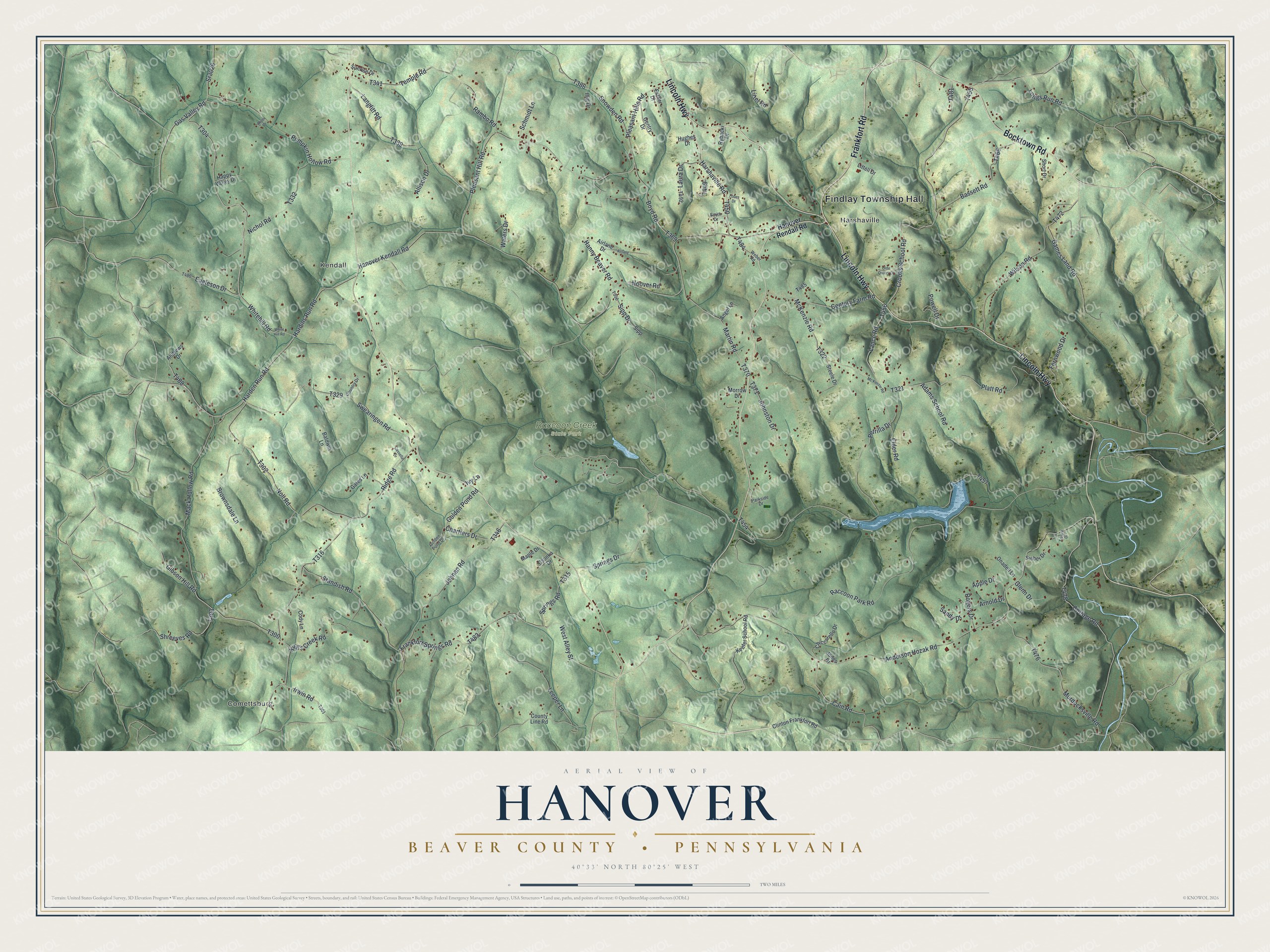
This beautifully detailed map of Hanover, Beaver County, Pennsylvania was created in 2026 using aerial imagery combined with modern topographical, census, street and landmark data. It's a modern aerial view of Hanover, Beaver County in Beaver County, Pennsylvania, that combines modern data with a vintage aesthetic. The roads feature printed names, and if you look closely you can find your exact house accurately shown in its correct location.
Explore an aerial view of Hanover, Beaver County, Pennsylvania
On this map you'll find Findlay Township Hall, Comettsburg, Kendall, Harshaville, Raccoon Creek State Park, Frankfort Road, Lincoln Highway, Bocktown Road, Hardins Run Road, Harden Run Road, Whitehill Road, T304, and more. Each red shape is a building, so zoom in on the preview and look for yours.
Hanover, Beaver County is a place in Beaver County. The Census Bureau counted 3,343 people here in 2020. The map prints the town name in its title panel, with the coordinates below it.
Take a closer look at the Hanover, Beaver County map
Names on this map
These names are printed on this map.
Places: Findlay Township Hall, Comettsburg, Kendall, Harshaville and Raccoon Creek State Park.
Streets and roads: Frankfort Road, Lincoln Highway, Bocktown Road, Hardins Run Road, Harden Run Road, Whitehill Road, Swearingen Road, Gibson Hill Road, Mack Hollow Road, McKenzie Road, Langfitt Road, Cain Road.
More street names, A to Z
Adams School Road, Airlane, Airlane Drive, Allison Drive, Anderson Hozak Road, Andrews Drive, Angel Lane, Apple Drive, Arnold Drive, Baldwin Lane, Bassett Road, Boyd Road, Brownsdale Lane, Cassella Drive, Century Farm Road, Chartiers Drive, Chiccarello Drive, Clinton Frankfort Road, Cody Lane, Cottage Road, Country Drive, County Line Road, Crooks School Road, Csonka Drive, Eagleson Drive, Elder Road, Esther Drive, Fernwood Drive, Fobes Drive, Frankfort Springs Road, Games Land Road, Gas Valley Road, Gates Lane, Gentry Drive, Glenn Drive, Golden Pond Drive, Golden Pond Road, Hanny Beaver Road, Hanover Kendall Road, Hanover Rendall Road, Happy Valley Drive, Harshaville Road, Hoover Road, Hughes Drive, Illig Drive, Irwin Road, Ivy Lane, Johnan Road, Johnston Drive, Jones Drive, Keefer School Road, Kings Creek Road, Lance Road, Laura Drive, Leeper Lane, Littell Drive, Littel Road, Longs Run Road, Maple Drive, Martin Road, Mc Kenzie Road, Miller Drive, Morrow Drive, Murdocksville Road, Nichol Road, Noll Road, Olde Quarry Drive, Onadell Lane, Parkside Drive, Petrilla Drive, Platt Road, Pleasant Hill Road, Pleasant Hills Road, Powell Drive, Pumpkin Hollow Road, Raccoon Park Road, Rambo Road, Ridge Road, Rogers Drive, Rybacki Drive, Sandy Drive, Schmidt Lane, Short Drive, Shreeves Road, Sieber Drive, Sipp, Sipp Drive, Smith Drive, Snowden Road, Springs Drive, Springs Road, Sr3026, Standish Road, Steele Drive, Sunrise Drive, Temple Road, Truxell Drive, Waters Drive, Weber Road, West Alley Street, White Hill Road, Wilson Road.
Created by KNOWOL in 2026. The buildings are small red shapes, the roads carry their printed names, and shaded relief shows the shape of the land. The title panel reads "AERIAL VIEW OF HANOVER BEAVER COUNTY • PENNSYLVANIA" with 4, 0, °, 3, 3, ', , N, O, R, T, H, , 8, 0, °, 2, 5, ', , W, E, S, T.
Hang it in the hallway, the office or the cabin, or give it to someone who left Hanover, Beaver County and still calls it home. Open the preview and look for a street you know. See sizes and frames for the Hanover, Beaver County map.