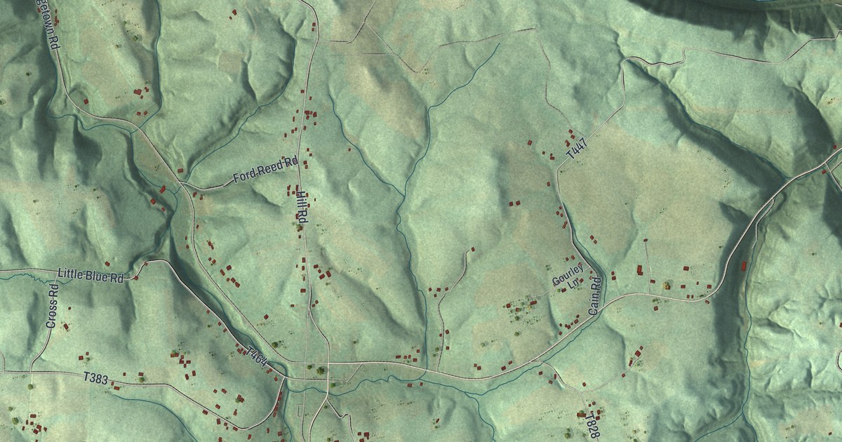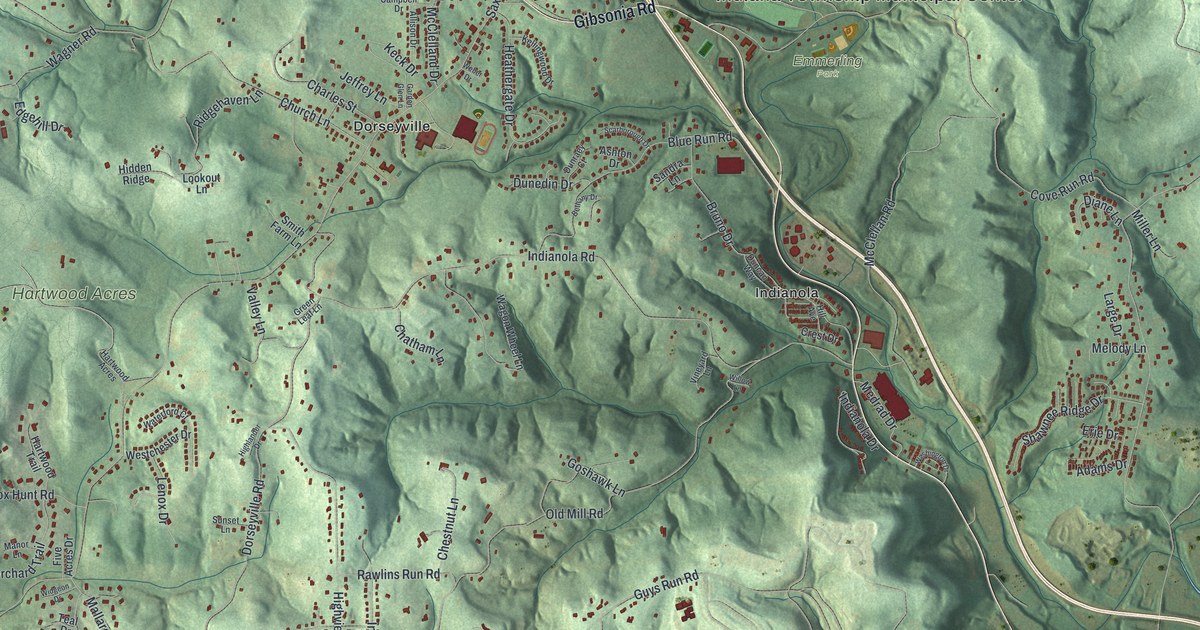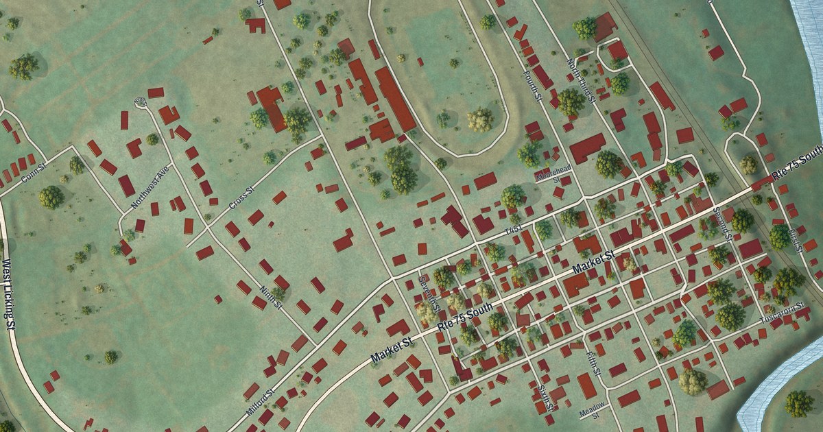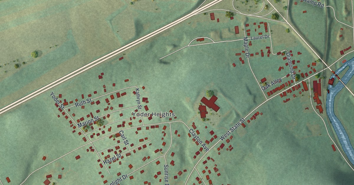
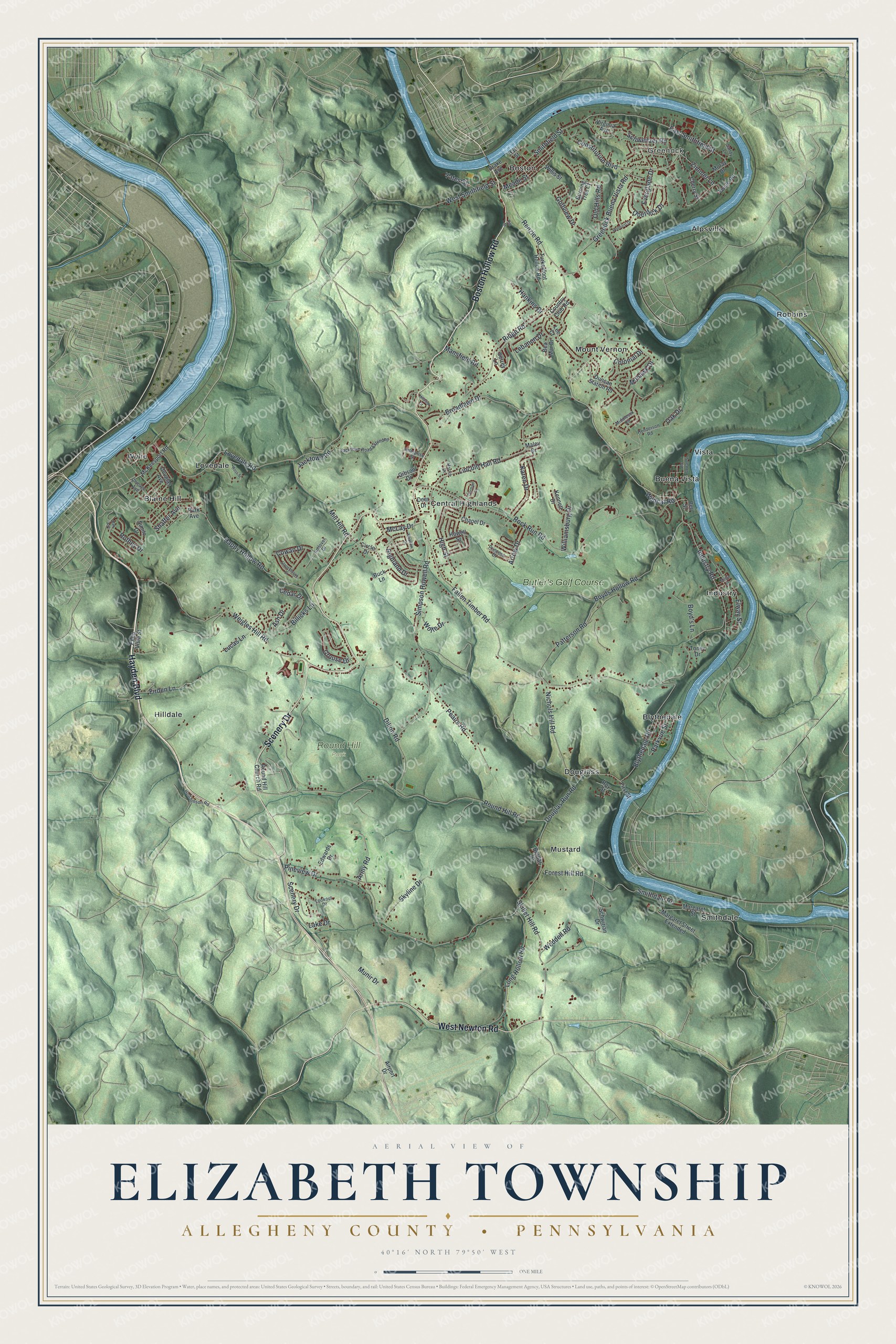
This beautifully detailed map of Elizabeth Township, Allegheny County, Pennsylvania was created in 2026 using aerial imagery combined with modern topographical, census, street and landmark data. It’s a one-of-a-kind view of Elizabeth Township that combines accurate data with a vintage aesthetic. The map shows every building in its true location, many of the roads carry their names, and the shaded topographic relief shows the shape of the land.
Explore an aerial view of Elizabeth Township, Allegheny County, Pennsylvania
On the map you’ll find Greenock, Round Hill Park, Alpsville, Blaine Hill, Blythedale, Boston, Buena Vista, Central Highlands, Douglass, Hilldale, Industry, Lovedale, and more. If you look closely you can even find your house accurately drawn in its correct location. Zoom in on the preview to look for yours.
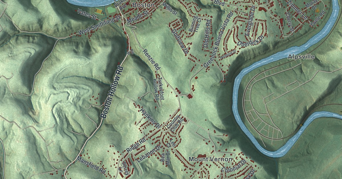
Take a closer look at the Elizabeth Township, Allegheny County map
Street and place names on the Elizabeth Township, Allegheny County, Pennsylvania map
These names are printed on the map of Elizabeth Township, Allegheny County, Pennsylvania.
Places: Greenock, Round Hill Park, Industry, Lovedale, Smithdale, Mount Vernon, Blythedale, Central Highlands, Hilldale, Robbins, Mustard, Douglass, Buena Vista, Boston, Blaine Hill, Alpsville, Wylie, Vista and Butler's Golf Course.
Streets and roads: Boston Hollow Road, Scenery Drive, Hayden Boulevard, West Newton Road, Greenock Buena Vista Road, Renzie Road, Ridge Road, Parkvue Street, Industry Road, Hankins Drive, Round Hill Road, Lovedale Road.
More street names, A to Z
Airport Drive, Andover Drive, Army Road, Arrow Drive, Ash Drive, Bea Mar Drive, Bell Street, Berdar Drive, Billicks Lane, Blythedale Road, Boyd's Lane, Boyds Hollow Road, Broadlawn Drive, Buck Lane, Burning Tree Court, Cedar Drive, Chapel Drive, Cherry Street, Chicago Avenue, Circle Drive, Colonial Drive, Constitution Boulevard, Country Club Road, Cowan Drive, Deer Drive, Dillon Road, Dorman Drive, Douglas Avenue, Douglas Run Road, Drake Avenue, Duncan Station Road, East Smithfield Street, Edwards Drive, Elway Street, Enterprise Street, Everglade Drive, Fallen Timber Road, Firden Lane, First Street, Forest Hill Road, Gibson Drive, Golfview Drive, Grouse Drive, Happy Hollow Road, Harris Drive, Hart Street, Henderson Road, Highland Drive, High Street, Hillview Drive, Howell Street, Hutchinson Road, Jacktown Road, Jacktown Road Extended, Karen Drive, Kennett Drive, Lake Drive, Lebanon Drive, Lee Court, Lincoln Hall Road, Long Hollow Road, Lookout Drive, Lucas Lane, Maley Drive, Mansfield Road, Margaret Street, Margaret Street Extended, Mc Gowan Street, McKeesport Road, McLay Drive, Meade Street, Meadow Drive, Middlesex Road, Mill Hill Road, Milton Street, Mohawk Drive, Moray Drive, Munir Drive, Nichols Hill Road, Oak Avenue, Oak Drive, Oberdick Drive, Old Hills Road, Park Avenue, Patterson Road, Peairs Road, Penhurst Drive, Penn Vista Street, Pineview Drive, Pitt Street, Princess Drive, Rock Run Road, Ross Street, Rothey Drive, Round Hill Church Road, Roy Street, Sandy Lane, Schweitzer Road, Schwirian Drive, Shaffer Avenue, Similo Drive, Simpson Howell Road, Skillet Hill Road, Skyline Drive, Smithdale Road, Smithfield Street, Stoneybrook Drive, Surrey Lane, Toney Drive, Turkeyfoot Hollow Road, Twele Road, Virginia Avenue, Weddell Road, Weigles Hill Road, West Smithfield Street, Wildcat Road, Williamsburg Drive, Willis Street, Wolfe Drive, Yates Street, Zimmer Lane.
See the Elizabeth Township, Allegheny County, Pennsylvania map on a wall
The Elizabeth Township, Allegheny County map as an 18 x 24 inch print in a black frame.

This beautifully detailed map of Elizabeth Township, Allegheny County makes an attractive addition to your office, library, or den, and it can even be used to teach children the geography and history of the area. It also makes a great gift for anyone who grew up in Elizabeth Township or moved away. When you’re done exploring, click here to get your copy of the Elizabeth Township, Allegheny County map.