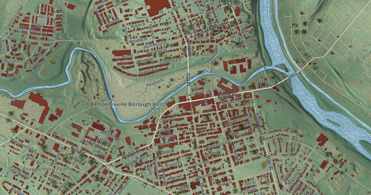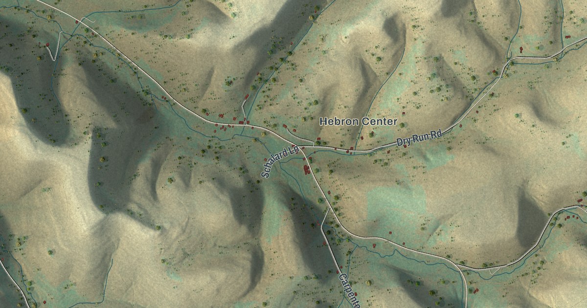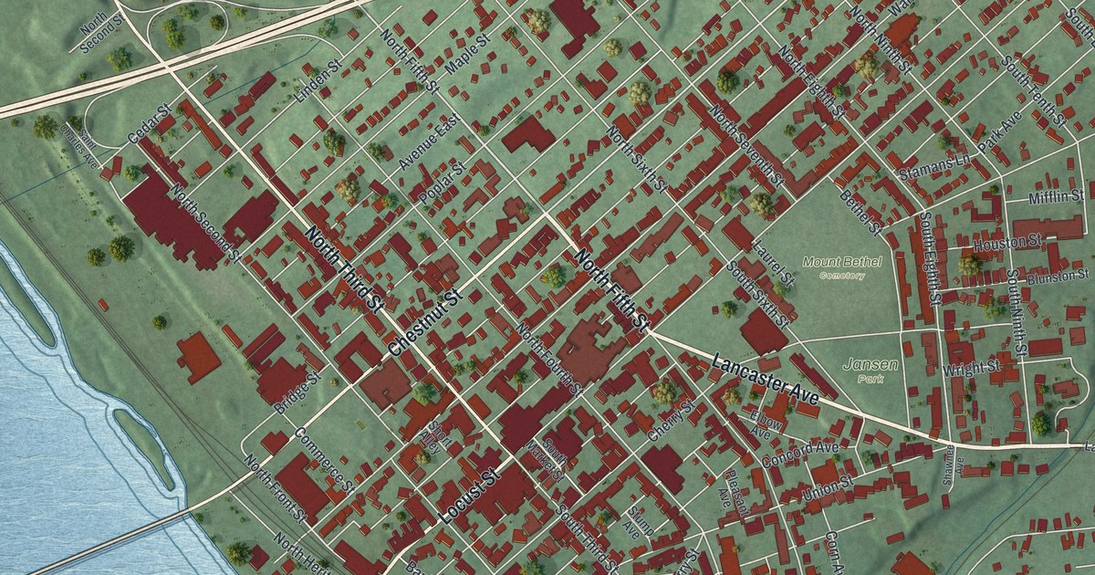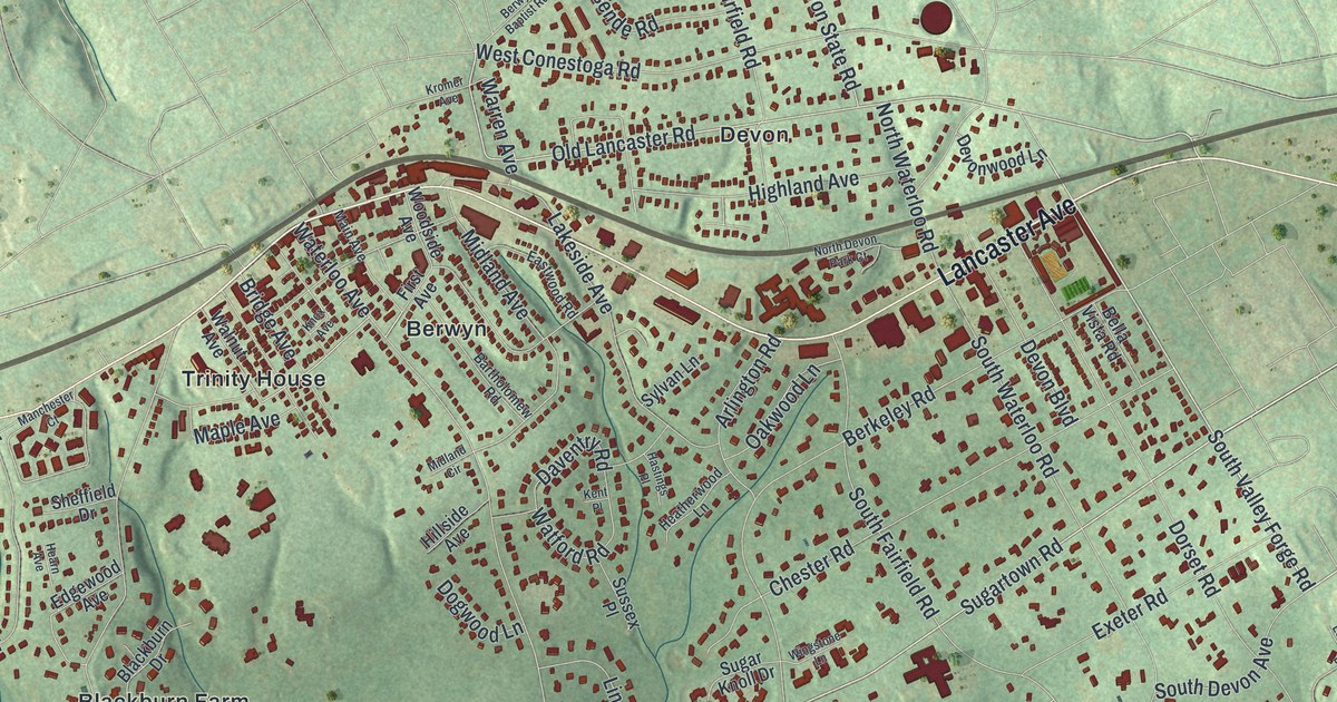
If you grew up in Berwyn, Devon or Daylesford, or you still drive Sugartown Road to work, this map will look familiar. It's a modern aerial view of Easttown Township in Chester County, Pennsylvania, made from modern data and given a vintage artistic feel. About 10,900 buildings are drawn in deep red on soft green hills. Lancaster Avenue crosses the top of the sheet, and the streets spread south to Buttonwood Farms. Explore the print options for Easttown.
From Berwyn to Leopard and Creek Road
Start at Berwyn, printed near the top of the map beside Lancaster Avenue. Old Lancaster Road runs across the top too, out toward Devon. Now take Waterloo Avenue south, past Trinity House, down to Sugartown Road. Turn right and follow Sugartown Road west past Waynes Brooke and Blackburn Farm. Daylesford sits just to the northwest, off Berwyn Paoli Road. From Sugartown Road, head south on Leopard Road past Leopard Farms. Leopard Lakes is a little to the east. Leopard Road comes out at Creek Road, near the label for Leopard. That road is also printed as Darby Paoli Road. Follow it southeast past Waynesborough Woods, then turn onto Beaumont Road. It runs past Hilltop Park and the Easttown Township Municipal Facility toward Devon Hunt. Many of the roads are labeled, and each red shape is a building, so zoom in on the preview and look for yours.
Glassley, the town planned near Berwyn in 1800
Easttown was started about 1704, and it was settled by Welsh families. That's according to an 1881 history of Chester County. The same book tells about a town that stayed mostly on paper. In 1800, Robert McClenachan laid out a town on the turnpike near what's now Berwyn. It was called Glassley. The plan began at the old Lancaster Road, which was also called High Street. Then came North, Turnpike, South and Pearl Streets. Cross streets ran from Green to Harrison, Franklin, Washington, Thompson, Wayne and McClenachan. Each lot was 36 feet wide. A lot of them sold. But the owners didn't build on them, and for a long time the ground wasn't even fenced. The history also notes that Berwyn used to be called Reeseville.
None of Glassley's planned streets, like Pearl or Franklin Street, are printed on this map. Look near the Berwyn label instead, where Old Lancaster Road and Lancaster Avenue run side by side. The history also calls Easttown the home of the Wayne family. Its founder, Anthony Wayne, first shows up on the township tax list in 1724. Waynesborough Road is printed on the left side of the map. The Waynesborough House on that road is listed on the National Register, though the house itself isn't labeled. Over in Devon, a state marker on Lancaster Avenue says the Devon Horse Show was first held in 1896.
For anyone who knows Lancaster Avenue and Leopard Road
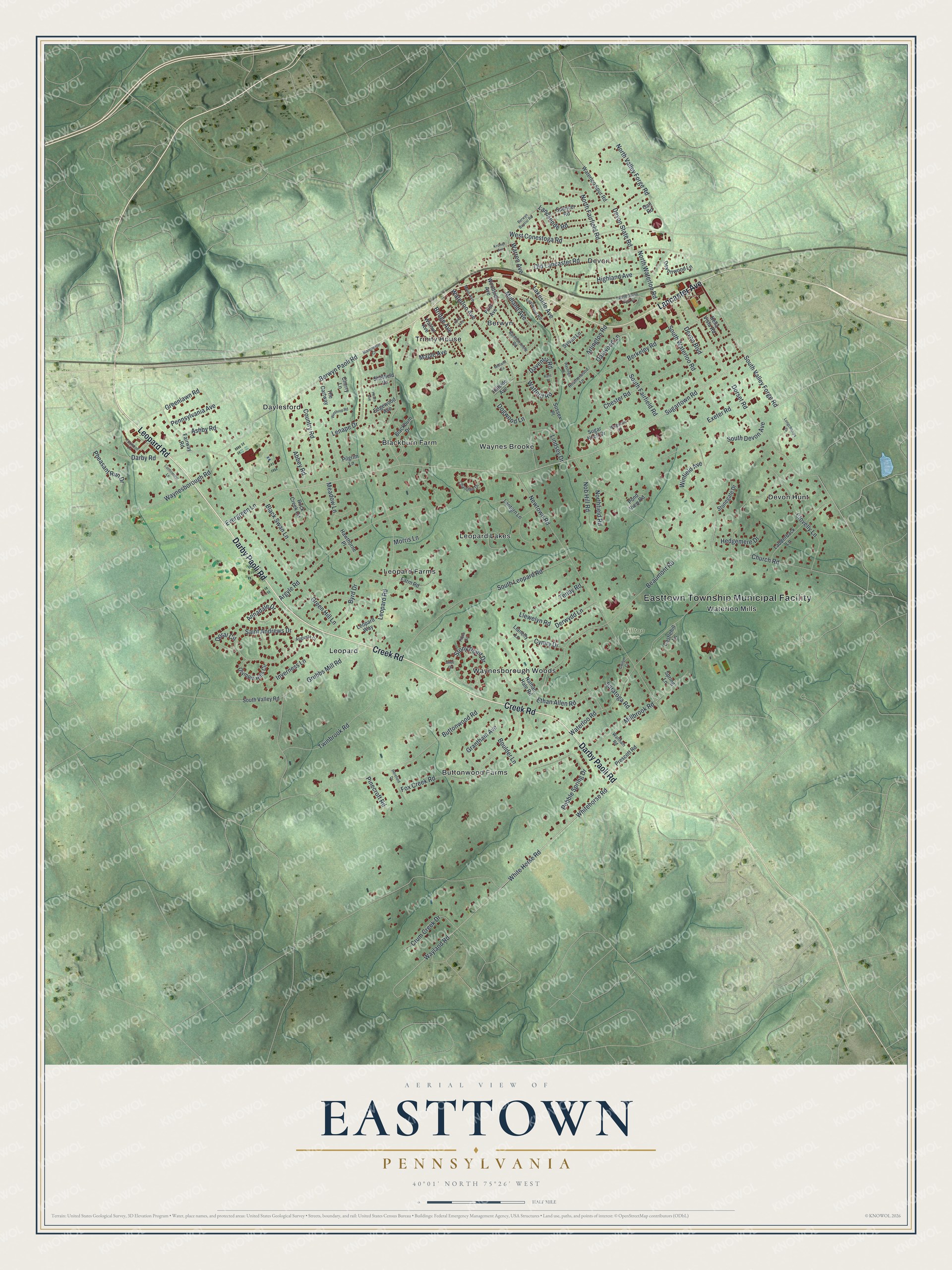
Created by KNOWOL in 2026, this Easttown map fits a home office, a den or a front hall. The shaded hills come from USGS elevation data, and the buildings stand out in deep red against the green. The title panel reads "Aerial View of Easttown, Pennsylvania," with the coordinates 40°01' North, 75°26' West and a half-mile scale bar.
It makes a thoughtful gift for someone who grew up in Berwyn or Devon, a family new to Leopard Road, or anyone who moved away and misses the township. Open the preview, zoom in and find the street you know. Shop the Easttown, Pennsylvania map.