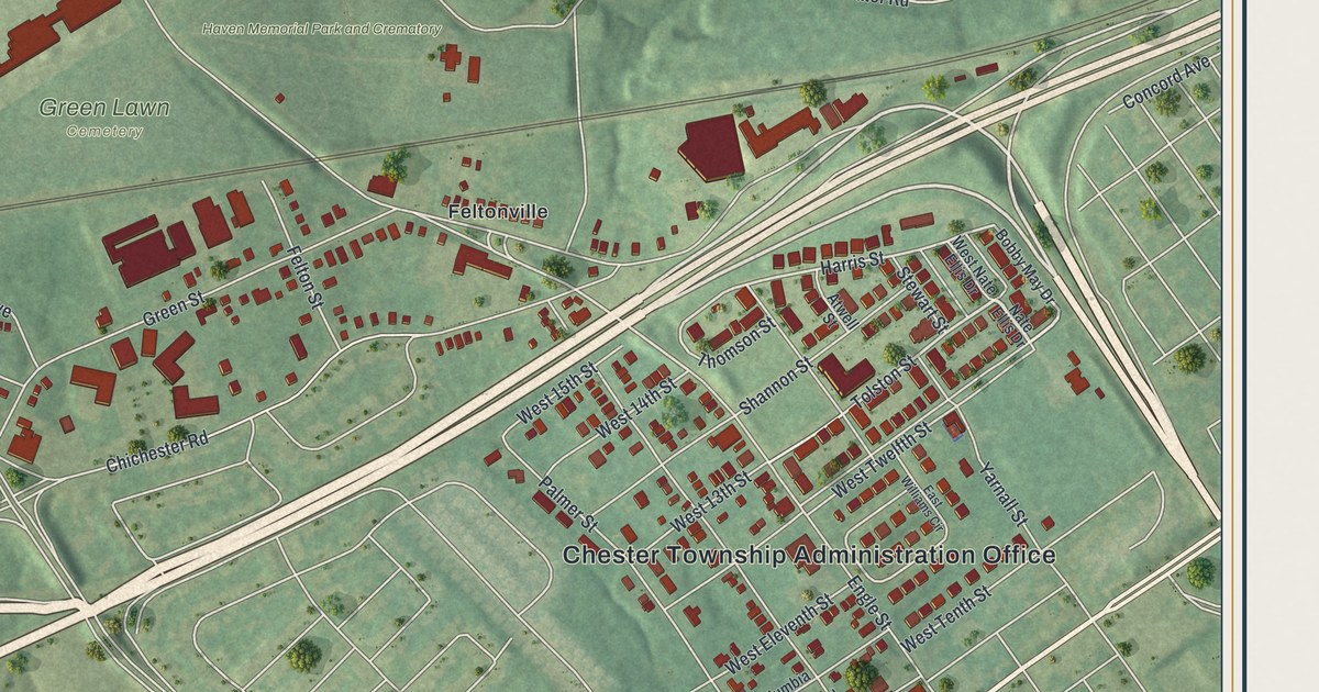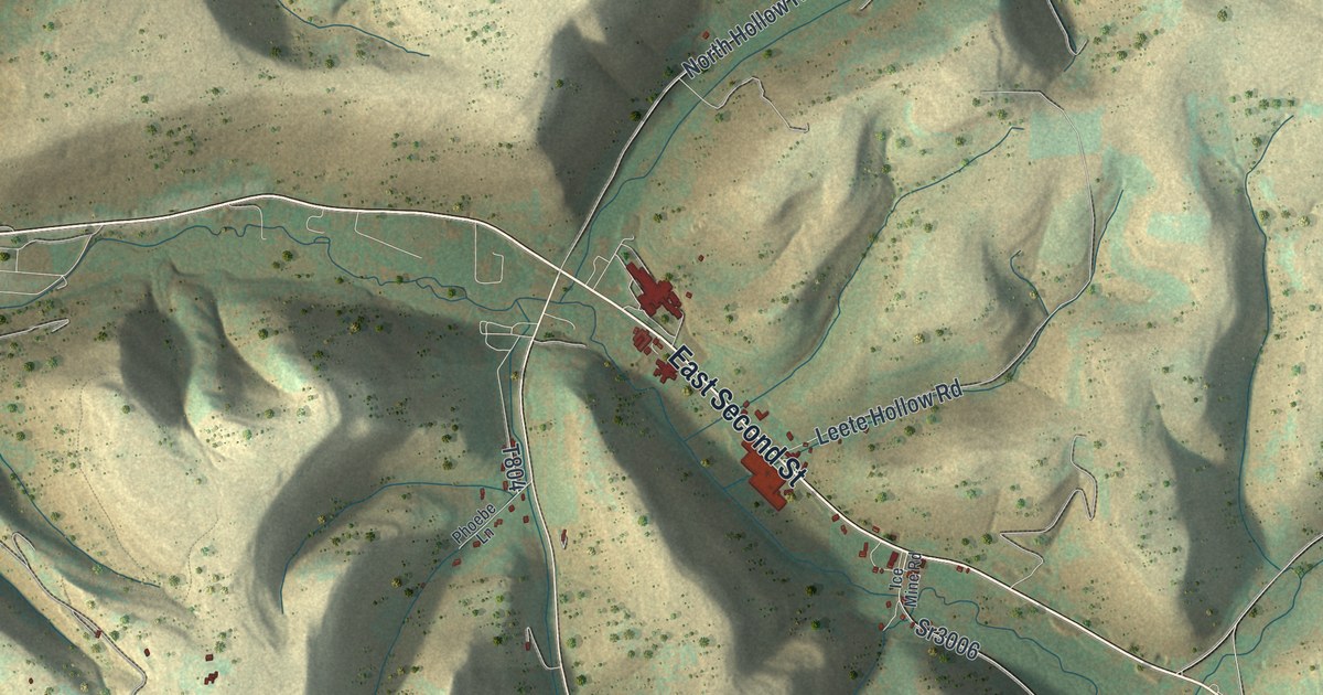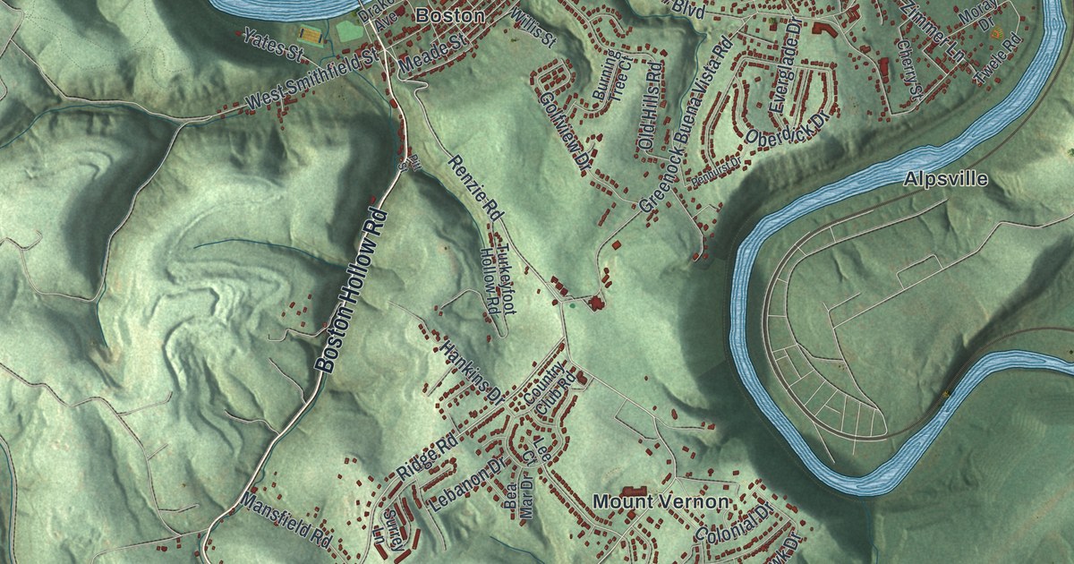
If you grew up in Boston, Greenock, Buena Vista or on the hills around Round Hill Park, this map shows the whole township you called home. It's a modern aerial view of Elizabeth Township in Allegheny County, Pennsylvania, made from modern data with a vintage artistic feel. Two blue rivers frame the sheet, and shaded green hills fill the land between them. More than 16,000 buildings are marked in red, from the old river villages to the streets off Scenery Drive. Elizabeth Township is its own place, separate from the borough of Elizabeth. Explore the print options for Elizabeth, Allegheny County.
From Boston to Blythedale, Douglass and Round Hill Park
Start at Boston, near the top of the sheet, where Boston Hollow Road comes down to Smithfield Street. The river that bends around this corner isn't labeled, but it's the Youghiogheny. Now head east to Greenock Buena Vista Road and follow it south. It passes Greenock and Mount Vernon on its way to Buena Vista. From there, Industry Road carries on to Industry. Blythedale Road keeps going south past Blythedale to Douglass. Turn west on Douglas Run Road and you'll pass Mustard. Round Hill Road leads back toward Round Hill Park, printed near the middle, with Scenery Drive close by. Over on the left side, Hayden Boulevard runs past Hilldale. Lovedale and Blaine Hill sit near the other river, the Monongahela, which isn't labeled either. Many roads are named, and each red shape is a building, so zoom in on the preview and look for yours.
Why Greenock was once called Greenoak
Greenock got its name from Scotland. The 1889 History of Allegheny County says William Black suggested it. He was a native of Greenock, the old Scottish town. John K. Graham laid the town out. But most of the people who bought lots were German. Over time, the name slid into Greenoak. The post office still used Greenock. The land had been Robert Wilson's farm. He was one of the first settlers in Elizabeth Township, and he lived in a log cabin near the river. After he died, the farm went back to rocks and brush. People thought it was worthless for farming. Then the mines opened in 1852, and flat building lots were in demand. The farm was sold in lots of one to fifteen acres. The German families cleared the rocks and built houses wherever they liked. The book says that's why the town looked so irregular. Greenock is the name printed on the map today, up near the top right. Oberdick Drive and Everglade Drive run through it now.
Why there's a Boston on the Youghiogheny
Boston has a story of its own. It was named by a brother of Mr. Duncan, of Duncan, Cornell & Co., the firm that opened the coal works there. The same book admits there was "little in the appearance of Boston" to suggest the big city in New England. Long before the mines, a stockade stood on the village site. The spot was called "the fort field." Families from the area took shelter there during the French and Indian troubles. In 1886, a brick hall for the local Grand Army of the Republic post went up on the old fort site. Duncan Station Road is printed near Mount Vernon. The book says Duncan, Cornell & Co. opened the mines at Duncan station in 1852.
For anyone who grew up between Boston and Round Hill
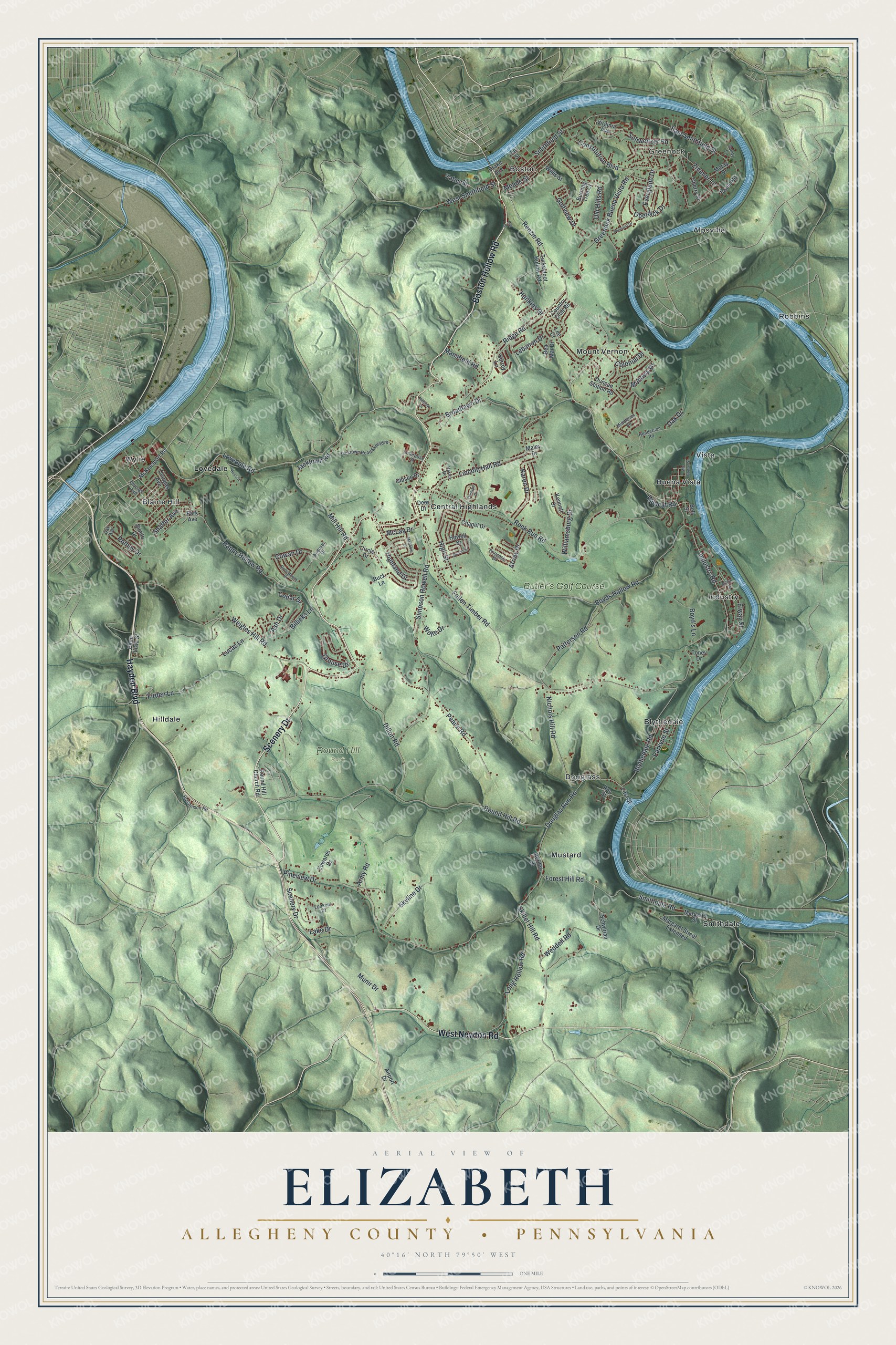
Created by KNOWOL in 2026, this map of Elizabeth Township shows the hills in soft green shading from USGS elevation data, the rivers in blue and the buildings in deep red. The title panel reads "Aerial View of Elizabeth, Allegheny County, Pennsylvania" with the coordinates 40°16' North, 79°50' West and a one-mile scale bar.
It suits a den, a kitchen, a family room or an office wall. It's a thoughtful gift for someone who grew up in Elizabeth Township and moved away, or for a family with roots in the old mining villages along the river. Open the preview, find the river bend at Boston, and follow the road home from there. Shop the Elizabeth, Allegheny County, Pennsylvania map.