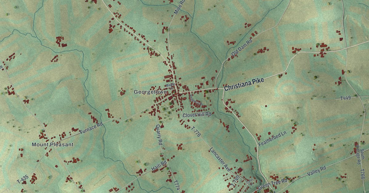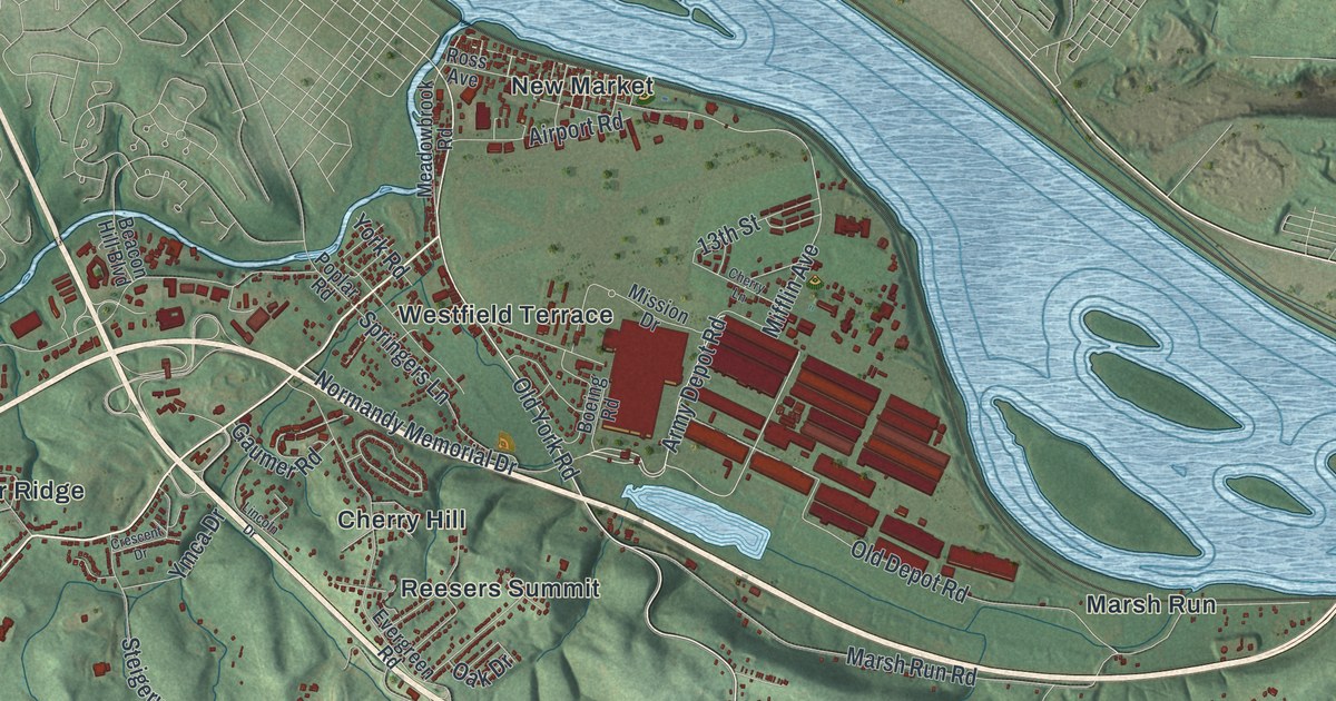
If you grew up in Fairview Township, or you drive Old York Road or Fishing Creek Road most days, this map gives you plenty to find. It's a modern aerial view of Fairview Township in York County, Pennsylvania, drawn from modern data and given a vintage look. Green shading shows every ridge and hollow, and each building is a small red shape. New Market sits at the top of the sheet by the water. The Susquehanna River isn't labeled, but its wide blue channel and islands fill the upper right. Explore the print options for Fairview, York County.
New Market, Fishing Creek Road and Redland Village
Start at New Market, near the top of the map beside the river. Old York Road runs south from there. Marsh Run Road branches off it and heads east to Marsh Run, at the upper right. Keep going south on Old York Road. Cherry Hill and Reesers Summit are printed just off it near the top. In the middle of the sheet, Old York Road crosses Fishing Creek Road and then Valley Road. Turn west on Fishing Creek Road. Frogtown and Springville are printed along it, and Bunches sits near its west end. Now go back and follow Valley Road east to Redland Village. From Bunches, Lewisberry Road runs down the left side past Cedar Point and Nauvoo. Near the bottom, Pinetown Road leads west to Pinetown, and Rosstown Road heads south. Many roads are labeled, and each red shape is a building, so zoom in on the preview and look for yours.
Why Fairview isn't called Franklin
Fairview was almost called Franklin. The 1886 book History of York County tells the story. In 1802, people asked the court to split a new township off the upper end of Newberry. They said Newberry was too big to get around. The court sent six men to look over the land. As they crossed the ridge between the Fishing Creek Valley and the Redland Valley, they looked out with delight. They could see rich farm valleys below. Past them, they could see into Cumberland, Dauphin and Lancaster Counties. Someone said "Fairview" was a better name. The court agreed, and the new township was confirmed in 1803. The ridge isn't labeled on this map. But the shading shows the hills rising between Fishing Creek Road and Redland Village.
The same chapter says New Market was laid out in 1807, in 120 lots. By 1840 it had 170 people, 25 homes and one store. By 1886 nearly 400 people lived there. Some of them worked at the steel works across the river. In the 1880s, many papers printed a short note about the township. It said Fairview had no post office and no hotel. It had thirteen school districts and eight churches. The justices of the peace didn't have enough cases to keep a record. The note called Fairview the "Eden" of York County. In 1880 the township had 2,164 people. The 2020 census counted 17,451.
For anyone who knows Fishing Creek Road or New Market
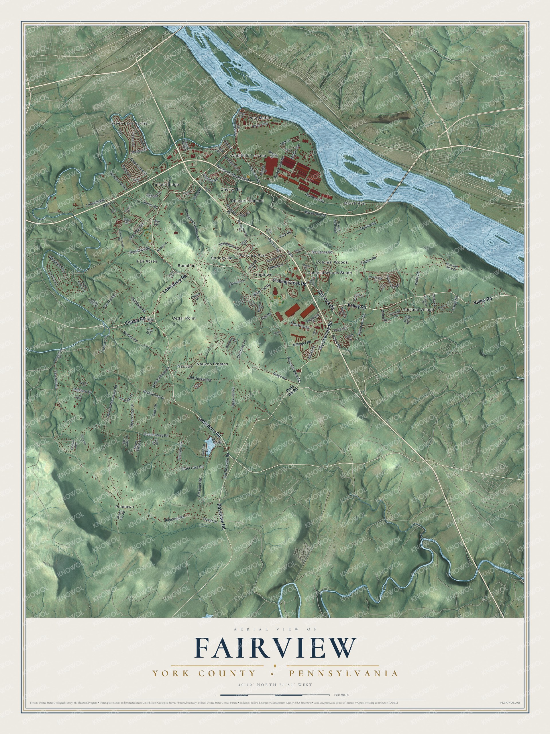
Created by KNOWOL in 2026, this Fairview Township map suits a den, a home office or a family room. The shaded hills come from USGS elevation data, so the ridges through the middle of the township are easy to follow. The title panel reads "Aerial View of Fairview, York County, Pennsylvania," with the coordinates 40°10' North, 76°51' West and a two-mile scale bar.
It's a warm gift for someone who grew up near New Market or Redland Village, has family off Lewisberry Road, or moved away from York County. Open the watermarked preview, find the hills between Fishing Creek Road and Valley Road, and trace the road you know. Shop the Fairview, York County, Pennsylvania map.