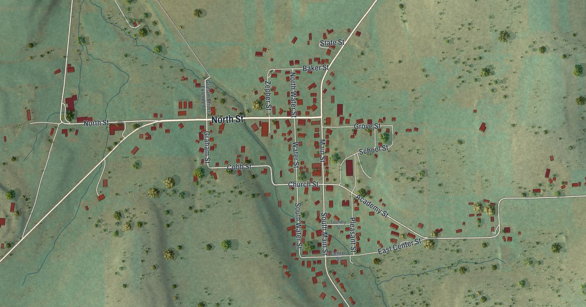
If you grew up in Ulysses, or you still have family on North Street or Main Street, this map shows the town you know. It's a modern aerial view of the Borough of Ulysses in Potter County, Pennsylvania, built from modern data with a vintage feel. The town sits near the middle, a small grid of streets with its buildings marked in red. Shaded green and gold hills rise on every side. North Main Street runs up to the top of the sheet, and Lehman Hollow Road heads out to the east.
North Street, Academy Street and Lehman Hollow Road
Start at the corner where North Street meets Main Street, in the middle of town. Follow North Street west. You'll pass Zepher Street and Graham Street, then reach Hickox-Ulysses Road, which climbs to the top left corner. Back at the corner, North Main Street heads northeast to the top of the sheet. Now go south on Main Street. Church Street branches off, and Cobb Street links it over to Graham Street. Keep going to Academy Street and turn east. You'll pass School Street and Pleasant Street. Then Academy Street meets Lehman Hollow Road, which runs east across Burt Street toward the right side of the map. Burt Street itself runs almost the full height of the sheet. Many of the roads are labeled, and each red shape is a building, so zoom in on the preview and look for yours.
Why Ulysses was also called Lewisville
In 1890 this town had two names. A county history printed that year says Lewisville was "generally called Ulysses, which is the name of the post-office." The Lewisville name came from O.A. Lewis, who settled in Ulysses Township in 1830. Clark Crum came in 1831. He was one of the early hunters, and his cabin stood inside what's now the town. The same book says the town sits in a low spot on the divide between the upper forks of the Genesee River. Those small streams aren't labeled on the map, but you can see the hills rise up on each side of town.
Lewisville held its first borough election on February 2, 1872. T.W. Burt was one of the first councilmen, and George H. Cobb was burgess in 1885. The history doesn't say the streets were named for them. Still, Burt Street and Cobb Street are both printed on this map. In 1879 the borough voted 47 to 21 against letting farm animals run loose in town. By 1887 it had a water company and the Ulysses Hose Company to fight fires.
For anyone who knows North Street and Academy Street
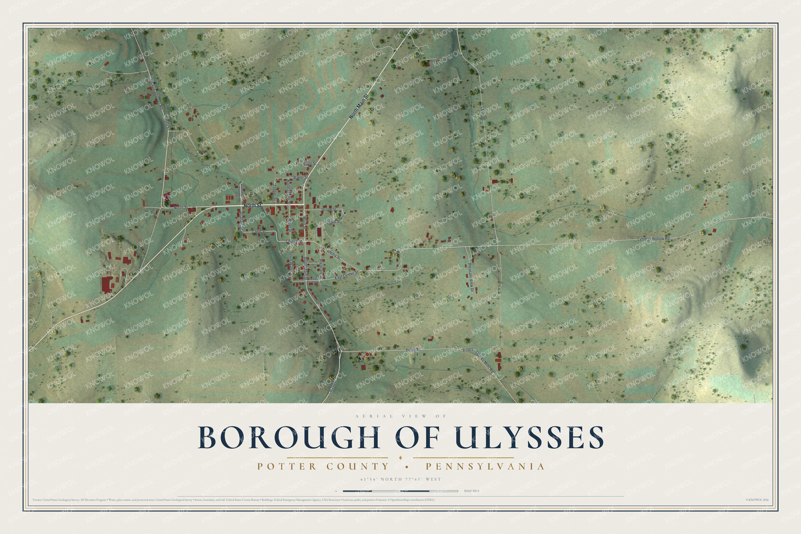
Created by KNOWOL in 2026, this map of Ulysses shows the town's streets and red buildings set among shaded green and gold hills. The shaded hills come from USGS elevation data. The title panel reads "Aerial View of Borough of Ulysses, Potter County, Pennsylvania," with the coordinates 41°54' North, 77°45' West and a half-mile scale bar.
It fits a kitchen, a den or a hallway where the family walks past every day. It's a good gift for someone who grew up in Ulysses and moved away, or for anyone with roots on these streets. Open the preview, zoom in and find the corner you know. See sizes and frames for the Borough of Ulysses, Potter County map.