If you grew up in Agency, have family on Main Street, or live on one of the streets named for birds north of town, this map shows the whole village and the hills around it. It's a modern aerial view of Agency, a village in Buchanan County, Missouri, built from modern data and given a vintage look. The village sits in the lower right corner with its buildings marked in red. A second group of houses sits north of it along the state highway. The rest of the sheet is shaded green hill country, cut by small creek valleys and dotted with a few pale blue ponds. Explore the print options for Agency.
Main Street, State Highway Ff and the streets named for birds
Start at Main Street, in the bottom right corner of the sheet, where the village's buildings gather in a tight group. First Street, Third Street and West Fourth Street are printed here too, along with Boone Street and Miller Street. There's also a short road called Possom Holler, printed just that way. Co Road S6E, Co Road E15S and Co Road E16S run along the bottom edge nearby. Pigeon Hill Road Southeast comes into the village from the hills to the northwest. State Highway Ff leaves the village and heads north, and that's the road to follow next. In places it's printed as State Rte Ff Southeast.
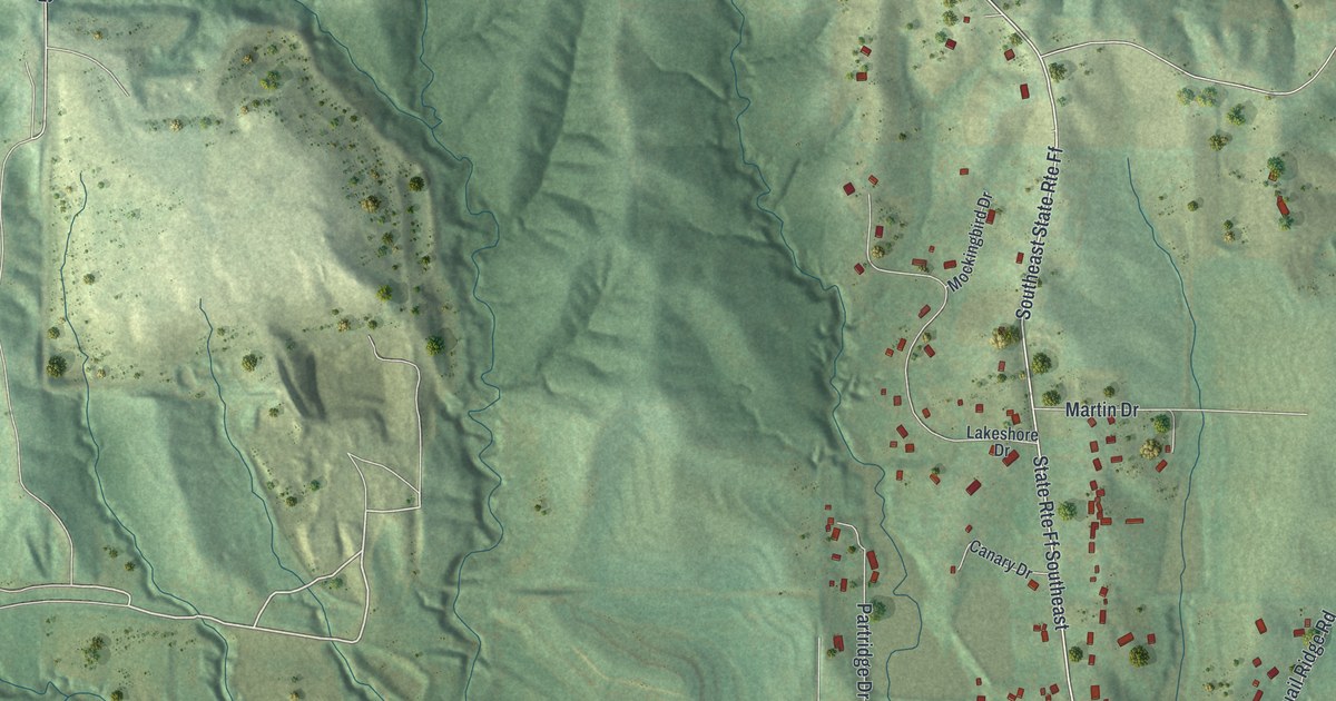
Follow the highway north and you'll come to a neighborhood where the streets are named for birds. Robin Drive, Oriole Drive and Martin Drive run east off the highway. Redbird Drive and Bluebird Drive run north and south. Mockingbird Drive sits near the top of the group, west of the highway. Below it, on the same side, you'll find Lakeshore Drive and Canary Drive, with Partridge Drive just past them. Chickadee Court is printed in this group too. Quail Ridge Drive and Quail Ridge Road are on the east side, near Robin Drive. From the bottom of this neighborhood, Co Road E14S and Prescher Road Southeast head east toward the edge of the map. Many of the roads are labeled, and each red shape is a building, so zoom in on the preview and look for yours.
The open hills from Kelsey Road Southeast to Monroe Road Southeast
The rest of the sheet is open hill country. The top left corner has its own small cluster of buildings along Co Road E-11-S and Kelsey Road Southeast. Co Road S3E and 52nd Road Southeast run south from there. Monroe Road Southeast and 72nd Road Southeast sit in the upper right. In between, the shading shows ridge after ridge, with creek valleys folded into the slopes. Several ponds show up in pale blue, though none of them are labeled. Agency is a village of 671 people, according to the 2020 Census. Most of the sheet is hills and open fields, with the houses gathered in two main groups. Look at the shading between Main Street and the bird streets and you'll see the creek valleys that separate them.
For anyone who knows Main Street or Robin Drive in Agency
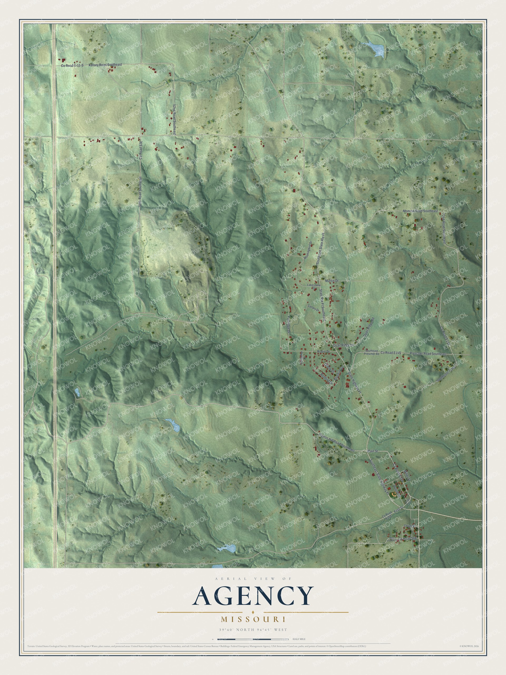
Created by KNOWOL in 2026, this Agency map shows red buildings and pale roads on shaded green hills, inside a cream border. The hills come from USGS elevation data, and the roads come from Census Bureau records. The title panel reads "Aerial View of Agency, Missouri" with 39°40' North, 94°45' West and a half-mile scale bar.
It suits a kitchen, a den or a farmhouse hallway where people pass it every day. It's a thoughtful gift for someone who grew up in Agency and moved away, or for family who still live on one of the bird streets. Open the preview, zoom in on Main Street or Robin Drive, and see which houses you can pick out. Shop the Agency, Missouri map.