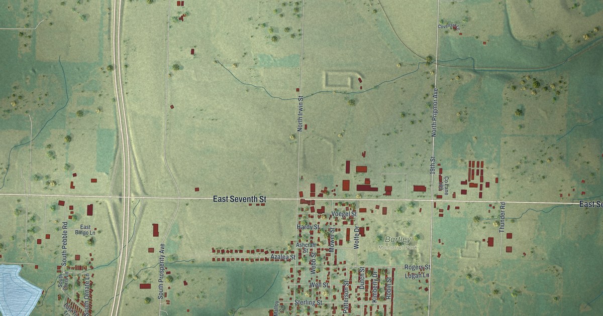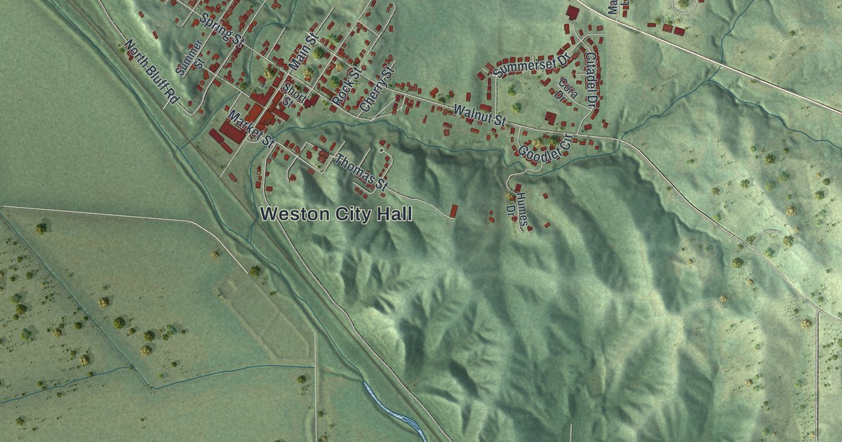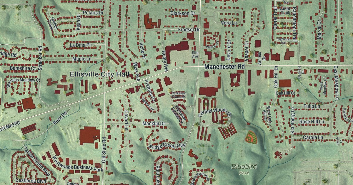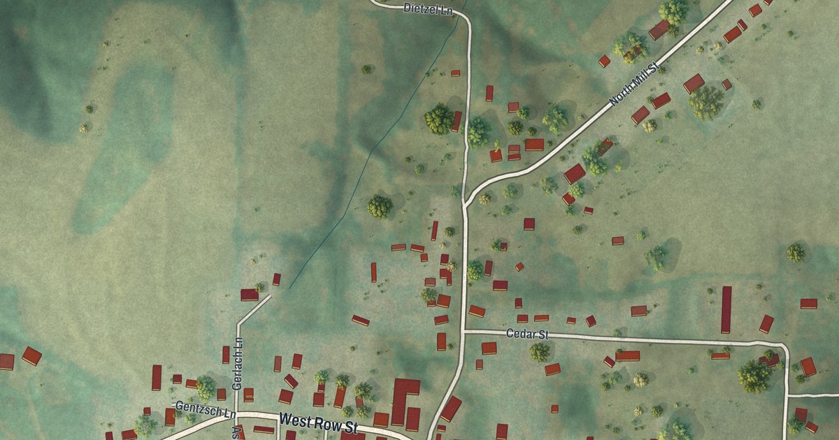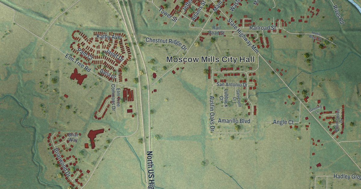
If you grew up in Moscow Mills, you'll find familiar streets on this print. It's a modern aerial view of Moscow Mills in Lincoln County, Missouri, made with modern data and a vintage feel. Red buildings stand out against green fields and wooded ground. A blue river bends beside the town's tight street grid.
Main Street and Moscow Mills City Hall
On this map you'll find Main Street, Moscow Mills City Hall, Front Street, East Second Street, East Third Street, Washington Street, Jefferson Street, Adams Street, Market Street, Elm Tree Road, and more. Each red shape is a building, so zoom in on the preview and look for yours.
The town's name has a postal story behind it. The State Historical Society of Missouri's place-name account says it was once known as Moscow. When the post office opened, another Missouri post office already had that name. The town became Moscow Mills. Look for that longer name on the map's Moscow Mills City Hall label and in the large title below the view.
Moscow Mills for Your Wall
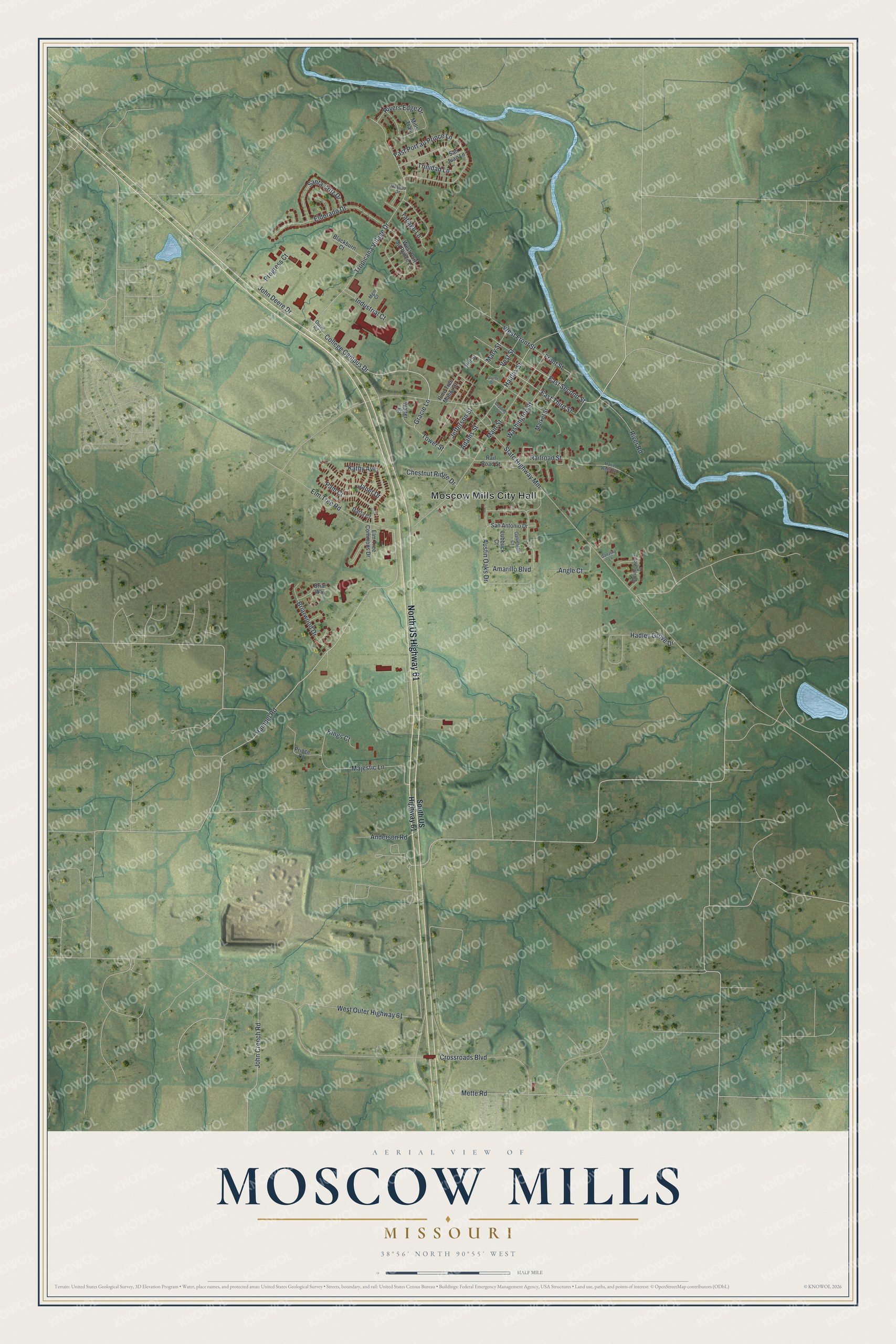
Created by KNOWOL in 2026, this print pairs soft green land with blue water and red building shapes. A cream border and fine dark lines surround the view. The title panel reads AERIAL VIEW OF, MOSCOW MILLS, MISSOURI, and 38°56' NORTH 90°55' WEST.
Hang it in a living room, home office, or entryway. It's a thoughtful gift for someone who grew up near Main Street and now lives far away. Open the preview to look for a familiar block and see the whole town view. See sizes and frames for the Moscow Mills map.