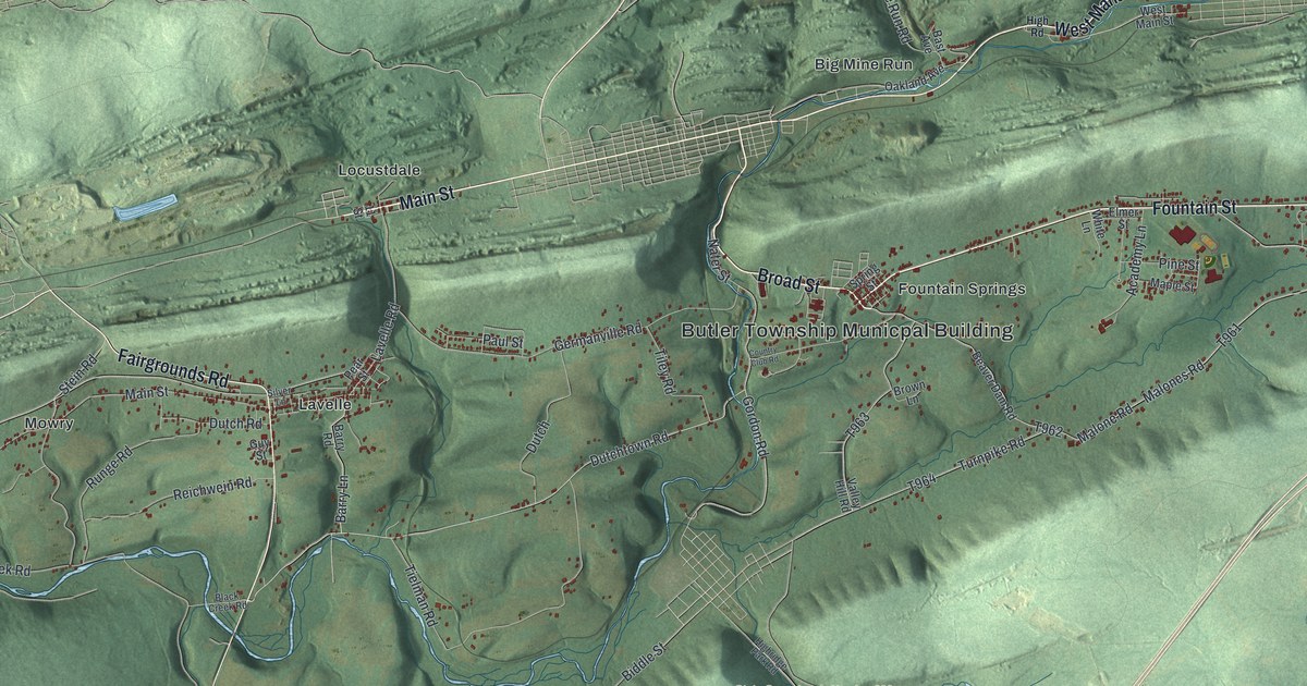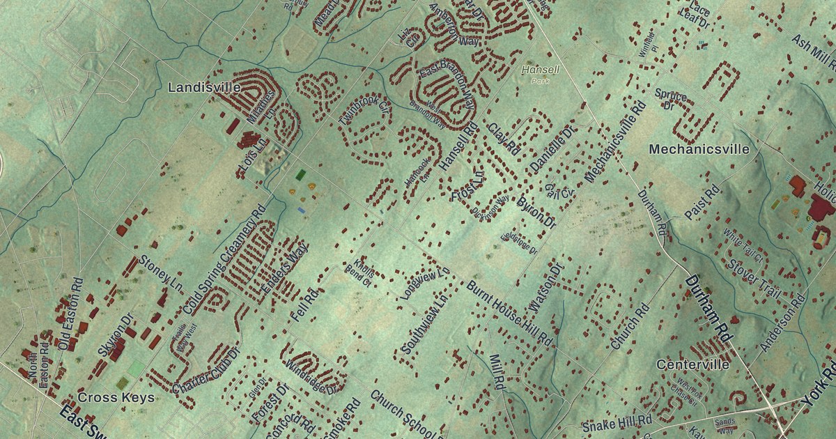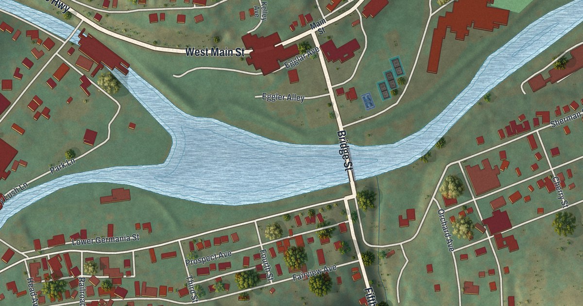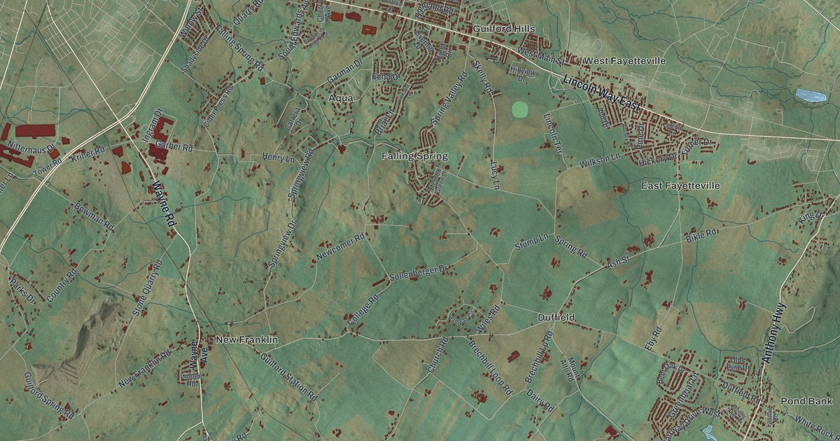
If you grew up in East Fayetteville, West Fayetteville, Marion or New Franklin, or you drive Wayne Road and Lincoln Way East every day, you'll find your corner of Guilford Township on this map. It's a modern aerial view of Guilford Township in Franklin County, Pennsylvania, made from modern data and finished with a vintage look. More than 21,000 buildings are drawn in deep red on soft green hills. A tight street grid fills the top left corner. The shaded ridges of Michaux State Forest rise across the bottom right.
Stoufferstown, Falling Spring Road and the way down to Marion
Start at Stoufferstown, near the top of the sheet on Lincoln Way East. Franklin Farm Lane runs north from the village. Follow Lincoln Way East to the right and you'll pass Guilford Hills, then West Fayetteville and East Fayetteville. Now go back to Stoufferstown and take Falling Spring Road south. It runs down through Aqua and Falling Spring to Duffield, where it meets Mont Alto Road. From Duffield, New Franklin Road heads west to New Franklin. Wayne Road runs south from there to Swamp Fox Road, near the bottom of the sheet. Swamp Fox Road carries on west to Marion in the bottom left corner. Molly Pitcher Highway runs down the left side past Guilford Springs, with Social Island a little farther west. Over on the right, Anthony Highway runs south past Pond Bank toward Ledy and White Rocks, and Rocky Mountain Road climbs into Michaux State Forest. Many of the roads carry labels, and each red shape is a building, so zoom in on the preview and find yours.
Patrick Gass and the marker on Franklin Farm Lane
Franklin Farm Lane carries the township's best story. A state historical marker at 181 Franklin Farm Lane, just off Lincoln Way East, stands for Patrick Gass. He was born here in 1771 and lived here until he was 10. In 1803, Meriwether Lewis enlisted him as a private in the Lewis and Clark Expedition. In August 1804 he was made a sergeant. Lewis praised his carpentry and his soldiering in writing. After the expedition ended in 1806, Gass published his diaries of the trip. He also fought in the War of 1812, and he lived until 1870. The Gass House still stands east of Chambersburg off U.S. 30, and it's listed on the National Register of Historic Places. To find the spot, start at Stoufferstown and follow Franklin Farm Lane north.
How Stoufferstown, New Franklin and Marion got started
The other villages on the map each have a start date. The History of Franklin County, printed in 1887, says Patrick Vance built the first house at Stoufferstown in 1773. In 1792 Daniel Stouffer put up Stouffer's Mill there, and the place grew into a village around it. New Franklin began in 1795, when Balthazar Kountz built the first house. The next one didn't go up until 1827. By 1887 the village had 19 houses and 80 people, and it had held a post office since 1883. Marion got its first building in 1810. For years people called it Independence. When a post office came, it was renamed for Gen. Marion. Now look at the road that runs past Marion on the map: Swamp Fox Road. Once the Cumberland Valley Railroad went through, a stop called Marion Station was built about half a mile east of the village.
The log church at Grindstone Hill
One more story comes from the same book. Two of the oldest country churches in Franklin County stand at Grindstone Hill in this township, named for the stone quarried nearby. Their first building was a log church put up in 1766. Timber was scarce, so the logs were hauled four miles. Two men, John George Cook and Daniel Lob, raced to bring the first one. During preaching, the settlers kept their guns in a corner and hung their shot pouches on pins along the wall. As the book puts it, the people watched as well as prayed. The German farm families who filled those pews came between 1736 and 1749, and names like Keller, Gift, Cover and Snyder are on the township's 1786 tax list in the same chapter.
Hang Guilford on the wall, from Stoufferstown to Marion
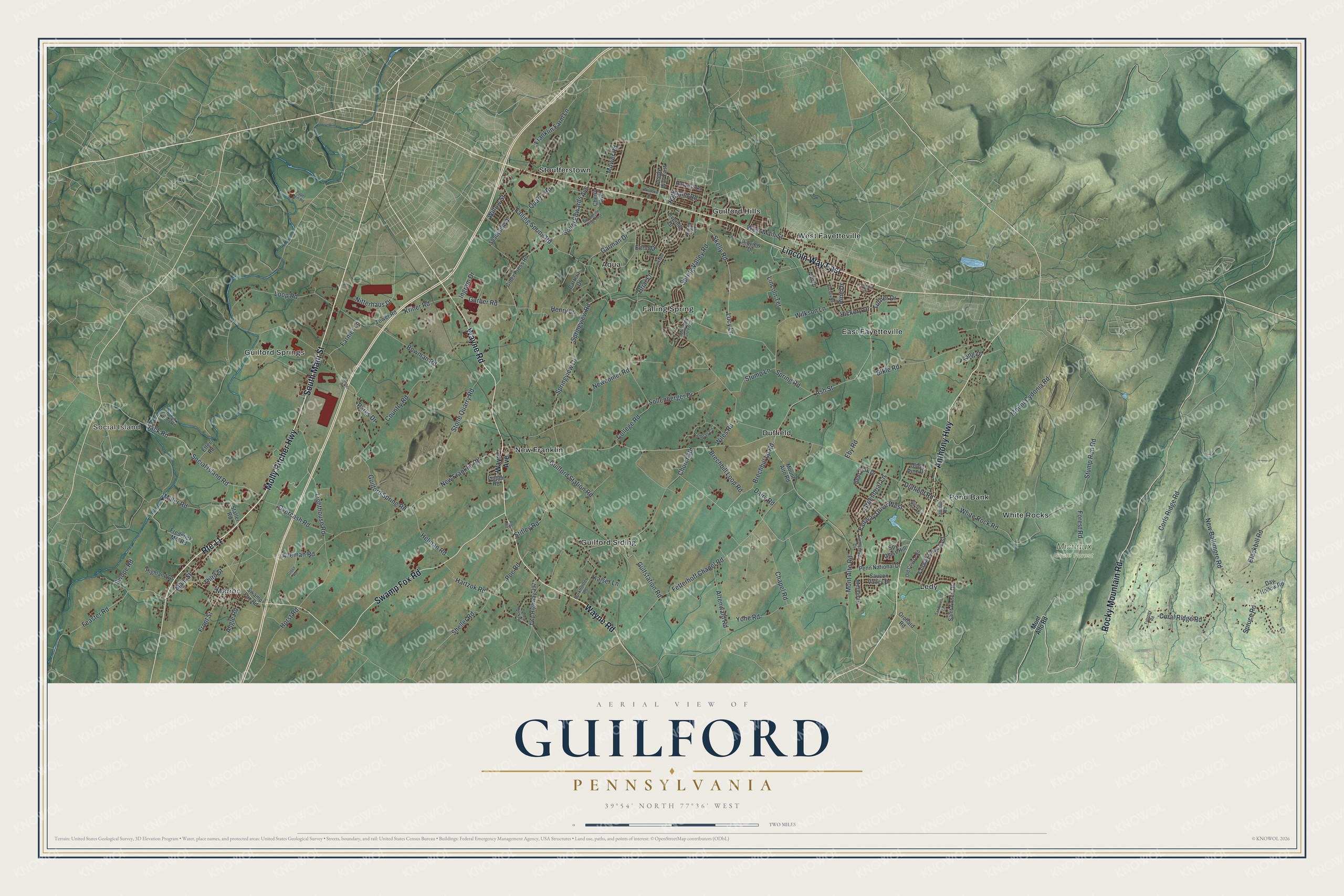
Created by KNOWOL in 2026, this Guilford Township map puts the whole township on one sheet, with buildings in deep red and the hills shaded from USGS elevation data. The soft green fields and the darker ridges of Michaux State Forest give it a vintage look. The title panel reads "Aerial View of Guilford, Pennsylvania" with the coordinates 39°54' North, 77°36' West and a two-mile scale bar.
It suits an office, a den, a kitchen wall or a classroom. It's a thoughtful gift for someone who grew up in East Fayetteville, West Fayetteville or Marion, or for anyone who moved away and still knows the way to Pond Bank. Open the preview, start at Stoufferstown and trace the road home. See sizes and frames for the Guilford map.