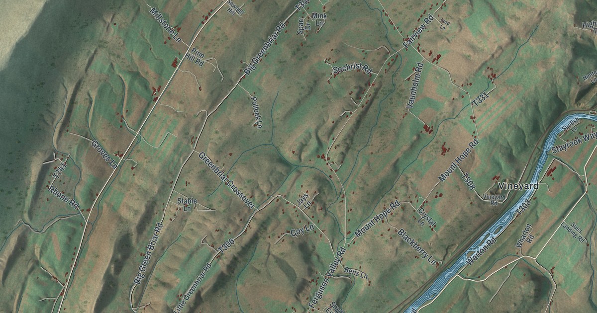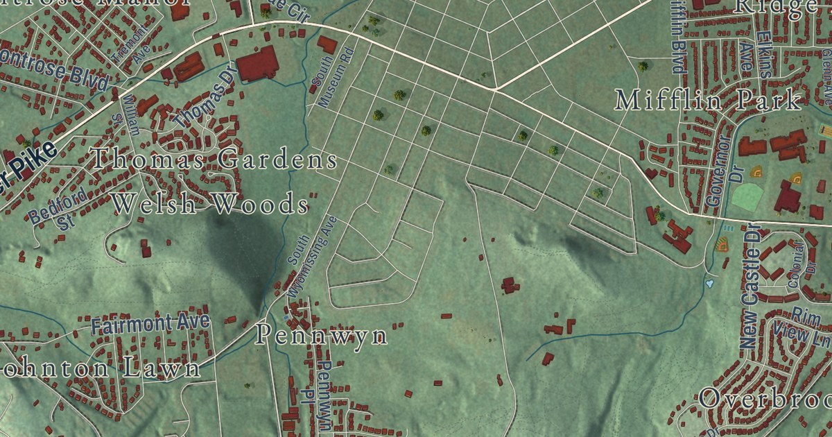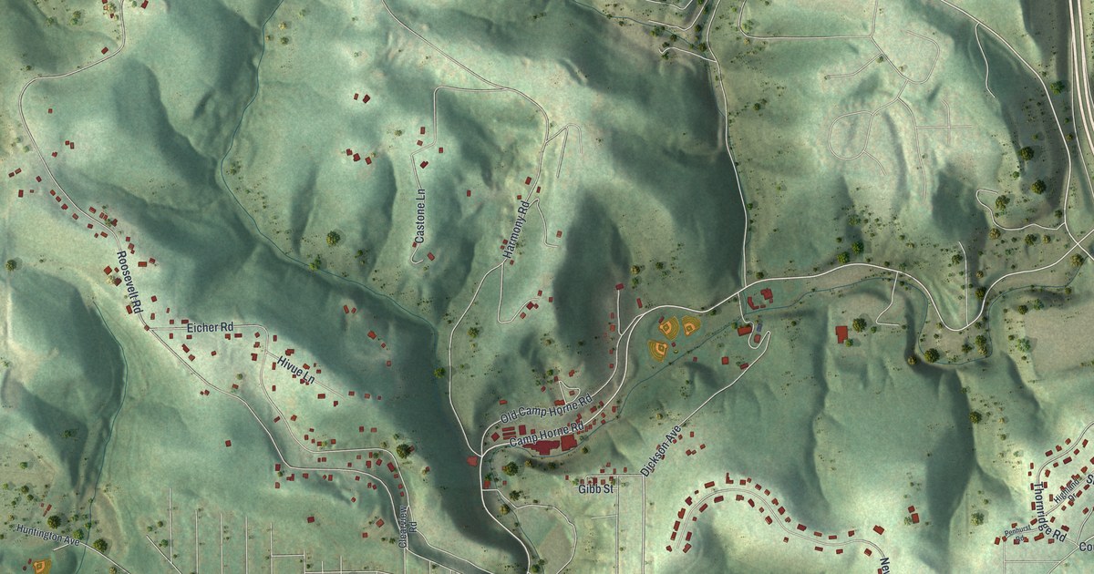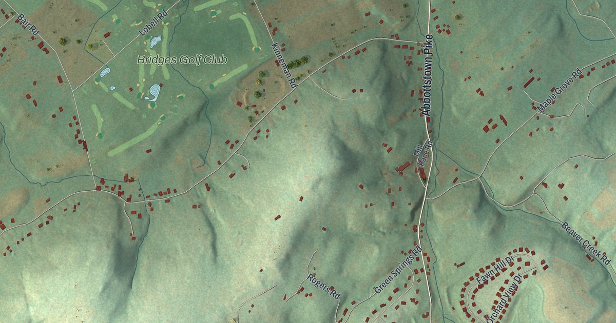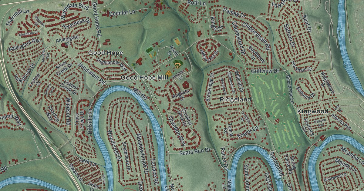
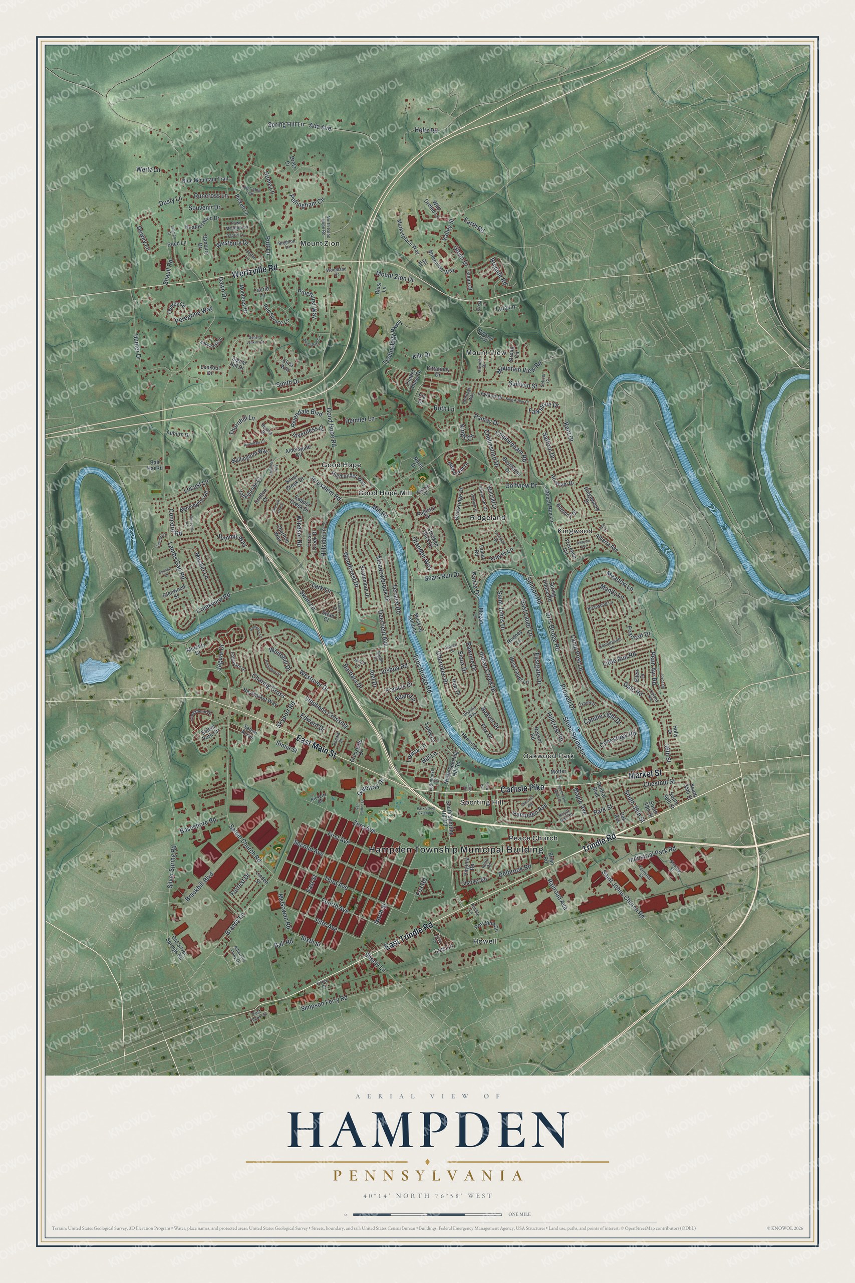
This beautifully detailed map of Hampden, Pennsylvania was created in 2026 using aerial imagery combined with modern topographical, census, street and landmark data. It’s a one-of-a-kind view of Hampden that combines accurate data with a vintage aesthetic. The map shows every building in its true location, many of the roads carry their names, and the shaded topographic relief shows the shape of the land.
Explore an aerial view of Hampden, Pennsylvania
On the map you’ll find Hampden Township Municipal Building, Hampden Park, Good Hope, Good Hope Mill, Howell, Kingwood, Mount View, Mount Zion, Oakwood Park, Peace Church, Ridgeland, Sporting Hill, and more. If you look closely you can even find your house accurately drawn in its correct location. Zoom in on the preview to look for yours.
Did you know this piece of Hampden, Pennsylvania history?
From the Cumberland County Historical Society: "In 1995 Hampden Township observed its sesquicentenary, causing one to wonder why it is called Hampden. While there is no documentary proof, it can with some confidence be concluded that it bears the name of a little known, almost forgotten hero of the English Civil War."
Take a closer look at the Hampden map
Street and place names on the Hampden, Pennsylvania map
These names are printed on the map of Hampden, Pennsylvania.
Places: Hampden Township Municipal Building, Hampden Park, Good Hope, Good Hope Mill, Howell, Kingwood, Mount View, Mount Zion, Oakwood Park, Peace Church, Ridgeland and Sporting Hill.
Streets and roads: East Trindle Road, Trindle Road, Carlisle Pike, Wertzville Road, Market Street, East Main Street, Good Hope Road, Cherokee Drive, Charing Cross, Salem Church Road, Silver Spring Road, Fourth Avenue.
More street names, A to Z
36th Street, Abington Way, Ada Avenue, Ada Drive, Adam Lane, Admiral's Quay Drive, Airport Drive, Alberta Avenue, Aldersgate Circle, Anthony Drive, Appaloosa Drive, Armitage Way, Aspen Lane, Auburn Drive, Augusta Drive, Bali Hai Road, Ball Road, Banbury Drive, Barbara Drive, Baseshore Road, Baythorne Drive, Beaver Drive, Beech Run Lane, Bennington Road, Blue Mountain Trail, Blust Lane, Brackbill Boulevard, Brandy Lane, Bretz Drive, Brian Road, Briarwood Lane, Brigade Road, Brighton Lane, Brookridge Drive, Candle Light Drive, Cannon Drive, Cedar Lane, Central Boulevard, Charles Road, Charlton Way, Chelmsford Drive, Chelsen Cross, Chestnut Avenue, Chestnut Street, Chippenham Road, Colony Road, Concord Road, Conestoga Road, Copper Creek Drive, Countryside Lane, Creekbend Drive, Creekview Road, Crissy Lane, Crofton Court, Crooked Stick Drive, Cross Creek Drive, Crossgate Drive, Dawn Drive, Deerfield Avenue, Deimler Lane, Delbrook Road, Dewey Lane, Donald Street, Dusty Lane, Dwayne Avenue, Earth Road, Eastgate Drive, East Lauer Lane, East Locust Street, East Street, Eberly Drive, Edgeware Drive, Edward Drive, Eliza Way, Elk Court, Elks Drive, Ellen Drive, Erbs Bridge Road, Falkstone Drive, Fawn Meadow Lane, Fetrow Drive, Fifth Avenue, First Avenue, Florence Circle, Forrest Drive, Foxcroft Drive, Fox Drive, Fox Road, Francis Drive, Gale Road, Gateway Drive, General Jenkins Drive, Gill Road, Gleim Court, Gleim Drive, Glenwood Street, Golfview Drive, Grandon Way, Hampden Avenue, Haymarket Way, Heatherwood Drive, Hempt Drive, Highlander Way, Hillcrest Road, Hill Lane, Hillside Lane, Holly Drive, Holtz Road, Hopi Drive, Horsham Drive, Hume Lane, Hunter Drive, Indian Creek Drive, Industrial Park Road, Inverness Drive, Jacob Lane, Jaguar Drive, Jerusalem Road, Joel Drive, Joshua Road, Joyce Road, Keith Road, Kent Drive, Kile Drive, King Arthur Drive, Kings Circle, Kittatinny Drive, Kunkle Lane, Lambs Gap Road, Lamp Post Lane, Lark Lane, Laurie Lane, Lehman Court, Leyland Drive, Lighthouse Drive, Linden Street, Little Run Road, Locust Lane, Log Cabin Trail, Lois Lane, Lookout Drive, Louisa Lane, Lula Lane, Mandy Lane, Maple Avenue, Marketplace Way, McGowan Road, Meadowbrook Drive, Meadow Lane, Megan Lane, Mercury Drive, Milbrand Crst, Milennium Way, Mill Road, Monterey Drive, Motter Lane, Mountain View Road, Mount Zion Drive, Musket Lane, Muskrat Landing, Nantucket Drive, North Drive, North Good Hope Road, North Sporting Hill Road, North Street, Oak Avenue, Old Silver Springs Road, Orrs Bridge Road, Osprey Circle, Oxbow Drive, Pamay Drive, Pamela's Lane, Panza Drive, Park Street, Park Street Extended, Pawnee Drive, Pebble Court, Pellingham Circle, Penn Ayr Road, Pennsboro Drive, Peregrine Way, Pickett Lane, Pinehurst Way, Port Side Circle, Princeton Road, Prowell Drive, Putt Lane, Railroad Avenue, Red Spruce Lane, Reed Lane, Reeser Road, Revere Drive, Ricketts Road, Ridgewood Drive, Rivendale Boulevard, Rivendale Court, Rodney Lane, Roth Lane, Royal Oak Road, Runcross Lane, Saffron Drive, Saint Johns Church Road, Saint Johns Drive, Salem Acres, Salem Park Circle, Salmon Road, Sarah Court, Scenery Drive, Sears Run Drive, Second Avenue, Seltzer Court, Seneca Drive, Shasta Way, Shaull Road, Sheely Lane, Shiremont Drive, Signal Hill Drive, Silver Creek Drive, Silver Pine Circle, Simie Street, Simpson Ferry Road, Sioux Drive, Sixth Street, Skyport Road, Smith Drive, South 35th Street, South 36th Street, South 38th Street, South 39th Street, South Saint Johns Drive, South Sporting Hill Road, Souvenir Drive, Spring Hill Lane, Spring House Road, Stephens Crossing, Sterling Street, Stone Spring Lane, Strathmore Drive, Stroup Circle, Sullivan Street, Summit Way, Swan Court, Swan Lane, Tamar Road, Tavistock Road, Technology Parkway, Terminal Street, Terrace Road, Third Avenue, Thornhill Lane, Timber Chase Drive, Trayer Lane, Trudy Circle, Turtle Lane, Valleybrook Drive, Valley Street, Van Patton Drive, View Road, Virginia Road, Wallingford Way, Wertz Lane, Westbury Drive, West Lauer Lane, Westover Drive, Whitehill Drive, Wild Orchid Lane, Willcliff Drive, Willshire Drive, Windsor Road, Woodcrest Drive, Woodland Drive, Zero Avenue.
See the Hampden, Pennsylvania map on a wall
The Hampden map as an 18 x 24 inch print in a black frame.

This beautifully detailed map of Hampden makes an attractive addition to your office, library, or den, and it can even be used to teach children the geography and history of the area. It also makes a great gift for anyone who grew up in Hampden or moved away. When you’re done exploring, click here to get your copy of the Hampden map.