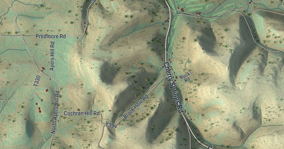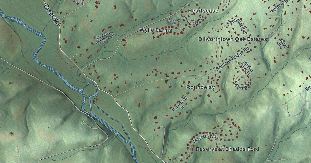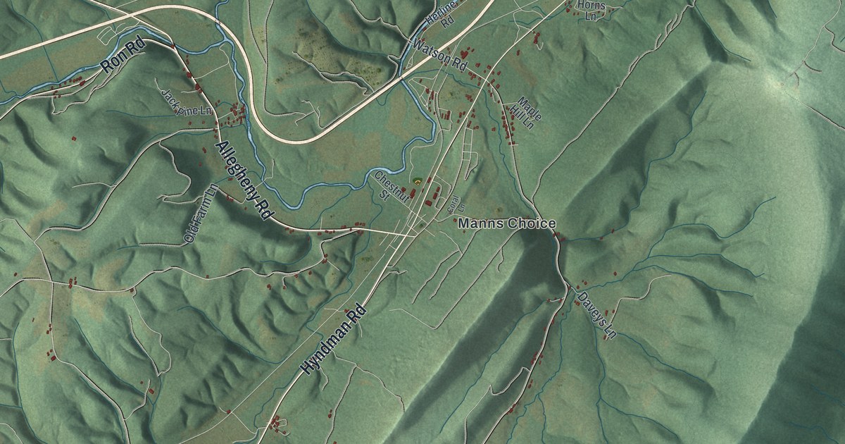
If you grew up in Manns Choice, have family near Buffalo Mills or know the drive down Milligans Cove Road, this map has your part of Bedford County on it. It's a modern aerial view of Harrison Township in Bedford County, Pennsylvania, made from modern data and given a vintage look. Long green ridges run across the sheet on a slant, with farm valleys tucked between them. Each small red shape is a building. The view runs from Allegheny Road at the top down to State Game Lands Number 48.
Manns Choice, Hyndman Road and Buffalo Mills
Start at Manns Choice in the top right corner, where Chestnut Street meets Allegheny Road. Allegheny Road heads west across the top of the sheet. Now find Hyndman Road just below town. It runs southwest down a long valley. Pass Nettie May Road and Brant Hollow Road, and you'll reach Buffalo Road and Buffalo Mills in the middle of the map. Bard sits just past it. From Bard, Bard Hollow Road runs west to Rockville.
Back at the top, Milligans Cove Road runs down the next valley to the east, on the other side of a ridge. It passes Gregor Lane and Indian Greens Lane. Then it reaches Sulphur Springs, near the center of the sheet. Sulphur Springs Road and White Sulphur Lane are close by. Keep going southwest and you'll come to State Game Lands Number 48 near the bottom. Many roads are labeled, so zoom in on the preview and look for yours.
Summer guests at the White Sulphur spring
Milligan's cove is named for John Milligan. Tradition says he was a hunter who came here for adventure. The Mays were some of the first settlers in the valley. An 1884 county history says A. M. May had mineral springs on his farm that were widely known. In 1872 he built a house for summer boarders, and every summer it filled up. His brother H. E. May lived a short way from the White Sulphur spring. He built a big house in 1874, and people came from all over the country to stay. In summer he spent all his time on his guests. Follow Milligans Cove Road to Sulphur Springs on the map and you're in that same valley.
How Manns Choice got its name
Harrison Township was formed from part of Napier in 1842. Manns Choice is named for Job Mann. A post office opened there about 1848. There was no real village until the railroad came in 1871. A big tannery opened in 1868 and gave the town its start. It kept about thirty men at work. Farmers nearby earned cash by selling it bark in the winter. By 1884 the village had three general stores, two hotels and a gristmill.
For anyone from Manns Choice or Milligans Cove Road
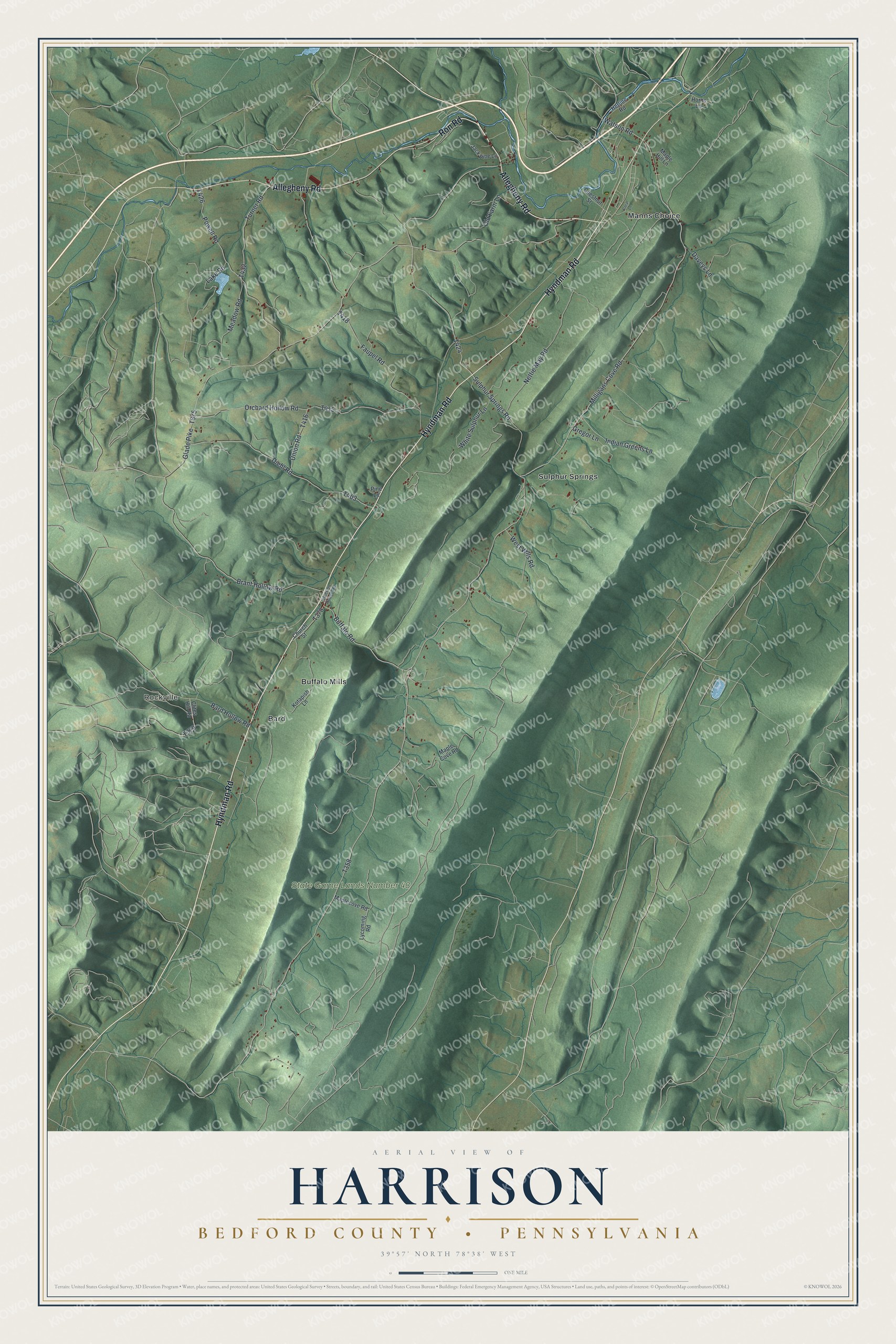
Created by KNOWOL in 2026, this Harrison Township map shows the ridges in shaded green from USGS elevation data, with roads in fine lines and buildings in dark red. From across the room you see the long ridges. Up close you can find single farms along Hyndman Road. The title panel reads "Aerial View of Harrison, Bedford County, Pennsylvania" with the coordinates 39°57' North, 78°38' West and a one-mile scale bar.
It suits a farmhouse kitchen, a den or a camp wall. It's a thoughtful gift for someone who grew up in Manns Choice and moved away, or anyone with family near Buffalo Mills or Bard. Open the preview, zoom in and find the road you know. See sizes and frames for the Harrison, Bedford County map.