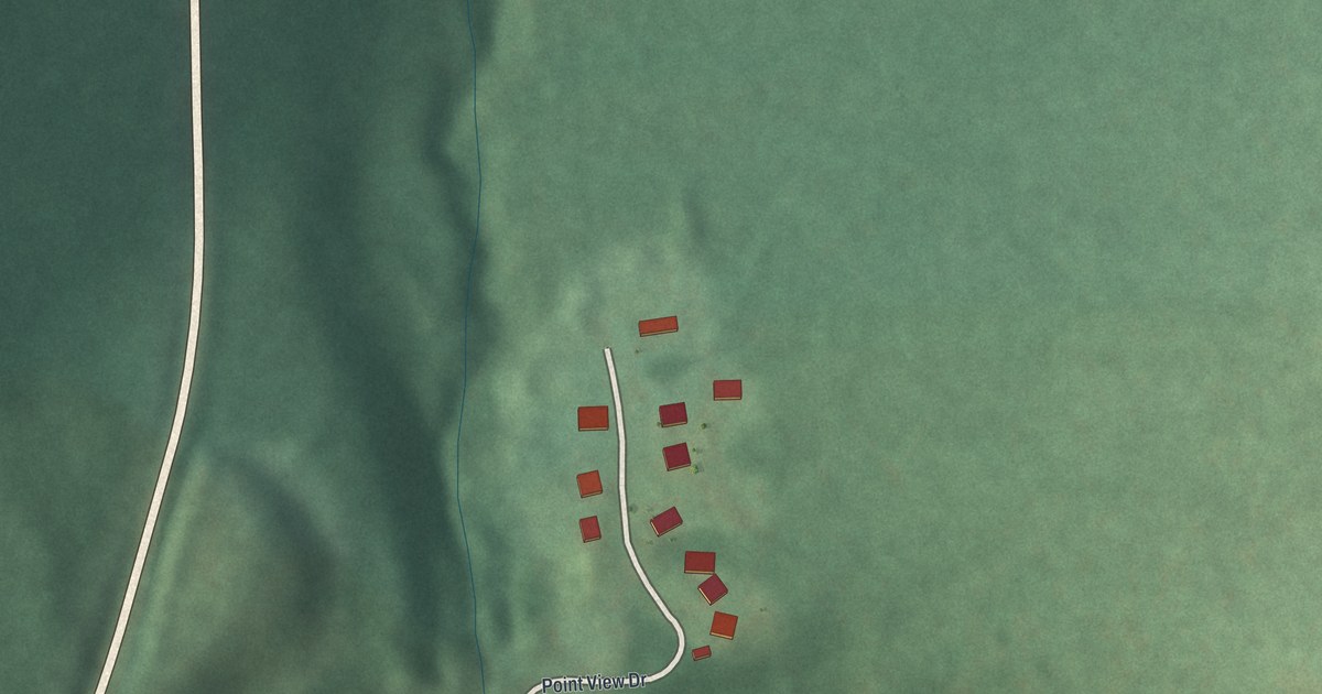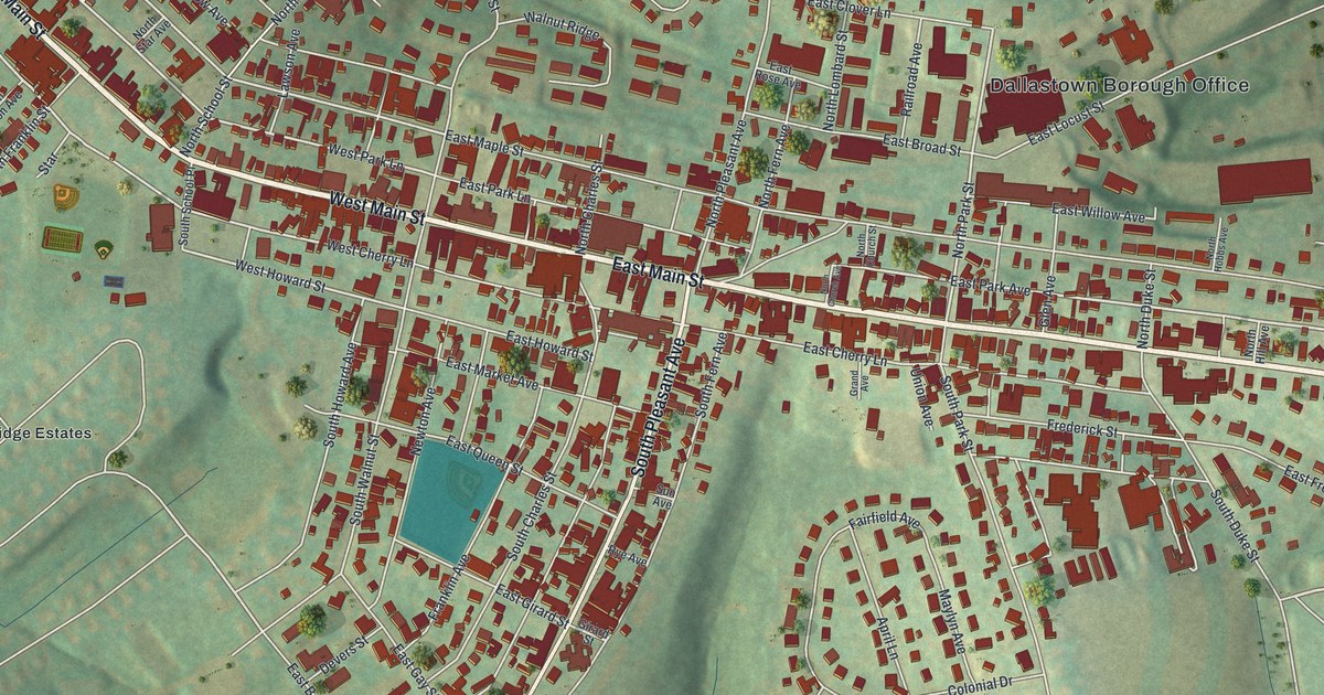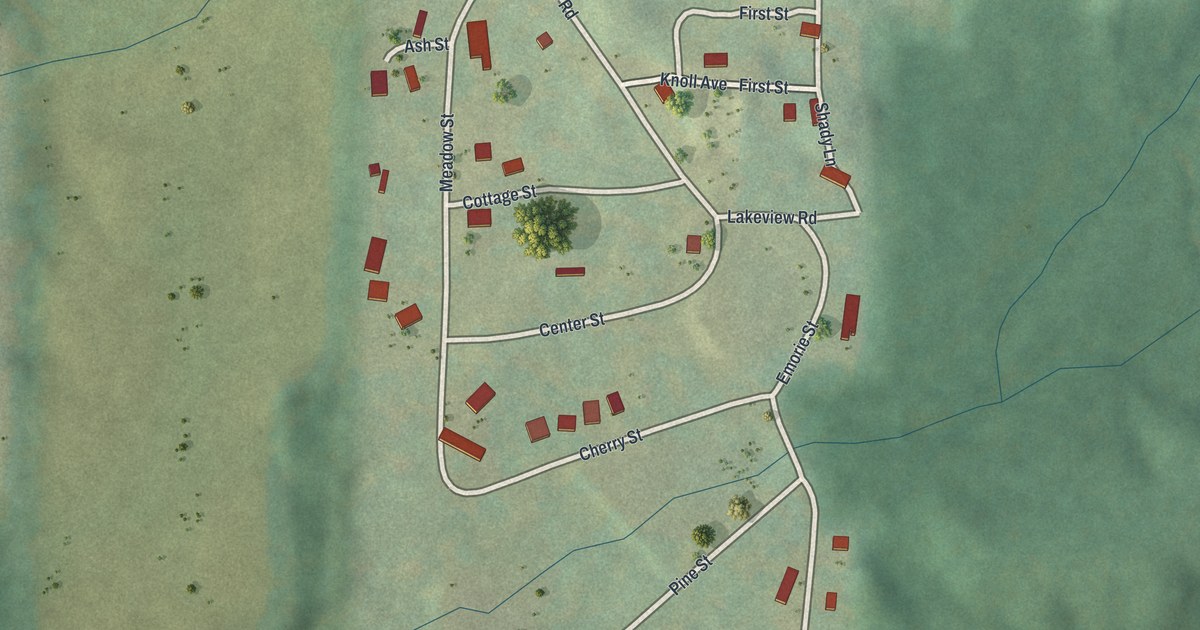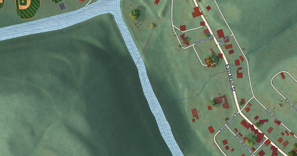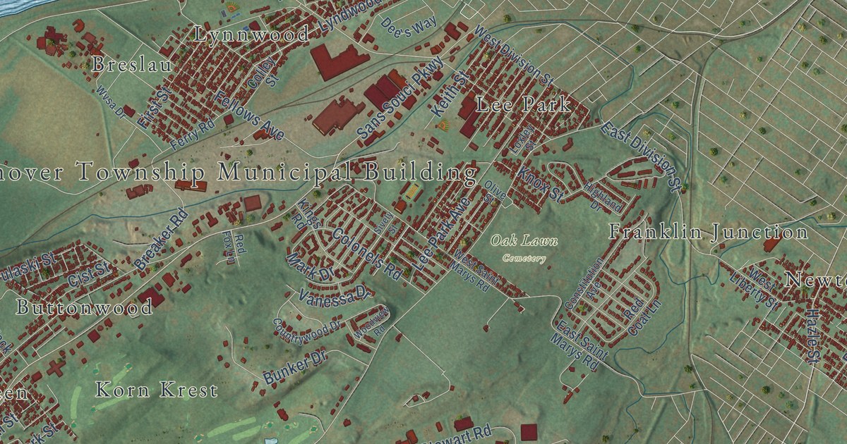
This beautifully detailed map of Hanover, Luzerne County, Pennsylvania was created in 2026 using aerial imagery combined with modern topographical, census, street and landmark data. It’s a one-of-a-kind view of Hanover that combines accurate data with a vintage aesthetic. The map shows every building in its true location, many of the roads carry their names, and the shaded topographic relief shows the shape of the land.
Explore an aerial view of Hanover, Luzerne County, Pennsylvania
On the map you’ll find Hanover Township Municipal Building, Oak Lawn Cemetery, Pinchot State Forest, Saint Mary’s Cemetery, State Game Lands Number 207, Askam, Breslau, Buttonwood, Dundee, Franklin Junction, Hanover Green, Korn Krest, and more. If you look closely you can even find your house accurately drawn in its correct location. Zoom in on the preview to look for yours.
Take a closer look at the Hanover, Luzerne County map
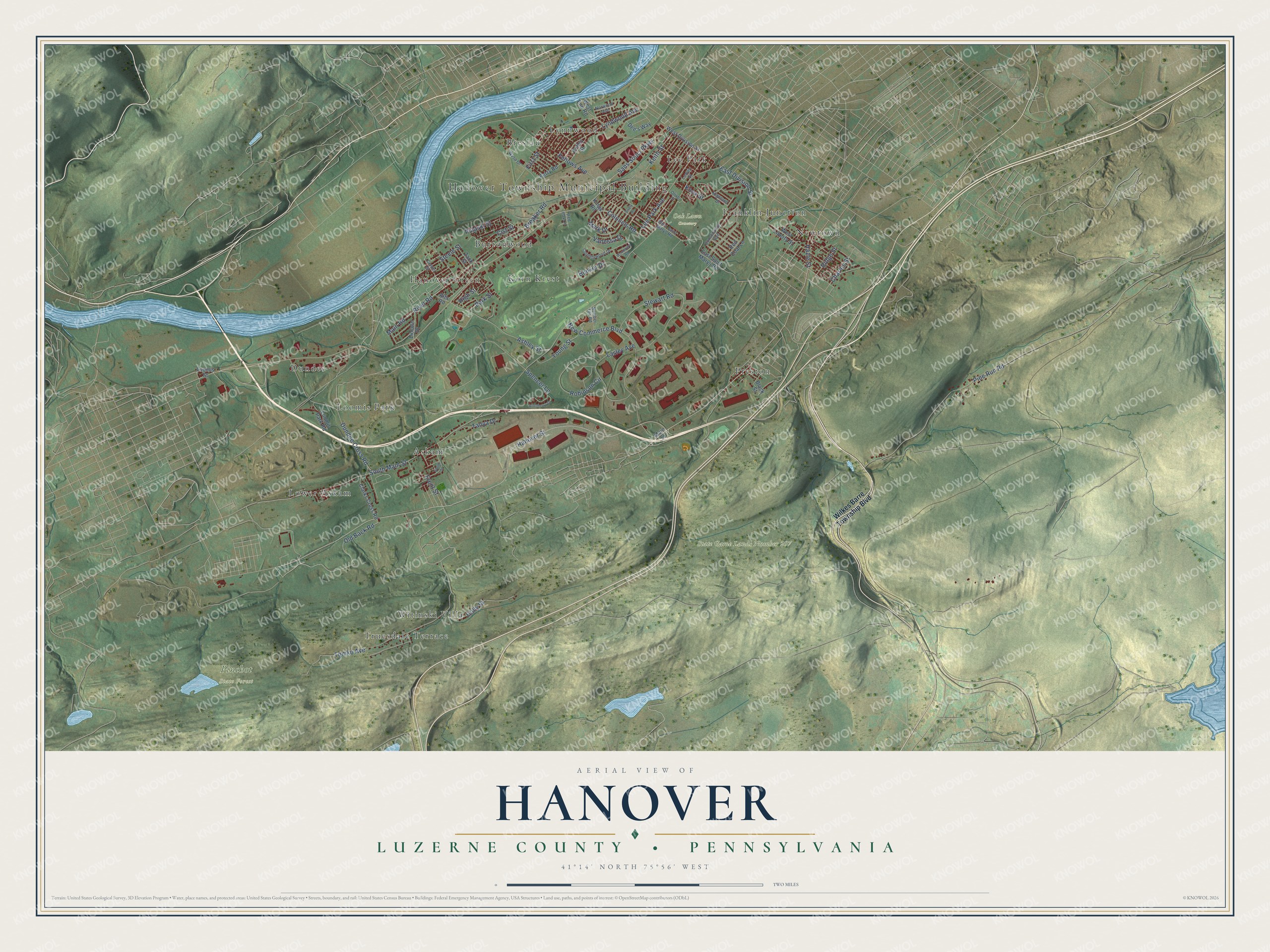
Street and place names on the Hanover, Luzerne County, Pennsylvania map
These names are printed on the map of Hanover, Luzerne County, Pennsylvania.
Places: Hanover Township Municipal Building, Oak Lawn Cemetery, Pinchot State Forest, State Game Lands Number 207, Dundee, Witinski Villa, Hanover Green, Preston, Lower Askam, Newtown, Lynnwood, Askam, Buttonwood, Truesdale Terrace, Lee Park, Franklin Junction, Korn Krest, Loomis Park and Breslau.
Streets and roads: South Main Street, Hanover Street, Sans Souci Parkway, Old Back Road, Hazle Street, River Road, Breaker Road, Main Road, Pine Run Road, Tomko Avenue, New Commerce Boulevard, Stewart Road.
More street names, A to Z
Allenberry Drive, Alta Road, Ashley Street, Black Street, Bunker Drive, Center Street, Charles Street, Cist Street, Clarks Cross Road, Colley Street, Colonels Road, Constitution Avenue, Countrywood Drive, Dee's Way, Dundee Cross Road, East Division Street, East Saint Marys Road, Fellows Avenue, Ferry Road, First Street, Front Street, Highland Drive, High Street, Holly Street, Keith Street, Kings Road, Knox Street, Lasley Avenue, Lee Park Avenue, Lincoln Drive, Loomis Park Road, Loomis Street, Loxley Street, Lyndwood Avenue, Main Street, Mark Drive, Norwood Avenue, Number Ten Road, Olive Street, Park Street, Pulaski Street, Red Coat Lane, Red Fox Lane, Ridge Street, Robinson Circle, Sively Street, South Street, Spencer Lane, Steele Street, Tanya Drive, Vanessa Drive, West Division Street, West End Road, West Liberty Street, West Saint Marys Road, Wilkes Barre Township Boulevard, Woodview Road, Wvsa Drive, Young Street, Zack Street.
See the Hanover, Luzerne County, Pennsylvania map on a wall
The Hanover, Luzerne County map as an 18 x 24 inch print in a black frame.

This beautifully detailed map of Hanover, Luzerne County makes an attractive addition to your office, library, or den, and it can even be used to teach children the geography and history of the area. It also makes a great gift for someone who left Hanover and still calls it home. When you’re done exploring, click here to get your copy of the Hanover, Luzerne County map.