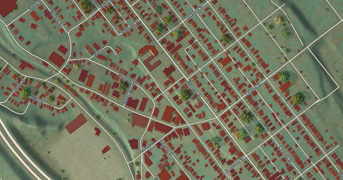
If you grew up in Luzerne, or still have family on Bennett Street or Main Street, this map has your streets on it. It's a modern aerial view of Luzerne borough in Luzerne County, Pennsylvania, made from modern data and given a vintage look. The town runs in a long band of red buildings between the shaded mountain and a wide highway. Main Street, Bennett Street, Union Street and Mill Hollow Road are all printed by name.
From Bennett Street to Mill Hollow Road
Start where Main Street meets Bennett Street near the middle of the sheet. Bennett Street is the long one. It runs from the hills at the top down to the lower right end of town. Miller Street and Charles Street run right beside it. Chapel, Jackson and Academy Streets cross Bennett, Miller and Charles Streets. Chestnut Street crosses Bennett and Charles Streets. Now follow Bennett Street up toward the top. Near the hillside, Raub Street turns off to the west and meets Klondike Lane.
Go back to Main Street at Bennett Street and follow it west toward Courtdale Avenue. Linden Street and Allen Street also meet Main Street on the left side of the sheet. Back in the middle, take Union Street south. It meets Mill Street and Tener Street, then reaches Mill Hollow Road near the bottom. Fulton Street and Factory Street are close by. Many streets are labeled, and each red shape is a building, so zoom in on the preview and look for yours.
Why Hartseph became Mill Hollow in 1866
Before it was Luzerne, the village was called Hartseph. The name honored Zachariah Hartseph, an early settler. In 1889, John Mathers wrote down what the town was like fifty years before. His account was printed in the 1893 History of Luzerne County. His account starts at Bennett station, then follows Bennett Street past old houses. As he goes, he names who built many of the old houses. A few days later, Mathers and descendants of old friends listed the town's firsts at a dinner. Josiah Squires built Luzerne's first house, a log home on Tobey Creek.
Mills run all through his story. Raub's white mill was built in 1812 by James Hughes Sr. The old red mill went up in 1839. Charles and John Mathers built it. They were two young millwrights, and it was the first mill they built after their training. In 1866 the village got its first postmaster, E. Walter Abbott. That's when the name changed from Hartseph to Mill Hollow, because there were four mills there. The borough of Luzerne was formed in 1882 from part of Kingston Township. Look near the bottom of the map, where Union Street meets Mill Hollow Road. You can still see Mill Hollow in the road name.
For anyone who grew up near Main and Bennett Streets
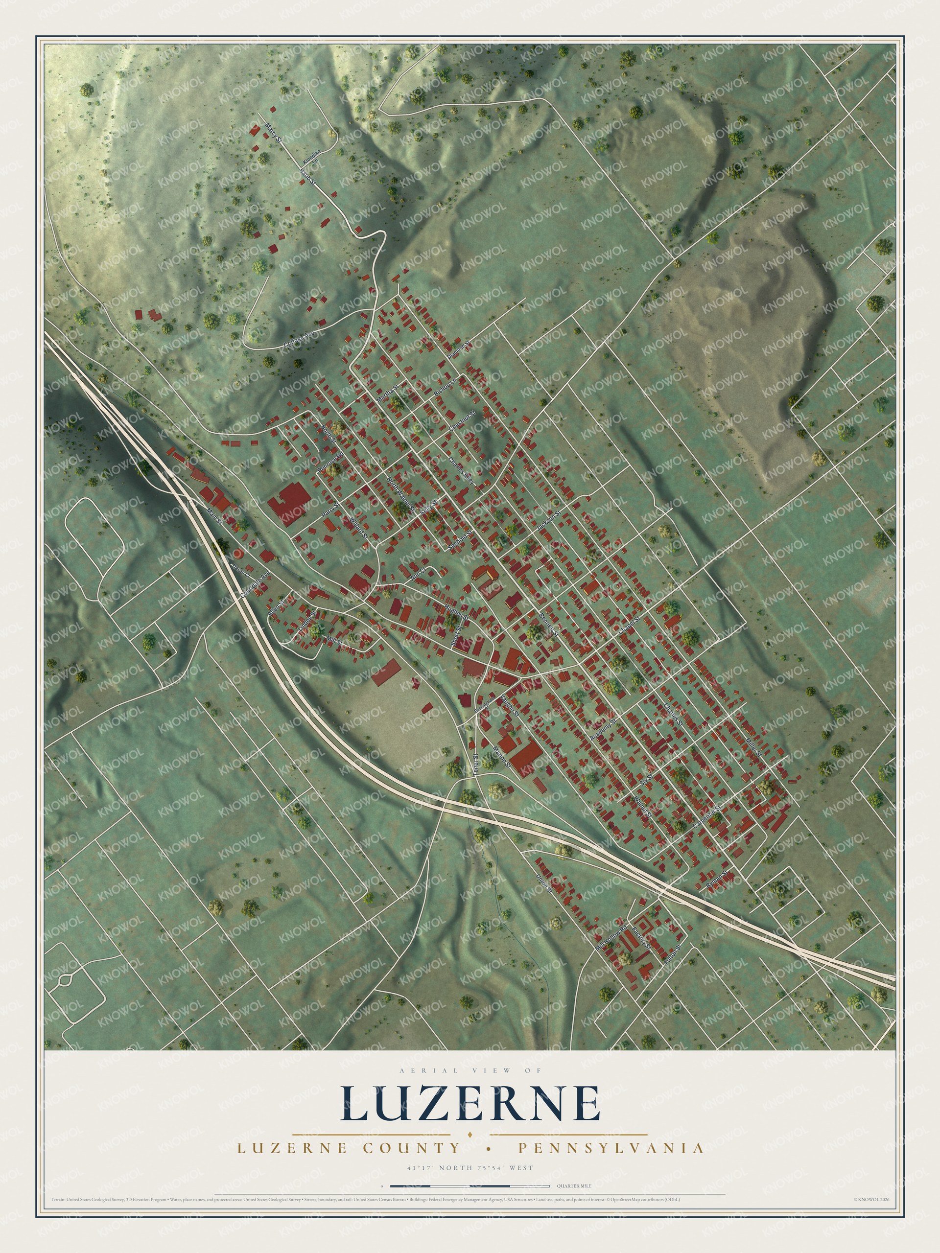
Created by KNOWOL in 2026, this Luzerne map shows the town's long grid of red buildings on green, shaded hills. The mountain rises at the top left, and a wide highway sweeps across toward the lower right. The shaded hills come from USGS elevation data. The title panel has "Aerial View of" above "Luzerne" and "Luzerne County • Pennsylvania" below, with coordinates 41°17' North, 75°54' West and a quarter-mile scale bar.
It suits a kitchen, a den or an office wall. It's a thoughtful gift for someone who grew up near Bennett Street and moved away, or for family who still live in town. Open the preview and find a street you know. See sizes and frames for the Luzerne, Luzerne County map.