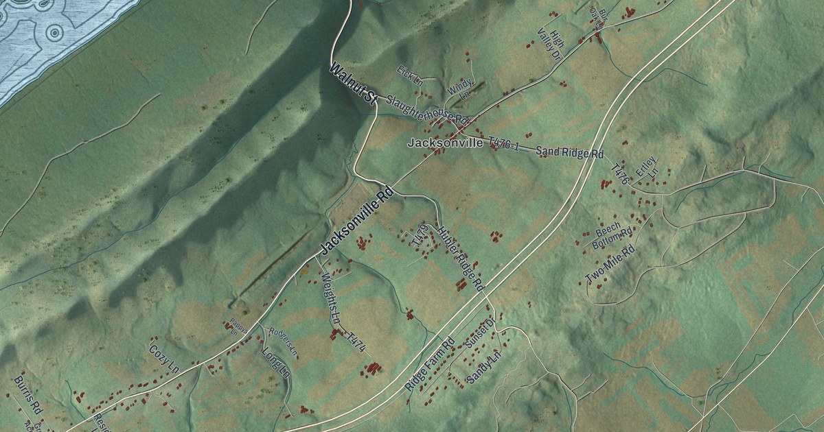
If you grew up around Jacksonville, or your family still lives out along Jacksonville Road, this map gives you a lot to find. It's a modern aerial view of Marion Township in Centre County, Pennsylvania, made from modern data and given a vintage artistic feel. Long green ridges run from corner to corner. A wide blue lake fills the upper left. The red building marks of Jacksonville sit near the middle, with roads and lanes spread out along the valley.
From Jacksonville along Jacksonville Road
Start in Jacksonville, near the middle of the sheet. Walnut Street comes down from the top, crosses the long ridge and meets Jacksonville Road in the village. Slaughterhouse Road and Windy Lane are right there too. Sand Ridge Road heads east out of town toward Ertley Lane. Hubler Ridge Road runs southeast from Walnut Street, with Ridge Farm Road, Sandy Lane and Sunset Drive branching off it.
Now follow Jacksonville Road southwest along the valley. Weights Lane, Long Lane and Cozy Lane branch off it, and farther on you'll pass Burris Road and Grove Lane. Go the other way and the road heads northeast toward Hidden Valley Lane and Gun Powder Lane. In the top right corner, Nittany Ridge Road links Caprio Lane, Eagle Drive and Farmdale Road. Many roads are labeled, and each red shape is a building, so zoom in on the preview and look for yours.
Jacksonville on the Eakin tract
The 1883 History of Centre and Clinton Counties says Charles Lukens began surveying land here on November 4, 1769. The first tract it names is Andrew Eakin's. The book places Jacksonville and Lick Run Presbyterian Church on that tract.
The same county history says a house built by Uncle Jimmy was still standing in Jacksonville when the book was written. The book says the house was thought to be one of Jacksonville's oldest and stood at the corner of the road leading to Snydertown. To find Jacksonville on this print, look where Walnut Street meets Jacksonville Road.
For someone from Jacksonville
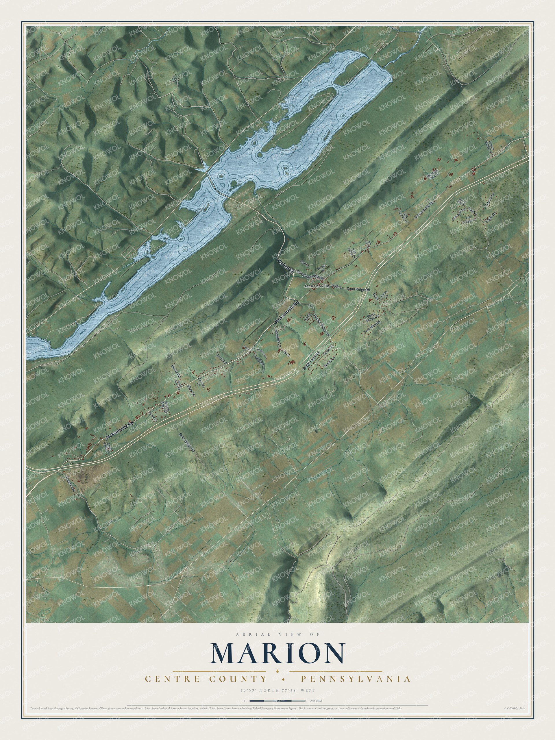
Created by KNOWOL in 2026, this map of Marion Township fits a kitchen, a den or an office wall. The shaded ridges come from USGS elevation data, and the roads come from Census Bureau records. The title panel reads "Aerial View of Marion, Centre County, Pennsylvania," with the coordinates 40°59' North, 77°38' West and a one-mile scale bar.
It's a thoughtful gift for someone who grew up near Jacksonville, moved away, or still has family along Jacksonville Road. Open the preview, zoom in on Jacksonville and find the road you know. See sizes and frames for the Marion, Centre County map.