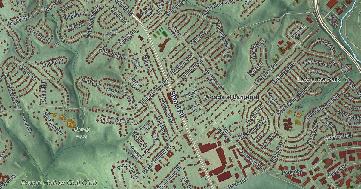
If you grew up in Broomall or Lawrence Park, or you still drive Sproul Road and West Chester Pike most days, this map has your streets on it. It's a modern aerial view of Marple Township in Delaware County, Pennsylvania, made from modern data and given a vintage look. Red building shapes cluster around Broomall and Sproul Road. The hills are shaded green, and a blue lake fills much of the left side. Kent Park, Hildacy Preserve and Paxon Hollow Golf Club are all named.
Sproul Road past Broomall and Woods at Langford
Start in Broomall, near the top right, where North Sproul Road crosses West Chester Pike. Follow Sproul Road south into the middle of the township. Lawrence Road branches off to the east, toward Woods at Langford and Lawrence Park. Keep going south. Paxon Hollow Road comes in from the west, and Crum Creek Road bends off to the southwest. Delco Woods sits east of Sproul Road. Saints Peter and Paul Cemetery is farther south, west of the road. Sproul Road continues south, with Marplewoods just to its west near the bottom of the map.
Now go back up Sproul Road and take Cedar Grove Road west. It passes Kent Park, with Paxon Hollow Golf Club just below it. At Newtown Street Road you're in Erin Rose. Head south to Palmers Mill Road, where Hildacy Preserve and Worrell sit near the edge of the lake. Go back north on Newtown Street Road to Media Line Road. Follow Media Line Road north past Marplewood Villa, Larchmont Square and Valley View. Many of the roads are labeled, and each red shape is a building, so zoom in on the preview and look for yours.
The Thomas Massey House on Lawrence Road
The Thomas Massey House stands near Lawrence and Springhouse Roads, according to the state marker and National Register entry. Its state historical marker says Thomas Massey owned 300 acres here by 1696. He built the brick part of the house before 1708. About 1730, his son put up a stone middle section in place of a wooden one. A stone kitchen came about 1800, and a room was added above it about 60 years later. In 1964 the house passed to Marple Township, which restored it. It's now on the National Register.
Langford Road and Woods at Langford are both named on the map near Lawrence Road.
A gift from Broomall to Paxon Hollow
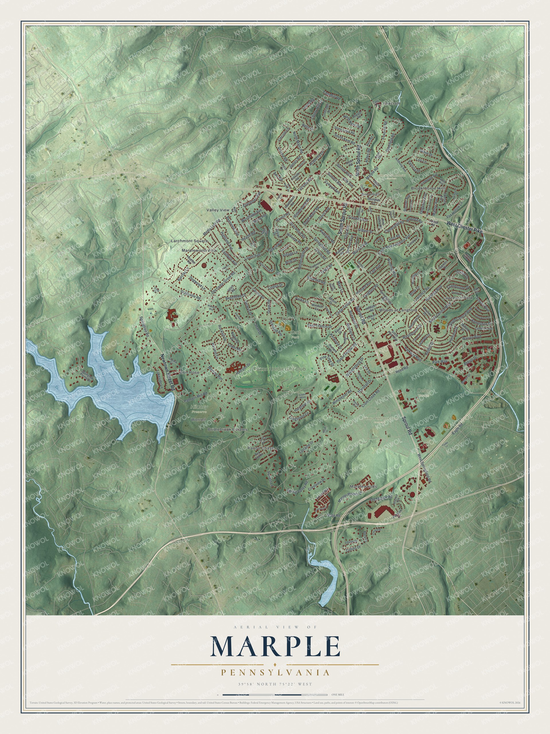
Created by KNOWOL in 2026, this Marple map fits well in an office, a den or a family room. USGS elevation data gives the hills their shading, and the deep red buildings sit on soft green ground. The title panel reads "Aerial View of Marple, Pennsylvania," with the coordinates 39°58' North, 75°22' West and a one-mile scale bar.
It's a thoughtful gift for anyone who grew up in Broomall and moved away, or who still has family near Kent Park or Paxon Hollow Golf Club. Open the preview and follow Sproul Road to the street you know. See sizes and frames for the Marple map.