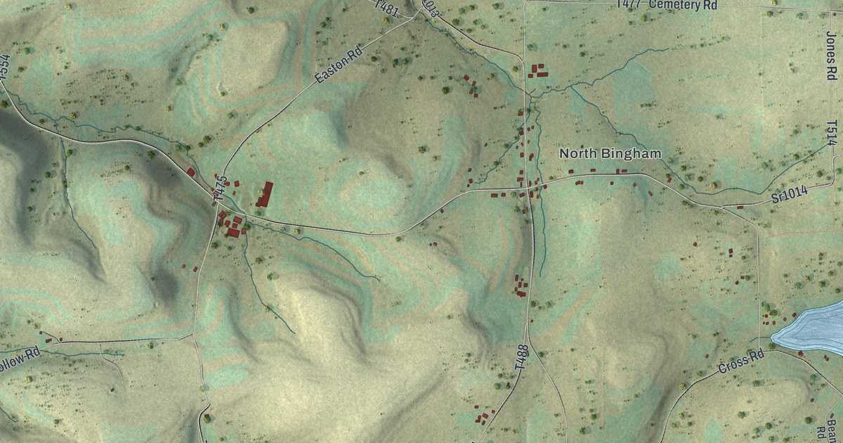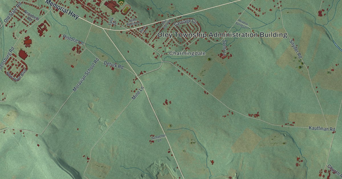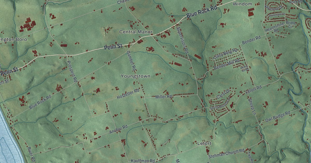
If you grew up in Manor Township, from Washington Boro by the river to the streets off Millersville Road, this map has plenty for you to find. It's a modern aerial view of Manor Township in Lancaster County, Pennsylvania, made from modern data and given a vintage look. A wide blue river with long islands runs down the left side. A thin creek winds down the right side and meets it near the bottom. In between, more than 23,000 buildings are drawn in dark red on green, shaded hills.
From Washington Boro down River Road
Start at Washington Boro, on the river side of the sheet. Water Street runs along the water there, and Penn Street and Charlestown Road head east out of town. Now take River Road south along the river. You'll pass Blue Rock Road and Anchor Road, then Creswell and Highville as the road bends east. Letort Road and Breneman Road branch off inland. Safe Harbor Road comes down through Letort to meet River Road near the bottom.
Go back to Washington Boro and follow Charlestown Road east across the whole township. It ends up at Millersville Road in the top right. Millersville Road runs past Fairview Park, Wynn Wood Manor and West Ridge. Columbia Avenue runs along the top, past Donerville, Manor Ridge and West Lancaster. In the middle, Blue Rock Road passes Central Manor and Windom. Lots of roads carry their names, and each red shape is a building. Zoom in on the preview and find your own road.
The Conestoga town near Letort
People lived by this river long before the township. A state marker at Washington Boro says the area has one of the biggest groups of archaeological sites in Pennsylvania, covering 11,000 years. The Conestoga people had a town here too. A Pennsylvania historical marker near Letort says William Penn visited the Conestoga people in 1701 and made treaties with them. The 1924 marker places their village on land in the Penn family's Conestoga Manor. The marker says their village stood chiefly west of the plaque near Letort. In 1763, a frontier mob called the Paxton Boys killed Conestoga people. The last Conestogas were taken to the Lancaster jail for safety. The mob killed them there too, and no one was arrested. A 1924 plaque calls the place Conestoga Indian Town.
The state's record for a 1924 plaque places it where Safe Harbor Road meets Indian Marker Road, near Letort. Find Letort in the middle of the sheet and follow Safe Harbor Road south to that corner. Near Letort, Safe Harbor Road meets Indian Marker Road, both named on the map. Herr Street is back by Washington Boro, while Hostetter Road and Miller Road run through the middle of the sheet. Witmer Road is farther south, near Safe Harbor Road.
For families from Washington Boro to West Lancaster
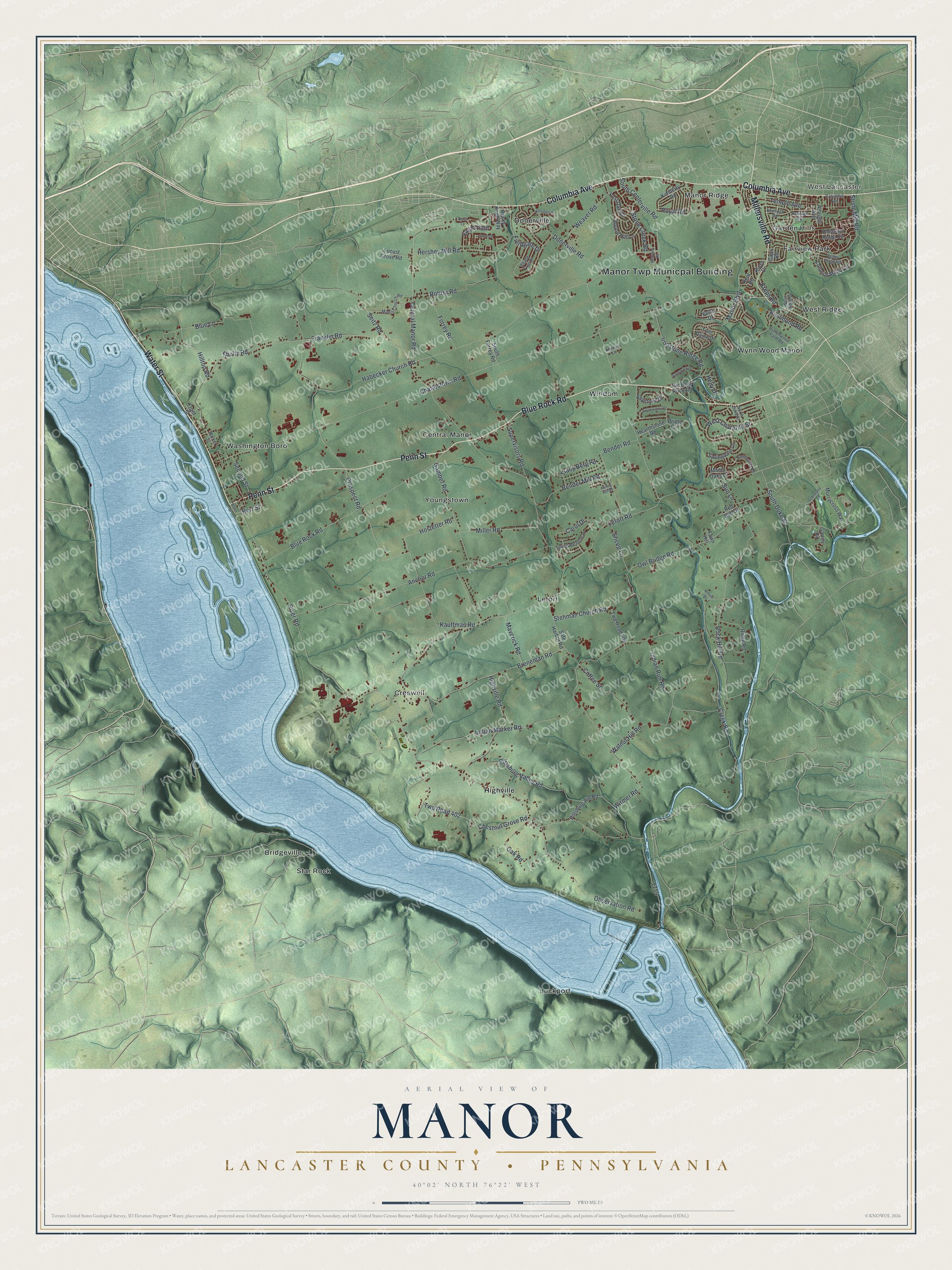
Created by KNOWOL in 2026, this map of Manor Township suits a living room, a den or a farmhouse kitchen. The hills are shaded from USGS elevation data, and the river is drawn in soft blue with its islands. The title panel says "Aerial View of Manor" and names Lancaster County, Pennsylvania. It lists 40°02' North, 76°22' West.
It's a thoughtful gift for someone who grew up in Washington Boro or out along Blue Rock Road, or anyone with family roots in Manor Township. Open the preview, find Letort or your own road, and trace the way home from the river. See sizes and frames for the Manor, Lancaster County map.