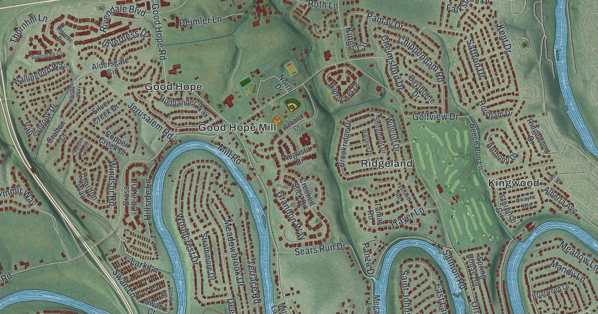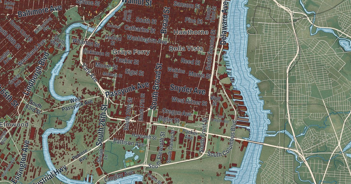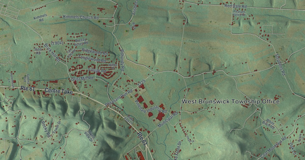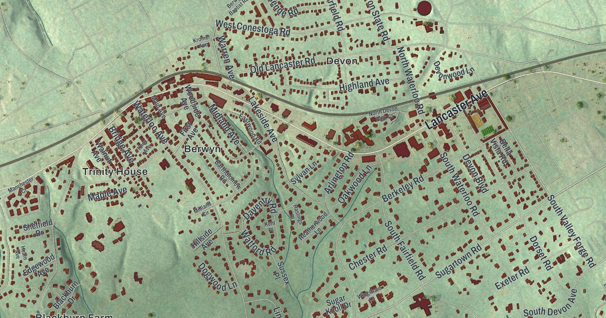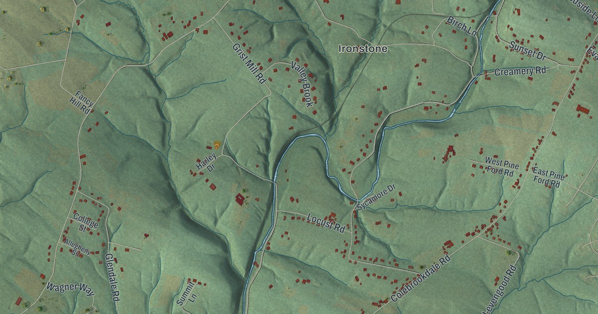
If you grew up along Pine Forge Road or went to Pine Forge Academy, this map shows the hills you know. It's a new aerial view of Douglass in Berks County, Pennsylvania, made from modern data and given a vintage look. Green hills fill the sheet, and a blue creek winds down the middle. Small red shapes mark the buildings, from Greshville and Little Oley at the top to Pine Forge in the center.
Thomas Rutter and Pine Forge
On this map you'll find Reading Avenue, West High Street, Pine Forge Road, Farmington Avenue, Old Philadelphia Pike, Colebrookdale Road, Grist Mill Road, Hill School Road, Creamery Road, Furnace Hill Road, Rattlesnake Hill Road, Pine Forge, Ironstone, Little Oley, and more. Each red shape is a building, so zoom in on the preview and look for yours.
Iron came early to Douglass. A state marker from the Pennsylvania Historical and Museum Commission tells the story. Thomas Rutter was a pioneer ironmaster. He built Pennsylvania's first ironworks nearby in 1716. In the next ten years, he built Pine Forge and a mansion. Rutter was also against slavery. He died in 1730.
Pine Forge and the Underground Railroad
His mansion had a second life. In the 1800s, it was a stop on the Underground Railroad. Then in 1945, Pine Forge Academy was founded there. The marker stands at the school on Pine Forge Road. Find Pine Forge near the center of the sheet, beside the winding blue creek.
From Pine Forge to Greshville
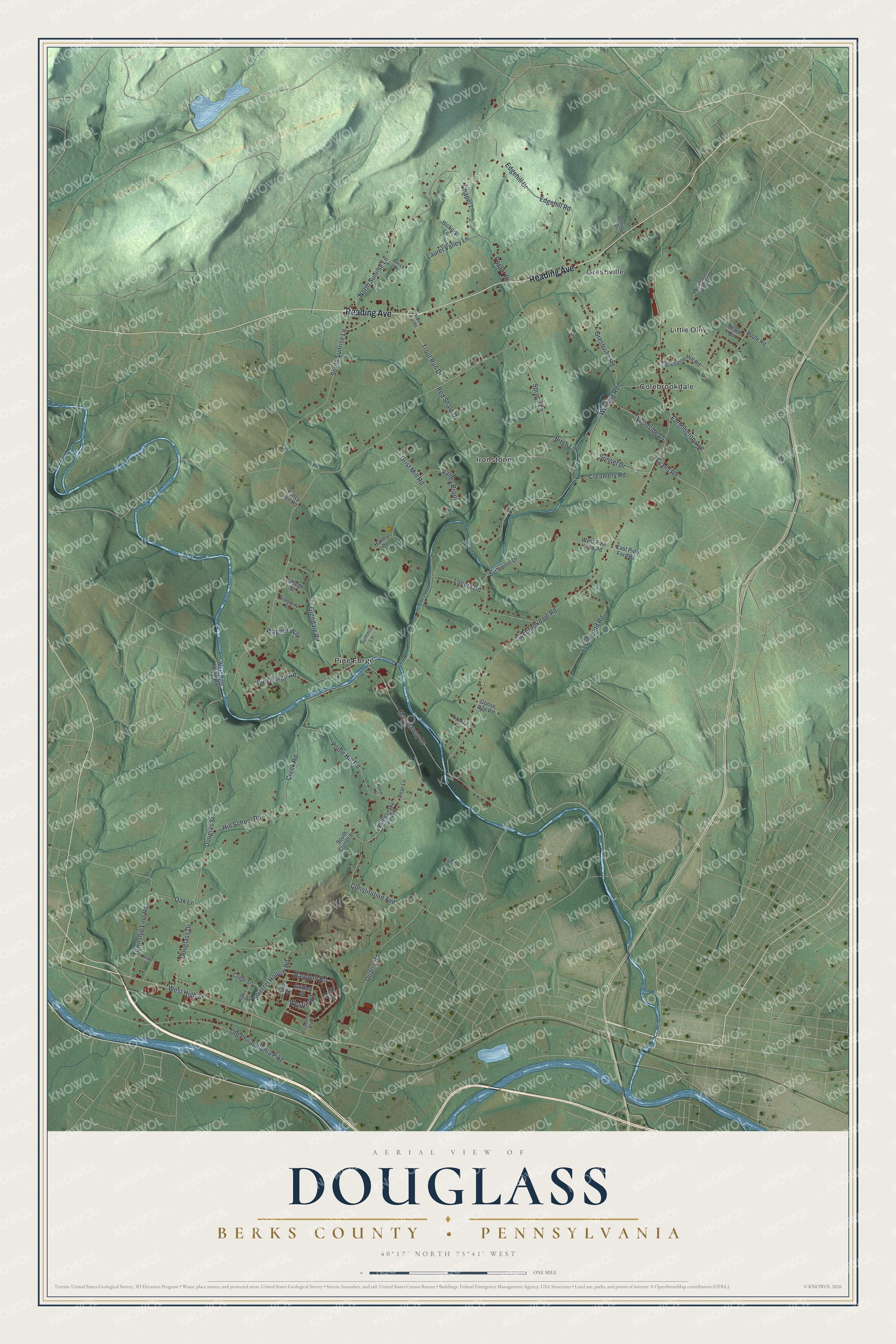
Created by KNOWOL in 2026, this print shows Douglass in soft greens and blues, with shaded hills, winding water and small red buildings. The title panel at the bottom reads Aerial View of Douglass, Berks County, Pennsylvania, with the coordinates 40°17' North 75°41' West.
It suits a living room, a den or a front hall. It's a good gift for a Pine Forge Academy graduate, or for someone who grew up near the Ironstone Bridge on Farmington Avenue. Open the preview and find your road. See sizes and frames for the Douglass, Berks County map.