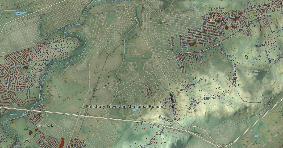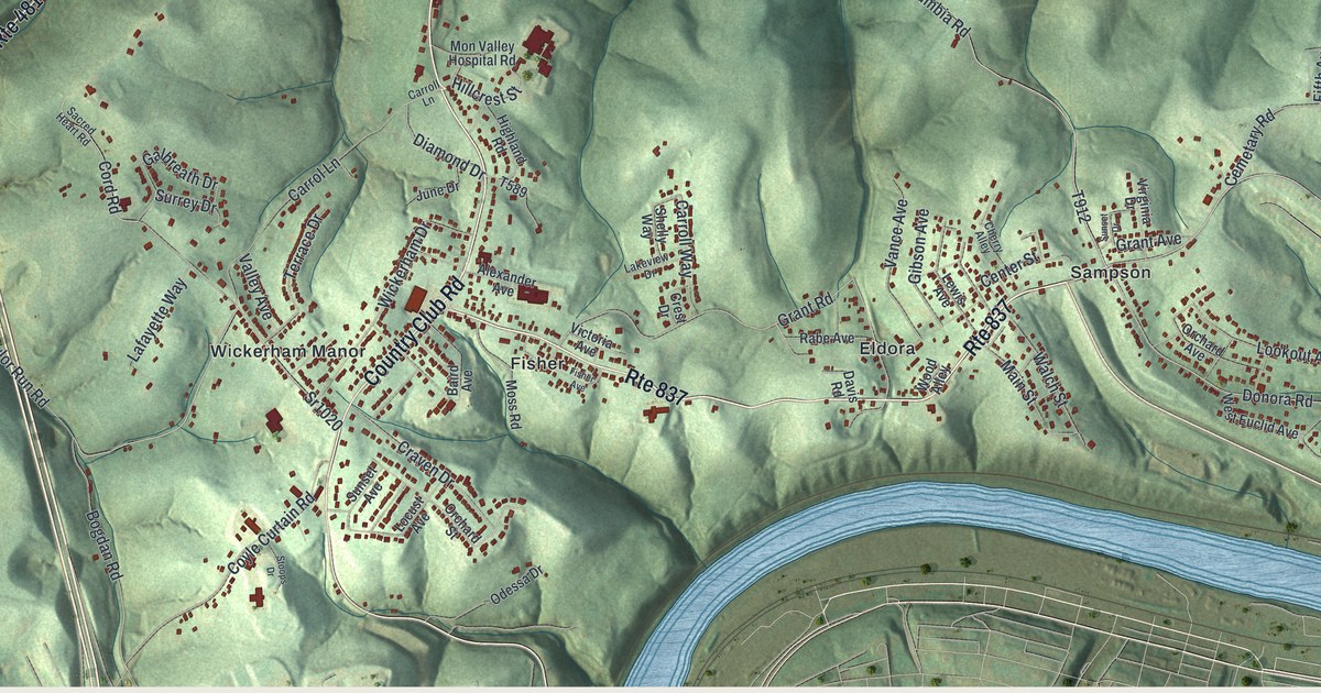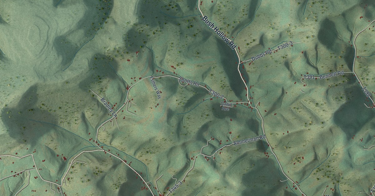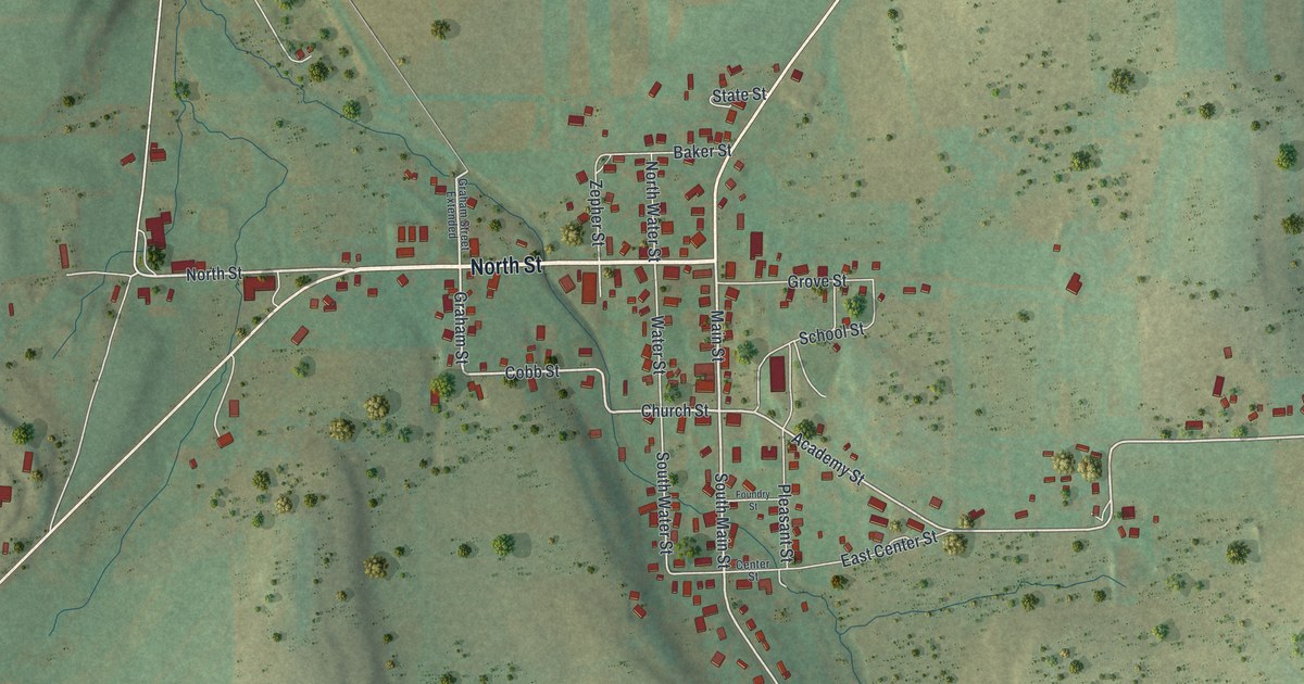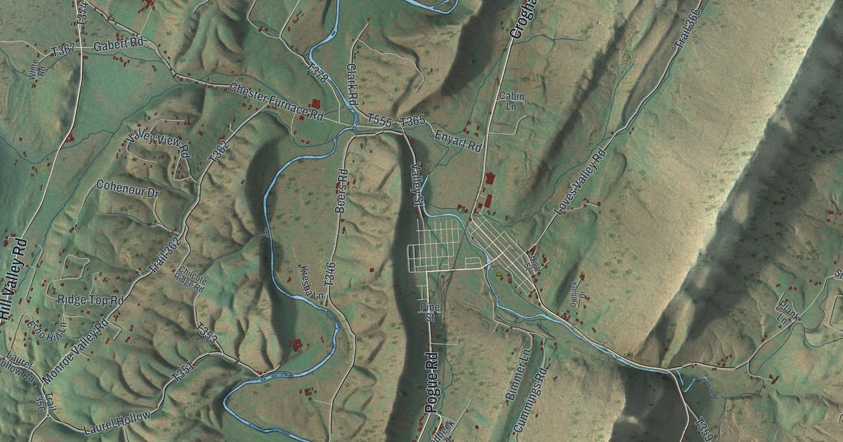
If you grew up along Croghan Pike or out Hill Valley Road, this map is for you. It's a new aerial view of Cromwell Township in Huntingdon County, Pennsylvania, made from modern data and given a vintage look. Long ridges sweep across the sheet from corner to corner. A blue creek winds down the middle, and small red buildings sit along the roads. Rothrock State Forest and State Game Lands Number 99 fill the top left.
Croghan Pike, Pogue and the roads of Cromwell
On this map you'll find Croghan Pike, Maddensville Pike, Hill Valley Road, Pogue Road, Blacklog Valley Road, Aughwick Creek Road, Covered Bridge Road, Chester Furnace Road, Spring Creek Road, Laurel Mountain Road, Jacks Tower Road, McKendree Church Road, Pogue, Rothrock State Forest, and more. Each red shape is a building, so zoom in on the preview and look for yours.
Bedford Furnace, the first in the Juniata region
A state marker from the Pennsylvania Historical and Museum Commission calls Bedford Furnace the first iron furnace in the Juniata region. It was finished about 1788. It stood on Black Log Creek, just below the spot where Shade Creek joins it. The furnace became famous for good charcoal iron. An 1876 county history names the three men who built it: Edward Ridgley, Thomas Cromwell and George Ashman. People called them the Bedford Company. They owned many thousands of acres of land.
More furnaces and forges followed along the streams here, built between 1790 and 1850. A second marker nearby says Juniata iron was the best in America. That time ended when coal and coke took over iron making. On the map, Blacklog Valley Road and Shade Creek Lane share their names with the furnace's two creeks. Both markers stand along US 522, the road printed here as Croghan Pike.
Cromwell, from Rothrock State Forest to Croghan Pike
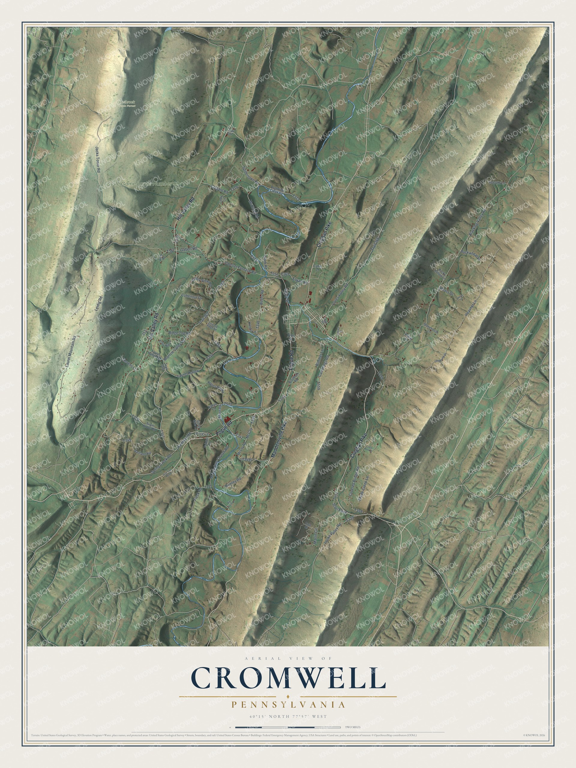
Created by KNOWOL in 2026, this print shows Cromwell's long green ridges and winding blue creek in soft aerial color, with small red buildings along the roads. The cream title panel at the bottom reads Aerial View of Cromwell, Pennsylvania, with 40°15' North 77°57' West beneath it.
It suits a den, a farmhouse hallway or a cabin wall. It makes a good gift for someone who grew up near Pogue, or who spent weekends in Rothrock State Forest and moved away. Open the preview and find your road. See sizes and frames for the Cromwell map.