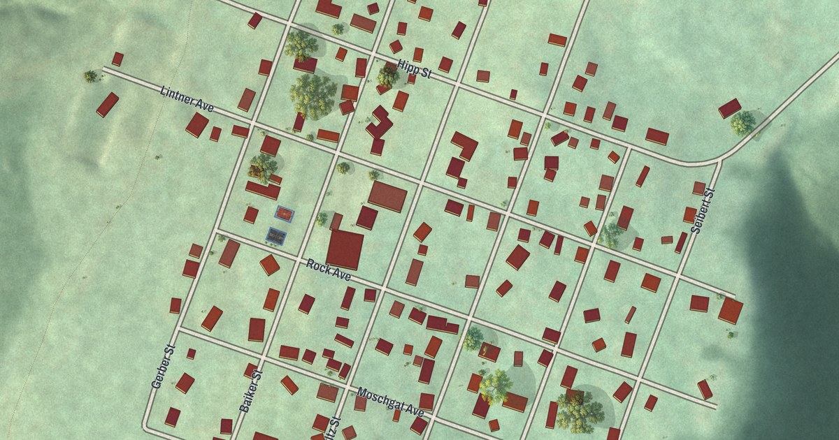
If you grew up on Rock Avenue or still have family on Hipp Street, this map shows your block from above. It's a modern aerial view of Daisytown in Cambria County, Pennsylvania, made from modern data and given a vintage look. The town's small grid of streets sits in the middle of the sheet, packed with red buildings. Deep green valleys drop away on two sides, and a wide highway curves across the bottom.
Rock Avenue, Hipp Street and the Daisytown grid
On this map you'll find Rock Avenue, Hipp Street, Lintner Avenue, Moschgat Avenue, Montag Avenue, Gerber Street, Baiker Street, Boltz Street, Vogel Street, Cover Street, Seibert Street, and more. Each red shape is a building, so zoom in on the preview and look for yours.
How Daisytown became a borough in 1893
Daisytown wasn't always its own town. It was part of Conemaugh Township until a court decree on June 9, 1893, made it a borough. The 1907 History of Cambria County records that date, along with the court docket and page. The same book lists Daisytown borough with 435 people. The 2020 census counted 298. On the map, the town's grid is just a few blocks each way, and you can take it in at a glance.
The old history also follows the Stonycreek as it gathers its water. Near the end of that stretch, it says, a run flows in from the direction of Daisytown. The book calls it the last stream of note the Stonycreek receives. On the map, you can see how steeply the land falls from the grid into the green valleys below.
Keep Rock Avenue and Daisytown close
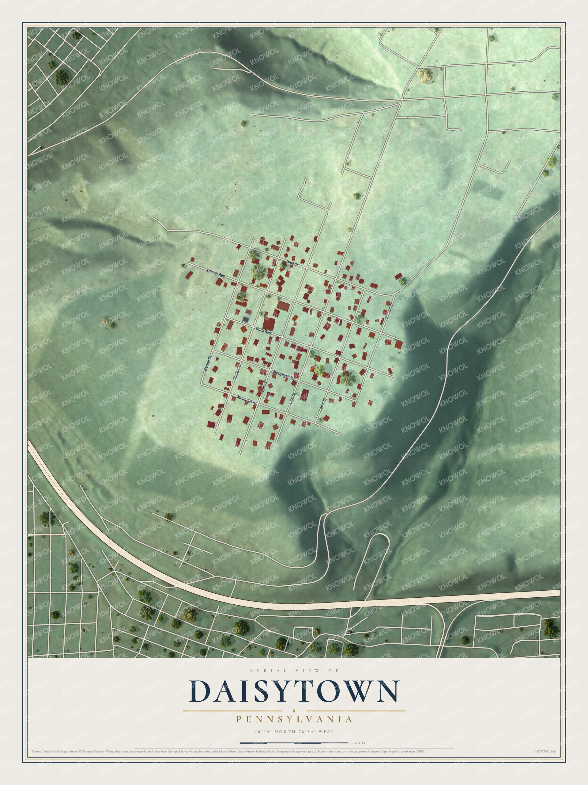
Created by KNOWOL in 2026, this print shows Daisytown from above in soft greens, with shaded hills, pale roads and red buildings. The title panel reads "Aerial View of Daisytown, Pennsylvania" with the coordinates 40°19' North 78°54' West.
It fits a living room, a kitchen or a den. It's a good gift for someone who grew up near Rock Avenue and moved away, or for a family that's lived in Daisytown for years. Open the preview and find your street. See sizes and frames for the Daisytown map.