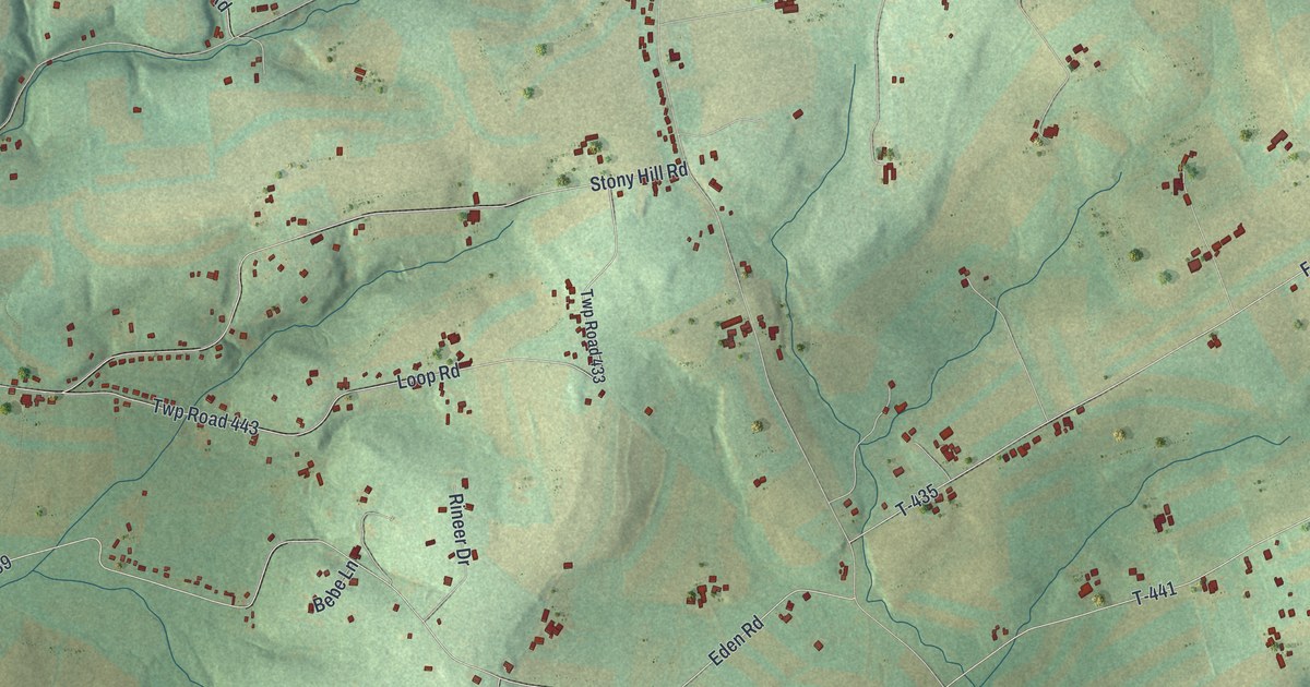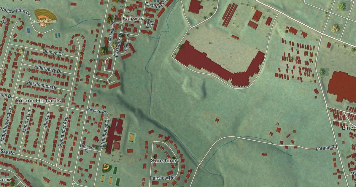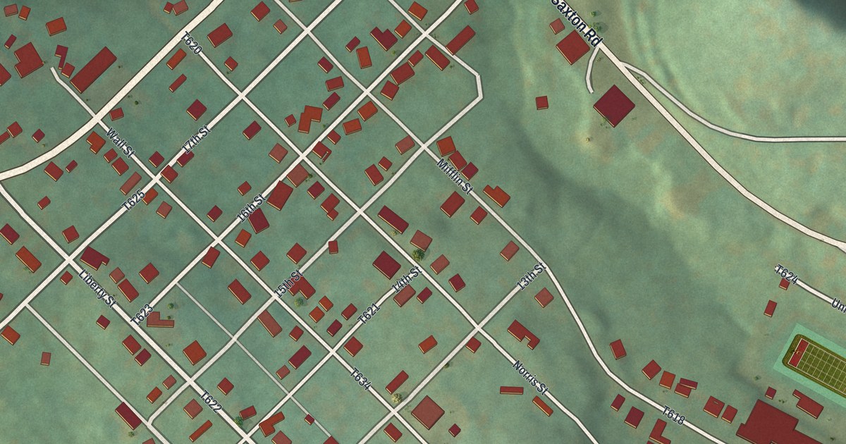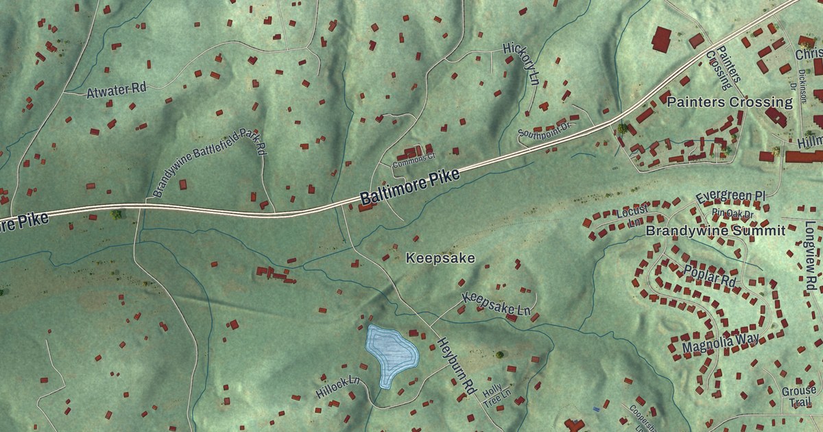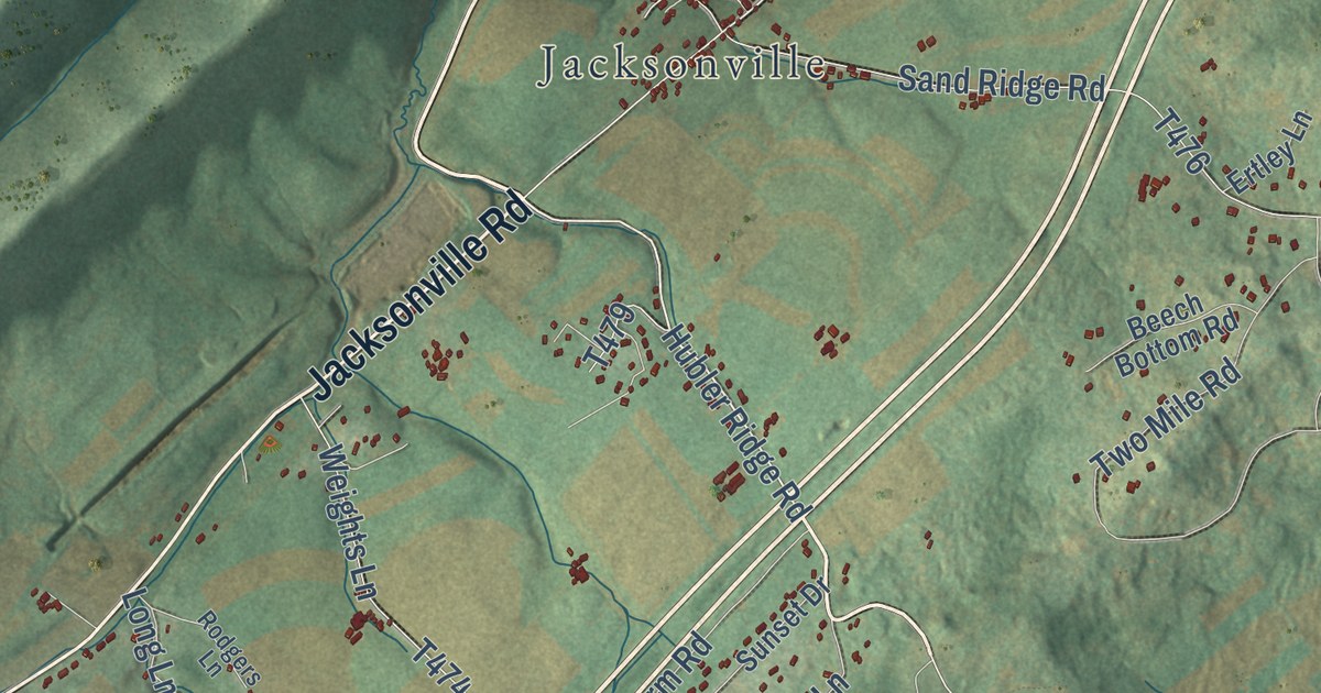
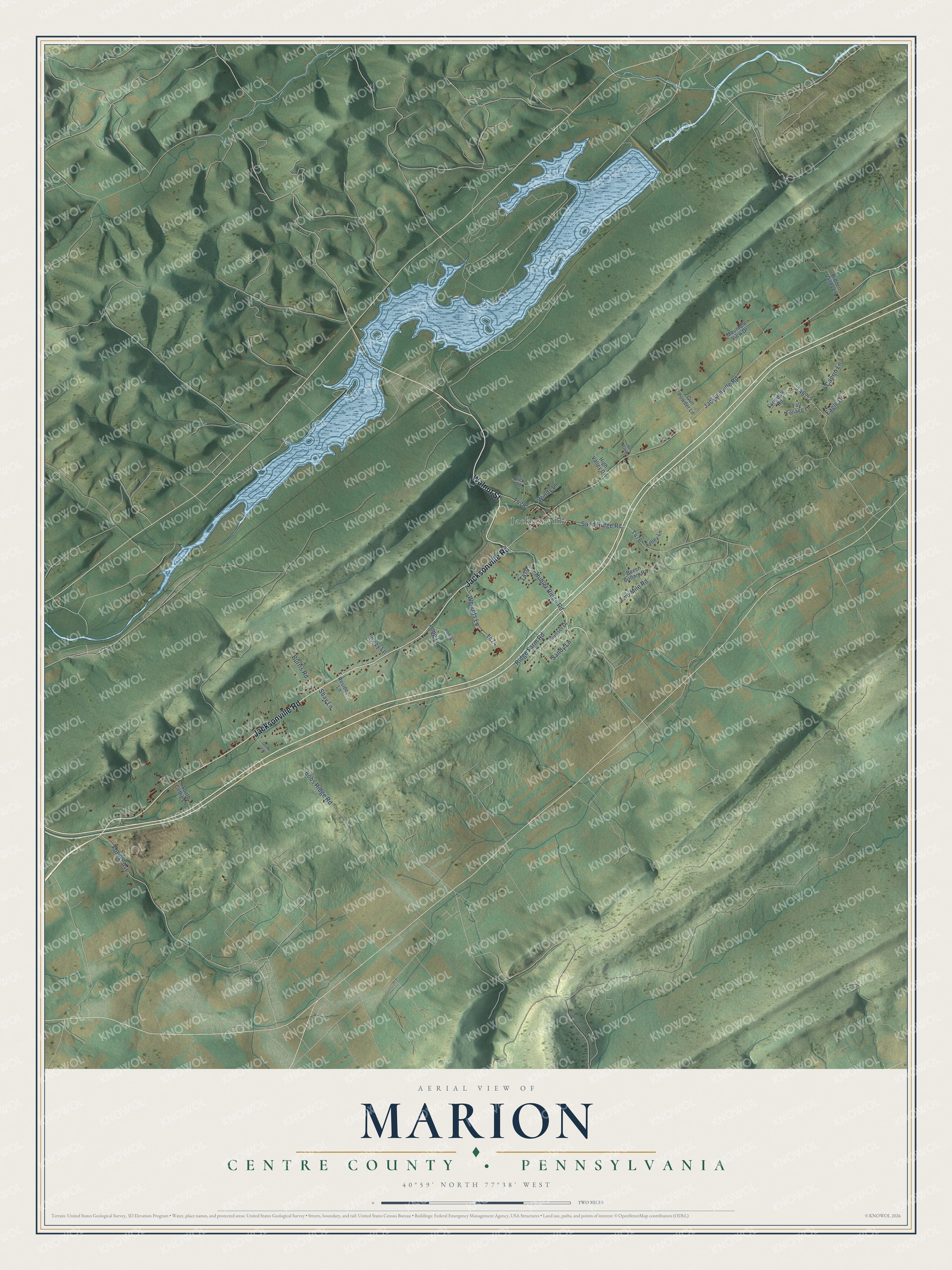
This beautifully detailed map of Marion, Centre County, Pennsylvania was created in 2026 using aerial imagery combined with modern topographical, census, street and landmark data. It’s a one-of-a-kind view of Marion that combines accurate data with a vintage aesthetic. The map shows every building in its true location, many of the roads carry their names, and the shaded topographic relief shows the shape of the land.
Explore an aerial view of Marion, Centre County, Pennsylvania
On the map you’ll find Jacksonville, T476-1, and T467-2, along with Walnut Street, Jacksonville Road, Hubler Ridge Road, Ridge Farm Road, Sand Ridge Road, Forest Avenue, Burris Road, Two Mile Road, and more. If you look closely you can even find your house accurately drawn in its correct location. Zoom in on the preview to look for yours.
Did you know this piece of Marion, Centre County, Pennsylvania history?
The first settlers in Marion Township, two men named McEwen, were driven off by Indians and never returned. Thomas McCalmont took over their clearing by 1787. When his son James died, he had so few neighbors that he dug the grave himself. It was thought to be the valley’s first burial, and the stone reads 1790. That’s from the 1883 History of Centre and Clinton Counties, Pennsylvania.
Take a closer look at the Marion, Centre County map
Street and place names on the Marion, Centre County, Pennsylvania map
These names are printed on the map of Marion, Centre County, Pennsylvania.
Places: Jacksonville.
Streets and roads: Walnut Street, Jacksonville Road, Hubler Ridge Road, Ridge Farm Road, Sand Ridge Road, Forest Avenue, Burris Road, Two Mile Road, Weights Lane, Long Lane, Caprio Lane, Bobs Ridge Road.
More street names, A to Z
Beech Bottom Road, Bur Oak Lane, Cozy Lane, Eagle Drive, Eick Lane, Ertley Lane, Fall Foliage Lane, Farmdale Road, Grove Lane, Gun Powder Lane, Hidden Valley Lane, High Valley Drive, Mountain View Drive, Resides Lane, Rodgers Lane, Sandy Lane, Shay Lane, South Gettig Lane, Sunset Drive, Windy Lane.
See the Marion, Centre County, Pennsylvania map on a wall
The Marion, Centre County map as an 18 x 24 inch print in a black frame.

This beautifully detailed map of Marion, Centre County makes an attractive addition to your office, library, or den, and it can even be used to teach children the geography and history of the area. It also makes a great gift for anyone with Marion roots. When you’re done exploring, click here to get your copy of the Marion, Centre County map.