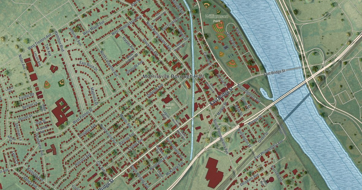
If you grew up in Morrisville, crossed the river to Trenton for work, or have family near the green area labeled Patriots, this map gives you plenty to find. It's a modern aerial view of Morrisville in Bucks County, Pennsylvania, drawn from modern data and finished with a vintage look. The borough's streets fill the middle of the sheet, and each building is marked in red. A wide blue river runs down the right side, with the green area labeled Williamson on its bank and the Calhoun Street Bridge near the top.
East Bridge Street, Williamson and Patriots
Start at Morrisville Borough Hall in the middle of town. East Bridge Street runs east from there and crosses the river. Just north of the hall, the green area labeled Williamson sits on the riverbank. Keep going up the bank and you'll reach the Calhoun Street Bridge. Now head back to the hall and follow West Bridge Street southwest. West Bridge Street heads toward the lower left. Old Lincoln Highway is nearby, where it meets Althea and Barnsley Avenues.
West of the hall, Hillcrest, Osborne and Clymer Avenues run side by side. The green area labeled Patriots sits among them, beside Legion Avenue. Farther west, Doloro Drive curves through a neighborhood of short streets like Rennard Lane and Carlisle Drive. Southeast of the hall, near the river, look for Green Street, Moreau Street and Washington Street. Riverside Drive and East Post Road sit down in the lower right. Many of the roads are labeled, and each red shape is a building, so zoom in on the preview and look for yours.
Robert Morris, George Clymer and General Moreau
The 1876 Bucks County history says Robert Morris lived in a large house in a grove at Morrisville. The same history records Morrisville's first mill in 1772 or 1773. A state historical marker at Legion and Clymer Avenues points to Summerseat. It was George Washington's headquarters from December 8 to 14, 1776, and both Morris and Clymer owned it.
The 1876 county history says General Moreau lived in the same grove house as Morris. The grove house burned on Christmas Day in 1811, and Moreau moved into the brick ferry house. On the map, Moreau Street and Green Street run near each other in the center-right, with Washington Street nearby.
For someone who knows Williamson and Morrisville Borough Hall
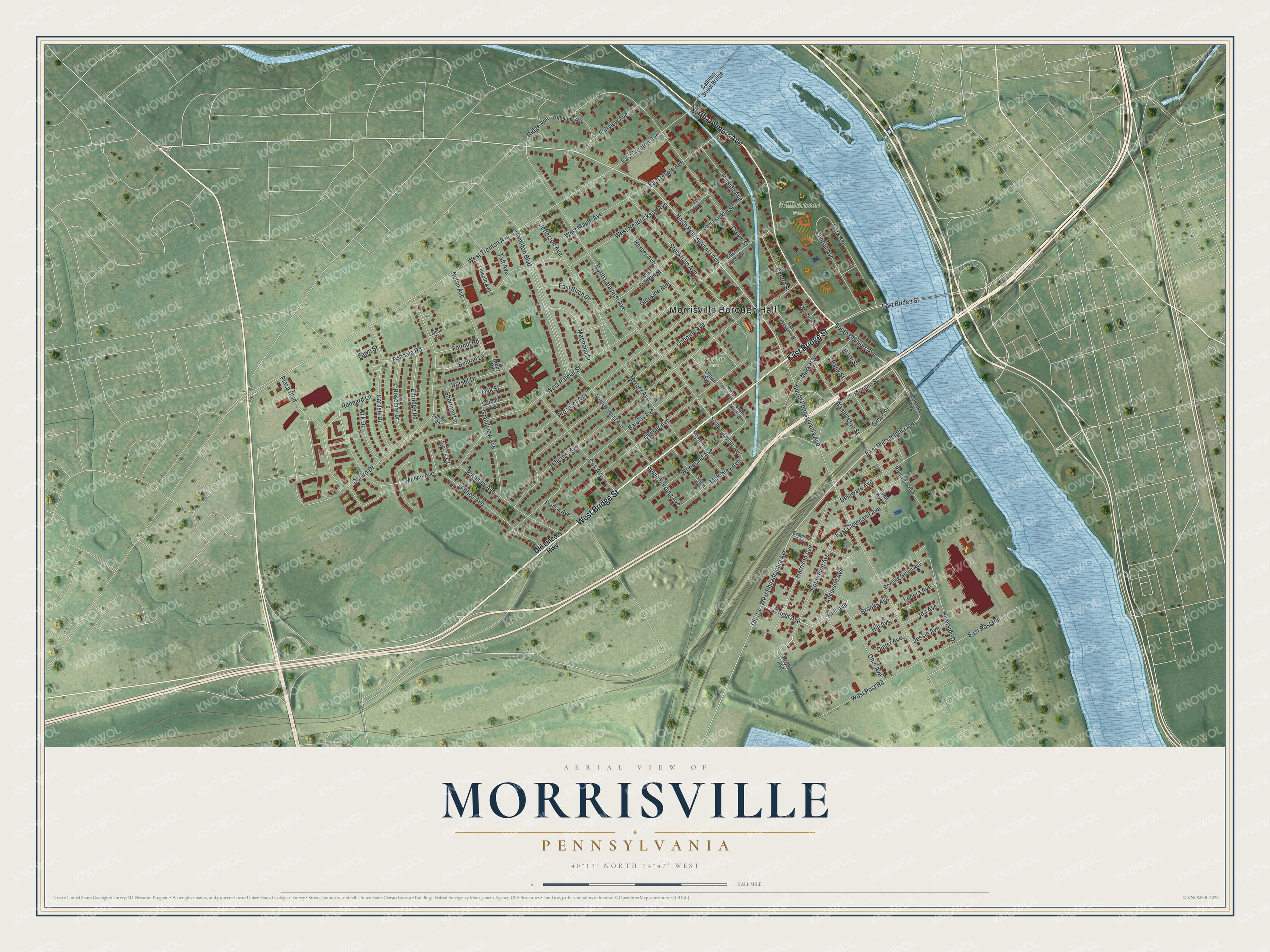
Created by KNOWOL in 2026, this map of Morrisville suits an office, a den or a living room. Green land and a blue river with islands frame the red building shapes. The title panel reads "Aerial View of Morrisville, Pennsylvania," with the coordinates 40°13' North, 74°47' West and a half-mile scale bar.
It's a thoughtful gift for someone who knows the Williamson riverfront, moved away from Bucks County, or still has family on Clymer Avenue. Open the preview, zoom in and find the streets you know. See sizes and frames for the Morrisville map.