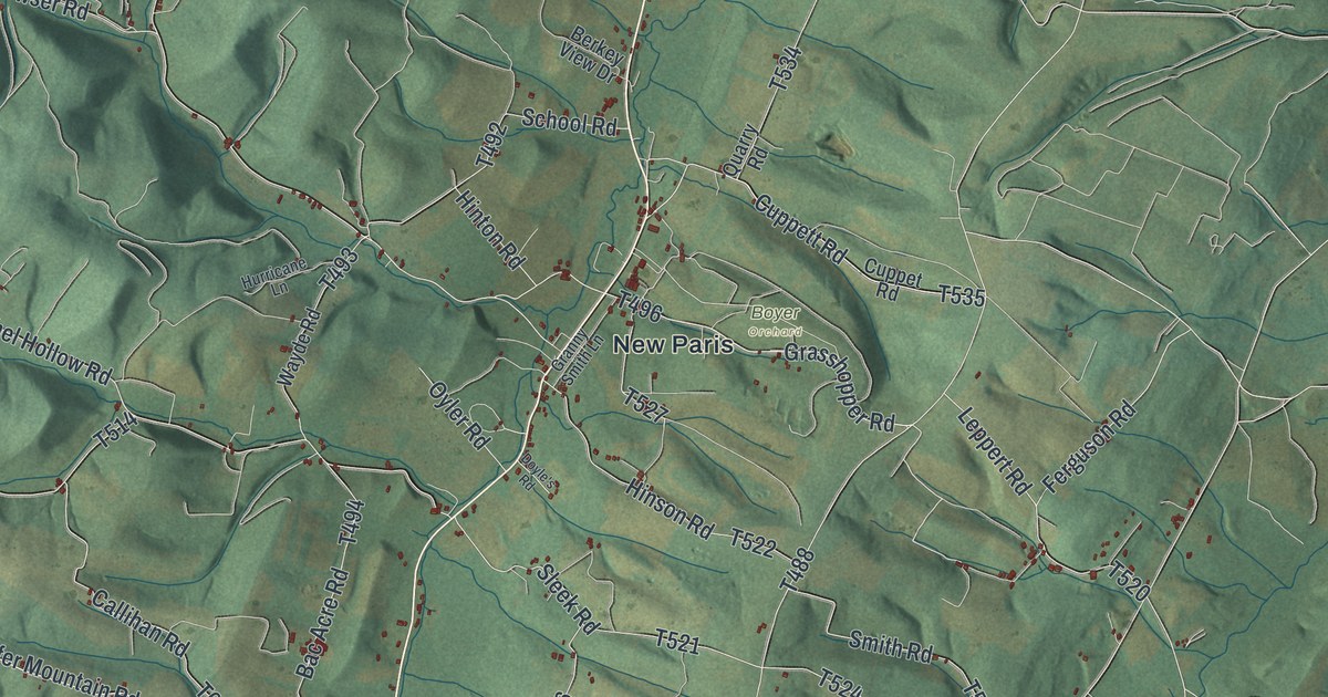
If you grew up around New Paris or Helixville, or you know the lake at Shawnee State Park, this map covers the country you know. It's a modern aerial view of Napier Township in Bedford County, Pennsylvania, made from modern data with a vintage artistic feel. Green shaded hills fold across the whole sheet, and a pale mountain slope runs down the left side. The blue lake of Shawnee State Park sits near the bottom, with Lincoln Highway passing just above it. Small red buildings are scattered along the roads, with more of them around New Paris and Point.
From Shawnee State Park to New Paris and Point
Start at the blue lake near the bottom of the sheet. That's Shawnee State Park, and its name is printed right on the water. Lincoln Highway runs just above it, labeled Pitt Street there. Below the lake, Shawnee Road drops south to Allegheny Road, the long road curving across the bottom. Follow Allegheny Road east. At the lower right, it meets Lincoln Highway. A state marker at that corner says the Forbes Road of 1758 split from Colonel James Burd's 1755 road right there.
Now head back up Lincoln Highway and turn north on Point Road. It passes Tulls Hill Road and Harrison Road on the way to the small settlement of Point. From the middle of the sheet, Cortland Road runs north to New Paris. Along the way, it crosses Chestnut Ridge Road, Sleek Road and Hinson Road. Out west, Helixville Road leads to Helixville, near the pale slope on the left. Many of the roads are labeled, and each small red shape is a building, so zoom in on the preview and look for yours.
The Old Log Church near Lincoln Highway
Near Cemetery Road, a state marker tells another piece of Napier's history. John Schell gave land for a union church, and local Reformed and Lutheran congregations began building its log church in 1806. The marker stands near Lincoln Highway, just west of Schellsburg. Cemetery Road and Lincoln Highway are both named on the map, so you can find the area on the print. Read the state marker record.
For someone who grew up along Lincoln Highway or Point Road
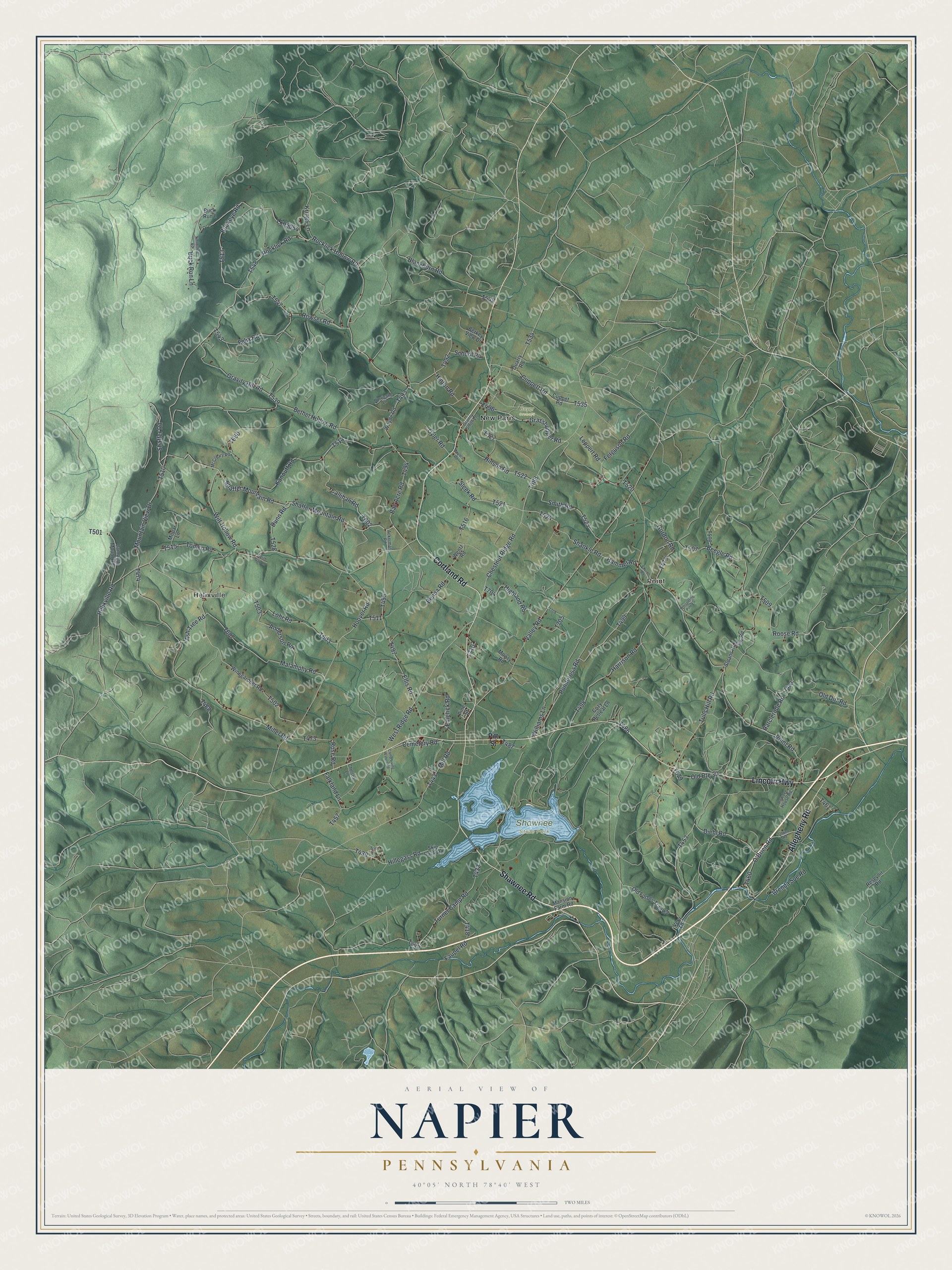
Created by KNOWOL in 2026, this map of Napier fits a den, an office or a farmhouse kitchen. The shading lets you see the ridges and hollows between the roads. The title panel names Napier, Pennsylvania and shows 40°05' North, 78°40' West.
It's a thoughtful gift for someone who grew up near New Paris, has family out on Chestnut Ridge Road, or moved away from Bedford County. Open the preview, zoom in and find the road you know. See sizes and frames for the Napier map.