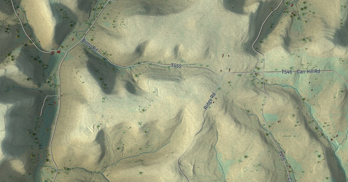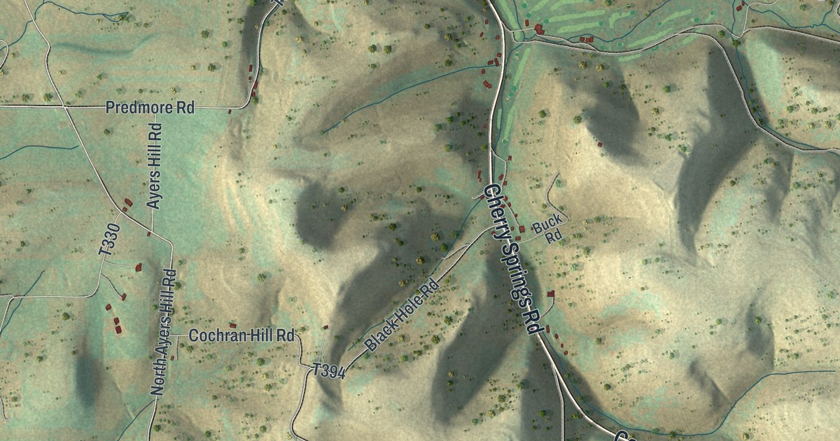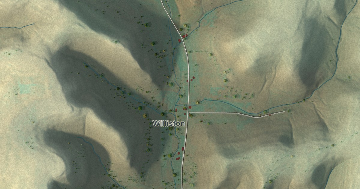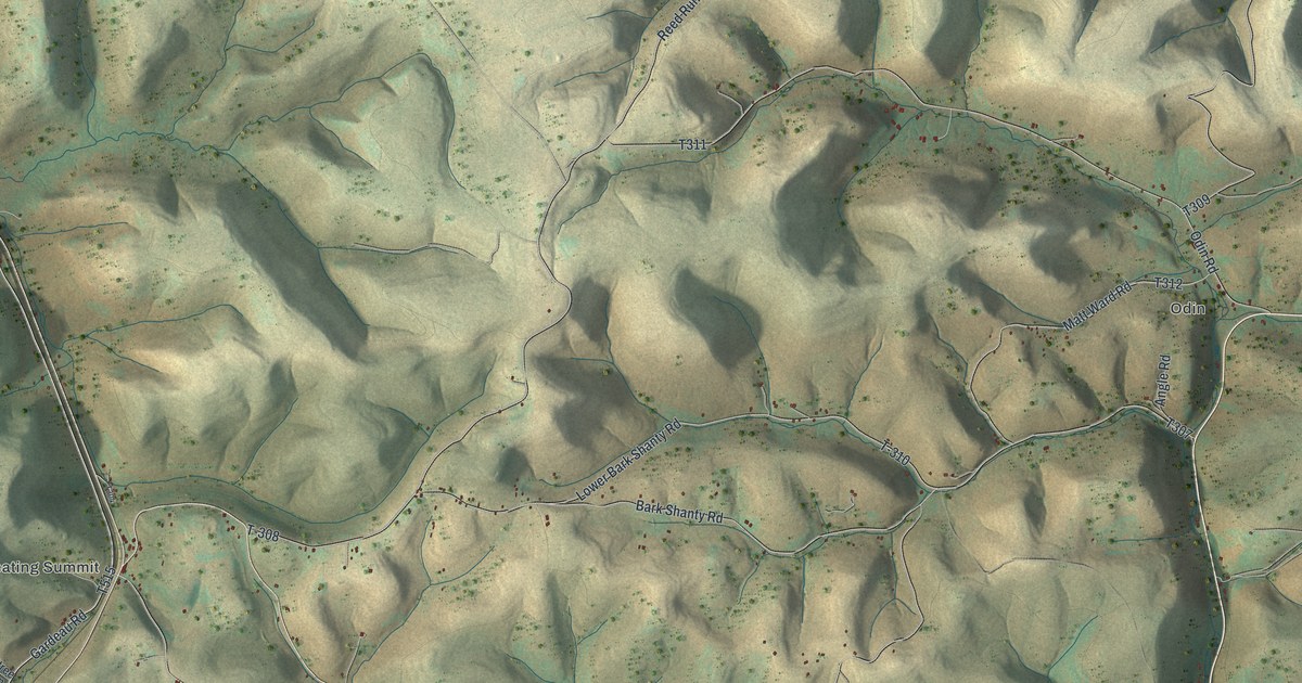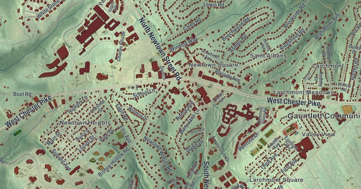
If you grew up in Newtown Square, drive West Chester Pike every day or have family in Echo Valley or Larchmont, this map has your roads on it. It's a modern aerial view of Newtown Township in Delaware County, Pennsylvania, drawn from modern data with a vintage artistic feel. Soft green hills are shaded across the sheet, and more than 11,000 buildings are marked in deep red. West Chester Pike cuts across the middle, and a wide blue lake sits near the bottom.
West Chester Pike, Goshen Road and Newtown Square
Start in the middle of the sheet, where North Newtown Street Road crosses West Chester Pike. Newtown Square is printed right beside that corner. Head southwest on West Chester Pike and you'll pass Newtown Heights and Alice Grim Boulevard on the way to Florida Park. Head east instead and you'll reach Larchmont Meadows and the Gauntlett Community Center. Now go north on North Newtown Street Road. At Goshen Road, Central Square sits just to the east and Echo Valley lies off to the west.
Farther north, Darby Paoli Road runs across the upper part of the sheet past Wyola. Saint Davids Road branches off it and heads up past Aronwold and Harrison Estate. Paper Mill Road leaves Saint Davids Road to the east. The National Register lists the Crosley-Garrett mill site, workers' houses and store where Paper Mill Road meets Saint Davids Road. Back in the center, South Newtown Street Road runs down between Springton Pointe Woods and Larchmont Square. Below Springton Pointe, a wide blue lake fills the bottom of the sheet. Many roads are labeled, and each red shape is a building, so zoom in on the preview and look for yours.
Square Tavern and Hood Octagonal School in Newtown
The National Register lists Square Tavern at Newtown Street Road and Goshen Road. On this print, the road at Goshen Road is labeled North Newtown Street Road. It also lists Hood Octagonal School at 3500 West Chester Pike. Look for North Newtown Street Road, Goshen Road and West Chester Pike on the print.
You can still find Hunter Run off Gradyville Road, Lewis Run Road off Liseter Road, and Reese Avenue near Newtown Square. Those three names are printed on the map.
For someone who grew up near Newtown Square
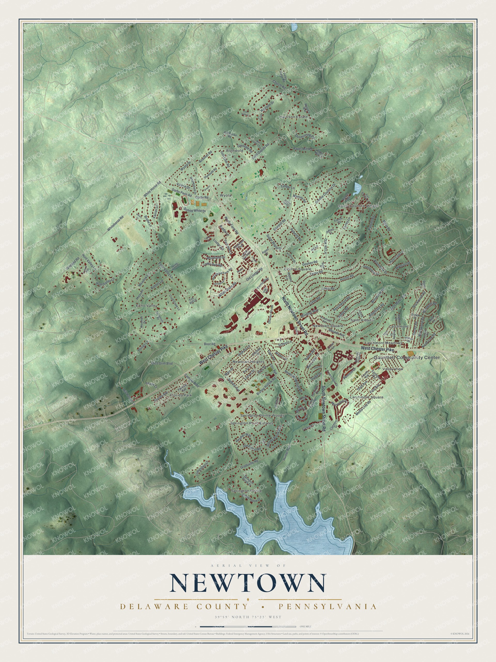
Created by KNOWOL in 2026, this Newtown map shows the township's hills in shaded green, with buildings in deep red and the lake in pale blue. The hills come from USGS elevation data. The title panel reads "Aerial View of Newtown, Delaware County, Pennsylvania," with 39°59' North, 75°23' West and a one-mile scale bar.
It fits a home office, a den or a family room. It's a thoughtful gift for someone who grew up near Newtown Square and moved away, or who still has family off Goshen Road. Open the preview, zoom in and find the street you know. See sizes and frames for the Newtown, Delaware County map.