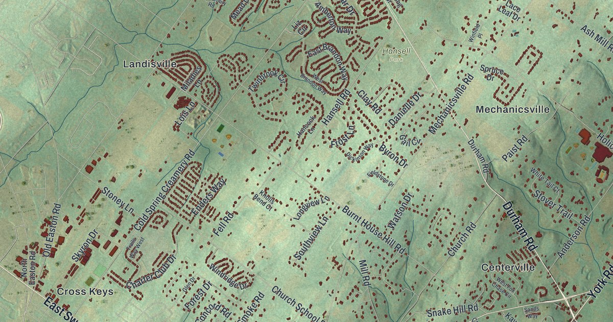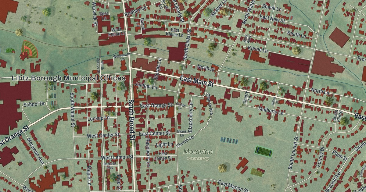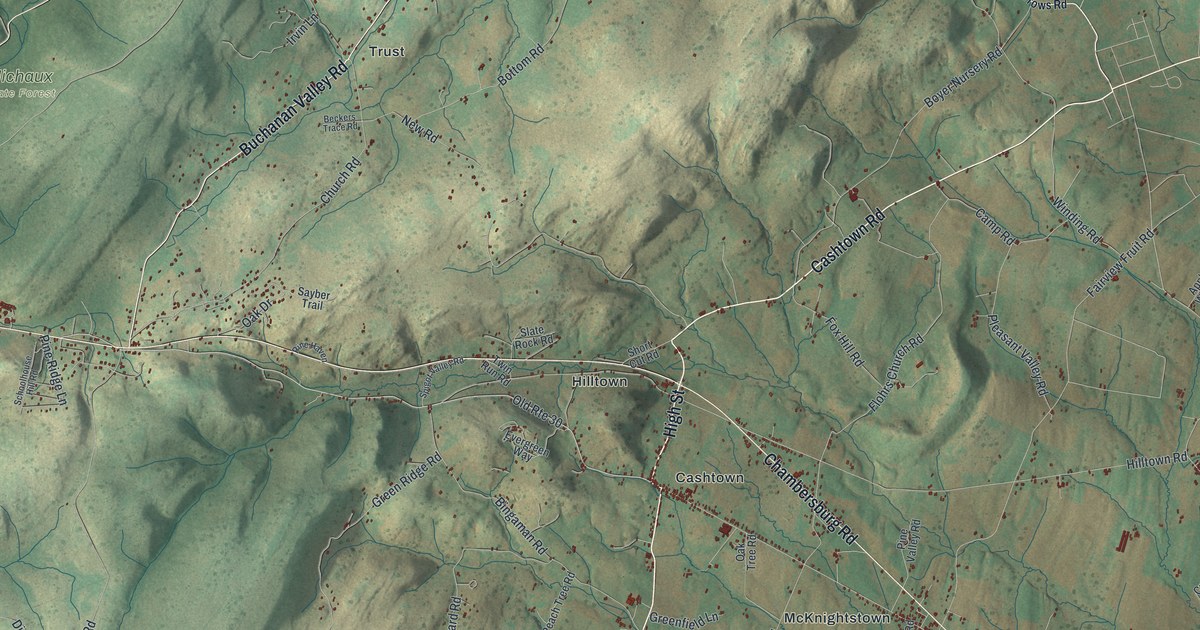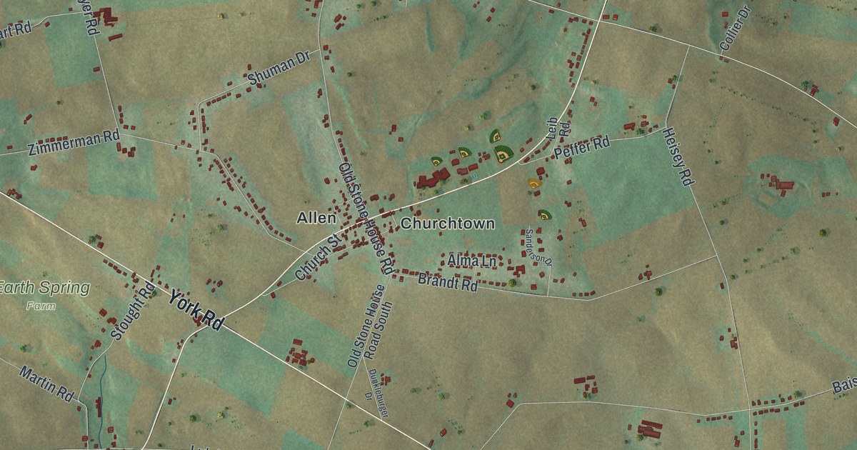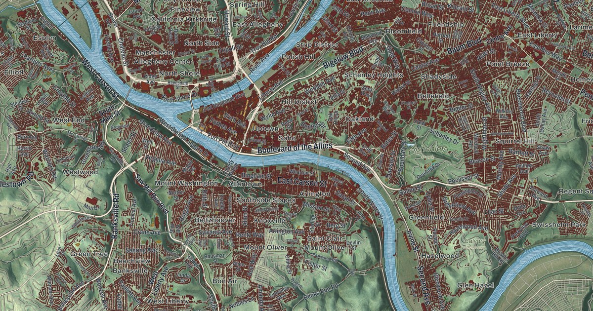
If you grew up in Pittsburgh, went to school in Oakland, or still have family in Lawrenceville, Brookline or Squirrel Hill, this map has a lot for you to find. It's a modern aerial view of Pittsburgh in Allegheny County, Pennsylvania, made from modern data and given a vintage look. Two blue rivers meet at the tip of downtown and run on as one wide river to the northwest. Almost 200,000 buildings are drawn in deep red on shaded green hills. Dozens of neighborhoods are named, from Brighton Heights and Sheraden in the west to Lincoln Place and Regent Square in the east.
From Fort Pitt Boulevard to Grandview Avenue
Start at the tip of downtown, where the two rivers meet. Fort Duquesne Boulevard runs east along the upper river, and Fort Pitt Boulevard runs along the lower one. Head east on Liberty Avenue or Penn Avenue. Both take you through the Strip District. Keep going, and Penn Avenue carries on into Lawrenceville, where Butler Street follows the river upstream. Across the upper river sits the North Shore. From there, Federal Street climbs north past Allegheny Center toward Perry Hilltop.
Now go back downtown and look south across the lower river. Mount Washington rises right up from the water, with Grandview Avenue along its top. West of it, Saw Mill Run Boulevard heads south past the West End, then Bon Air and Overbrook. To go east instead, take the Boulevard of the Allies. It meets Forbes Avenue, which runs through Oakland, past Schenley Park and on into Squirrel Hill. Many of the roads are labeled, and each red shape is a building, so zoom in on the preview and look for yours.
How Mount Washington was once Coal Hill
Mount Washington has an older name. Around 1760 it was called Coal Hill. Miners dug the Pittsburgh coal bed out of that hill to supply Fort Pitt. A state historical marker on Grandview Avenue says Pennsylvania's bituminous coal industry was born there. The marker says the Pittsburgh coal bed was later considered the nation's most valuable single mineral deposit. Down at the bottom of the Duquesne Incline, on West Carson Street, James O'Hara and Isaac Craig started the city's first glass factory in 1797. It made bottles and window glass until the 1880s.
Pittsburgh got its name in 1758. General Forbes named it for William Pitt after the French fort there, Fort Duquesne, fell. John Campbell laid it out as a town in 1764, and it became a city in 1816. Both forts are still remembered in street names on the map. Find Fort Pitt Boulevard and Fort Duquesne Boulevard downtown, then look across the river to Grandview Avenue on the old Coal Hill.
A gift for anyone from Lawrenceville to Brookline
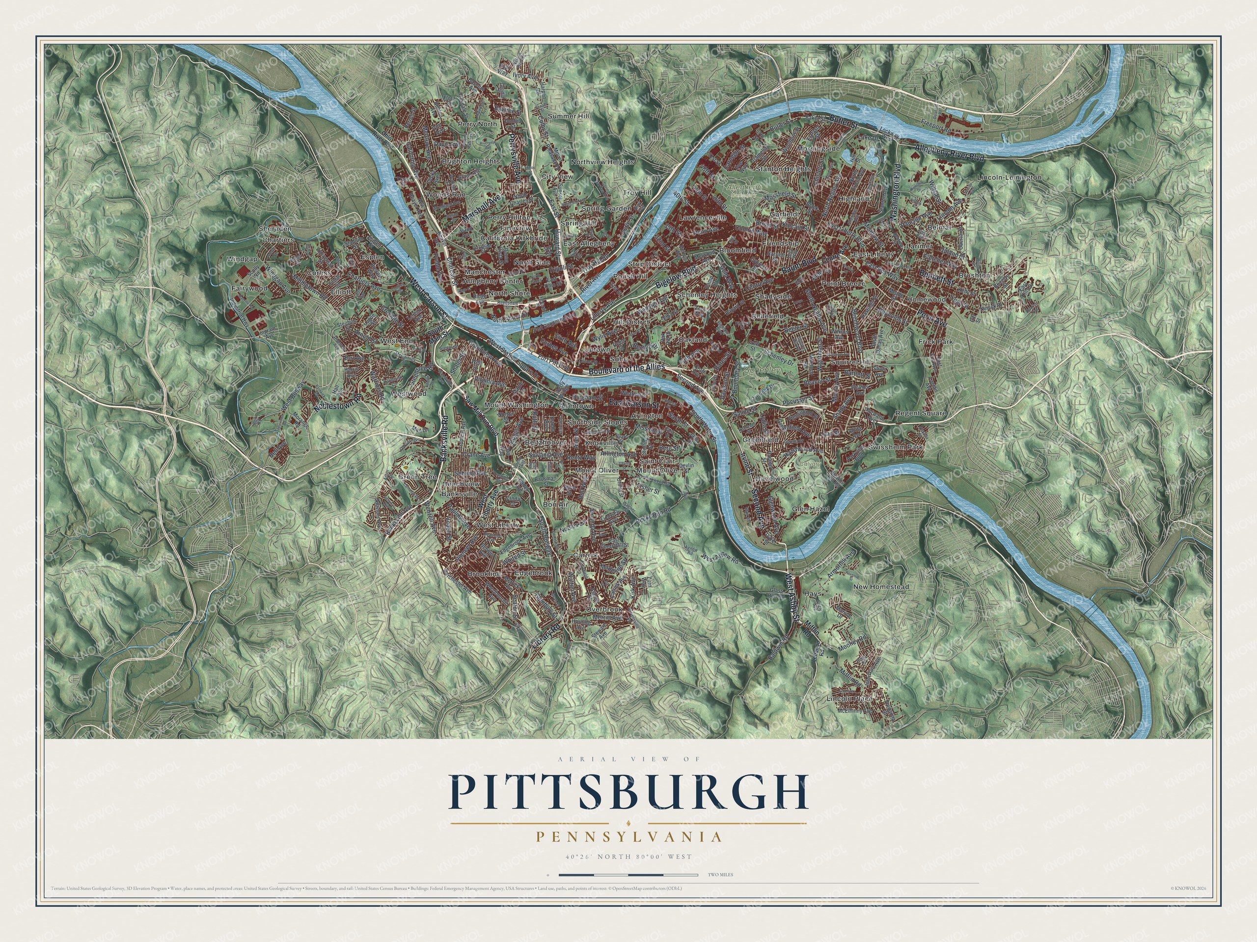
Created by KNOWOL in 2026, this Pittsburgh map shows deep red buildings and pale streets on shaded green hills, with the rivers in blue. The hill shading comes from USGS elevation data. The title panel reads "Aerial View of Pittsburgh, Pennsylvania," with the coordinates 40°26' North, 80°00' West and a two-mile scale bar.
It suits an office, a den or a kitchen wall. It's a thoughtful gift for someone who studied in Oakland, grew up on the North Side or moved away from Carrick. Open the preview, find Grandview Avenue and follow a road down to a street you know. See sizes and frames for the Pittsburgh map.