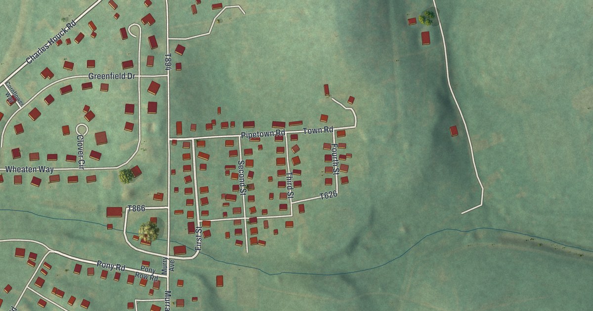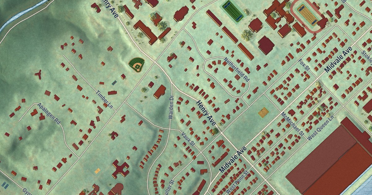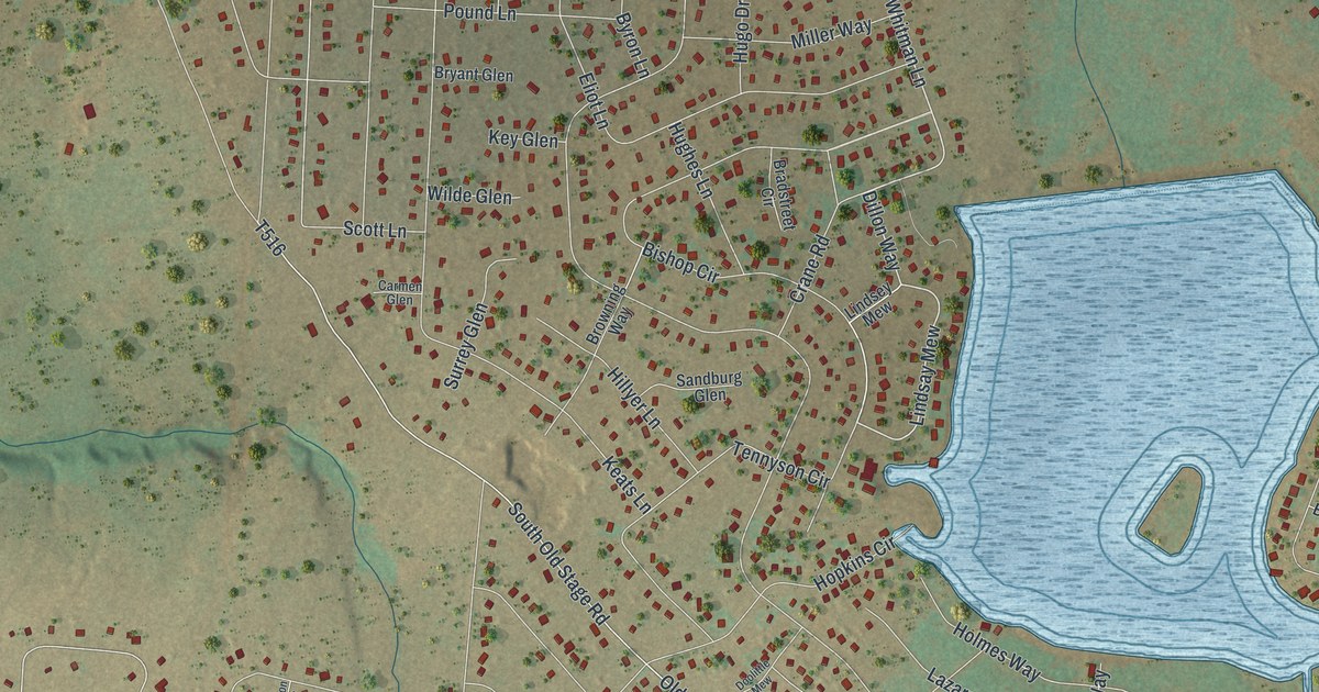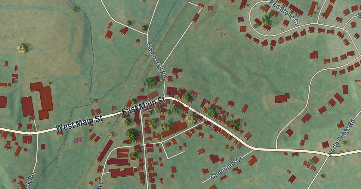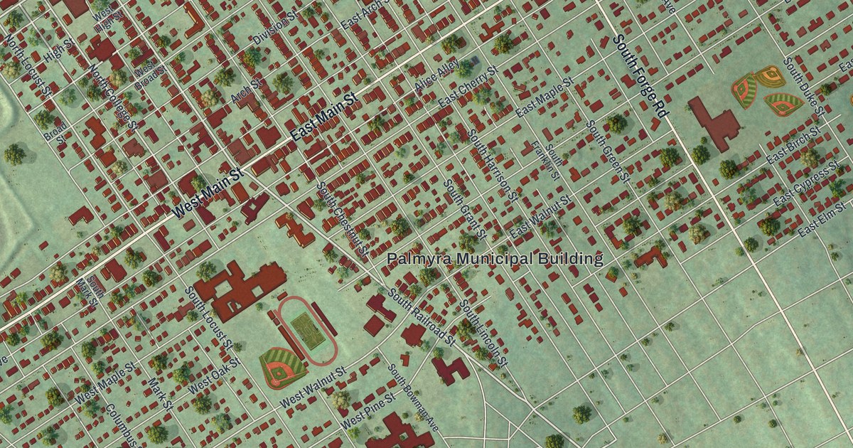
This beautifully detailed map of Palmyra, Lebanon County, Pennsylvania was created in 2026 using aerial imagery combined with modern topographical, census, street and landmark data. It’s a one-of-a-kind view of Palmyra that combines accurate data with a vintage aesthetic. The map shows every building in its true location, many of the roads carry their names, and the shaded topographic relief shows the shape of the land.
Explore an aerial view of Palmyra, Lebanon County, Pennsylvania
On the map you’ll find Palmyra Municipal Building and Firemans Park, along with West Main Street, East Main Street, South Forge Road, Railroad Street, South Railroad Street, Ridge Road, East Ridge Road, West Cedar Street, North Forge Road, North College Street, and more. If you look closely you can even find your house accurately drawn in its correct location. Zoom in on the preview to look for yours.
Did you know this piece of Palmyra, Lebanon County, Pennsylvania history?
Johannes Palm, a doctor and Revolutionary War soldier, is credited with founding the town. He bought a 100-acre plot in 1766 and drew up plans for a settlement he called Palmstown. Over time the name Palmyra grew more popular, and it was official by 1810.
Take a closer look at the Palmyra, Lebanon County map
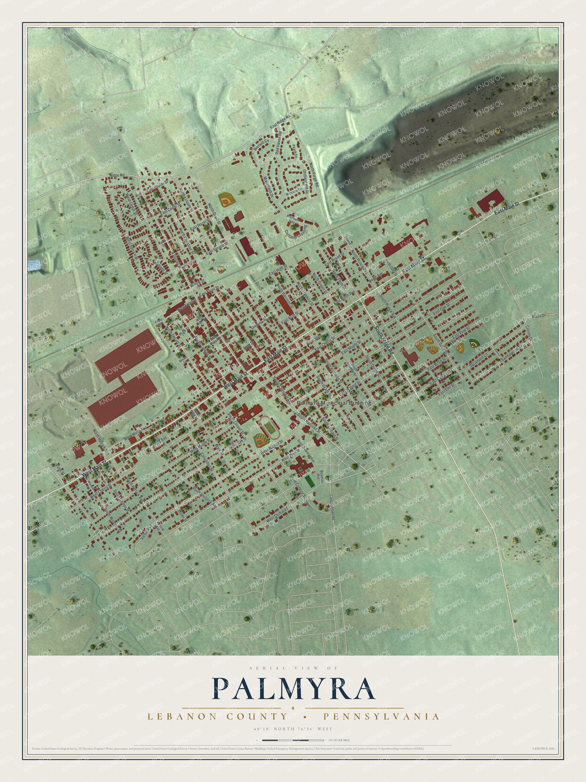
Street and place names on the Palmyra, Lebanon County, Pennsylvania map
These names are printed on the map of Palmyra, Lebanon County, Pennsylvania.
Places: Palmyra Municipal Building and Firemans Park.
Streets and roads: West Main Street, East Main Street, South Forge Road, Railroad Street, South Railroad Street, Ridge Road, East Ridge Road, West Cedar Street, North Forge Road, North College Street, North Locust Street, West Spruce Street.
More street names, A to Z
Alice Alley, Arch Street, Bartlett Circle, Bowman Avenue, Braeburn Way, Broad Street, Campbelltown Road, Colonial Street, Colony Drive, Columbus Street, Cortland Crossing, Division Street, East Arch Street, East Birch Street, East Broad Street, East Cedar Street, East Cherry Street, East Cypress Street, East Elm Street, East Front Street, East Hazel Street, East High Street, East Maple Street, East North Avenue, East Oak Street, East Pine Street, East Poplar Street, East Spruce Street, East Walnut Street, Franklin Court, Front Street, Hazel Street, Hetrick Avenue, High Street, Juniper Street, Macintosh Drive, Mark Street, Miller Street, North Avenue, North Chestnut Street, North Duke Street, North Franklin Street, North Grant Street, North Green Street, North Harrison Street, North Hetrick Avenue, North Lincoln Street, North Penn Street, North Prince Avenue, Oak Street, Orchard Hill Drive, Palm Street, Peach Circle, Plaza Drive, Poplar Street, Prince Street, Red Haven Road, Sandalwood Drive, South Avenue, South Bowman Avenue, South Center Street, South Chestnut Street, South College Street, South Duke Street, South Franklin Street, South Grant Street, South Green Street, South Harrison Street, South Hetrick Avenue, South Horstick Avenue, South Lincoln Street, South Locust Street, South Mark Street, South Prince Avenue, South Windsor Street, Spruce Street, Sycamore Lane, Victoria Lane, West Broad Street, West Cherry Street, West Front Street, West High Street, West Maple Street, West North Avenue, West Oak Street, West Orchard Drive, West Pine Street, West Walnut Street, Willow Street, Windsor Avenue, Winesap Lane.
See the Palmyra, Lebanon County, Pennsylvania map on a wall
The Palmyra, Lebanon County map as an 18 x 24 inch print in a black frame.

This beautifully detailed map of Palmyra, Lebanon County makes an attractive addition to your office, library, or den, and it can even be used to teach children the geography and history of the area. It also makes a great gift for someone who left Palmyra and still calls it home. When you’re done exploring, click here to get your copy of the Palmyra, Lebanon County map.