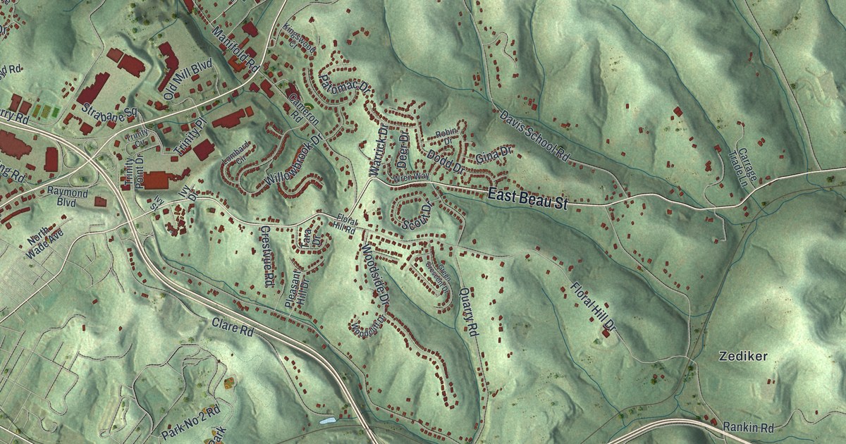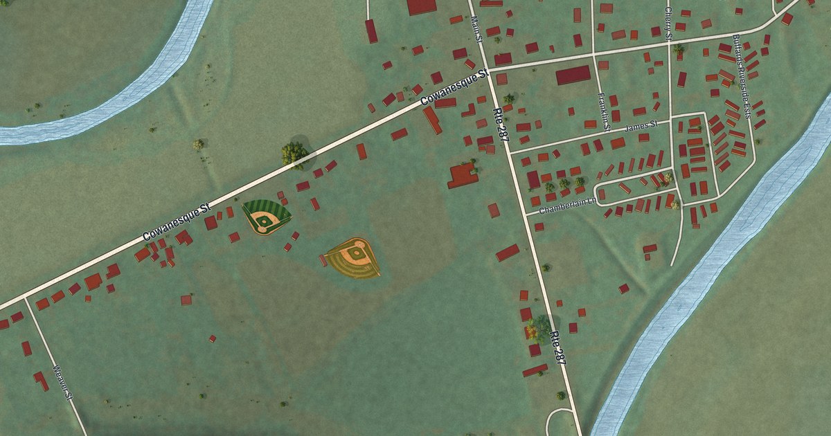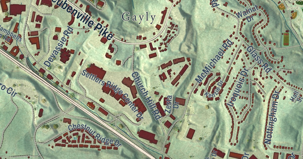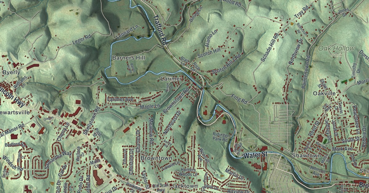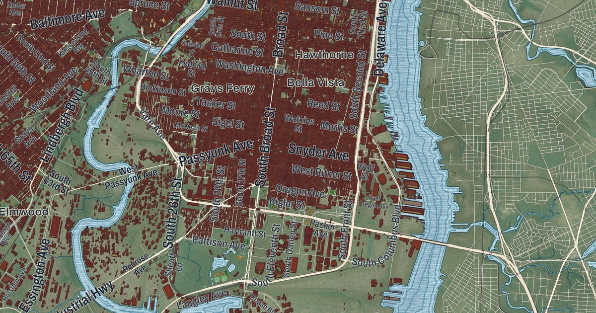
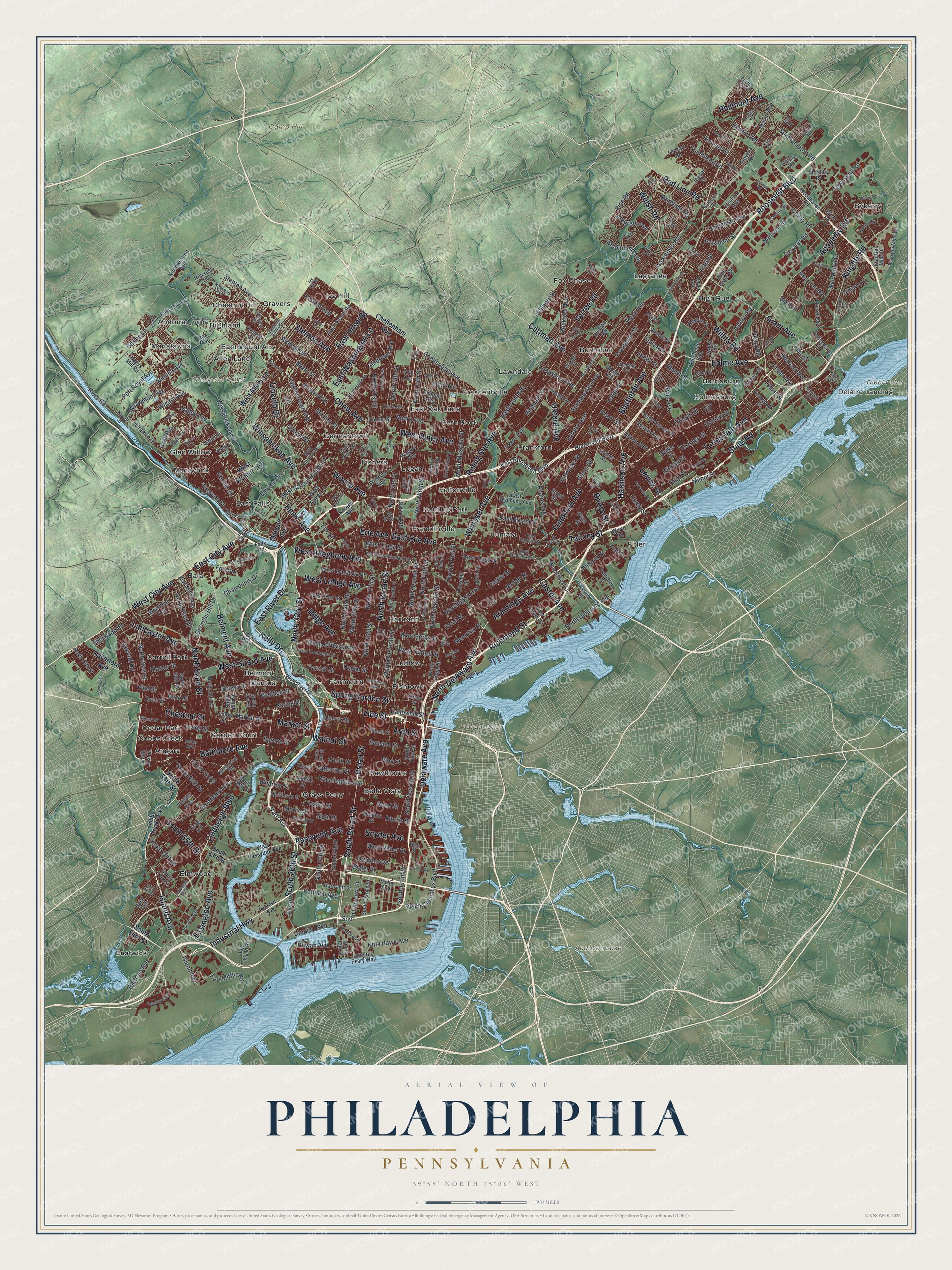
This beautifully detailed map of Philadelphia, Pennsylvania was created in 2026 using aerial imagery combined with modern topographical, census, street and landmark data. It’s a one-of-a-kind view of Philadelphia that combines accurate data with a vintage aesthetic. The map shows every building in its true location, many of the roads carry their names, and the shaded topographic relief shows the shape of the land.
Explore an aerial view of Philadelphia, Pennsylvania
On the map you’ll find Camp Hill, Cooper Point, Cresheim Valley, Diehl Point, Audubon Lake, Andorra, Angora, Bala, Bella Vista, Belmont, and Burholme, along with Allen Lane, and more. If you look closely you can even find your house accurately drawn in its correct location. Zoom in on the preview to look for yours.
Did you know this piece of Philadelphia, Pennsylvania history?
From the PA Historical and Museum Commission: "In 1729, Rev. Joseph Greaton, SJ, established the earliest foundation of Catholicism in Pa. He was the church’s first pastor and the only Catholic priest in Philadelphia when the church was built in 1733. Jesuits from this parish founded the early frontier missions of Conewago in Adams County and Goshenhoppen in Berks County, as well as the first Catholic churches in New Jersey and Delaware."
Take a closer look at the Philadelphia map
Street and place names on the Philadelphia, Pennsylvania map
These names are printed on the map of Philadelphia, Pennsylvania.
Places: Camp Hill, Cooper Point, Cresheim Valley, Diehl Point, Audubon Lake, Allen Lane, Andorra, Angora, Bala, Bella Vista, Belmont, Burholme, Byberry, Carroll Park, Cedar Park, Chestnut Hill, Cobbs Creek, Crescentville, Delaire Landing, East Falls, East Mount Airy, East Oak Lane, Eastwick, Elmwood, Fairmount, Feltonville, Fern Rock, Fishers, Fishtown, Fitler, Fox Chase, Frankford, Franklinville, Garden Court, Germantown, Glen Willow, Gravers, Grays Ferry, Harrisburg, Hartranft, Hawthorne, High Rue, Highland, Holmesburg, Hunting Park, Ivy Hill, Juniata, Lagrange, Lawndale, Logan, Ludlow, Manatawna, Manayunk and Mantua.
Streets and roads: Roosevelt Boulevard, Chestnut Street, Aramingo Avenue, Industrial Highway, West Girard Avenue, Lancaster Avenue, Island Avenue, Harbison Avenue, West City Avenue, Market Street, Baltimore Avenue, North 52nd Street.
More street names, A to Z
66th Avenue, 67th Avenue, 71st Avenue, Academy Road, Adams Avenue, Admiral Peary Way, Albion Street, Alburger Avenue, Algon Avenue, Alicia Street, Almond Street, Amber Street, Andrews Avenue, Arch Street, Ardleigh Street, Arendell Avenue, Arrott Street, Ashton Road, Atwood Road, Baring Street, Bartram Avenue, Belgrade Street, Bells Mill Road, Belmont Avenue, Bennett Road, Bergen Street, Beyer Avenue, Bigler Street, Bingham Street, Birch Road, Black Road, Blair Street, Bleigh Avenue, Bloomfield Avenue, Blue Grass Road, Boyer Street, Bridge Street, Brill Street, Broad Street, Brown Street, Bryan Street, Bryn Mawr Avenue, Buist Avenue, Bustleton Avenue, Byberry Road, Callowhill Street, Cardington Road, Caroline Road, Carter Road, Castor Avenue, Catharine Street, Cedar Avenue, Chalfont Drive, Chamounix Drive, Chelten Avenue, Cheltenham Avenue, Cherry Street, Chester Avenue, Chew Avenue, Christian Street, Church Lane, Claridge Street, Clark Street, Cobbs Creek Parkway, Comly Road, Comly Street, Conlyn Street, Conshohocken Avenue, Coral Street, Cottage Street, Cottman Avenue, County Line Road, Crefeld Street, Cresheim Valley Drive, Cresson Street, Crispin Drive, Crispin Street, Decatur Road, Delaware Avenue, Delmar Street, Delray Street, Departures Road, Devereaux Street, Dickinson Street, Dimarco Drive, Ditman Street, Domino Lane, Dungan Road, Dunks Ferry Road, East Ann Street, East Bristol Street, East City Avenue, East Erie Avenue, East Haines Street, East Luzerne Street, East Ontario Street, East Oregon Avenue, East Penn Street, East River Drive, East Roosevelt Boulevard, East Sanger Street, East Sedgley Avenue, East Street, East Tioga Street, East Upsal Street, East Vernon Road, East Washington Lane, East Wister Street, East Wyoming Avenue, Eden Street, Ellicott Road, Emlen Street, Erdrick Street, Erie Avenue, Essington Avenue, Fairfield Street, Fairmount Avenue, Falls Road, Federal Street, Filbert Street, Fillmore Street, Fitler Street, Ford Road, Forrest Avenue, Fort Mifflin Road, Fox Street, Frankford Avenue, Franklin Mills Circle, Franklin Mills Drive, Frontenac Street, Fulmer Street, Gates Street, Geiger Road, Georges Hill Drive, Germantown Avenue, Glendale Avenue, Glenn Street, Grant Avenue, Grays Avenue, Greene Street, Green Lane, Green Street, Guilford Street, Gypsy Lane, Hagys Mill Road, Haldeman Avenue, Hartranft Street, Hasbrook Avenue, Haverford Avenue, Hendrix Street, Henry Avenue, Hillcrest Road, Hog Island Road, Holme Avenue, Holstein Avenue, Hornig Road, Horrocks Street, Ina Drive, Irving Street, Ivy Hill Road, Jamison Avenue, Jasper Street, Jeanes Street, Kelly Drive, Kelvin Avenue, Kensington Avenue, Keystone Street, Kingsessing Avenue, Kitty Hawk Avenue, Knights Road, Knorr Street, Krewstown Road, Langley Avenue, Lardner Street, Large Street, Leon Street, Levick Street, Lewis Street, Limekiln Pike, Lincoln Drive, Lindbergh Boulevard, Linden Avenue, Lockart Road, Locust Street, Loney Street, Longshore Avenue, Loretto Avenue, Lowber Avenue, Ludlow Street, Lykens Lane, Magee Avenue, Main Street, Master Street, McKean Street, McNulty Road, Memphis Street, Midvale Avenue, Milnor Street, Moore Street, Morefield Road, Morrell Avenue, Morris Street, Morton Street, Musgrave Street, Nanton Drive, Nedro Avenue, Nice Street, Nixon Street, Norcom Road, North 13th Street, North 15th Street, North 16th Street, North 17th Street, North 18th Street, North 20th Street, North 21st Street, North 22nd Street, North 33rd Street, North 41st Street, North 46th Street, North 50th Street, North 53rd Street, North 56th Street, North 63rd Street, North 76th Street, North Broad Street, North Camac Street, North Delaware Avenue, Northeast Avenue, North Eleventh Street, North Fifth Street, North Front Street, North Hope Street, North Lawrence Street, North Mascher Street, North Ninth Street, North Philip Street, North Second Street, North Seventh Street, North Sixth Street, North Third Street, North Twelfth Street, Northwestern Avenue, Norwood Avenue, Oak Lane, Ogontz Avenue, Old Bustleton Avenue, Old York Road, Oregon Avenue, Orthodox Street, Outlook Avenue, Oxford Avenue, Packer Avenue, Paoli Avenue, Park Avenue, Parker Avenue, Parrish Street, Passyunk Avenue, Pattison Avenue, Paul Street, Pearson Avenue, Pechin Street, Penn Street, Pennway Street, Penny Lane, Pennypack Street, Penrose Avenue, Philmont Avenue, Pine Road, Pine Street, Plum Street, Poplar Street, Port Royal Avenue, Pratt Street, President Street, Race Street, Red Lion Road, Reed Street, Rennard Street, Revere Street, Rex Avenue, Rhawn Street, Richmond Street, Ridge Avenue, Rising Sun Avenue, River Road, Roberts Avenue, Rockwell Avenue, Rorer Street, Rosehill Street, Rouse Boulevard, Rowan Avenue, Ryan Avenue, Saint Vincent Street, Sansom Street, Shawmont Avenue, Sheaff Lane, Sherwood Road, Sigel Street, Snyder Avenue, Solly Avenue, South 13th Street, South 17th Street, South 20th Street, South 24th Street, South 26th Street, South 49th Street, South 53rd Street, South 56th Street, South 59th Street, South 61st Street, South 63rd Street, South 65th Street, South 70th Street, South 73rd Street, South 76th Street, South 84th Street, Southampton Road, South Broad Street, South Columbus Boulevard, South Darien Street, South Eleventh Street, South Front Street, South Second Street, South Street, South Third Street, Spring Garden Street, Spring Lane, Spruce Street, State Road, Stenton Avenue, Stevenson Lane, Stevens Road, Stokley Street, Strahle Street, Summerdale Avenue, Summit Avenue, Susan Road, Tabor Avenue, Tacony Street, Tasker Street, Thomas Mill Drive, Tolbut Street, Tomlinson Road, Torresdale Avenue, Townsend Road, Treaty Road, Trevose Road, Trina Drive, Tulip Street, Tyson Avenue, Umbria Street, Unruh Avenue, Valley Avenue, Vare Avenue, Verree Road, Vine Street, Wagner Avenue, Waldemire Drive, Walker Street, Wallace Street, Walnut Street, Washington Avenue, Watkins Street, Wayne Avenue, Welsh Road, West Allegheny Avenue, West Allens Lane, West Berks Street, West Cambria Street, West Clapier Street, West Jefferson Street, West Lehigh Avenue, West Olney Avenue, West Oxford Street, West Passyunk Avenue, West Queen Lane, West Ritner Street, West Rittenhouse Street, West River Drive, West School House Lane, West Thompson Street, West Tioga Street, West Walnut Lane, West Westmoreland Street, West York Street, Wharton Street, Wheatsheaf Lane, Whitaker Avenue, Wigard Avenue, Willits Road, Winchester Avenue, Windrim Avenue, Winston Road, Wissahickon Avenue, Wissahickon Drive, Wolf Street, Woodbine Avenue, Woodhaven Road, Woodland Avenue, Worth Road.
See the Philadelphia, Pennsylvania map on a wall
The Philadelphia map as an 18 x 24 inch print in a black frame.

This beautifully detailed map of Philadelphia makes an attractive addition to your office, library, or den, and it can even be used to teach children the geography and history of the area. It also makes a great gift for anyone with Philadelphia roots. When you’re done exploring, click here to get your copy of the Philadelphia map.