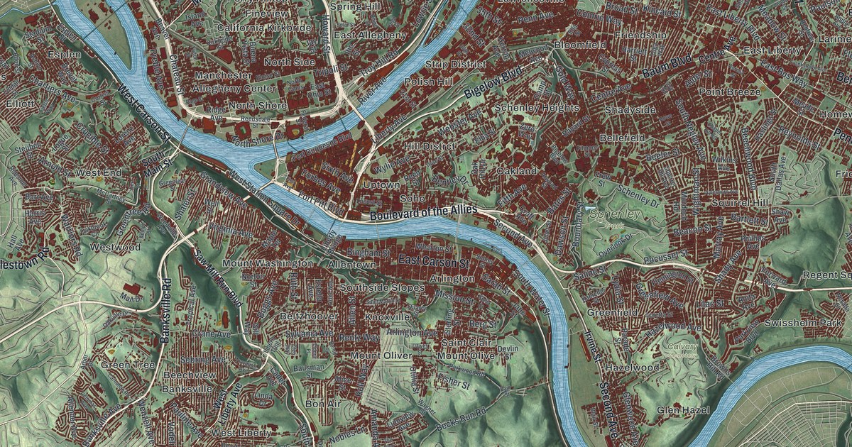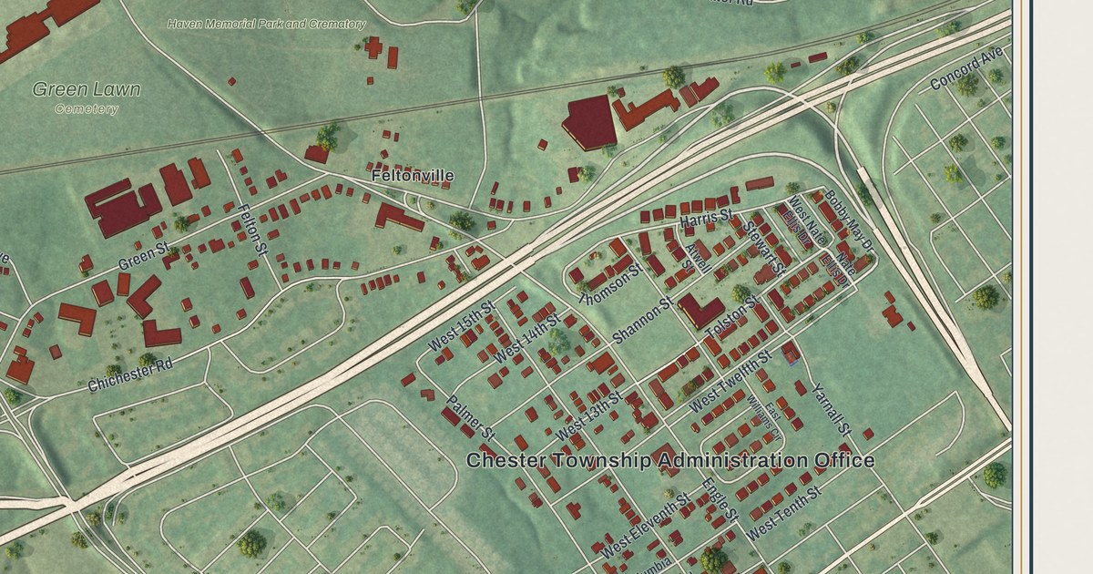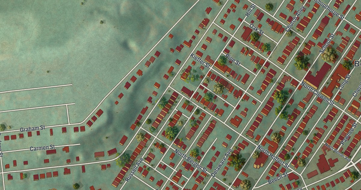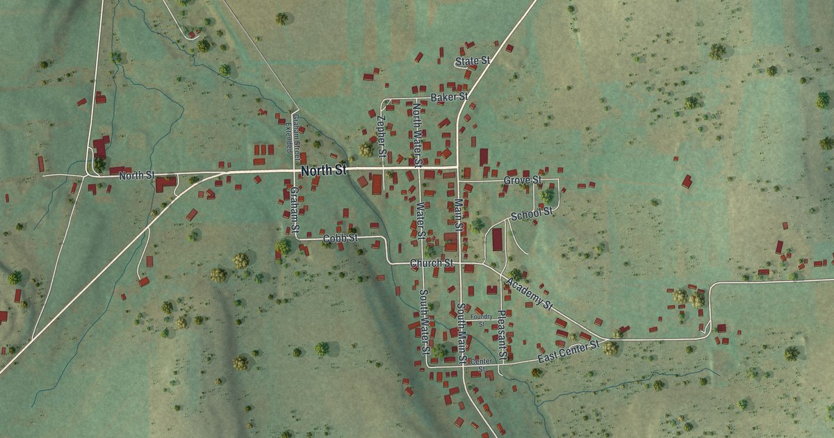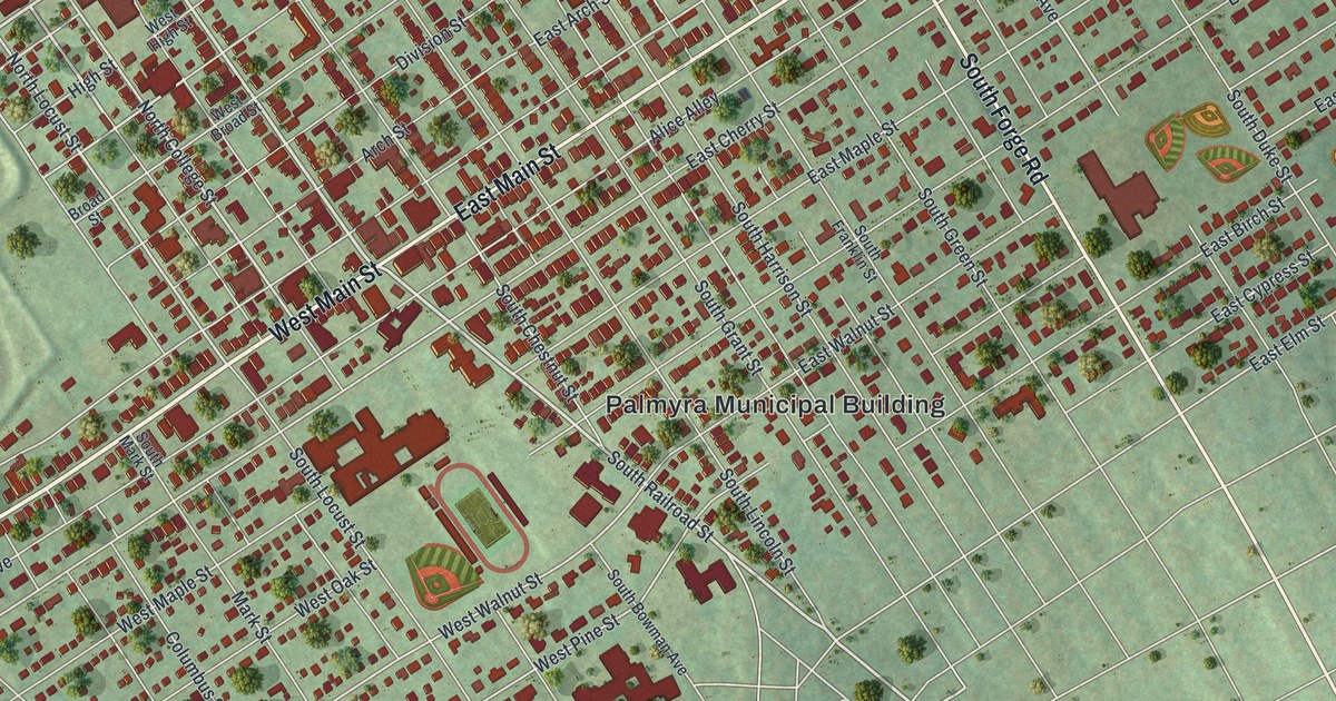
If you grew up in Palmyra, went to school here, or still have family a few blocks off Main Street, this map gives you plenty to find. It's a modern aerial view of Palmyra, a borough in Lebanon County, Pennsylvania, made from modern data and given a vintage feel. More than 5,000 buildings are drawn in deep red. West Main Street and East Main Street cross the middle of the sheet on a slant, and soft green hills fill the edges. Up in the top right corner, a deep dark hollow sits in the hills.
Main Street, Railroad Street and Firemans Park
South Avenue starts near Windsor Avenue and Franklin Court in the bottom left and runs east past Columbus Street to the Palmyra Municipal Building and Alice Alley in the center of the sheet. Up in the top left, Railroad Street runs south past Ridge Road, Firemans Park, Willow Street, Division Street, Arch Street, Spruce Street and Hazel Street. West Main Street and East Main Street cross that same ground on a diagonal, with South Forge Road, North Forge Road, North College Street and South Horstick Avenue nearby. Each red shape is a building, so zoom in on the preview and look for yours.
How John Palm's Palmstown got through a drought
John Palm was born in Germany in 1713 and came to America in 1749. During the Revolutionary era, he laid out a town on both sides of the road from Harrisburg to Reading. He called it Palmstown. For a few years, things looked bright. Then a bad drought came, and water ran so short that the town asked the Legislature for help. The lawmakers told them to dig the wells deeper. The town did, and an 1883 county history says there was no water shortage after that.
For many years, Palmstown was a town of one street. When the railroad ran some distance from town, a new street was laid out at a right angle to the main street. West Main Street and East Main Street still run straight through the middle of the map. Palm died in 1799 and is buried in the graveyard of Bindnagel's Church.
For someone who knows Main Street in Palmyra
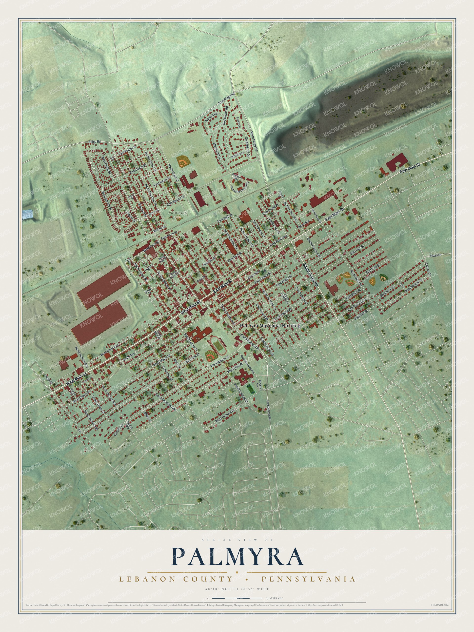
Created by KNOWOL in 2026, this Palmyra map shows the town's streets and buildings over shaded hills from USGS elevation data. The buildings are deep red, the land is soft green, and the whole sheet has an old-fashioned look. The title panel reads "Aerial View of Palmyra, Lebanon County, Pennsylvania," with the coordinates 40°18' North, 76°36' West and a quarter-mile scale bar.
It suits a living room, a kitchen or a home office. It's a thoughtful gift for someone who grew up near Firemans Park, moved away from Main Street, or still has family in town. Open the watermarked preview, find Railroad Street, and follow it to a block you know. See sizes and frames for the Palmyra, Lebanon County map.