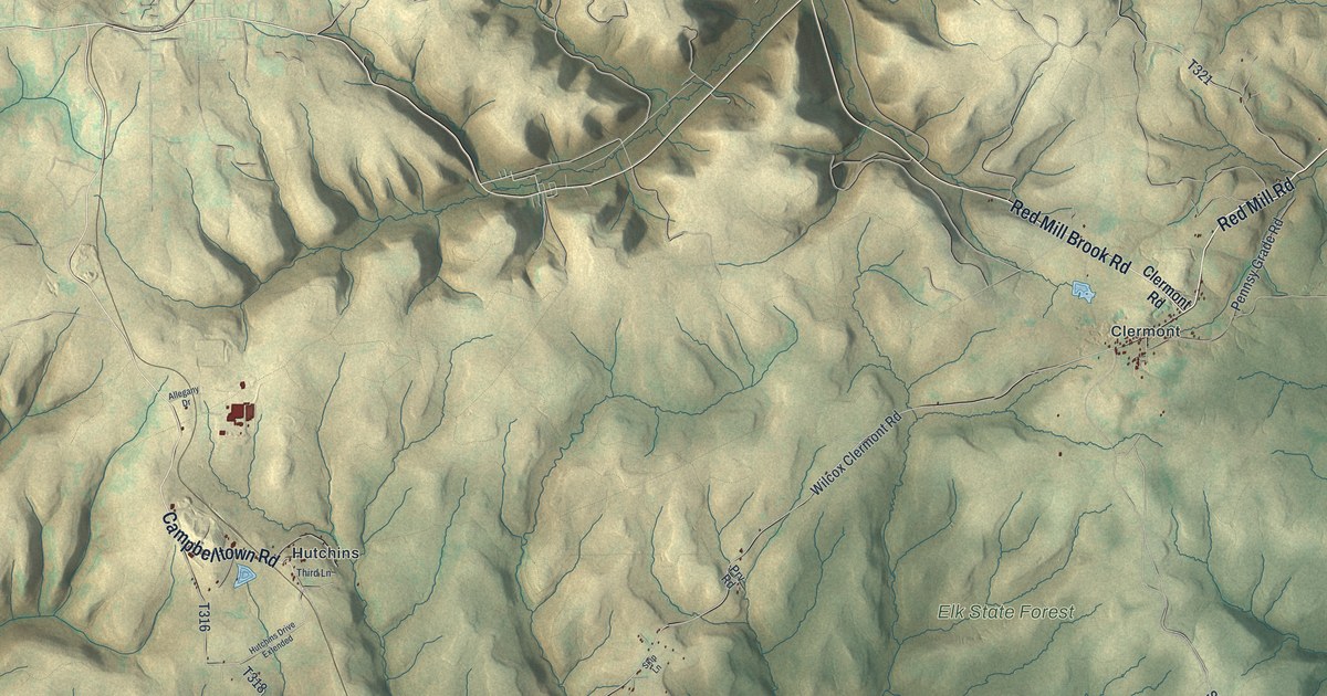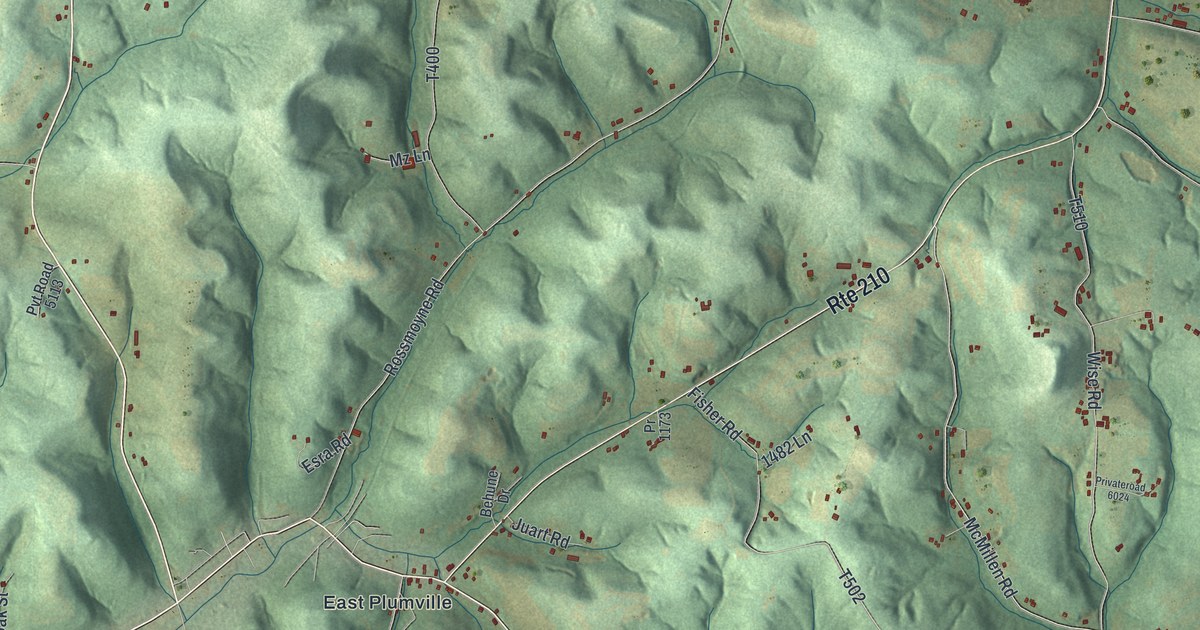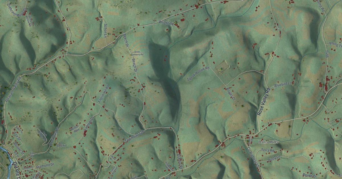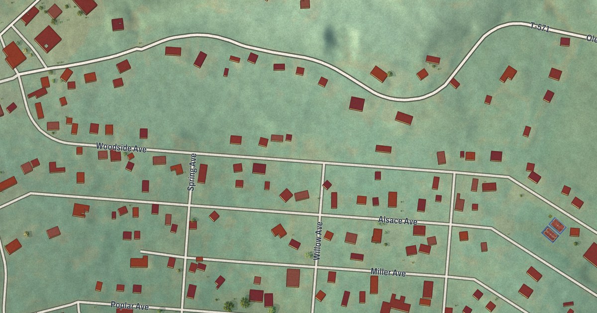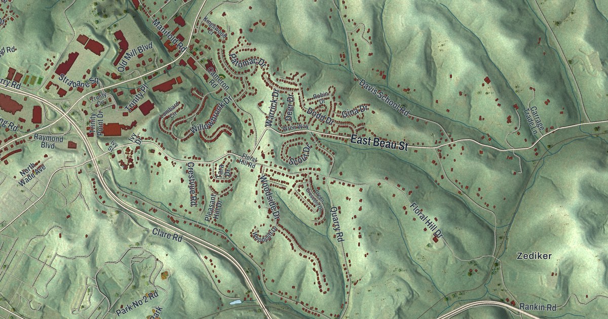
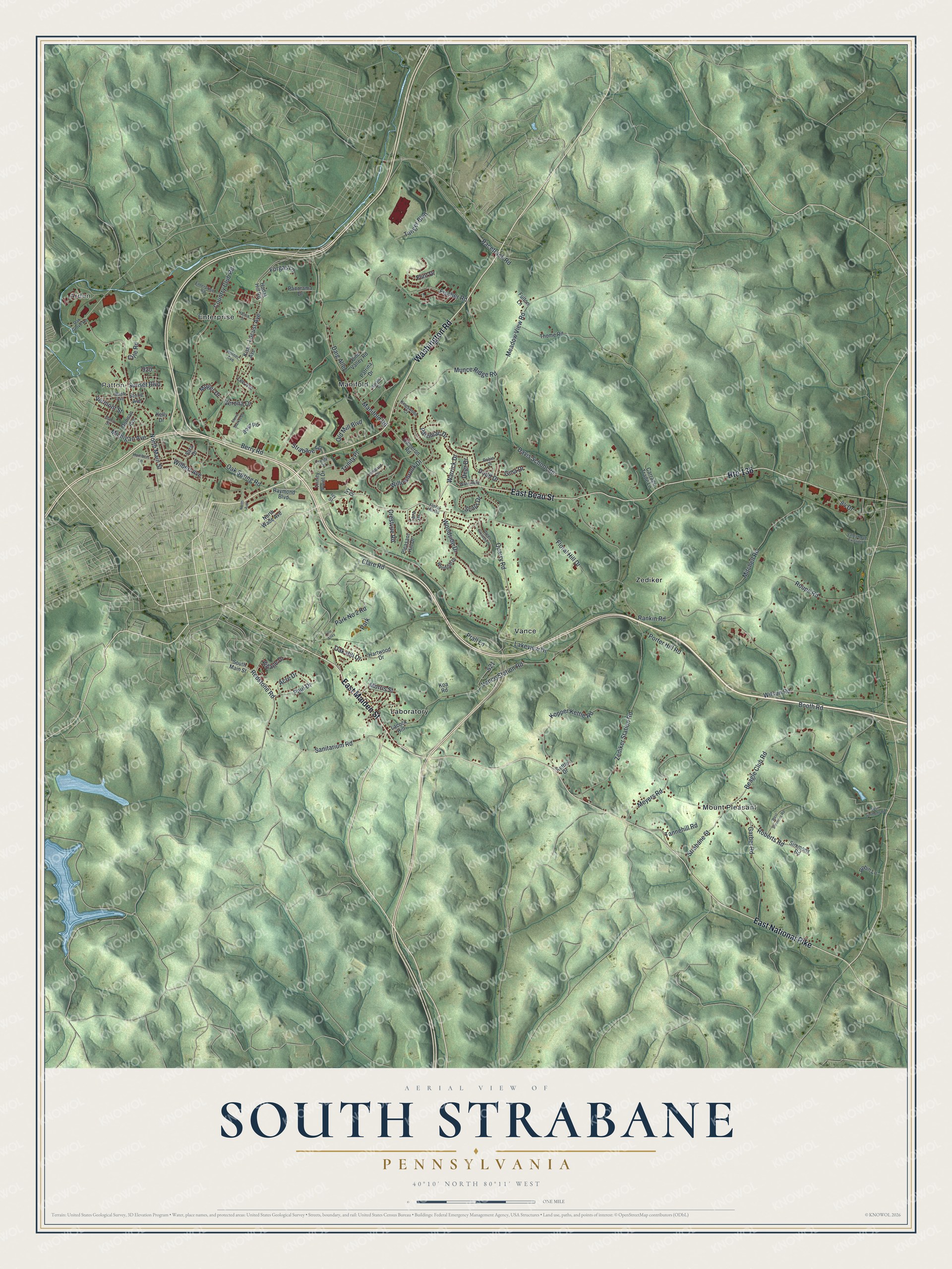
This beautifully detailed map of South Strabane, Pennsylvania was created in 2026 using aerial imagery combined with modern topographical, census, street and landmark data. It’s a one-of-a-kind view of South Strabane that combines accurate data with a vintage aesthetic. The map shows every building in its true location, many of the roads carry their names, and the shaded topographic relief shows the shape of the land.
Explore an aerial view of South Strabane, Pennsylvania
On the map you’ll find Arden, Patton, Enterprise, Laboratory, Manifold, Mount Pleasant, Vance, and Zediker, along with Washington Road, East Maiden Street, East Beau Street, East National Pike, and more. If you look closely you can even find your house accurately drawn in its correct location. Zoom in on the preview to look for yours.
Did You Know?
From the History of Washington County: "Taylor afterwards purchased other tracts, amounting in the aggregate to about seventeen hundred acres, all in what is now South Strabane. He married Jane White, and settled on the portion of land which afterward became the farm of John Smith, and now owned by George Davis."
Take a closer look at the South Strabane map
Names on this map
These names are printed on this map.
Places: Arden, Patton, Enterprise, Laboratory, Manifold, Mount Pleasant, Vance, Zediker and Park.
Streets and roads: Washington Road, East Maiden Street, East Beau Street, East National Pike, Route 136, Sanitarium Road, North Main Street, Redstone Road, Manifold Road, Meadow View Road, Munce Ridge Road, Lakeview Drive.
More street names, A to Z
84 Drive, Acre Drive, Barale Drive, Beagle Club Road, Berry Road, Booth Road, Boyd Road, Cameron Road, Carrage Trade Lane, Clare Road, Country Club Road, Crestvue Road, Crile Road, Daig Alley, Davis School Road, Deer Drive, Dodd Drive, Donnan Avenue, East Simmons Road, Enterprise Road, Fischer Road, Flint Drive, Floral Hill Drive, Floral Hill Road, Forgas Lane, Fulton Lane, Garber Road, Gina Drive, Green Crescent Drive, Hartwood Drive, Horner Avenue, Hudak Hill Road, Humbert Lane, Idaho Street, Ivy Drive, Ivy Street, Kelly Drive, Kettle Drive, Kingswood Court, Kish Avenue, Koa Road, Kopper Kettle Road, Lacock Hill, Lee Avenue, Line Alley, Locust Avenue, Lombard Circle, Maple Avenue, Meyers Road, Michigan Avenue, Mitchell Road, Moger Drive, Morris Street, Nannie Street, North Avenue, North Wade Avenue, Oak Grove Road, Oak Hill Drive, Oak Spring Road, Old Mill Boulevard, Panorama Drive, Park No 2 Road, Patomac Drive, Patrina Drive, Paul Drive, Pine Valley Road, Pleasant Hill Drive, Porter Hill Road, Prall Lane, Quarry Road, Racetrack Road, Rankin Road, Raymond Boulevard, Roberts Road, Robin Drive, Robin Lane, Roupe Road, Sara Drive, Scout Drive, Simmons Road, South Main Street, Stone Avenue, Stone Marker Drive, Strabane Square, Strabane Street, Sunset Boulevard, Tanger Boulevard, Tannehill Road, Tara Drive, Thome Road, Trinity Circle, Trinity Place, Trinity Point Drive, Valley Road Extended, Vance Station Road, Vermont Street, Verona Drive, Village Drive, Warrick Drive, West Simmons Road, Wilbert Avenue, Willowbrook Drive, Wilson Road, Woodcliff Drive, Woodside Drive, Wren Way, Zediker Station Road.
See it on a wall
The South Strabane map as a framed print. Swipe for more.


This beautifully detailed map of South Strabane makes an attractive addition to your office, library, or den, and it can even be used to teach children the geography and history of the area. It also makes a great gift for anyone who grew up in South Strabane or moved away. When you’re done exploring, click here to get your copy of the South Strabane map.