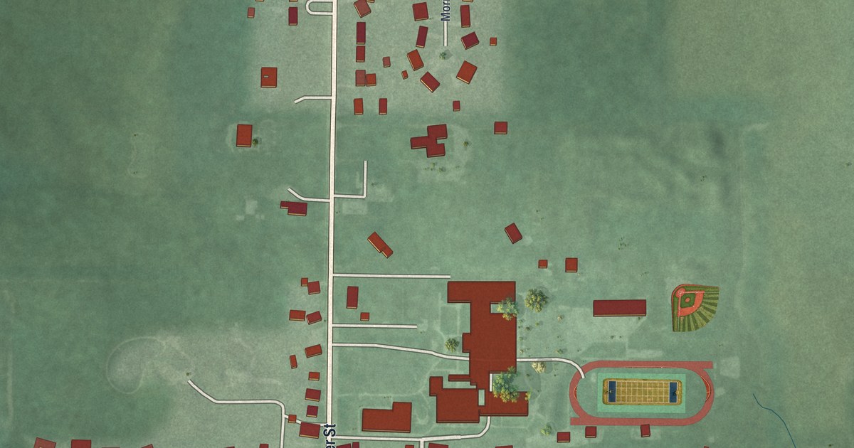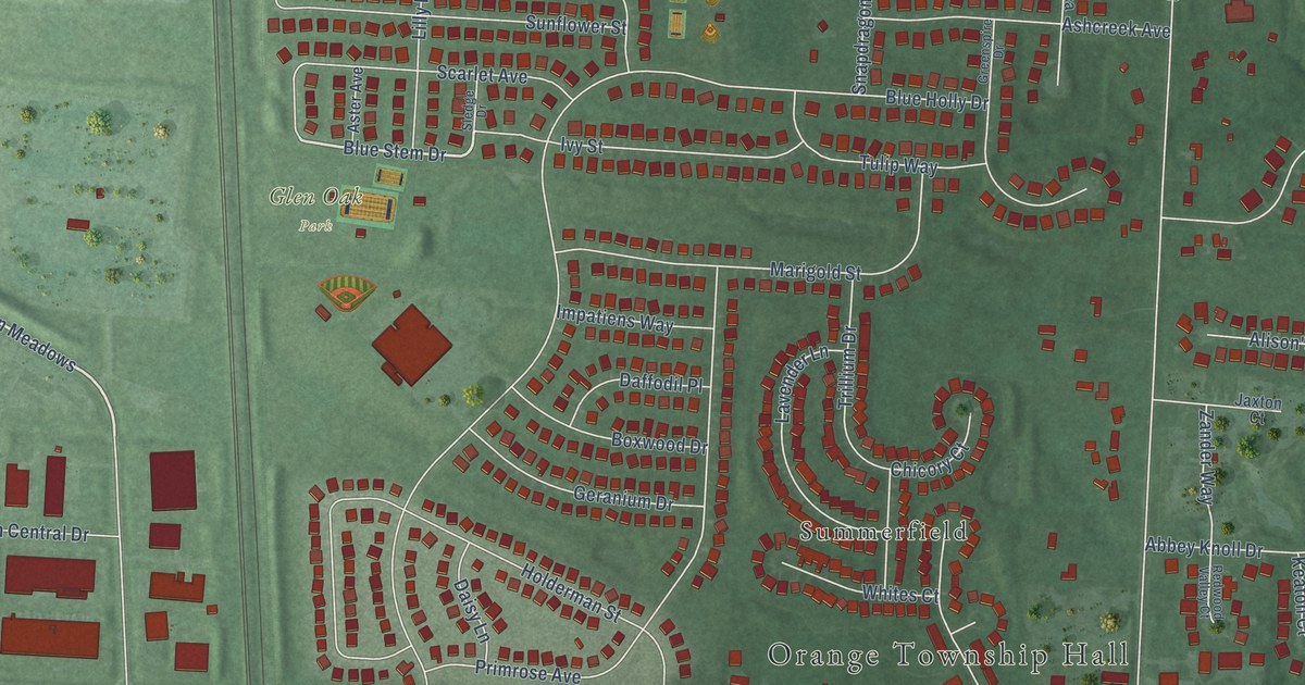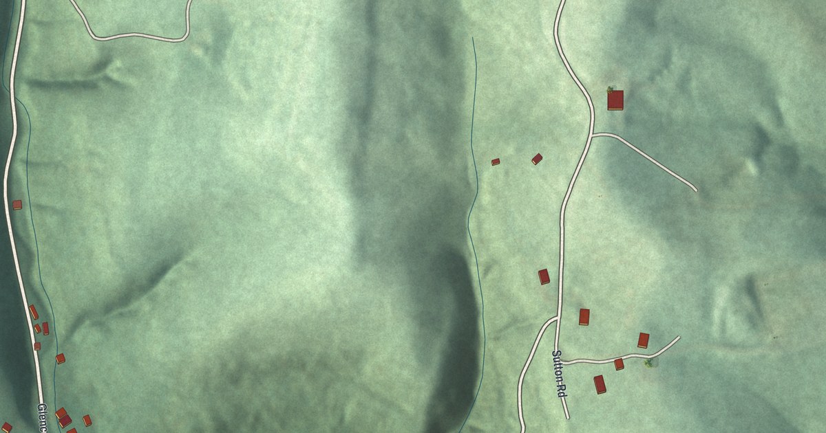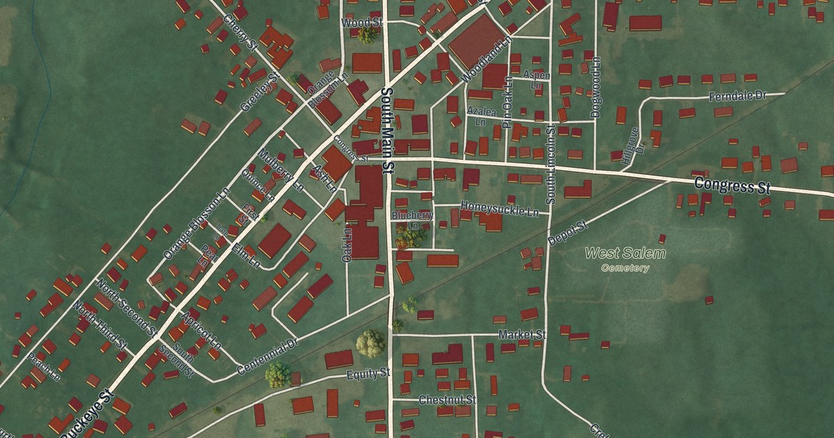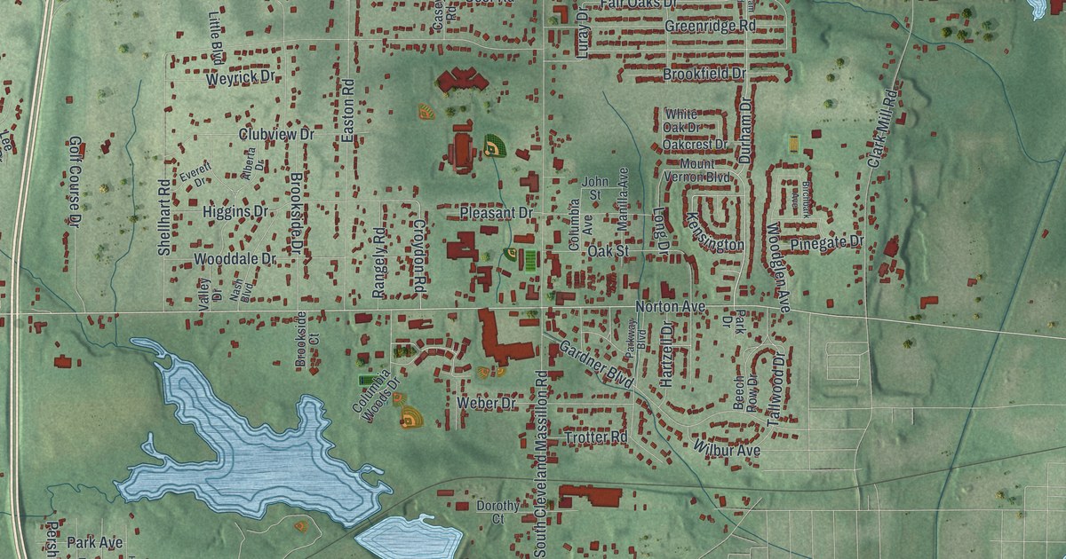
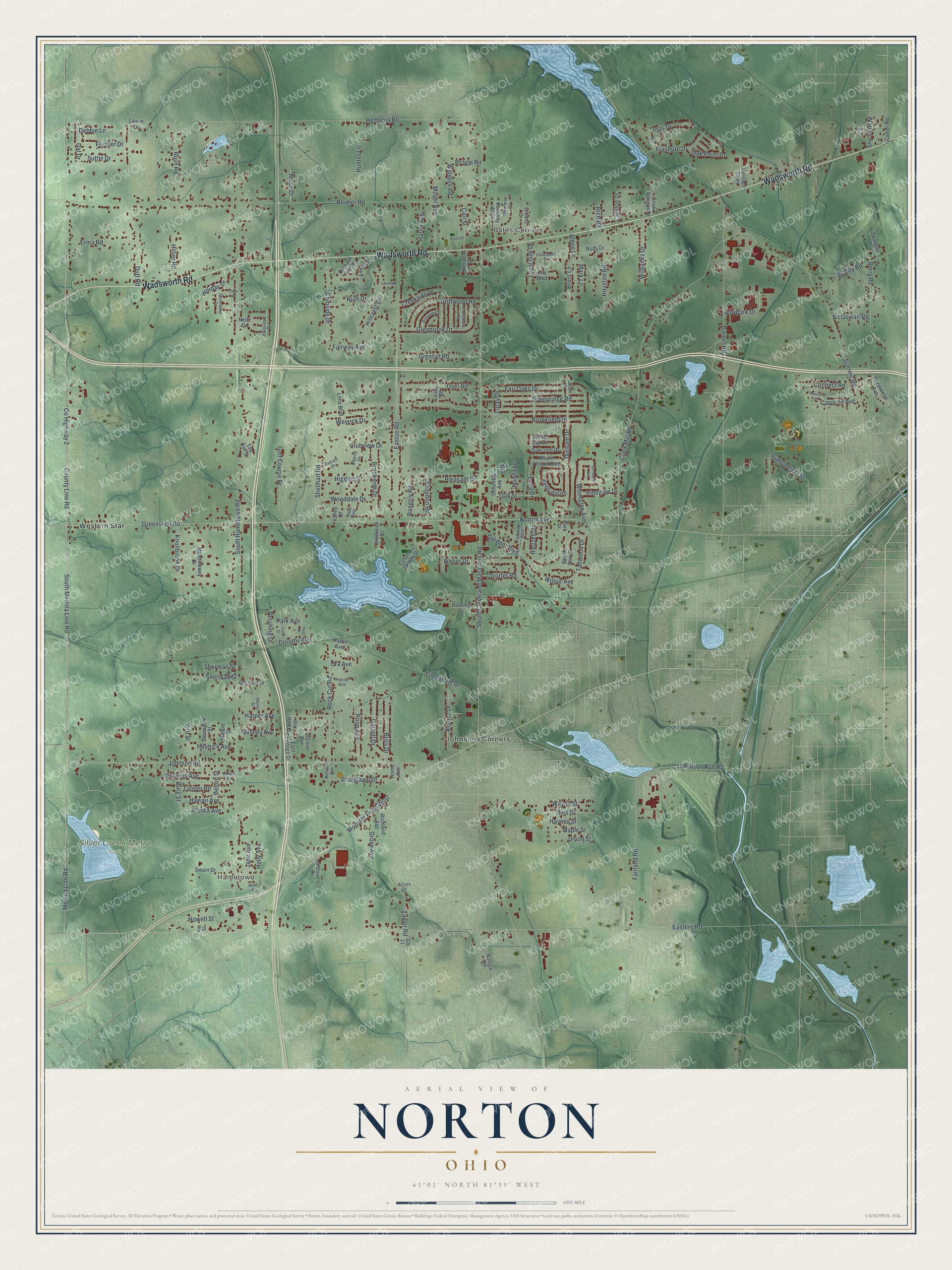
This beautifully detailed map of Norton, Ohio was created in 2026 using aerial imagery combined with modern topographical, census, street and landmark data. It’s a one-of-a-kind view of Norton that combines accurate data with a vintage aesthetic. The map shows every building in its true location, many of the roads carry their names, and the shaded topographic relief shows the shape of the land.
Explore an aerial view of Norton, Ohio
On the map you’ll find Bates Corners, Hametown, Silver Creek Metro Park, Johnsons Corners, and Western Star, along with Wadsworth Road, South Medina Line Road, County Highway 2, Greenwich Road, Wooster Road West, County Line Road, Norton Avenue, and more. If you look closely you can even find your house accurately drawn in its correct location. Zoom in on the preview to look for yours.
Did you know this piece of Norton, Ohio history?
The city took its name from Birdseye Norton, one of the first owners of the township land. James Robinson and John Cahow were the first settlers, arriving in 1810. Cahow built the first tavern on his lot in 1812. In 1814 Robinson married Lois Bates, the township’s first wedding.
Take a closer look at the Norton map
Street and place names on the Norton, Ohio map
These names are printed on the map of Norton, Ohio.
Places: Bates Corners, Hametown, Silver Creek Metro Park, Johnsons Corners and Western Star.
Streets and roads: Wadsworth Road, South Medina Line Road, County Highway 2, Greenwich Road, Wooster Road West, County Line Road, Norton Avenue, Eastern Road, Johnson Road, Medina Line Road, Luray Drive, South Hametown Road.
More street names, A to Z
4-Dave's Drive, Alaska Avenue, Alberta Drive, Albert Avenue, Alcorn Drive, Aldon Lane, Anton Street, Barber Road, Beech Row Drive, Belton Street, Berry Road, Bevington Street, Birchbark Avenue, Bliss Drive, Brent Lane, Brogle Road, Brookfield Drive, Brooklawn Drive, Brookside Court, Brookside Drive, Burg Street, Bushey Avenue, Carillon Drive, Carl Street, Caroline Avenue, Casey Road, Cherrywood Drive, Clara Avenue, Clark Mill Road, Clubside Drive, Clubview Drive, Collier Road, Columbia Avenue, Columbia Woods Drive, Connect Road, Creekside Drive, Croydon Road, Dal Drive, Debbie Lane, Dorothy Avenue, Dorothy Court, Driftwood Road, Durham Drive, Durham Road, Dutt Road, East Frontage Drive, Easton Road, Erma Road, Everett Drive, Fairland Road, Fair Oaks Drive, Fairway Avenue, Flesher Drive, Foch Street, Frashure Drive, Gardner Boulevard, Garrett Drive, Givens Drive, Glenbrook Drive, Golf Course Drive, Greenbriar Drive, Greenridge Road, Grenfall Road, Grove Avenue, Haig Street, Harper Avenue, Harris Avenue, Hartzell Drive, Hawaii Avenue, Haynes Street, Hazelwood Avenue, Helmick Avenue, Hemphill Road, Heritage Parkway, Higgins Drive, Hillcrest Drive, Hillier Road, Hoctor Avenue, Holiday Drive, Holly Avenue, Home Avenue, Homer Street, Houston Road, Howell Street, Hudson Run Road, Hunter Lane, Huntsberger Street, Inas Drive, Jane Avenue, John Street, Jones Street, Julian Avenue, Kay Boulevard, Kensington, Knecht, Knollbrook Drive, Krancz Drive, Kungle Road, Lakeland Drive, Landis Road, Laurie Lane, Lee Ann Drive, Limestone Drive, Little Boulevard, Long Drive, Loyal Oak Drive, Maco Drive, Manilla Avenue, Maple Street, Mark Lane, Martin Avenue, McCoy Road, McGowan Road, Meadowway Drive, Melrose Avenue, Milford Street, Monteray Drive, Mount Vernon Boulevard, Moyer Avenue, Nash Boulevard, Neitz Drive, Newpark Drive, Newton Street, Oakcrest Drive, Oak Point Drive, Oak Street, Ora Avenue, Orchard Drive, Orchard Hill Drive, Oser Road, Park Avenue, Park Drive, Parkway Boulevard, Pershing Drive, Pikeview Drive, Pinegate Drive, Pleasant Drive, Rangely Road, Ray Street, Reimer Road, Richland Avenue, Rich Road, Ries Street, Rock Cut Road, Roop Avenue, Rosebay Boulevard, Rudy Drive, Rush Road, Ruth Drive, Shellhart Road, Sheridan Street, Sherman Street, Silverdale Drive, Silver Springs Drive, South Cleveland Massillon Road, Spangler Drive, Sue Lane, Summit Road, Suttle Drive, Swain Drive, Tallwood Drive, Tapper Road, Taylor Road, Trotter Road, Union Street, Valley Drive, Virn Street, Waldern Road, Warren Avenue, Watkins Avenue, Watkins Road, Wayne Street, Weber Drive, Weyrick Drive, Whipple Drive, White Oak Drive, Wilbanks Drive, Wilbur Avenue, Wooddale Drive, Woodglen Avenue, Woodlawn Drive.
See the Norton, Ohio map on a wall
The Norton map as an 18 x 24 inch print in a black frame.

This beautifully detailed map of Norton makes an attractive addition to your office, library, or den, and it can even be used to teach children the geography and history of the area. It also makes a great gift for anyone who grew up in Norton or moved away. When you’re done exploring, click here to get your copy of the Norton map.