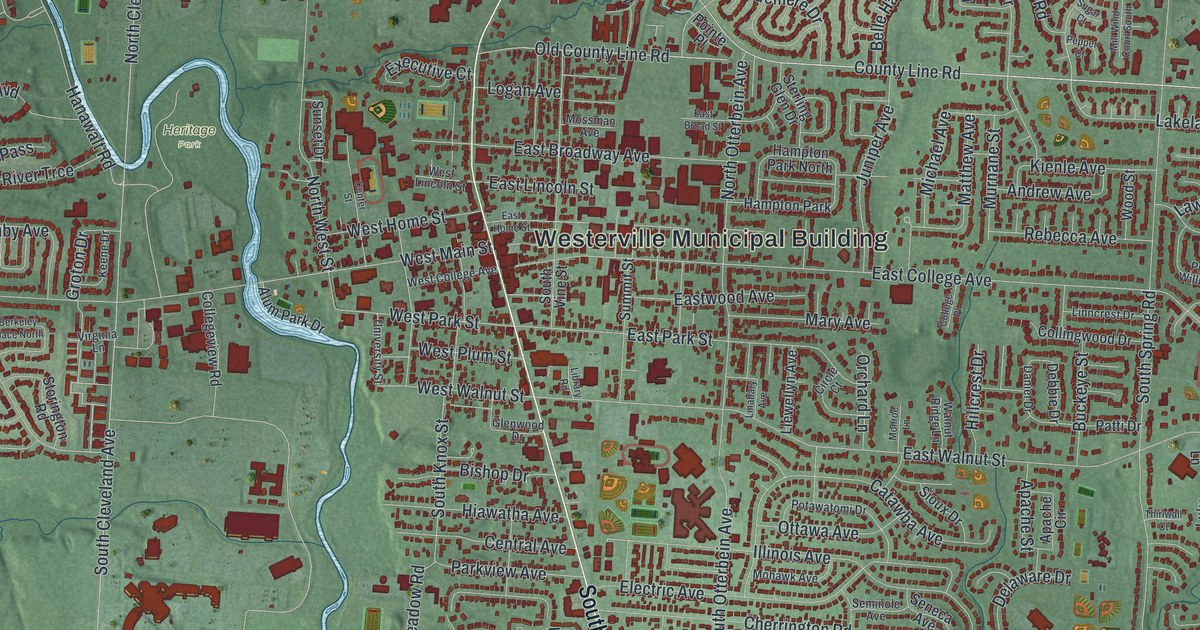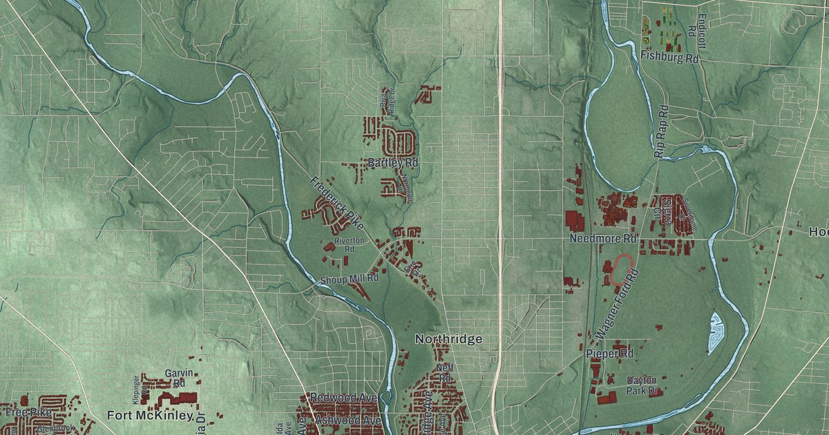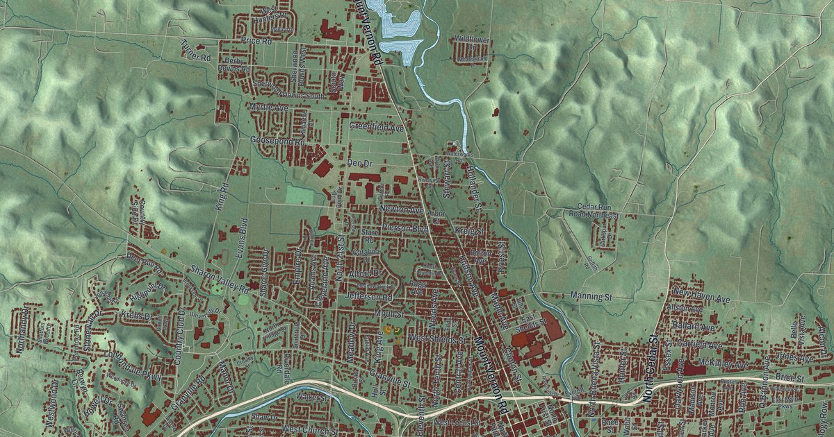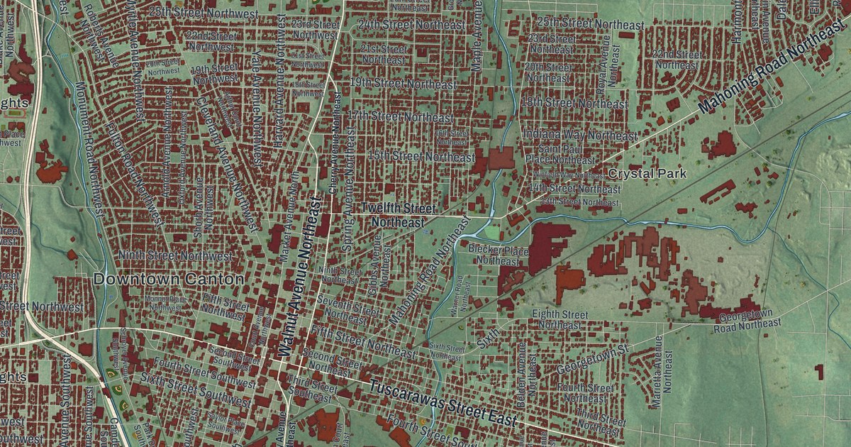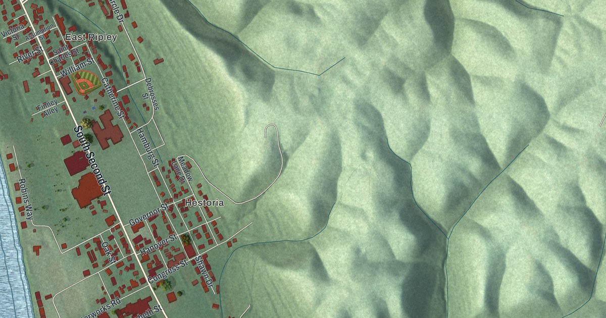
If you grew up in Ripley or have family here, take a look at these riverfront blocks. This modern aerial view of Ripley in Brown County, Ohio pairs modern data with a vintage feel. Red buildings fill the narrow strip between the broad blue river and green hills. Main Street, East Ripley and Hestoria give you familiar names to find.
North Front Street and Ripley's Underground Railroad
You'll find Main Street, North Front Street, North Second Street, South Second Street, Rankin Hill Road, Market Street, Cherry Street, Governor Street, East Ripley, Hestoria, Clems Shady Nook Park, and more. Each red shape is a building, so zoom in on the preview and look for yours.
Ripley was a busy river port, but it's best known for its fight against slavery. The historical marker at the John P. Parker House tells that story. John Rankin and John P. Parker were among the town's Underground Railroad conductors. Ripley's network earned it the name "Black Hole of Abolitionism." The marker stands at Parker's home at 300 North Front Street. You can find that street printed beside the river on this map.
Keep Main Street and East Ripley close
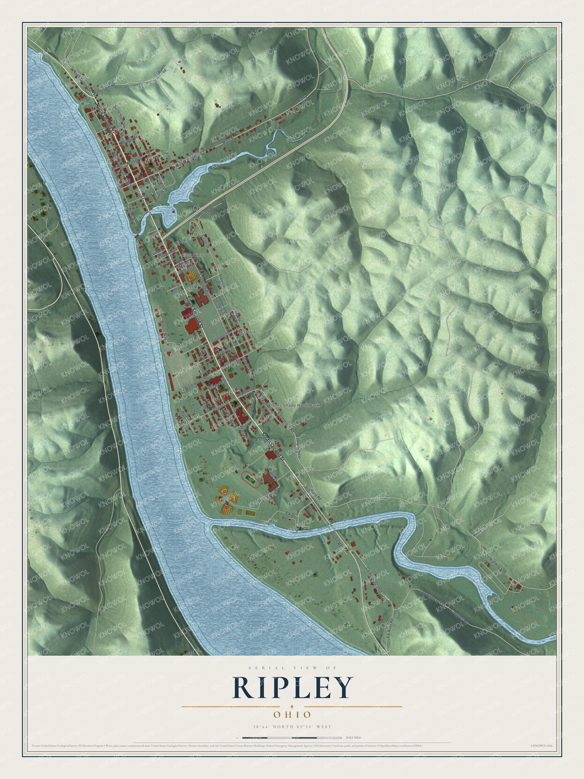
Created by KNOWOL in 2026, the print uses green hill shading, blue water and deep red buildings within a cream border. The title panel reads "Aerial View of Ripley, Ohio" with 38°44' North, 83°50' West and a half-mile scale bar.
Hang it in a living room, office or entryway where you can look for a familiar block. It's a gift for someone who grew up near Main Street and moved away. Open the preview and zoom in on the streets they know. See sizes and frames for the Ripley map.